Trail Overview
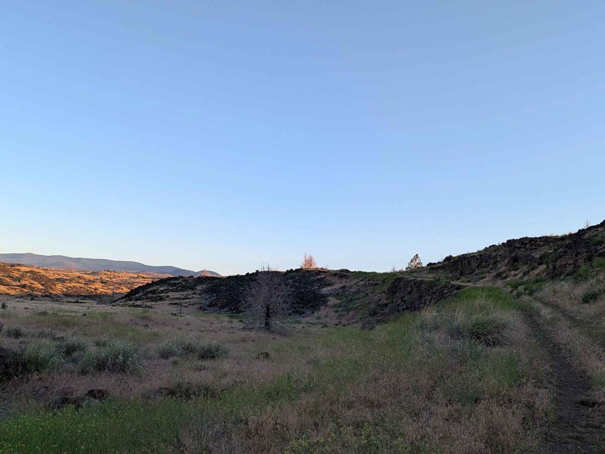
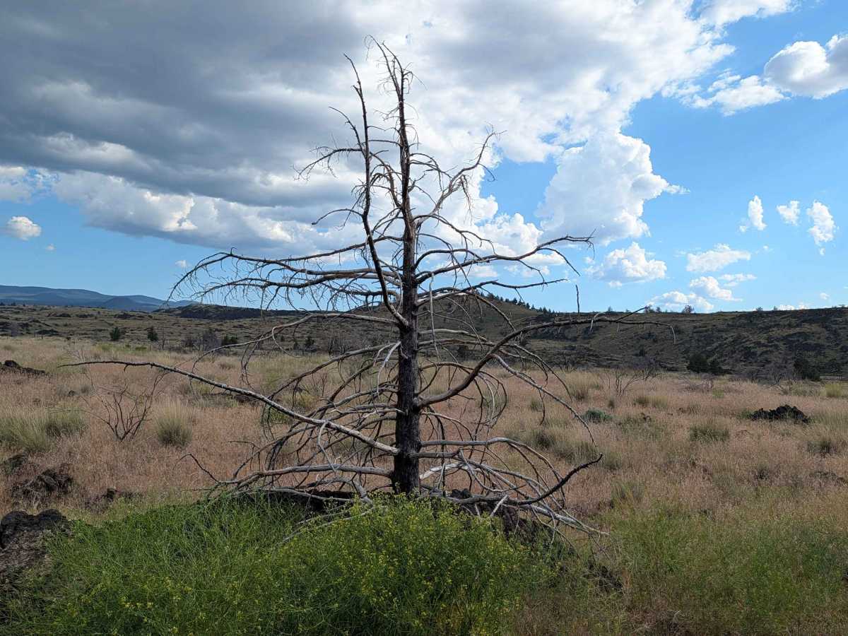
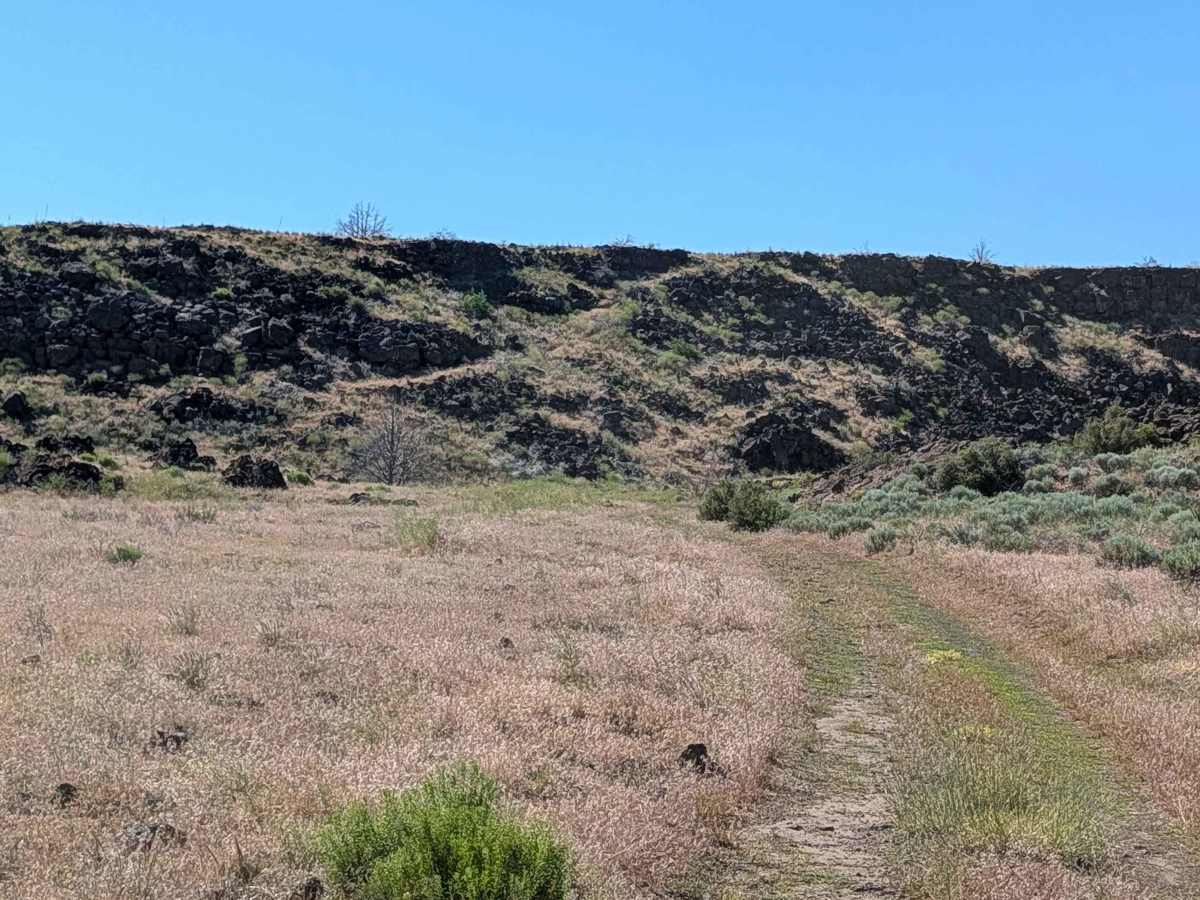
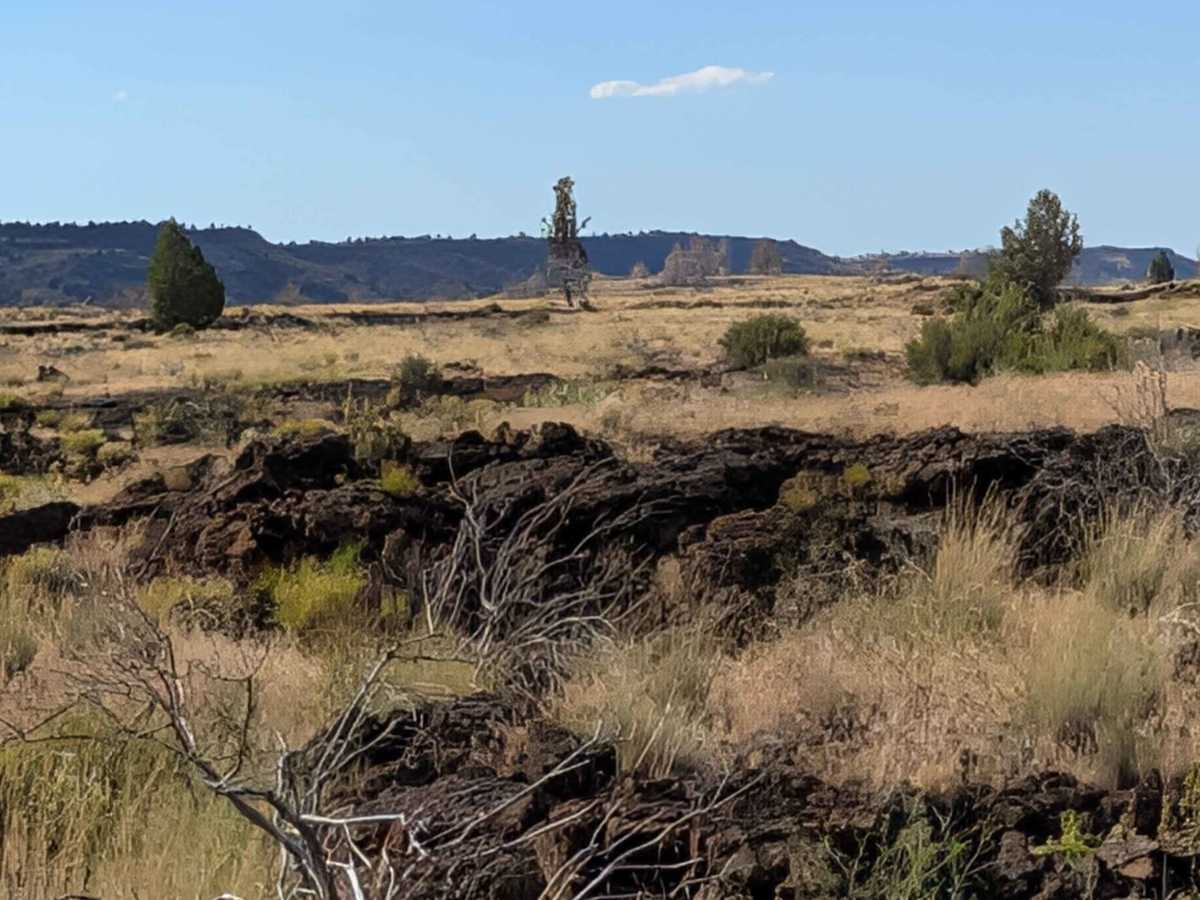
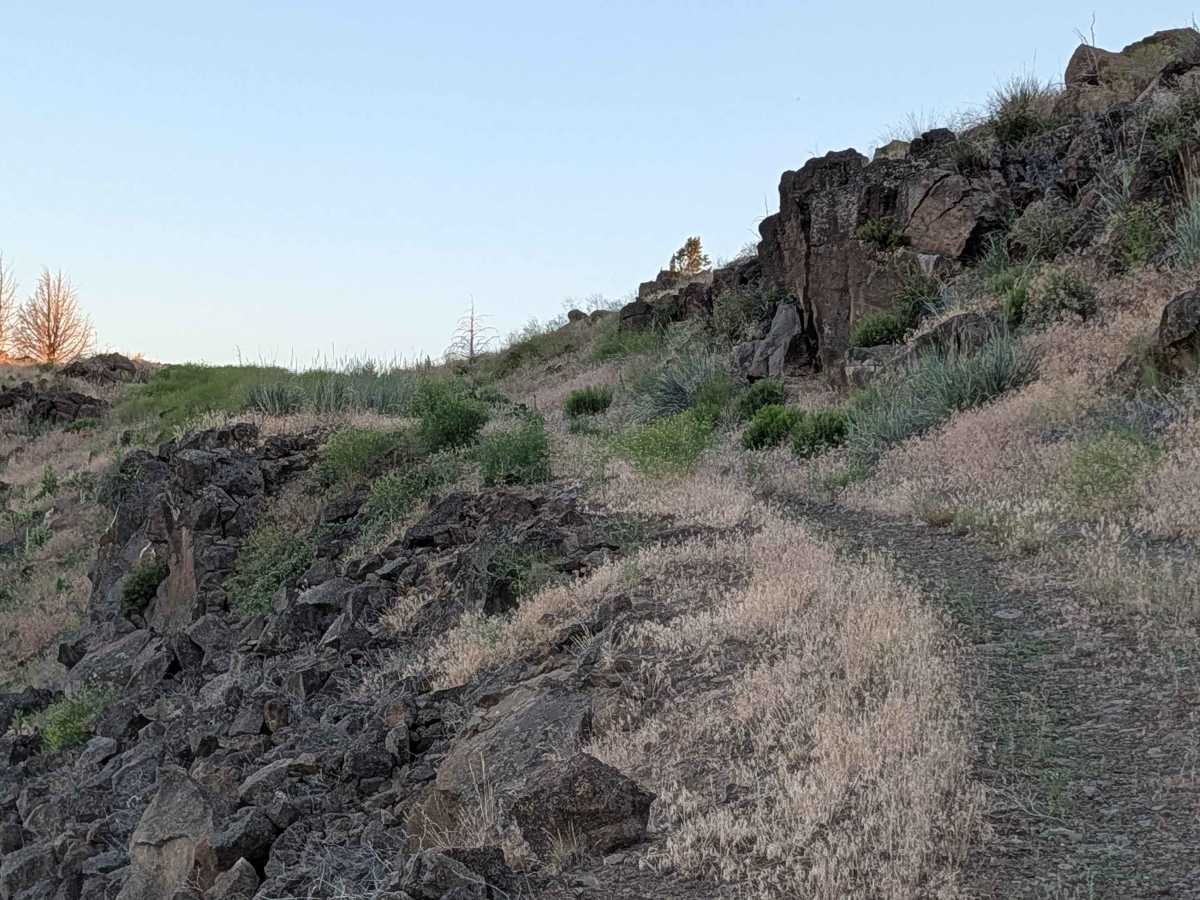
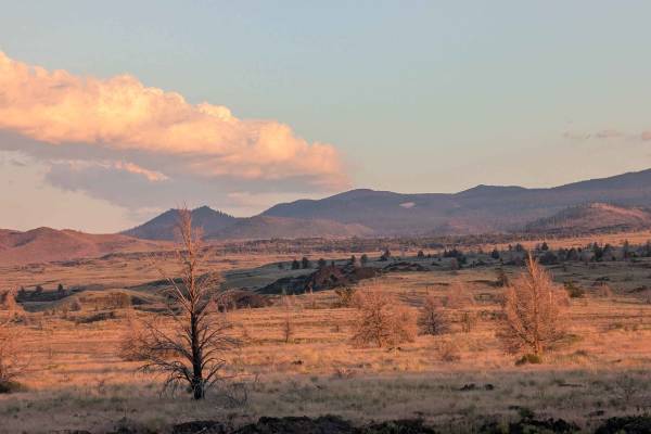
This route begins on the east side, diverging from Hill Road within the bounds of the Lava Beds National Monument. The landscape is profoundly defined by ancient volcanic activity, with the trail winding through an environment dominated by sprawling lava rock formations interspersed with patches of native grasses, resilient brush, and pockets of trees. As you navigate the pass, the horizon opens to reveal spectacular panoramic views of the surrounding mountain ranges, with Mount Shasta standing as a prominent landmark. The area’s unique topography, consisting of numerous volcanic hills, creates a rugged yet captivating backdrop that highlights the distinct geological heritage of the region.
Difficulty
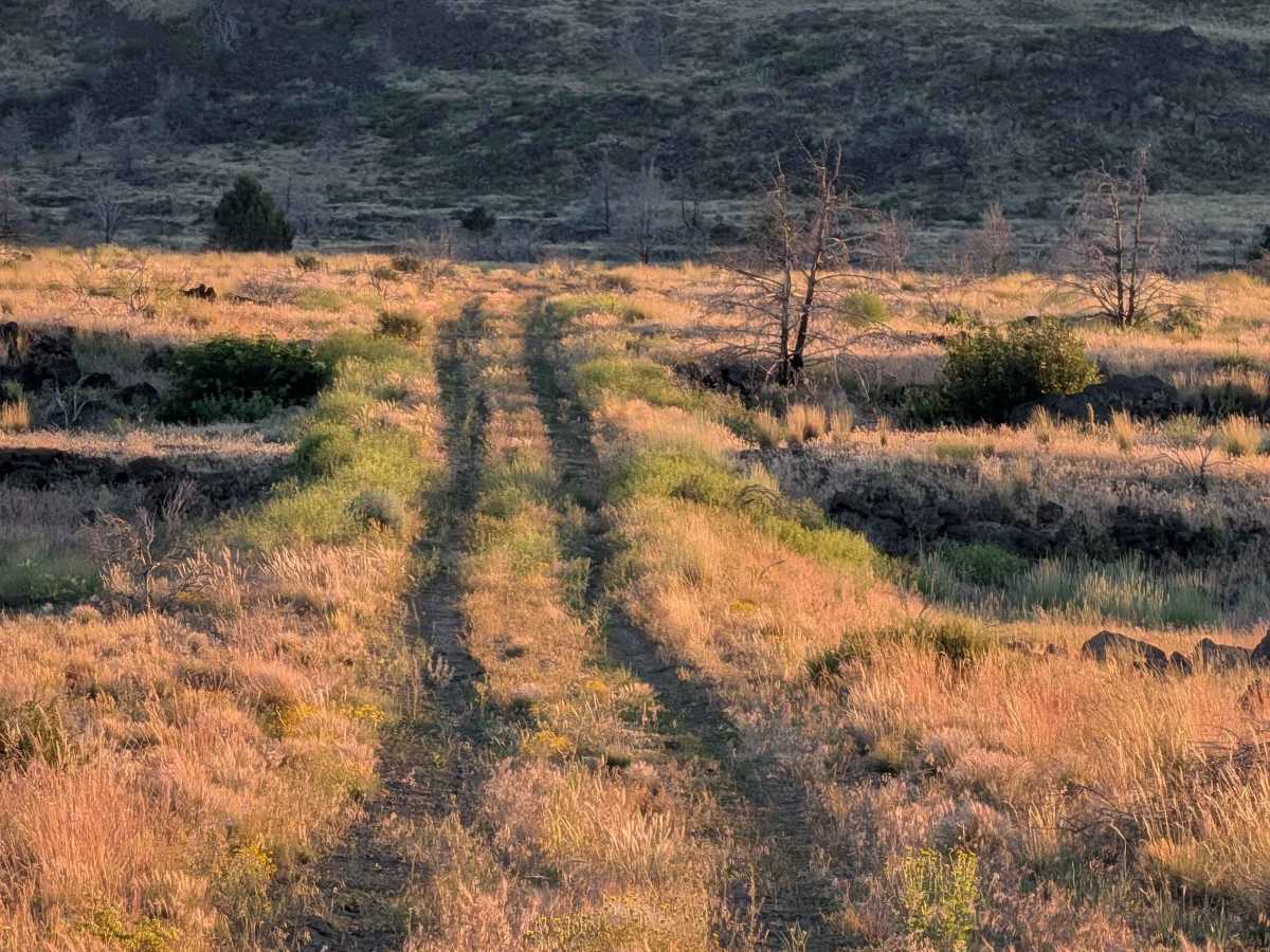
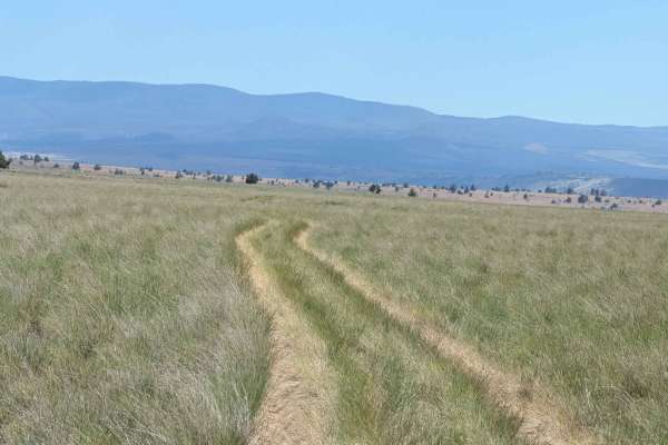
The surface shifts from an initial paved segment to a hard-packed gravel track that is approximately one vehicle wide. In some portions of the trail, the gravel gives way to a dirt base that is prone to retaining moisture, especially after rain, which creates a localized mud hole. While the initial section is paved, the trail quickly transitions into a more technical path that demands the driver's attention. Navigators will encounter sections where the track climbs narrow shelf roads, requiring careful steering to loop safely around the contours of the terrain. The route also features a few mud holes, which, while under 12 inches deep, can present unexpected traction challenges. Drivers must also contend with significant vegetation in the center median, where overgrown grass and brush can obscure the path or contact the vehicle's undercarriage, necessitating a cautious pace to avoid potential damage or high-centering.

 Offroad