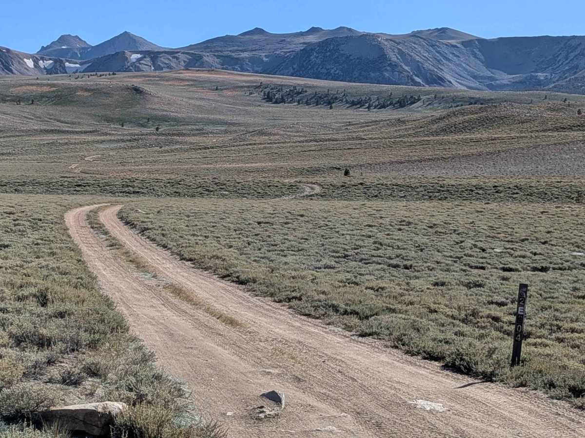
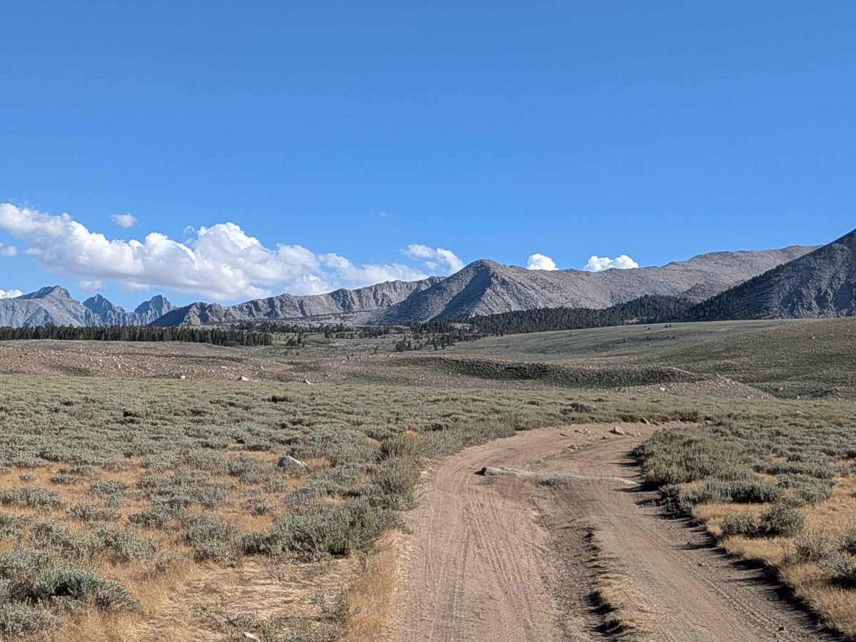
Funnel Lake Loop - 32E304

Total Miles 4.5
Technical Rating
5 Moderate
Best Time Fall, Summer
Trail Type Full-Width Road
Accessible By
Open Trail Map

Trail Overview

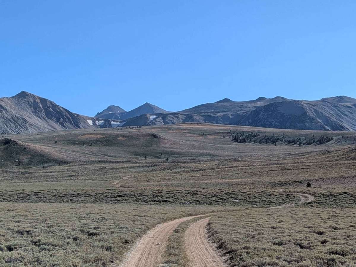
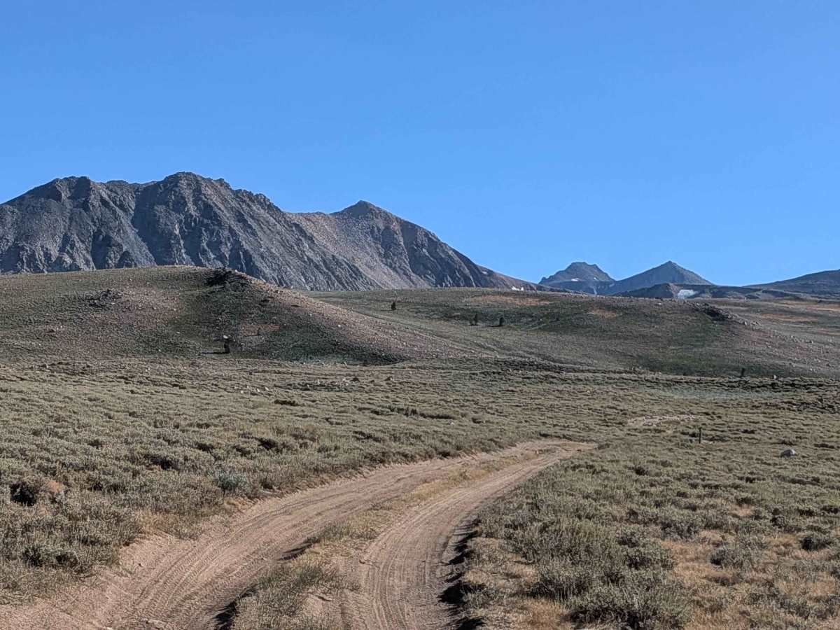
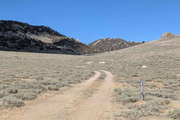
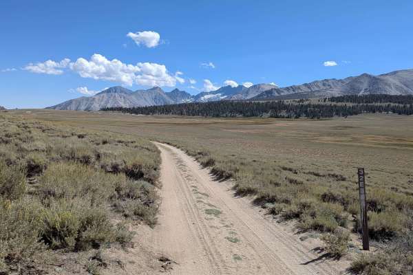
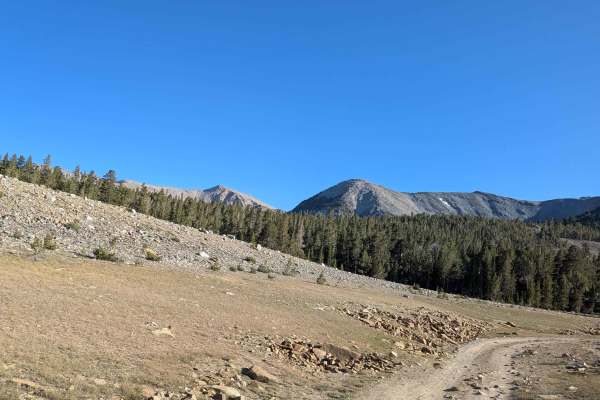
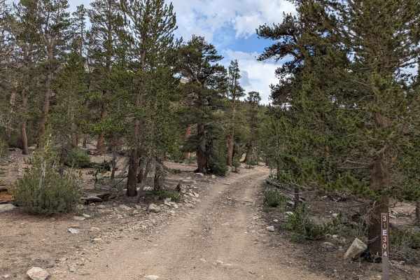
This trail takes you up to the Funnel Lake area, starting and stopping on S32E303 East about 3/4 mile apart in a loop configuration. The route offers views of the Eastern Sierras as you drive up the mountain and passes through a small pine forest partway through. It's a very dusty trail, so use caution if you're following anyone. People have stacked rocks along the way to make some sections easier to navigate. On the lower sections of both sides of the loop, the trail is more sandy with some rocks. The sections near the top and the lake are almost all rock gardens and more challenging. See the difficulty section for more information. The short trail to Funnel Lake is at the top of this loop, FS32E304A.

Photos of Funnel Lake Loop - 32E304

Difficulty

Starting from the south loop side, the trail is mostly sandy for the first half mile before hitting a small rock garden. At one mile, you encounter a bigger rock garden, and from mile 1.5 to 2.5, you hit continual rock gardens that become increasingly more difficult and taller, but all obstacles remain under 18 inches, keeping most of the southside of the loop at a 4 rating. However, the rating jumps to 5 when heading back from the lake on the north side of the loop, where you immediately hit a hill with steps, rocks, and tree roots that are over 18 inches. After the initial challenging section, the remaining rock gardens are level 2 to 4. If starting from the north loop side, you'll travel almost 1.5 miles on pretty easy-flowing sandy roads with a few small rock gardens before the last half mile becomes harder, with the very last downhill featuring the level 5 area with larger than 18-inch drop-offs of rock and tree roots. 4x4 is a must, and lockers and traction control are very helpful. Stacking rocks may be needed, but the trail remains a fun challenge.

History

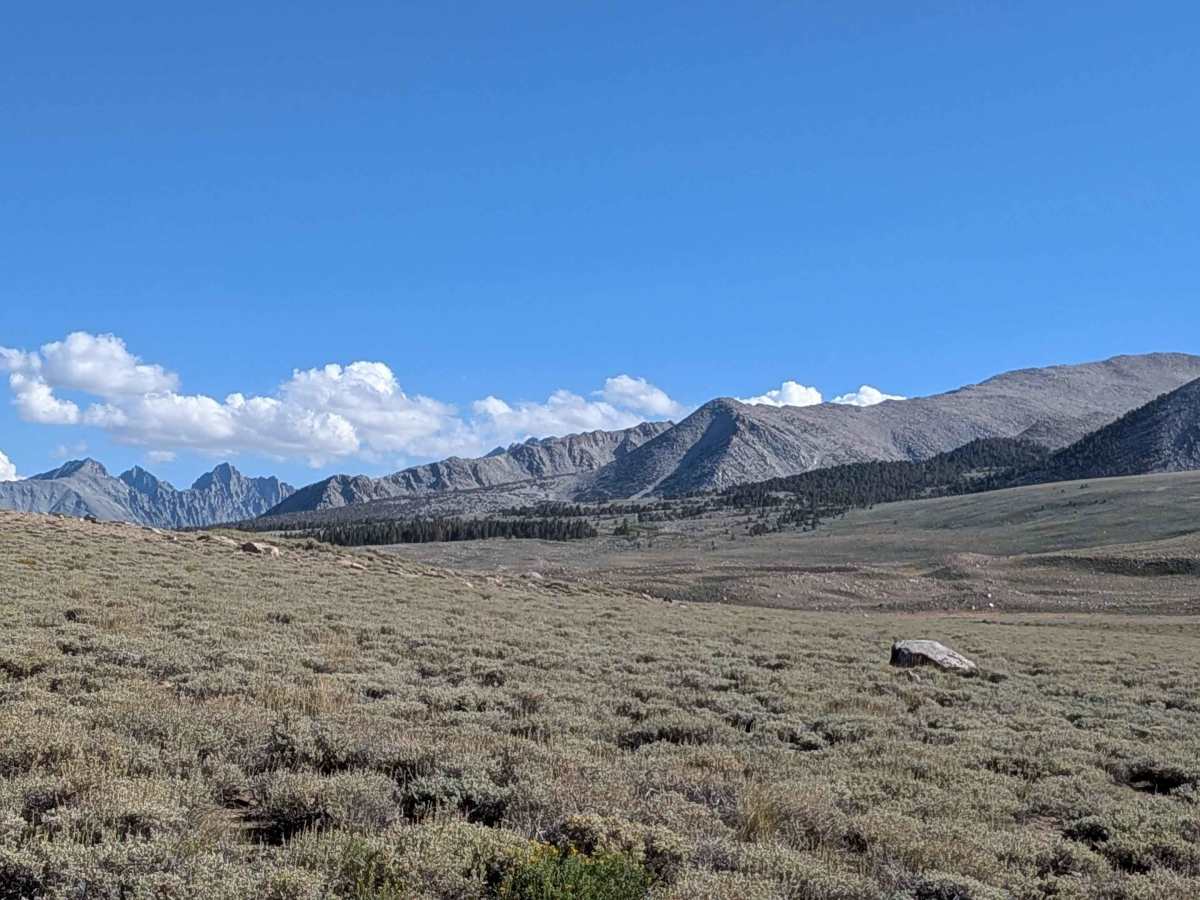
Funnel Lake, near Bishop, California, has a history intertwined with mining and recreation. It's located in the Bishop Creek Canyon, which was a hub for mining activity, particularly during the late 1800s and early 1900s. Later, the area became known for its recreational opportunities, including fishing and hiking.

Technical Rating

5

Status Reports

Add Status Report
Luke butler
May 30, 2026
Open
Trail is open!
Adam Leidy
May 14, 2026
Open
Snow drift blocking route to Funnel Lake. Please do not drive off trail around the drifts.
Stuart TheWild
May 08, 2026
Open
Got about a mile from 304A and started to encounter some deeper snow, but we were able to push through with a little digging and some skinny pedal application. Around 1/4 to 1/2 a mile from 304A found a section with 4 or 5 deep snow spots where we decided to turn around instead of risking getting stuck for hours
Carlo M
Sep 25, 2025
Open
We took the southern loop from Coyote Flats to Funnel Lake. North loop is much more rocky and longer rock gardens. This trail hits some rock gardens, lots of river rock style, not many jagged type. High clearance is best, 4x4 is needed. Going slow over the rocks helps not dropping my rock sliders onto the rocks. Slow going, took 2 hours from bottom of trail head outside Bishop to Funnel Lake, about 17 miles. Funnel Lake is rocky and slanted, tough for ground tents. No one there, lake to ourselves.
Henry Widdop
Sep 14, 2025
Open
Coming in from the north sucks. Just a bunch of rock gardens. And right before getting to the turn to funnel lake, there’s a very steep very rocky bit. Lots of ledges up to three fit. That’s why it’s a 5 trail. Of course if you come in from the south it’s basically a 3 trail. Would not attempt coming in from the north without 33”+ tires and traction control. Just go out and back from the south. Overall great little spot with very nice views. We were one of three groups though getting to camp a bit late. The other smaller pond has some nice spots to camp too.

Funnel Lake Loop - 32E304 Trail can be accessed by the following ride types:

  • Single Track
  • 50 Inch
  • 60 Inch
  • High Clearance
  • Full Width

Funnel Lake Loop - 32E304 Map

The onX Offroad Difference

onX Offroad combines trail photos, descriptions, difficulty ratings, width restrictions, seasonality, and more in a user-friendly interface. Available on all devices, with offline access and full compatibility with CarPlay and Android Auto. Discover what you're missing today!

Open Trail Map