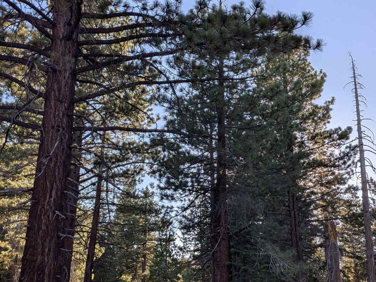
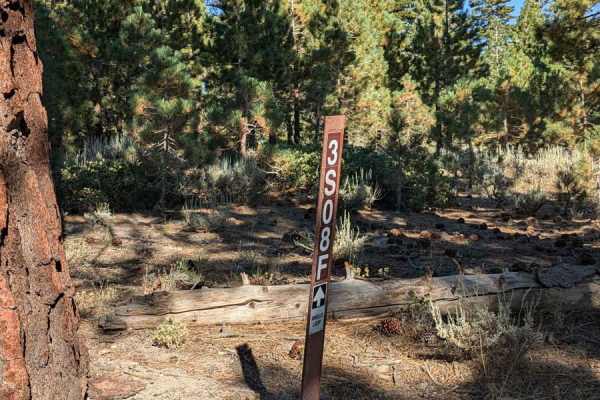
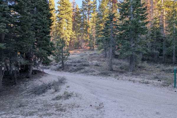
Trail Overview
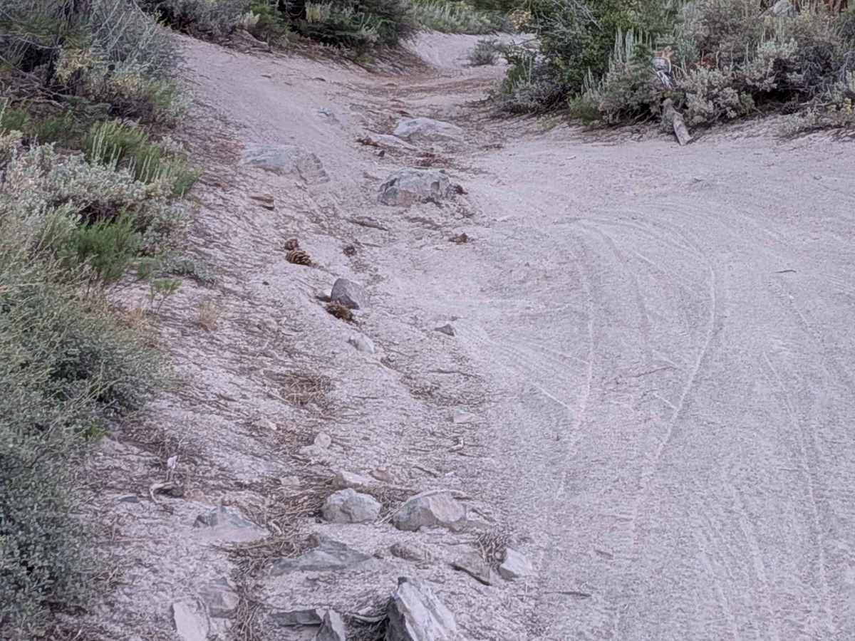
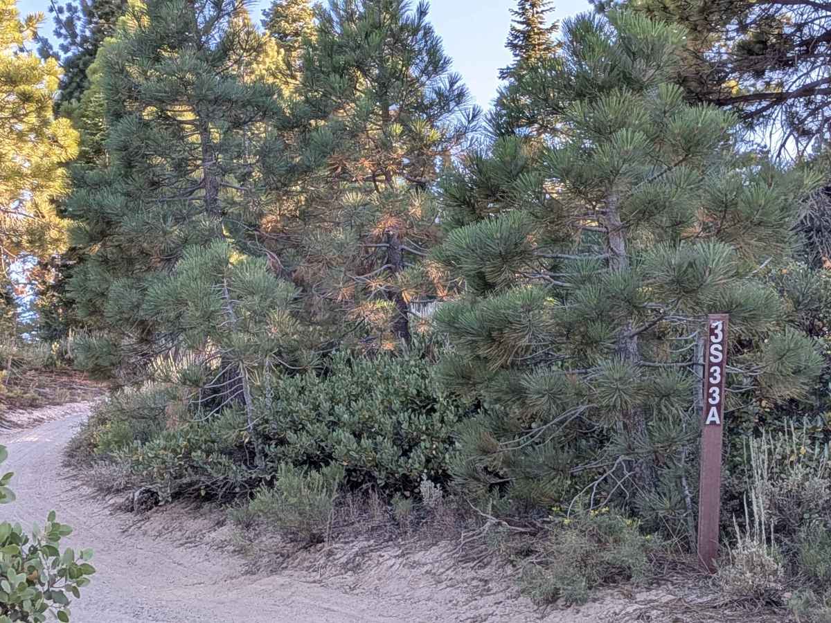
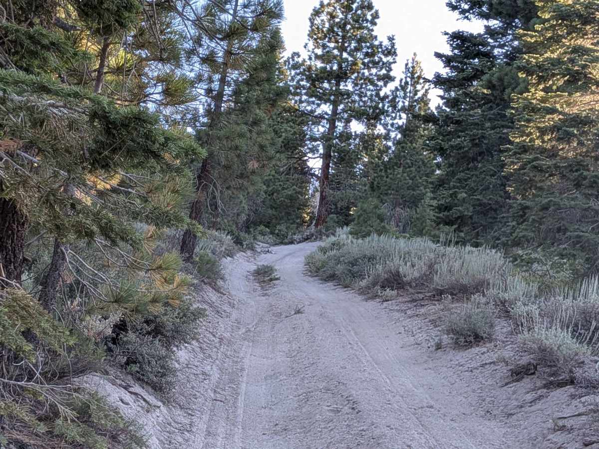
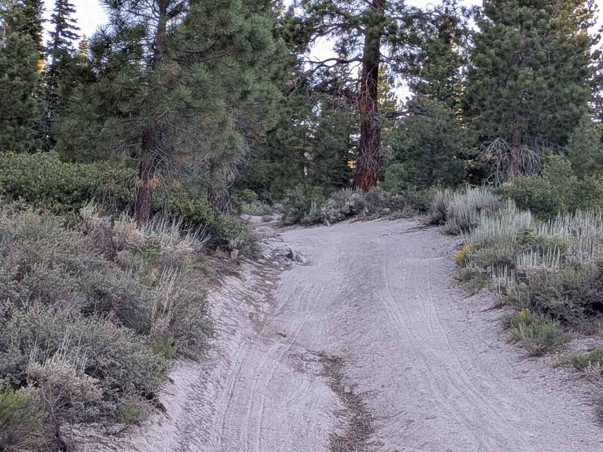
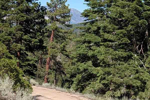
This trail s a very short but adventurous connector trail quickly climbs up a steep, sandy slope with a notable rock obstacle near the beginning, making it a brief but memorable detour for those who like technical bursts. The path winds through tight forested terrain, with low-hanging branches and close-set trees that can easily scrape wider or taller vehicles. Drivers of roof tents or lifted rigs should proceed with caution, as some branches may strike the cab or roof rack. Near the upper section, the trail skirts close to a dramatic drop-off, offering impressive views of the Eastern Sierra through the trees. A short walk leads to the edge of the cliff for those who want an even better panoramic vantage point.
Difficulty
This trail presents a brief but steep and technical challenge. While the route is short, the initial climb over soft sand combined with a rocky obstacle and off-camber section requires high clearance and 4WD. The tight tree corridor and low branches can make navigation tricky for larger rigs, and trail pinstriping is likely. It’s not a long endeavor, but it demands careful driving and good vehicle control — best suited for confident off-roaders in well-prepped rigs.