FS 4N35Y

Total Miles5.1
Technical Rating
2Easy
Best TimeSpring, Summer, Fall
Trail TypeFull-Width Road
Accessible By
Open Trail Map

Trail Overview

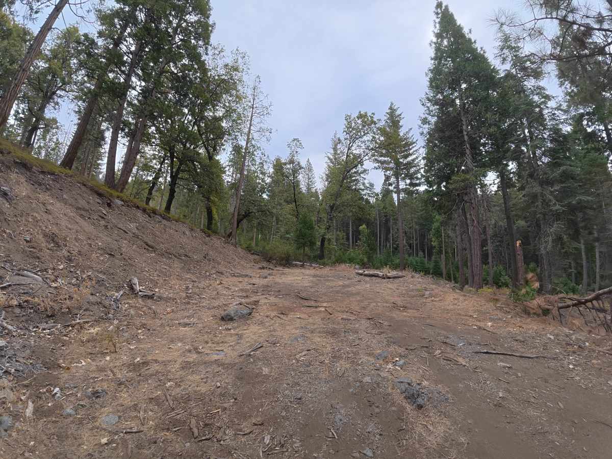
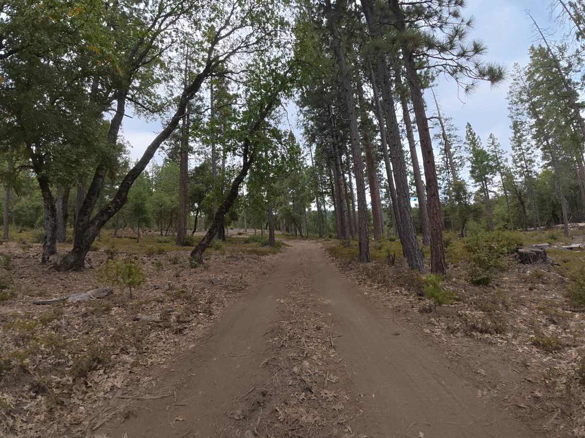
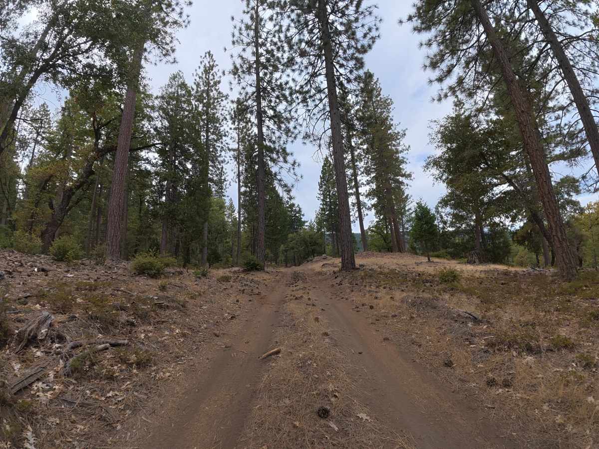
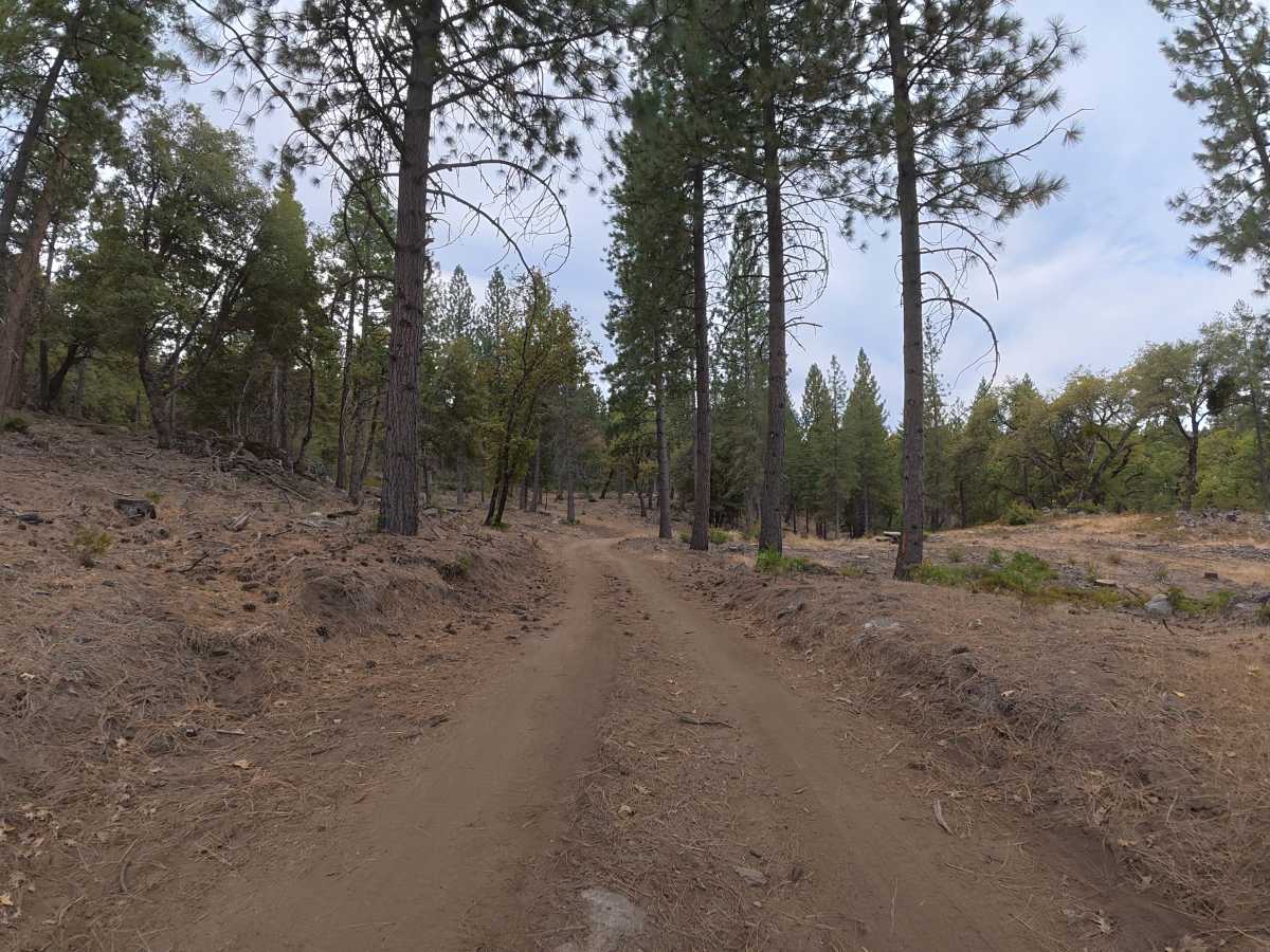
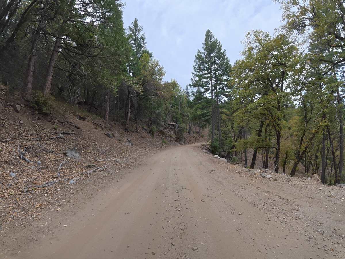
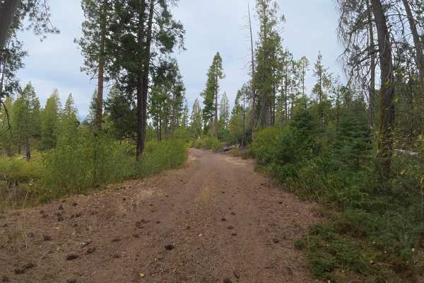
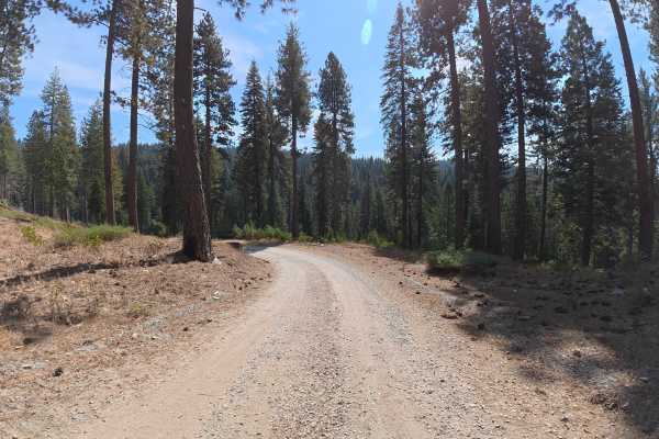
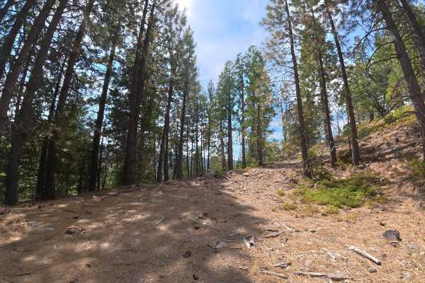
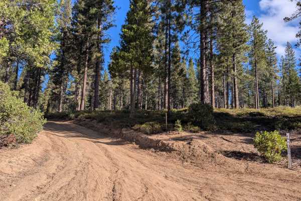
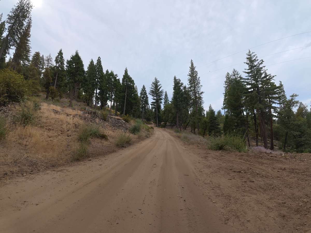
This narrow, fine-dirt trail begins directly off the paved road and climbs through the hillside, with occasional pullouts available for passing. Ruts begin around 4–6 inches deep with small rock gardens containing 2–3 inch rocks, while minor whoops reach 10–12 inches tall. The loose dirt can become considerably more difficult when wet. Camping is plentiful throughout the route, with level sites around 0.4, 1.1, 1.8, and 1.9 miles accommodating two to five vehicles, most with fire rings. The cliffside site around 1.1 miles is fully shaded and offers expansive mountain views. Another level hillside campsite near the far end accommodates up to three vehicles. Overall, the route provides an easy, scenic drive with camping options for solo travelers, groups, trailers, and fifth wheels.

Photos of FS 4N35Y

Difficulty

This trail is rated Level 2 because of the 4–6 inch ruts, small rock gardens, and 10–12 inch whoops. There are no significant technical obstacles, making it a relatively easy route under dry conditions.

Technical Rating

2

FS 4N35Y Trail can be accessed by the following ride types:

  • Single Track
  • 50 Inch
  • 60 Inch
  • High Clearance
  • Full Width

FS 4N35Y Map

The onX Offroad Difference

onX Offroad combines trail photos, descriptions, difficulty ratings, width restrictions, seasonality, and more in a user-friendly interface. Available on all devices, with offline access and full compatibility with CarPlay and Android Auto. Discover what you're missing today!

Open Trail Map