Trail Overview
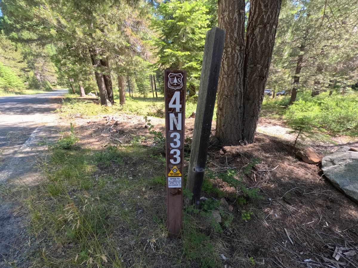
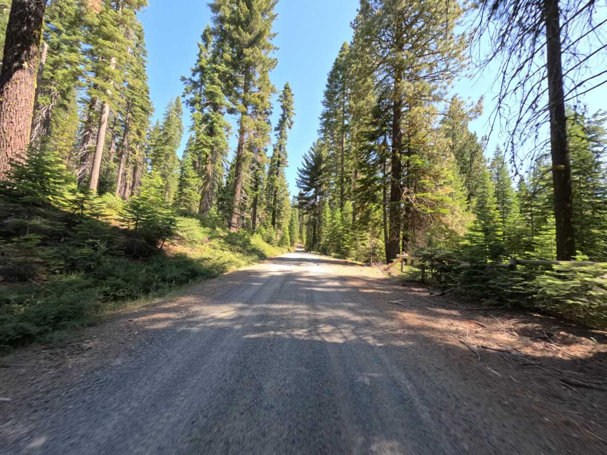
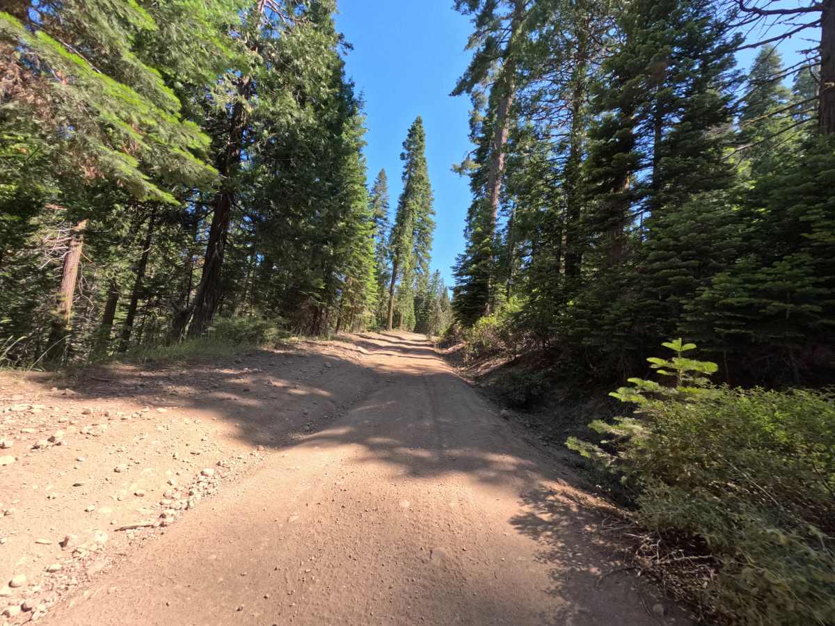
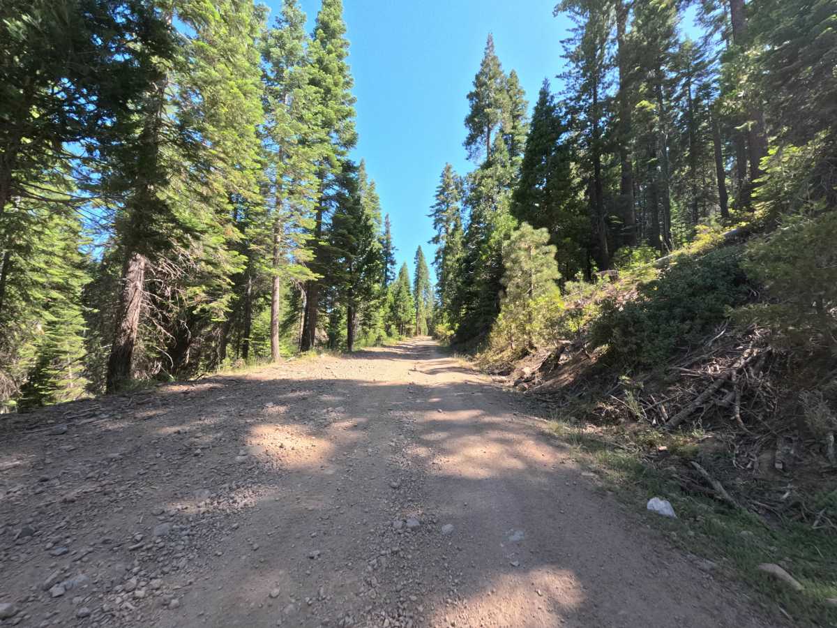
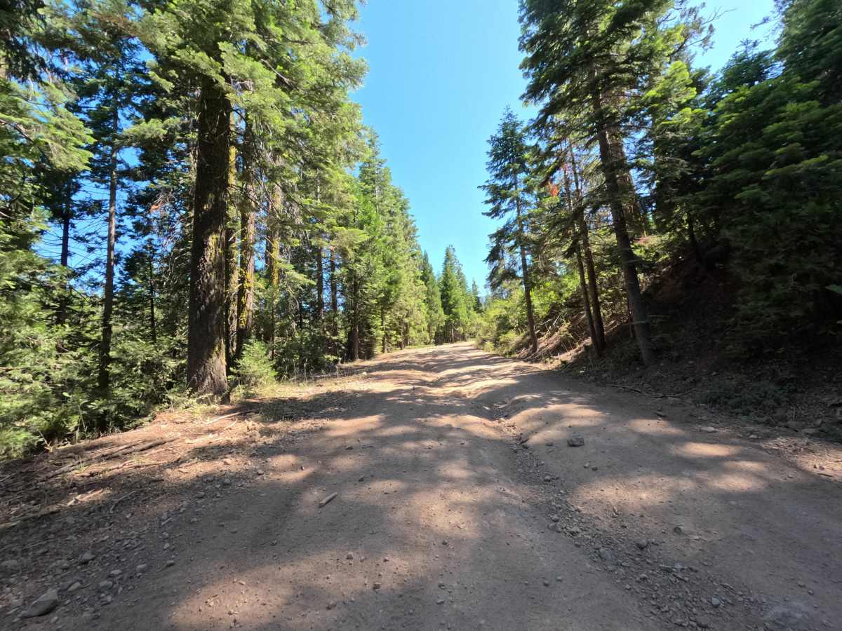
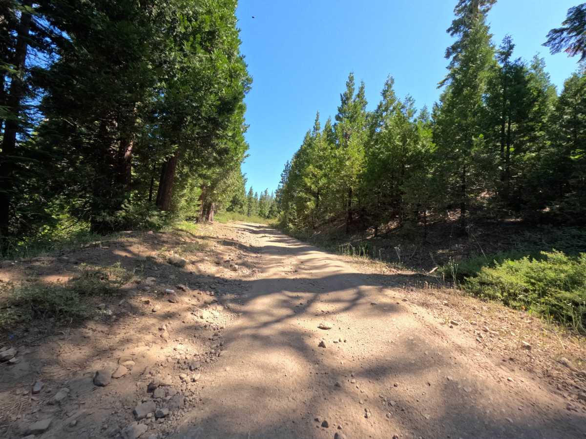
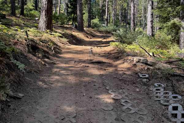
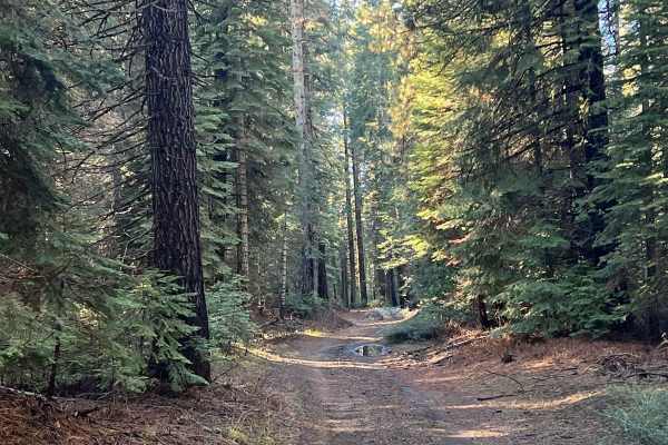
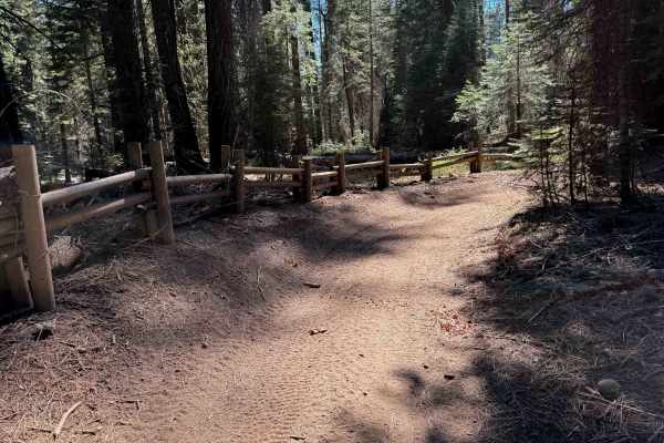
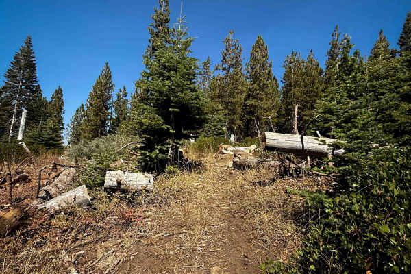
FS 4N33 branches directly off Merrill Springs Road near Hull Creek Campground in the Groveland Ranger District of Stanislaus National Forest, running as a through-connector into the surrounding trail network rather than dead-ending as a spur. The first stretch is a wide, well-graded gravel double lane cutting through dense conifer forest, wide enough for two vehicles to pass comfortably. At a central trail junction partway through, the character changes noticeably; the graded surface gives way to a narrower, single-track dirt route lined with rocky, embedded ruts running roughly 8 to 18 inches deep, and the grade steepens into a steady climb. The trail ties in at an intersection that functions as a staging point for several other routes in the area, making it a useful link for anyone continuing deeper into the network.
Difficulty
Rated a 3, FS 4N33 earns its number entirely in the second half. The opening stretch of graded gravel would barely register above a 1, but past the central junction the trail narrows to single-track and turns rocky, with embedded ruts in the 8 to 18 inch range that force a slower pace and deliberate line choice. It stays a 3 rather than climbing higher because none of the rock requires technical placement, just steady common-sense driving to keep tires off the largest stones.