Trail Overview
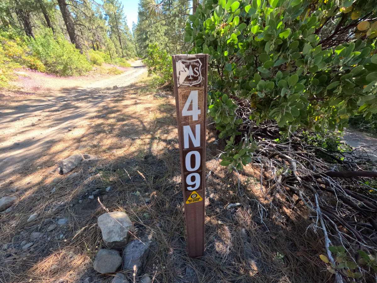
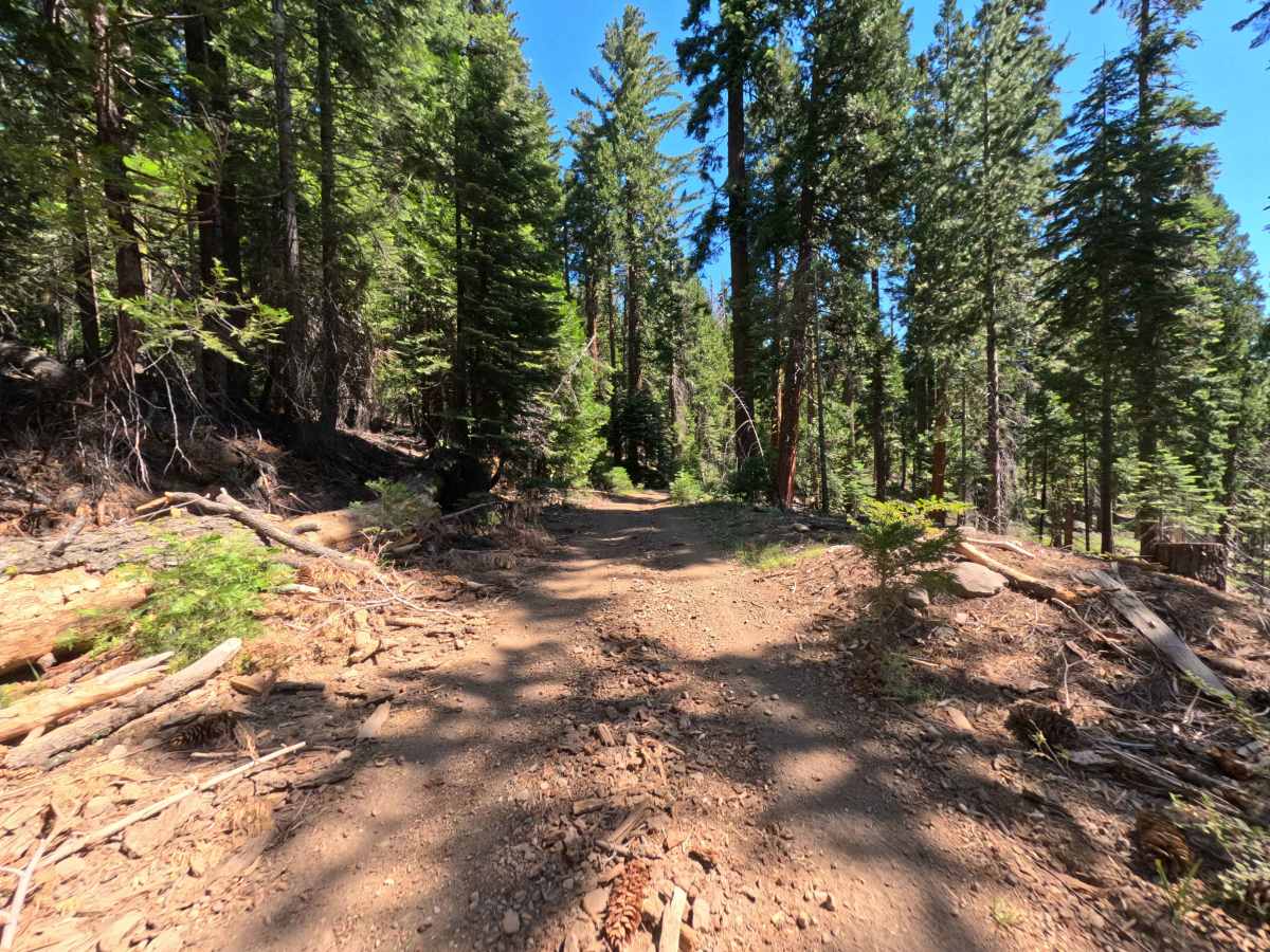
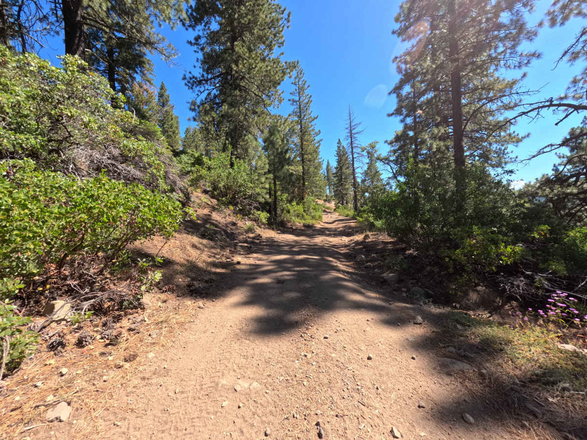
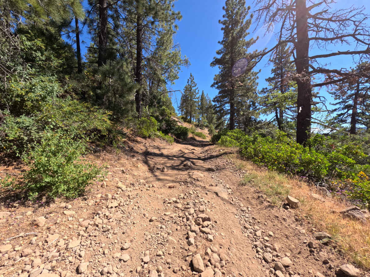
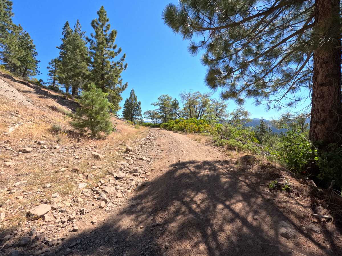
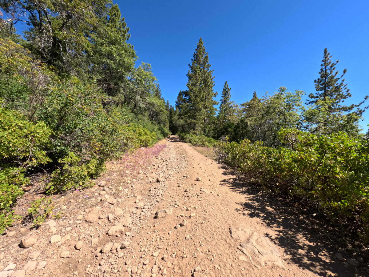
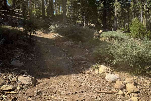
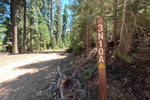
Forest Service Road 4N09 serves as a scenic, five-mile connector route providing essential throughput deeper into the backcountry of the Stanislaus National Forest. Branching off from the regional forest network near Forest Road 3N10, this corridor offers a vital passage between lower access points and interior routes while also providing ingress to scattered private parcels. The journey winds across a classic Sierra Nevada landscape, moving from open stretches bordered by dense chaparral into towering groves of ponderosa pines and fir. The path presents a dual personality: northern segments consist of broader, well-tended dirt and gravel lanes, while southern reaches transition into narrower, unmaintained terrain marked by loose cobble, shallow erosion channels, and embedded rocks. Recreationists frequently utilize this connector to reach dispersed trailheads, explore remote side spurs, and navigate between major forestry corridors.
Difficulty
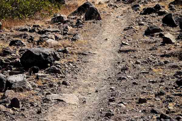
Forest Road 4N09 has variable surface conditions and mildly uneven terrain. While northern stretches offer smooth, graded dirt and packed gravel, the southern section introduces embedded stone, loose rock scatter, and small ruts carved by water runoff. Navigating these rougher patches requires attentive line choice and a measured pace to roll smoothly over irregular surfaces without bottoming out.