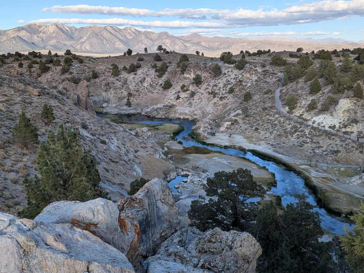
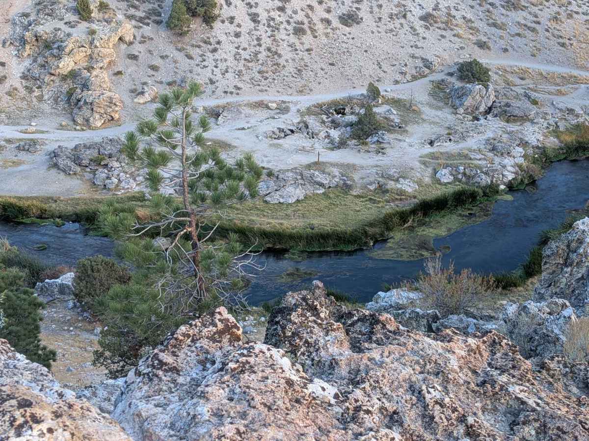
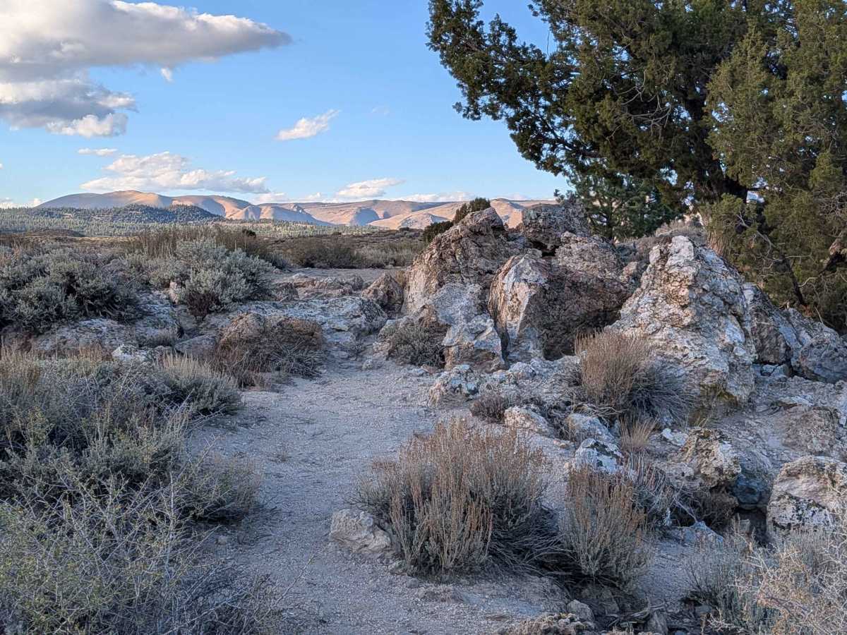
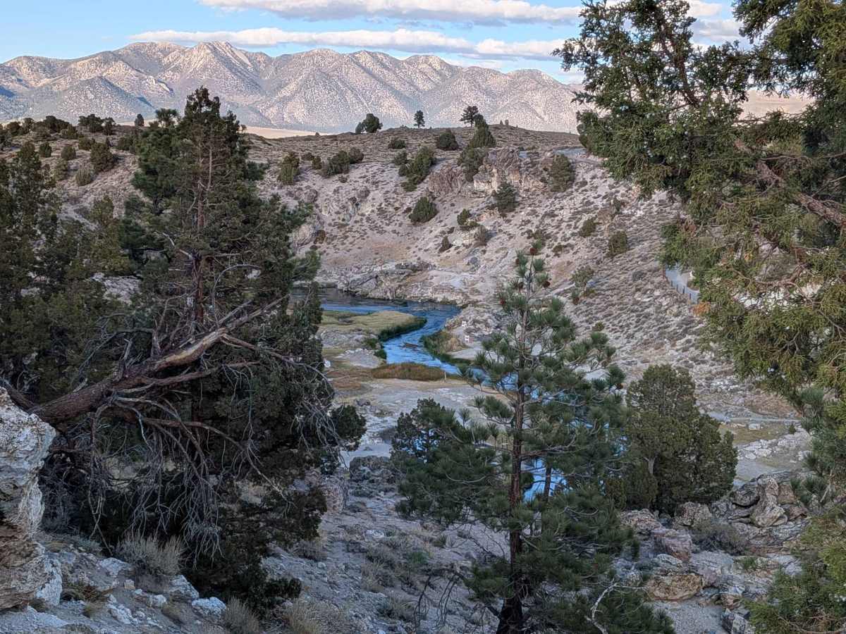
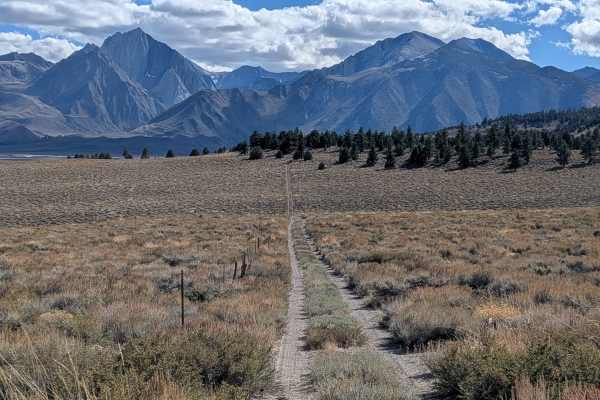
Trail Overview
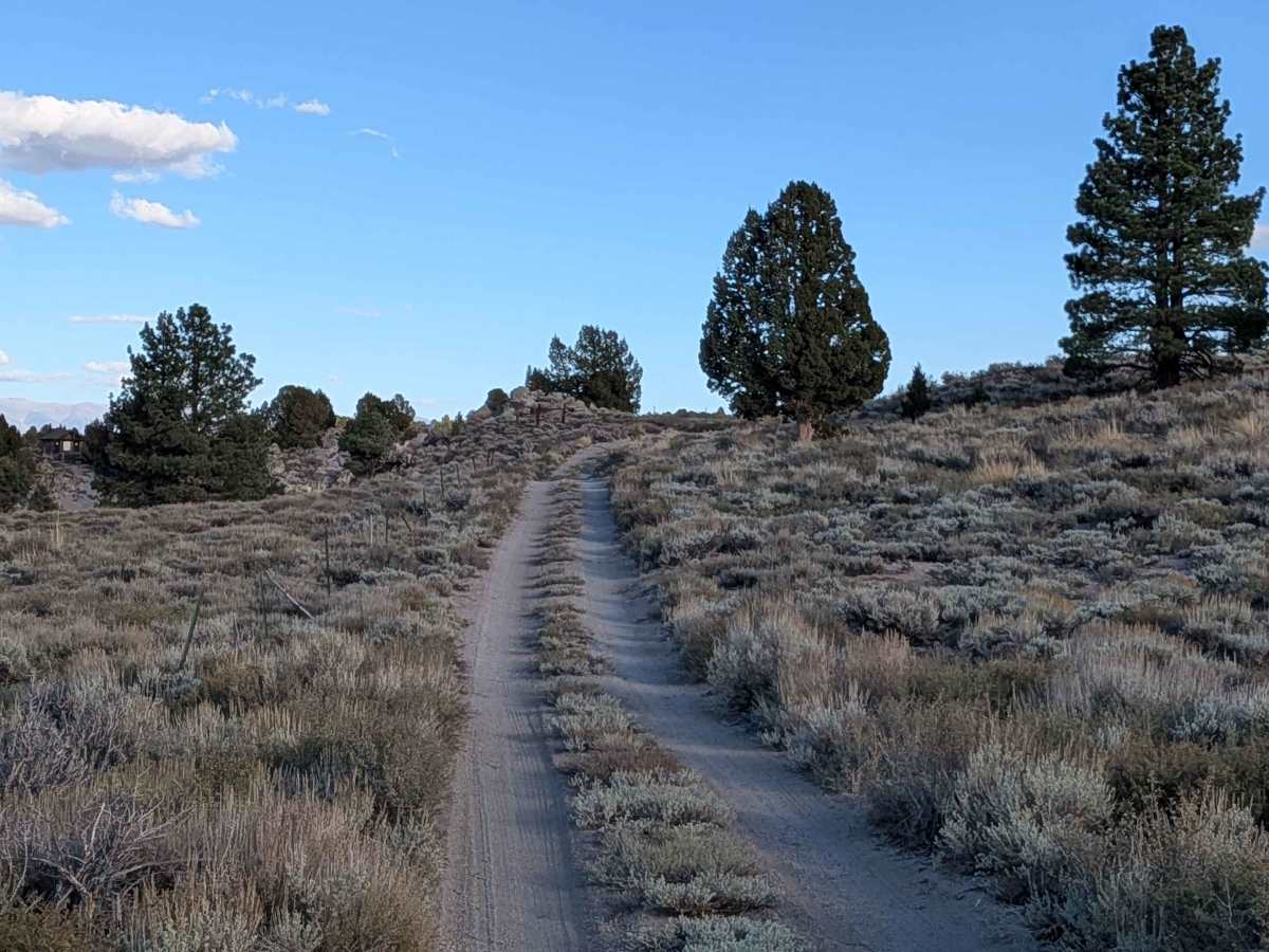
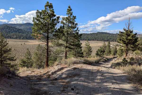
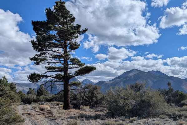
The trail winds through open meadows lined with sage and scattered brush, offering expansive views of the Eastern Sierras, White Mountains, and Glass Mountains. The median has some overgrowth, adding a natural challenge for vehicles with lower clearance. Wildlife is present in the area, and the trail passes along a fence line. Several small spur trails branch off along the route, inviting exploration. The overall experience is peaceful, scenic, and showcases the unique desert-meadow transition.
Difficulty
This trail is one vehicle wide with a median of overgrown brush that can be difficult for low-clearance vehicles. There are a few small ruts under 12 inches and a couple of steep hills. Certain sections require careful maneuvering to avoid contact with brush and other vegetation. The trail includes some rocky areas and minor bumps that add technical interest.
History
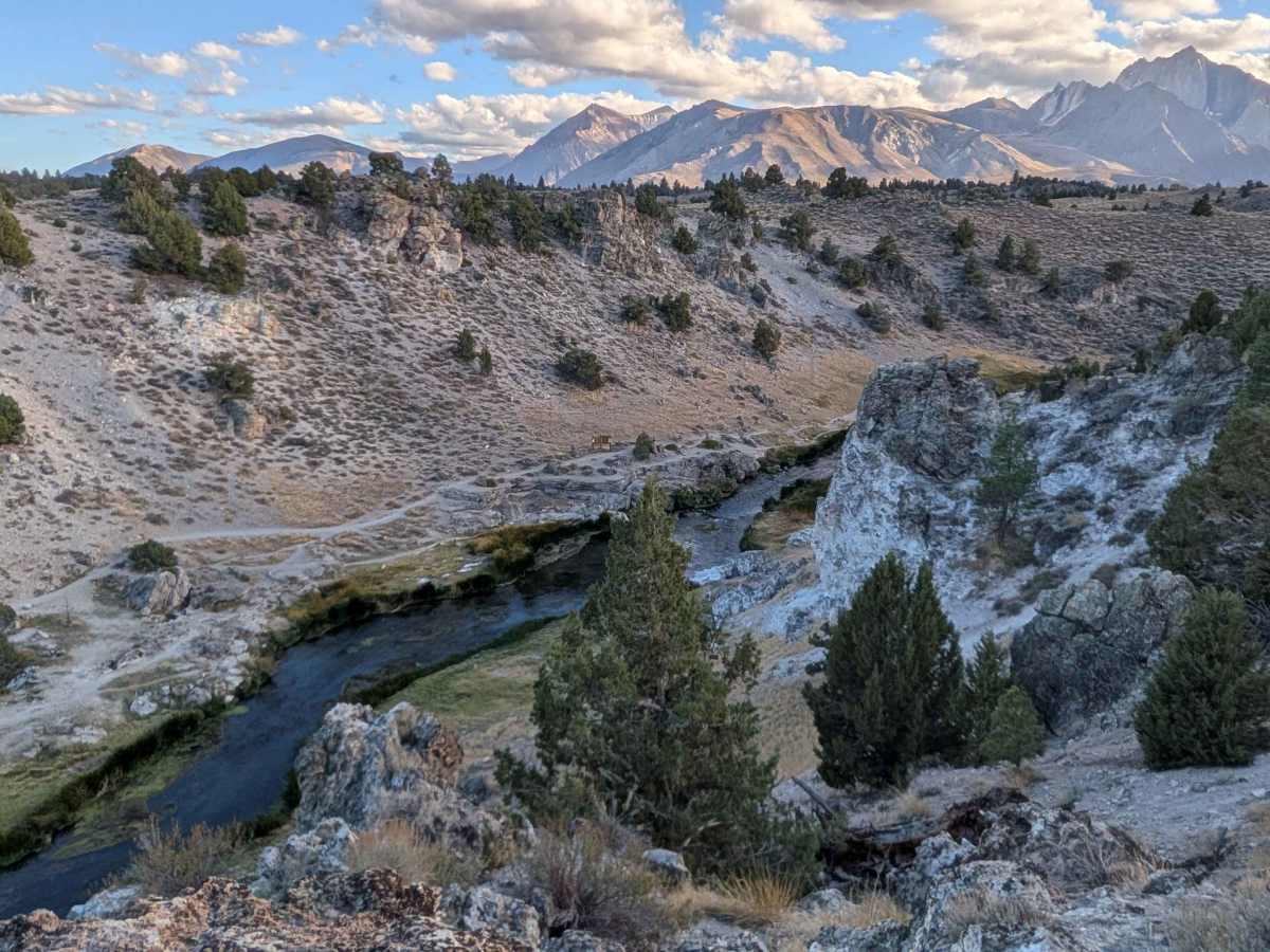
Hot Creek's history is rooted in volcanic and geologic activity, particularly the massive Long Valley Caldera eruption 760,000 years ago, which created the dramatic landscape. This activity continues today, with subsurface magma heating underground water that rises to create the hot springs and geysers in the Hot Creek Gorge. The area was historically home to the Kootzaduka'a people and was developed as a trout hatchery site in the mid-20th century, serving as an important hub for fish stocking in the region