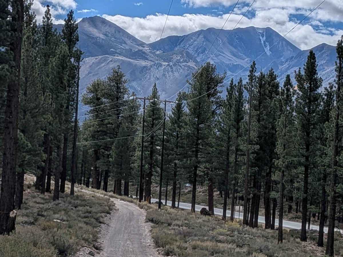
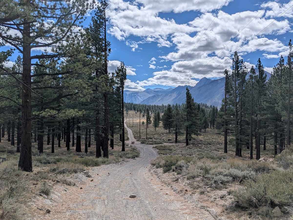
Trail Overview
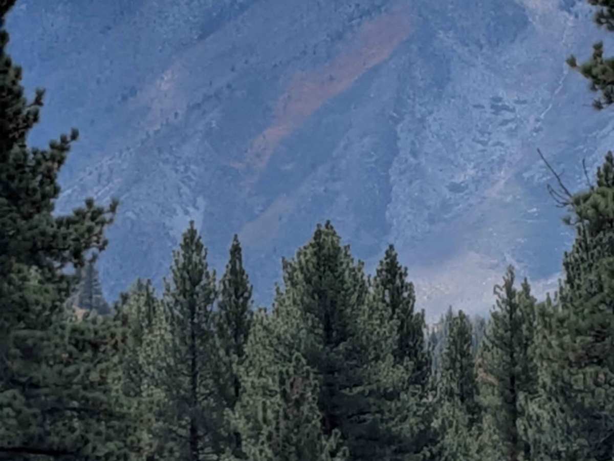
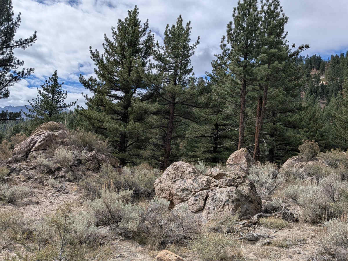
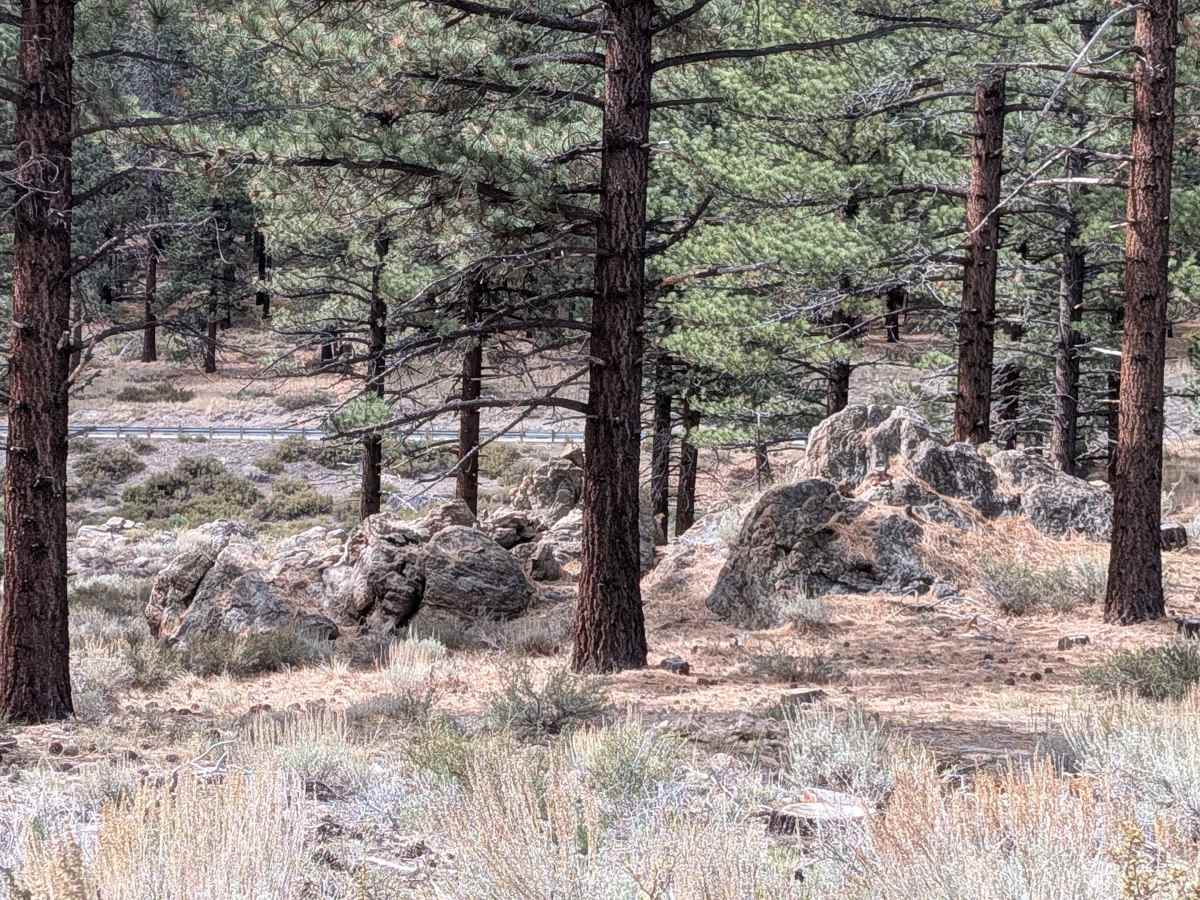
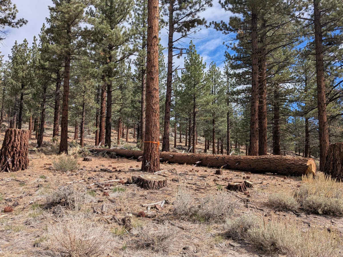
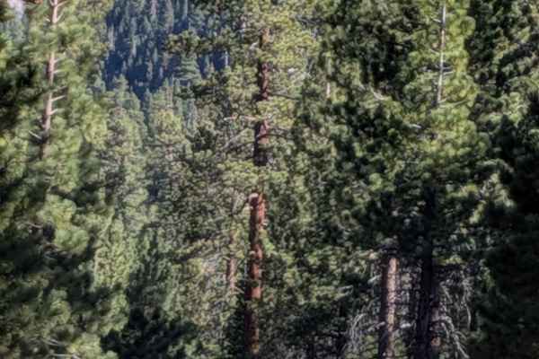
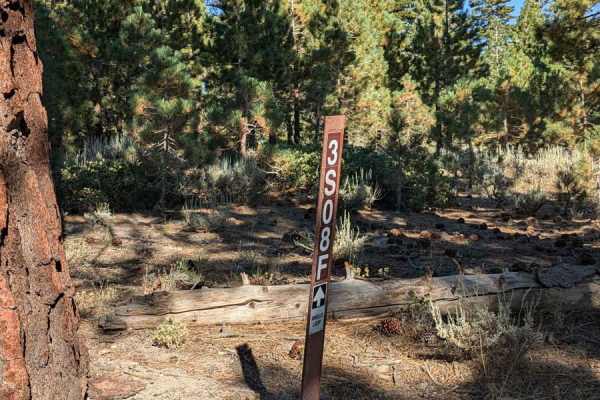
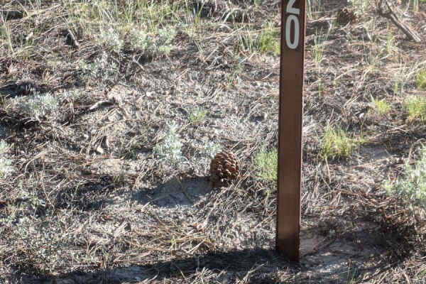
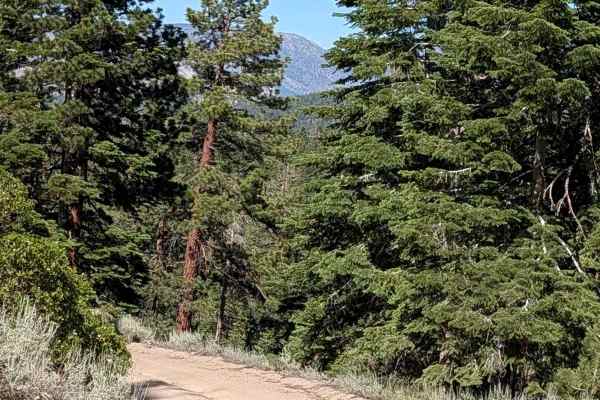
This trail can be accessed from Antelope Springs Road West or Sand Flat FS3S38 and runs parallel to Highway 395, climbing over 250 feet in just over 2 miles. One spur trail provides direct access to Highway 395, maintaining connectivity with the main corridor. The route follows a power line corridor and runs alongside a meadow surrounded by pine forest, with sagebrush and other bushes dominating the immediate trailside vegetation. The trail surface consists of sand and pumice, creating a very dusty driving experience. The trail is seasonally graded and maintains a width of 1.5 vehicles, requiring awareness when meeting oncoming traffic. Heavy side-by-side traffic has created ruts and whoops throughout the route that affect ride quality and require speed management for comfort and control. Right from the start, signs of recent forest fire are visible in the surrounding landscape, adding context to the current vegetation patterns. Coming from the north at mile 1.2, rocks begin appearing on the trail surface and conditions become slightly rougher, marking a transition in surface character. Various spur trails branch off throughout the route, offering opportunities to explore and find dispersed camping locations in the surrounding forest and meadow areas. The trail delivers outstanding views of the Eastern Sierra mountains, including the Sherwins, Mount Morrison, and Mini Morrison. Bloody Couloir is visible along with the Laurel Lakes area, where aspens pop out in brilliant yellow and orange during fall season, creating spectacular seasonal color displays against the dramatic mountain backdrop. Visitors should be aware of seasonal fire restrictions that may affect access or camping activities in the area.
Difficulty
This trail has a moderate difficulty rating (2) based on the seasonally graded surface, 1.5-vehicle width requiring passing coordination, sand and pumice composition creating dusty loose conditions, ruts and whoops, and rocks appearing after mile 1.2 that slightly increase surface roughness. The primary challenges include managing the dusty sandy surface with reduced visibility, handling ruts and whoops comfortably, coordinating passing on the narrow width, and adjusting to rougher rocky sections, though the overall graded maintenance and modest elevation gain keep technical demands manageable.