Trail Overview
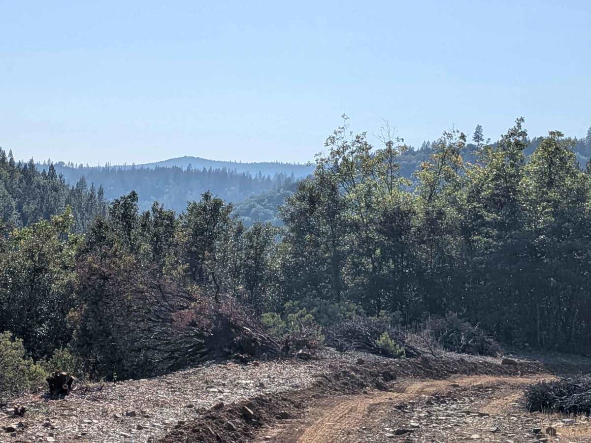
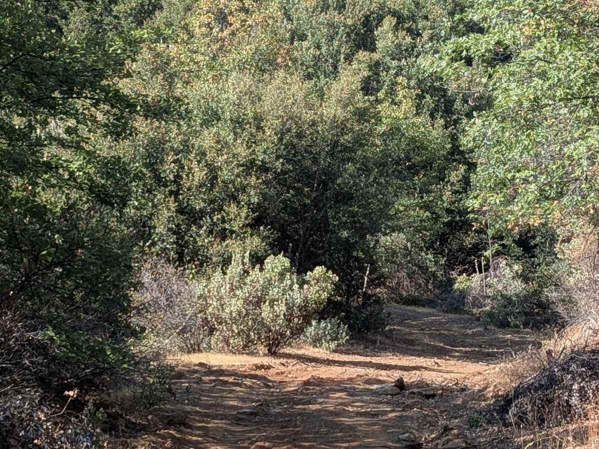
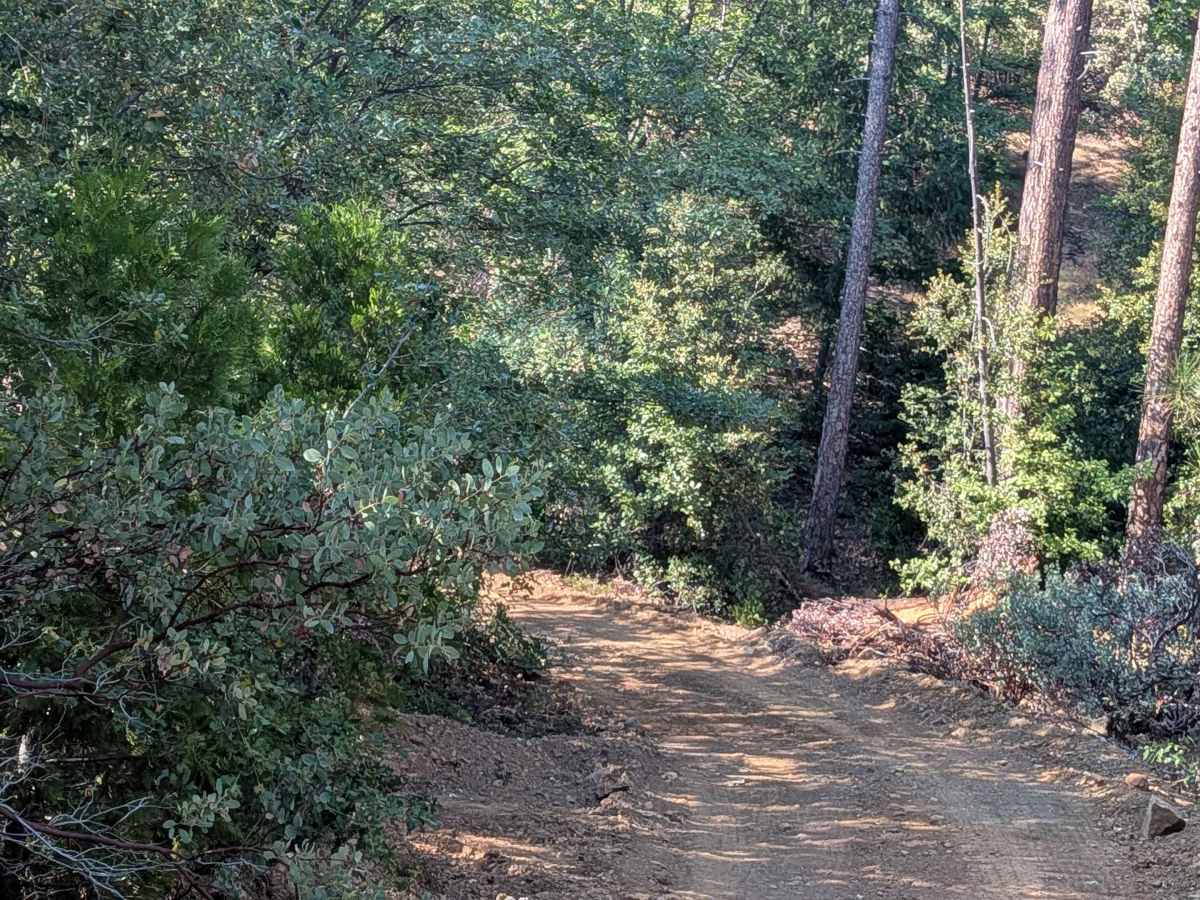
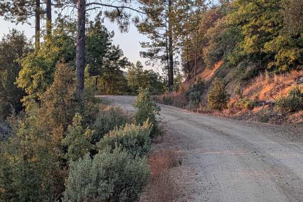
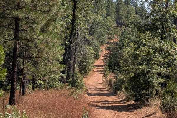
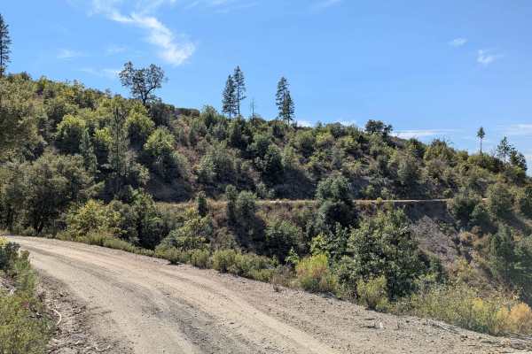
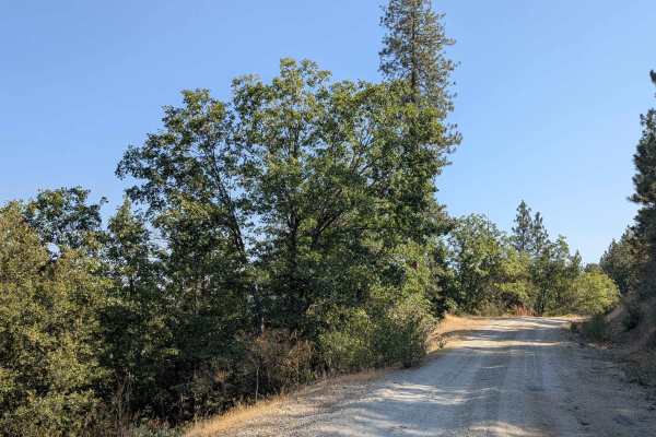
This trail starts and stops on Buck Meadows Road, creating a point-to-point route that climbs almost 800 feet and drops just under 600 feet over just under 4 miles of challenging terrain. From the south entrance, the trail features hard-packed sand and dirt that has been recently graded, though the surface remains uneven with numerous bumps and slightly off-camber sections that create a consistently bumpy ride throughout the journey. The route quickly climbs out of the canyon, gaining elevation rapidly in the initial sections. Evidence of recent trail maintenance is visible with numerous old trees and bushes that have been cut to widen the trail, though the route remains just wider than one vehicle wide and is lined with thick forest on both sides. Sand can become deeper in certain spots, requiring attention to momentum and traction, while quite a few overgrown branches still remain despite clearing efforts. The thick forest environment creates an enclosed driving experience with natural tunnels and limited visibility ahead. At the time of mapping, active trail cleanup was in progress, including grading operations and removal of excessive overgrowth, branches, and bushes. However, the first half mile from the northern entrance remains problematic with deep ruts that have not yet been addressed by the maintenance efforts, creating a stark contrast between the improved southern sections and the challenging northern approach.
Difficulty
This trail receives a difficulty rating of 3, indicating moderate to challenging conditions that require 4x4 and high clearance vehicles. The combination of uneven surfaces, off-camber sections, deeper sand spots, and remaining ruts demands intermediate off-road driving skills and properly equipped vehicles.