FS 28N56

Total Miles0.9
Technical Rating
1Easy
Best TimeSpring, Summer, Fall
Trail TypeFull-Width Road
Accessible By
Open Trail Map

Trail Overview

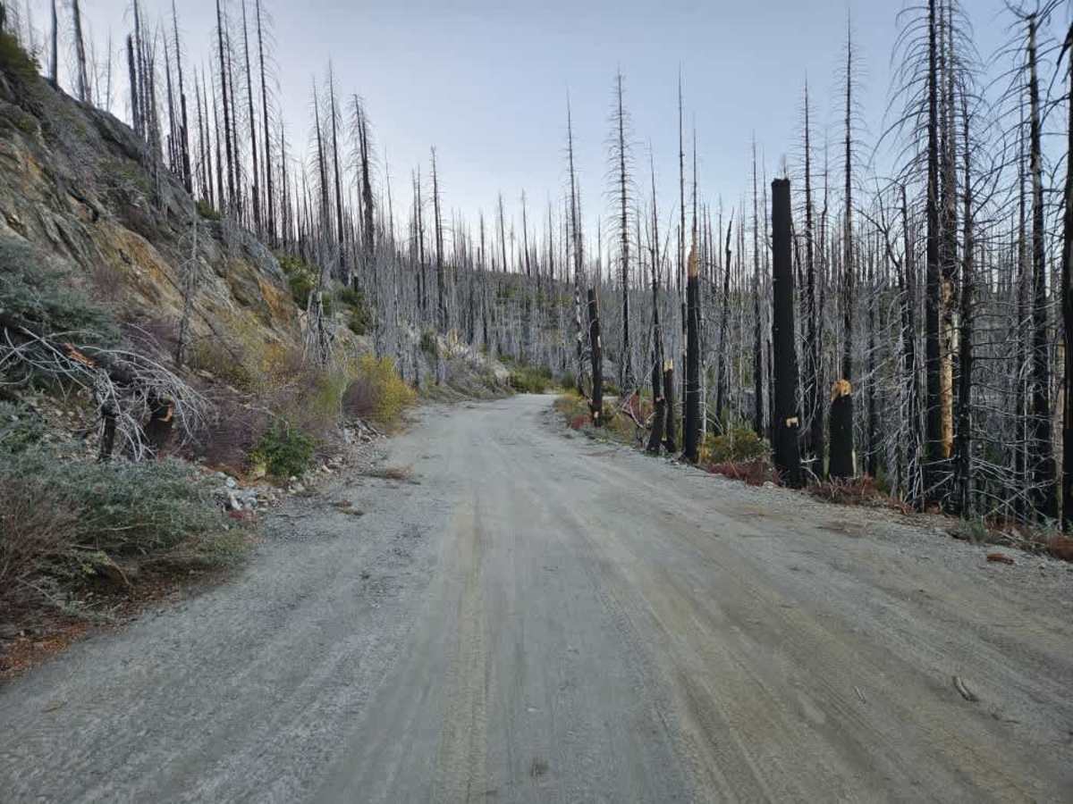
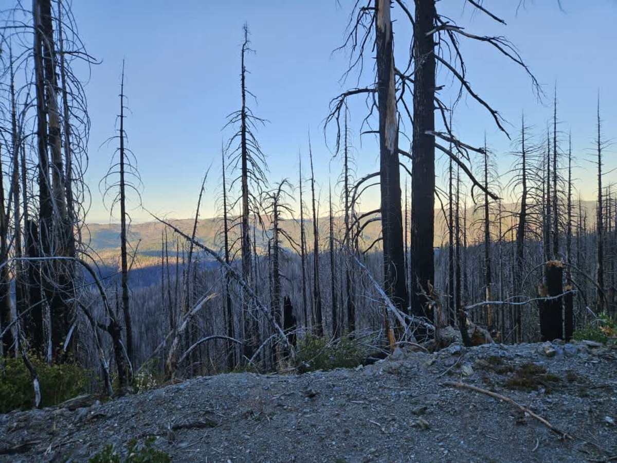
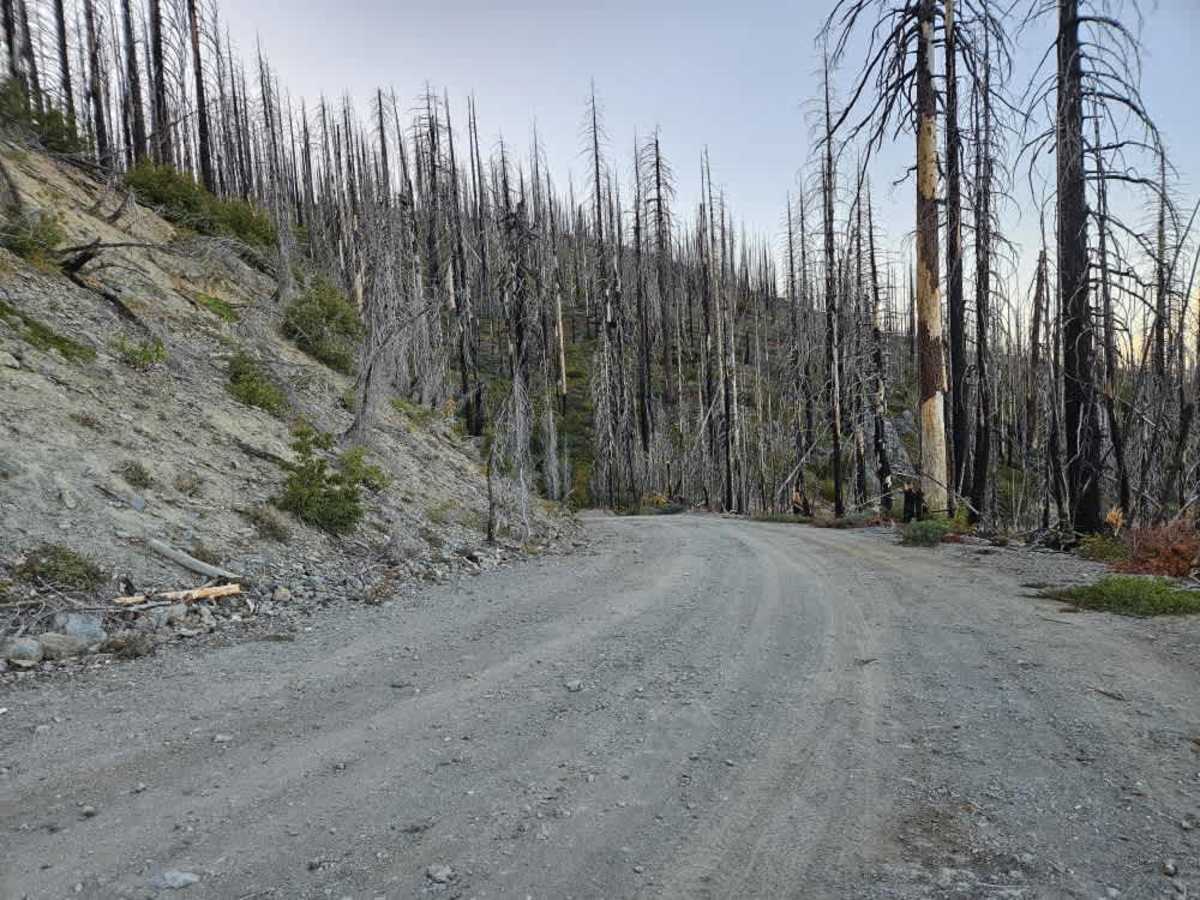
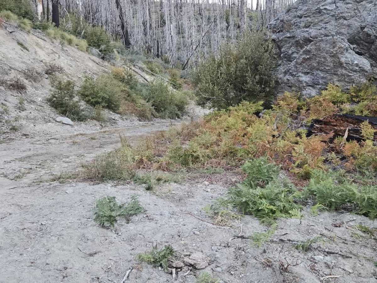
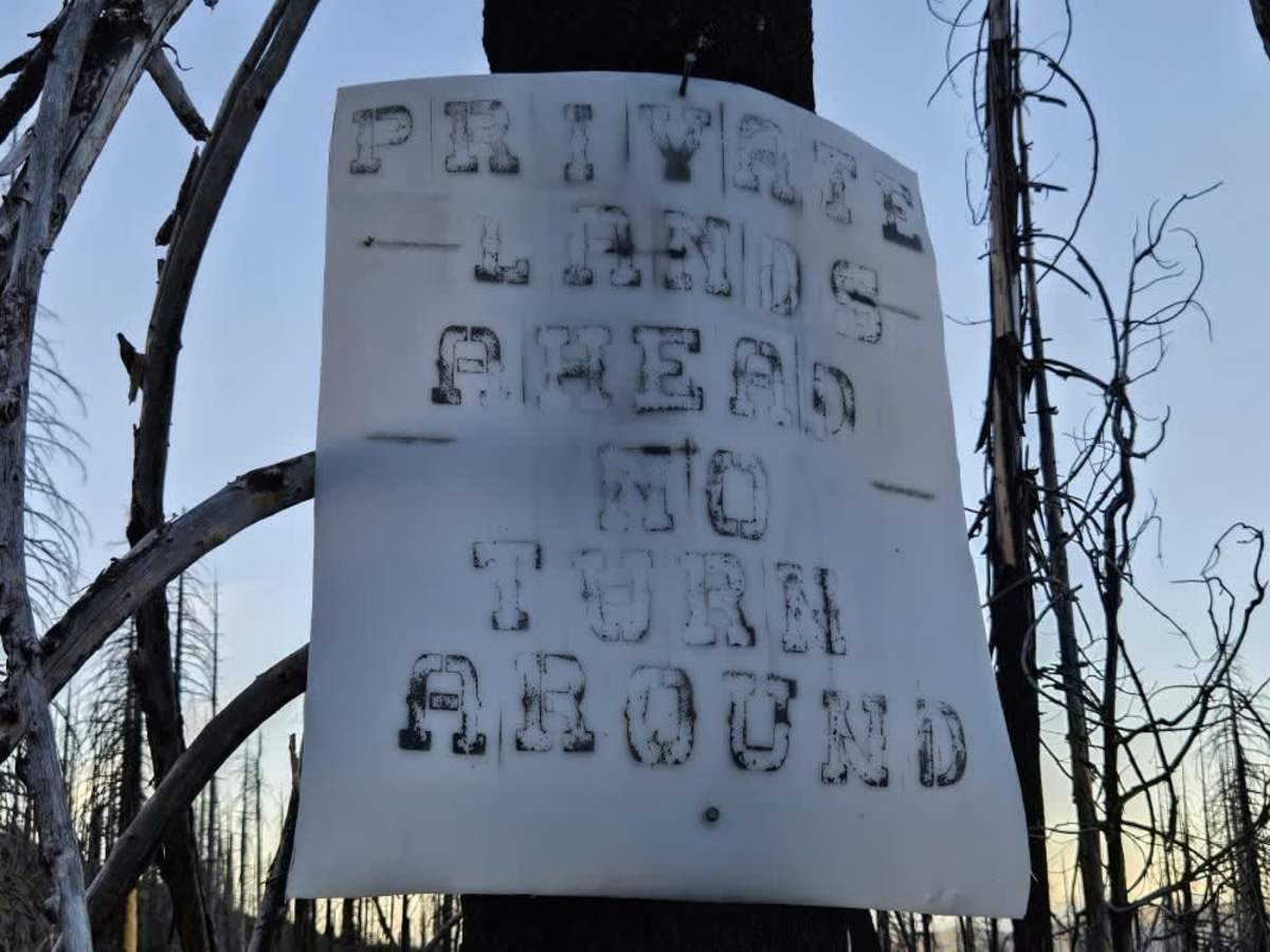
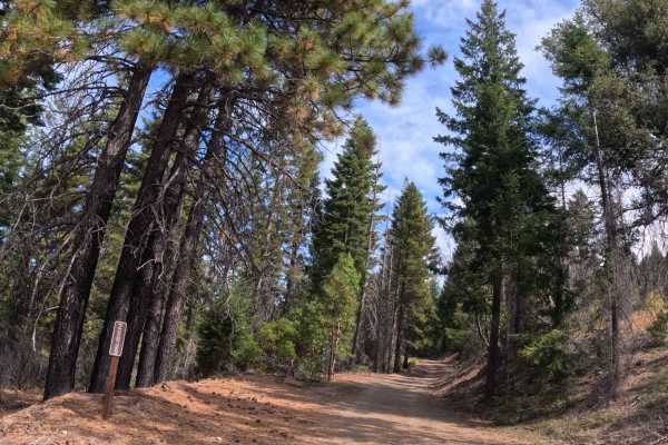
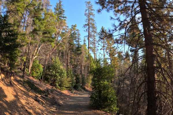
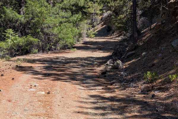
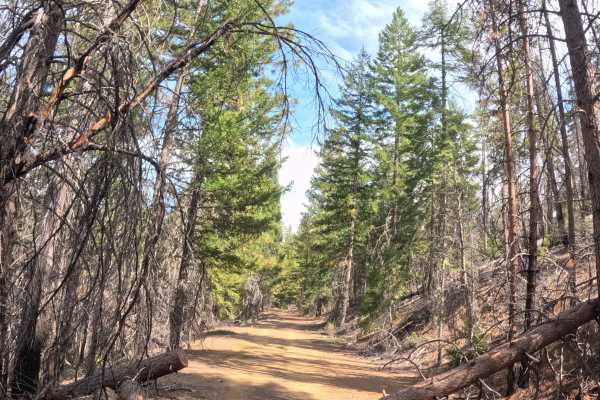
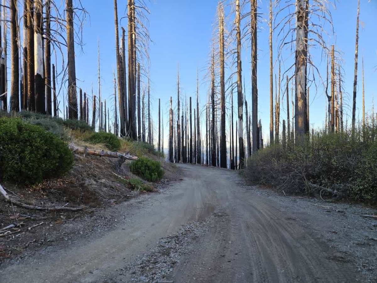
This trail descends from Horse Ridge through a severely burned section of forest toward private property. The route is wide, well-maintained, and surfaced with mostly smooth gray gravel, though a few wet areas have collected water, so use caution. The trail winds steadily downhill and appears to be used by hunters. Near the end, a sign warns of private lands ahead and states that there is no turnaround. Shortly beyond this sign, the trail becomes much narrower, with another sign clearly marked “No Trespassing.” A turnaround is available in this area, providing a place to turn around before reaching the private property boundary. Do not continue beyond the posted restrictions. There are no facilities or cell phone reception along the trail. ATVs, UTVs, Side-by-Sides, and Dirt Bikes must always have a valid California ATV Operating Permit sticker.

Photos of FS 28N56

Difficulty

The smooth gravel surface makes this an easy trail, with a few wet areas requiring attention.

Technical Rating

1

FS 28N56 Trail can be accessed by the following ride types:

  • Single Track
  • 50 Inch
  • 60 Inch
  • High Clearance
  • Full Width

FS 28N56 Map

The onX Offroad Difference

onX Offroad combines trail photos, descriptions, difficulty ratings, width restrictions, seasonality, and more in a user-friendly interface. Available on all devices, with offline access and full compatibility with CarPlay and Android Auto. Discover what you're missing today!

Open Trail Map