Trail Overview
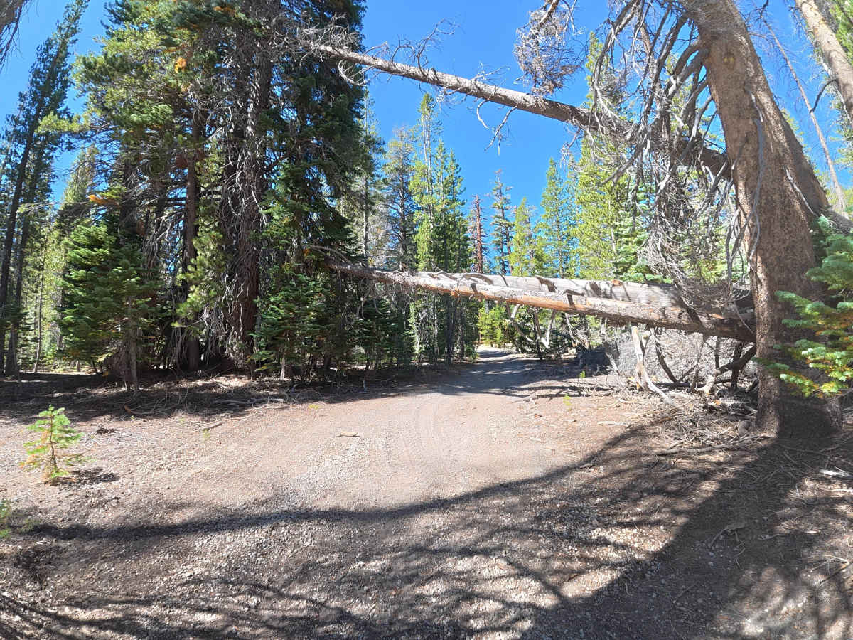
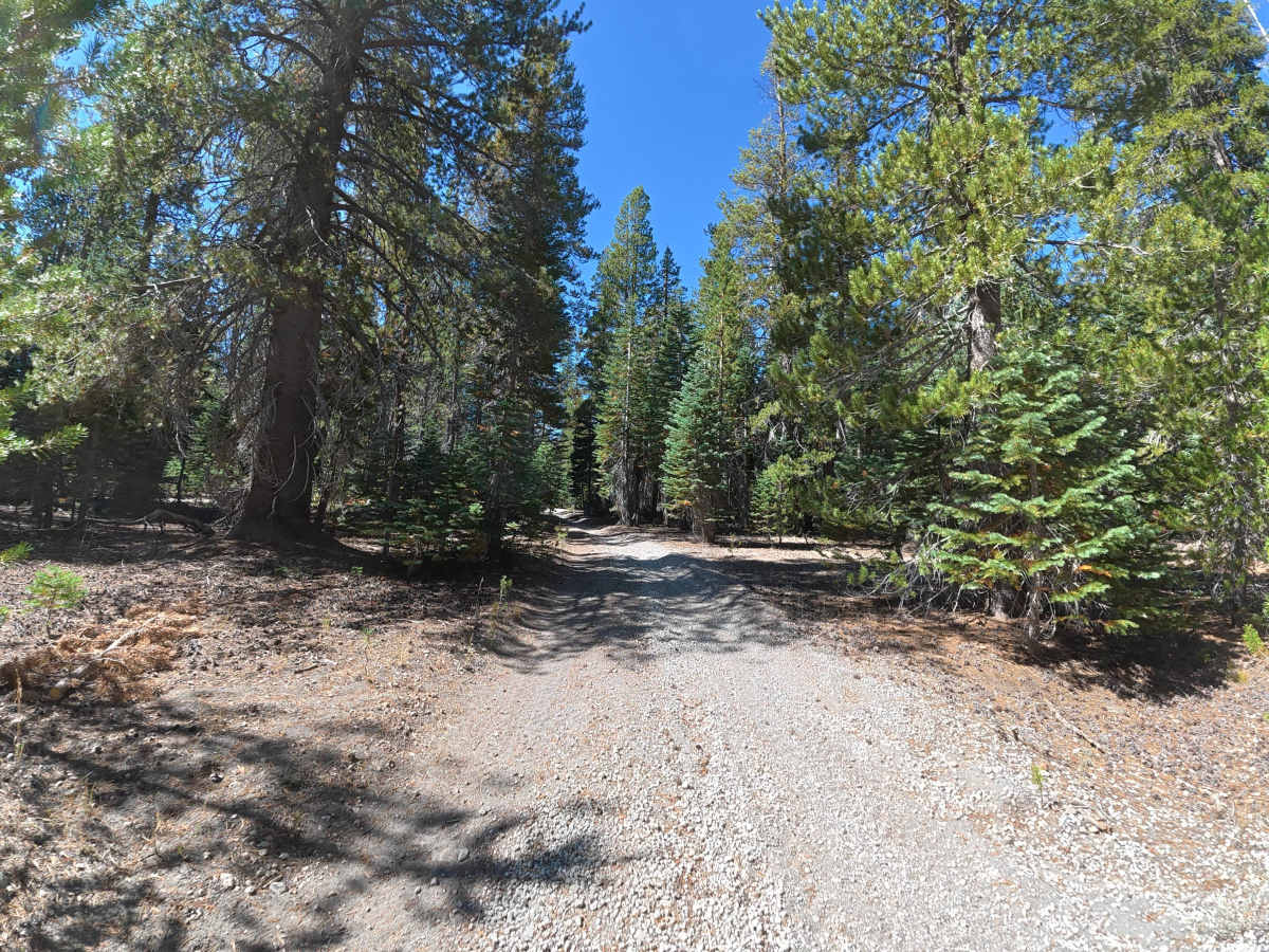
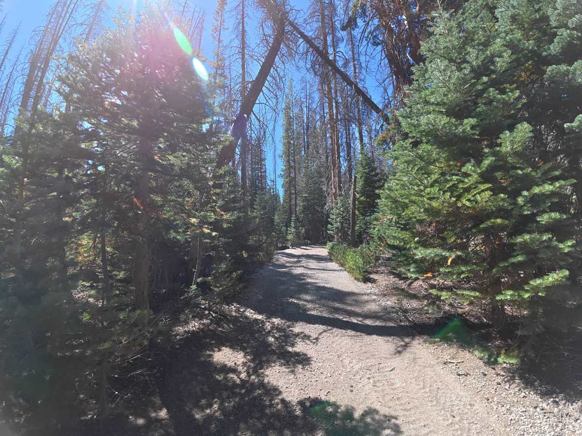
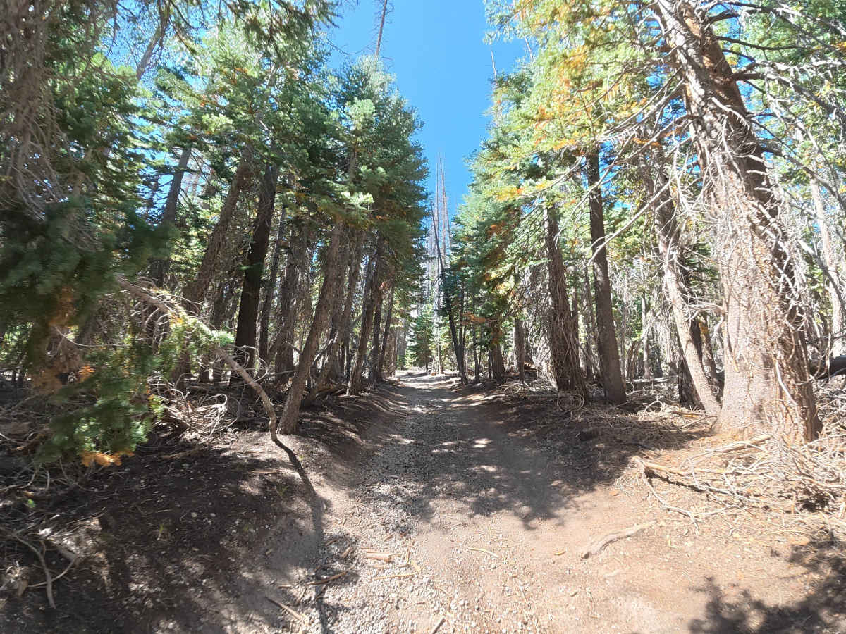
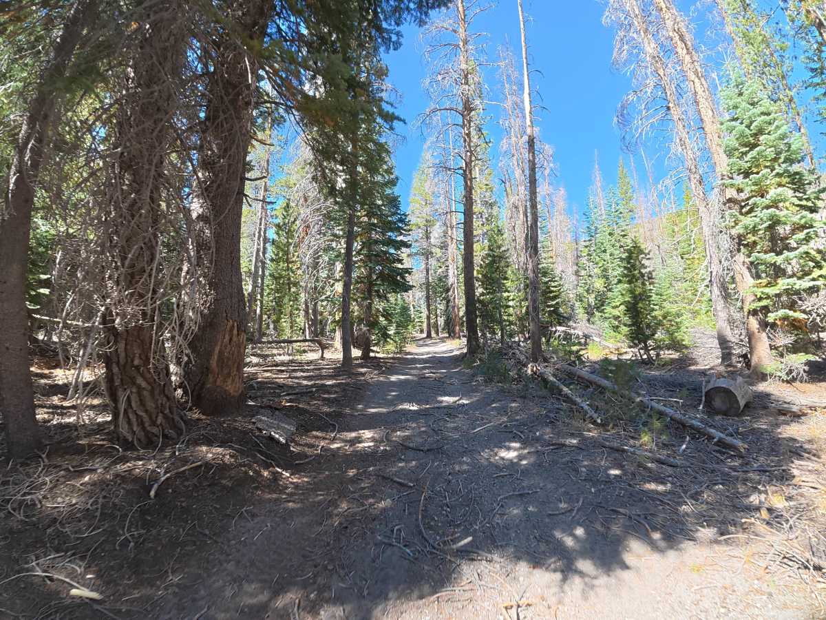
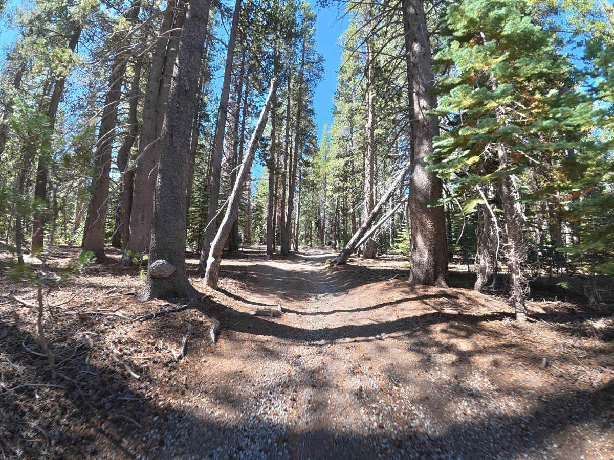
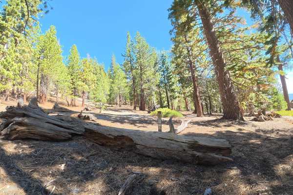
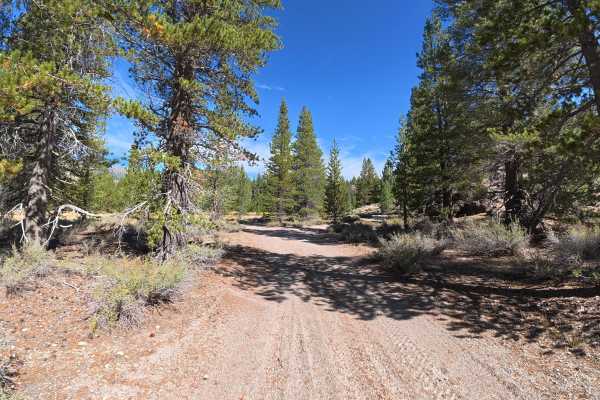
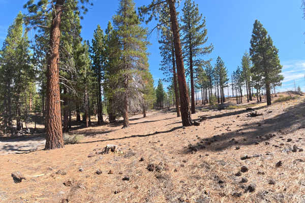
This narrow, fine-dirt trail climbs over the hillside through rock gardens with 5–8 inch rocks and 6–8 inch ruts. Fallen trees and heavy vegetation require careful maneuvering, with pinstriping highly likely. Around 0.3 miles, a level, shaded campsite accommodates up to two vehicles and has a large fire ring. Farther up the climb, switchbacks reach 15° off-camber with 12–14-inch rocks and ledges. Around 0.9 miles, the route becomes very narrow and cliffside, combining exposure with the off-camber terrain. At the end, a large cliffside camping area accommodates up to 14 vehicles with plenty of shade.
Difficulty
This trail is rated Level 3 because of the 12–14-inch rocks and ledges, 15° off-camber switchbacks, 6–8-inch ruts, cliffside exposure, and narrow terrain. At least 12 inches of front-end clearance is required, with 4WD or AWD highly recommended. This trail is not van- or trailer-friendly.
History
Inyo National Forest was established in 1907 and today protects a vast section of the Eastern Sierra surrounding Mammoth Lakes. The area has a long history of Native American use, mining, ranching, and recreation, while its dramatic landscape was shaped by volcanic activity, glaciers, and the uplift of the Sierra Nevada.

 Offroad