Trail Overview
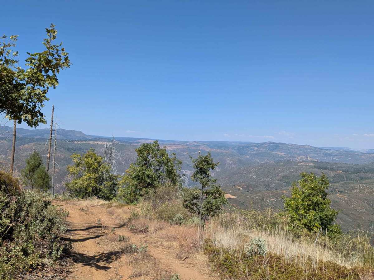
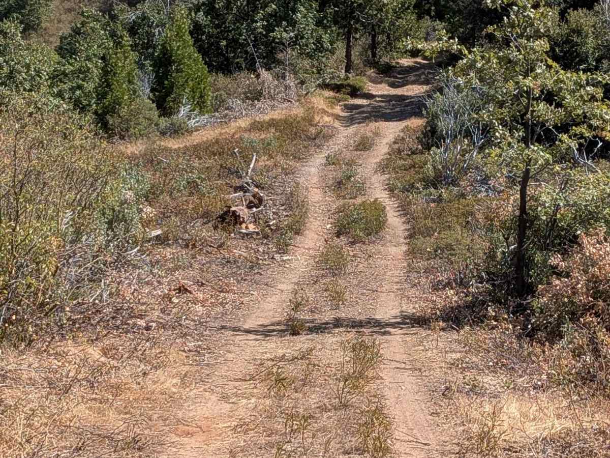
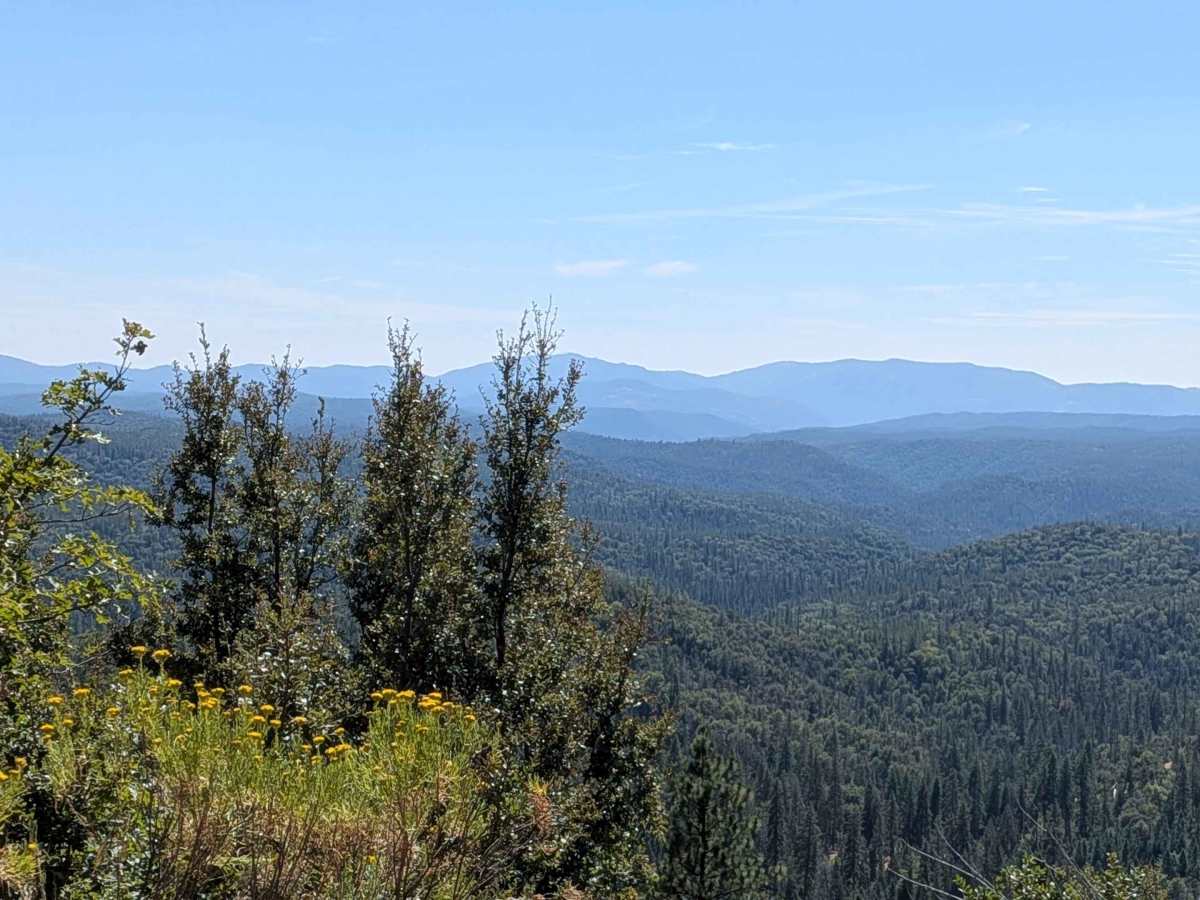
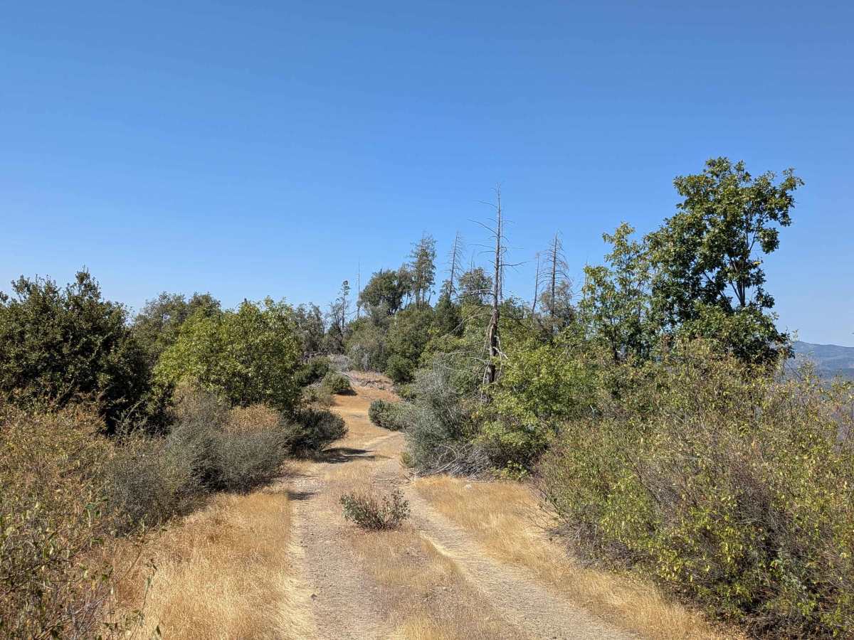
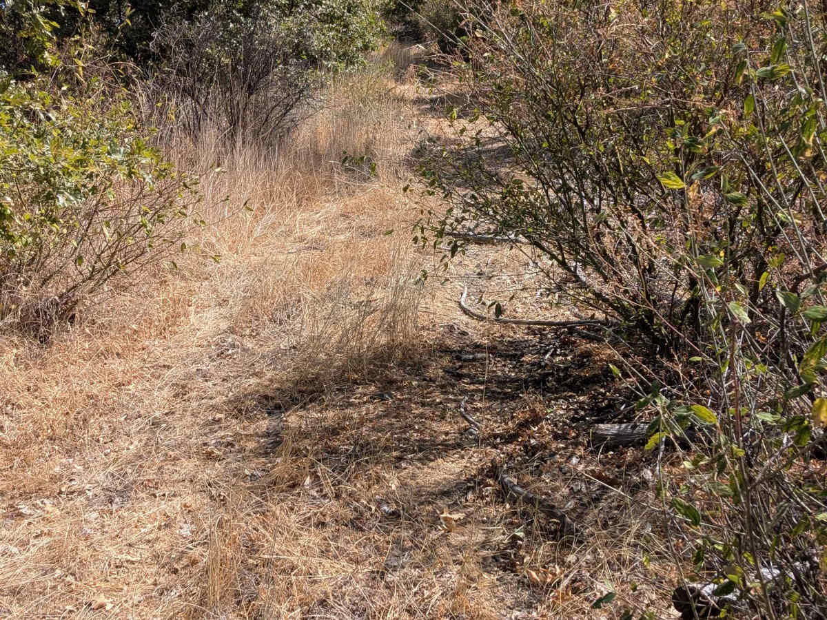
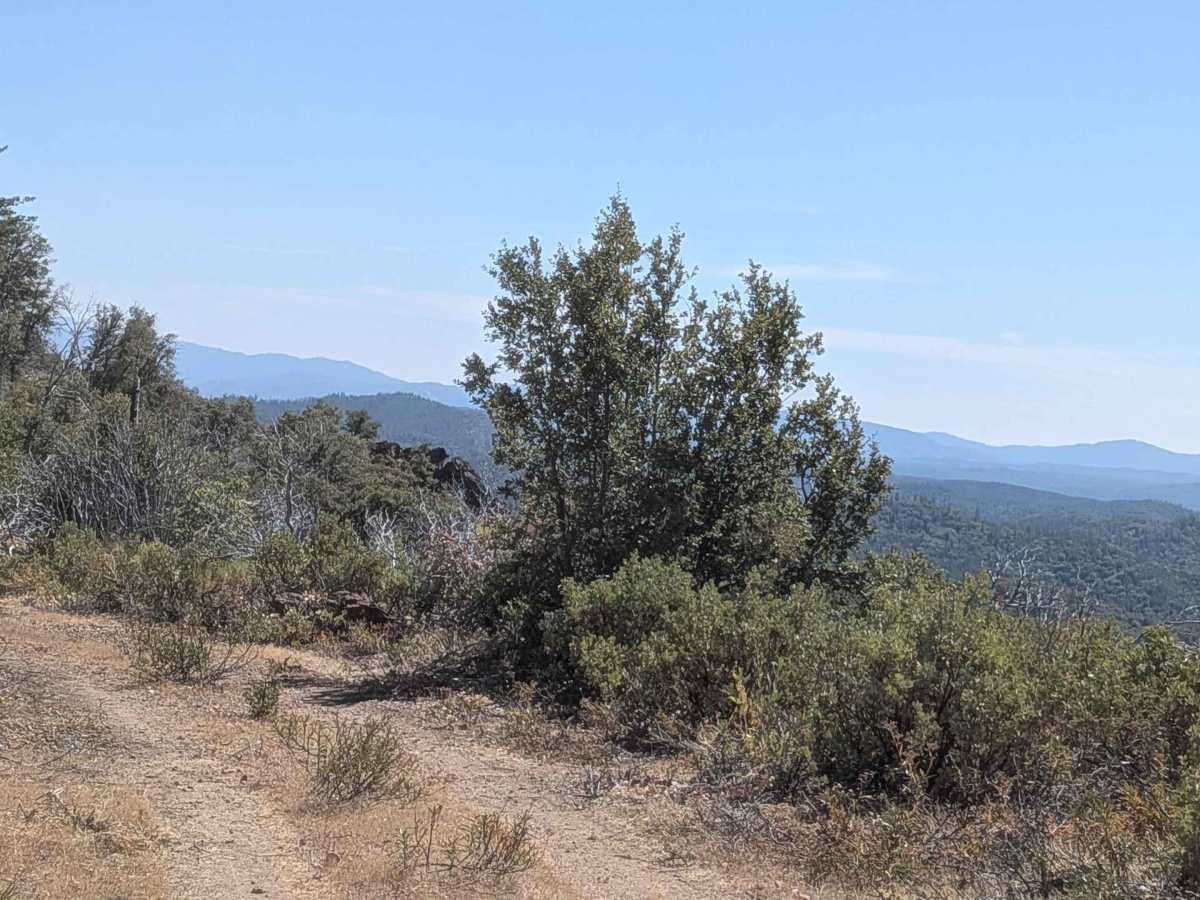
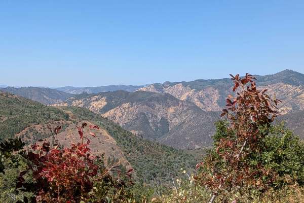
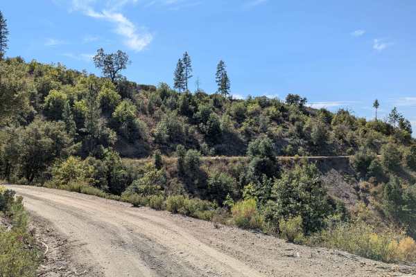
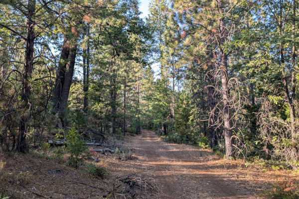
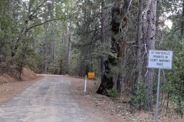
This trail climbs almost 1,100 feet and drops 150 feet in just under 3 miles, starting and ending on Forest Service Road 1S66 as a 5-mile out-and-back trail. The distinctive red sand and clay surface immediately begins climbing while providing views of hills, valleys, forest, and mountains in the distance to the west. The route maintains one and a half vehicles in width while following a mild shelf road configuration that is slightly off-camber and notably void of trees due to a recent forest fire. After half a mile, the trail leaves the shelf road and enters a ridge line that provides views to the east before returning to a shelf road facing eastward, creating varied perspectives throughout the climb. As elevation increases, the brush becomes slightly overgrown and creates a hazardous situation where avoiding the vegetation draws vehicles dangerously close to the cliff edge, requiring careful balance between vegetation contact and safety. The trail becomes impassable at 1.8 miles, where bushes and trees are completely overgrown, blocking further vehicle progress, though motorcycles could potentially continue beyond this point. Only street-legal vehicles are permitted on this route, limiting access to appropriately registered and equipped vehicles.
Difficulty
This trail appears to have an easy difficulty rating based on the mild shelf road configuration and relatively manageable climbing grade. However, the slightly off-camber shelf road sections with cliff exposure, overgrown brush that forces vehicles toward cliff edges, red sand and clay surface potentially affecting traction, and the blocked terminus requiring turnaround create notable challenges that require careful navigation and awareness of the hazardous vegetation-versus-cliff-edge situation.