Trail Overview
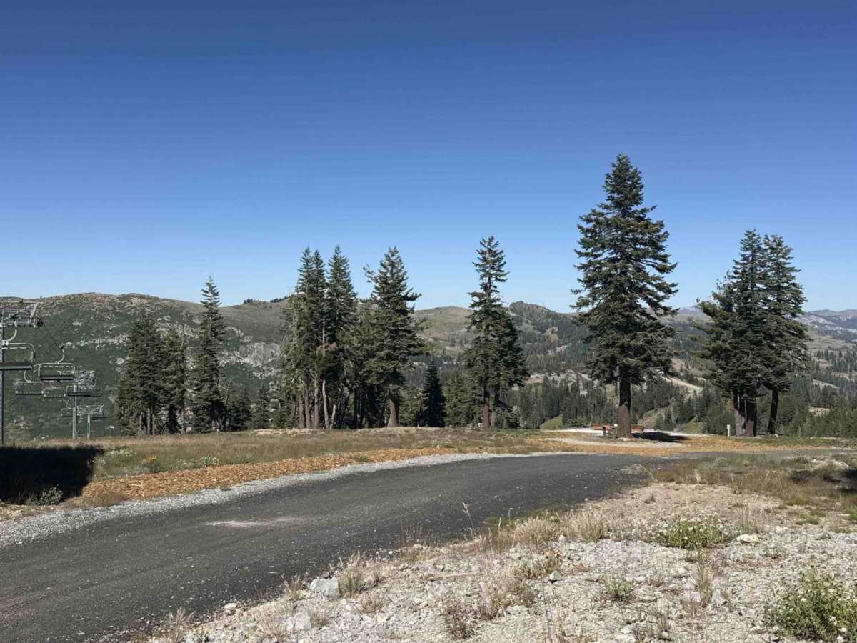
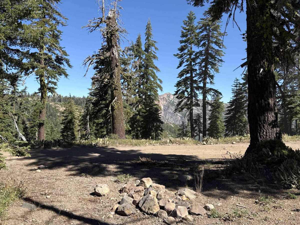
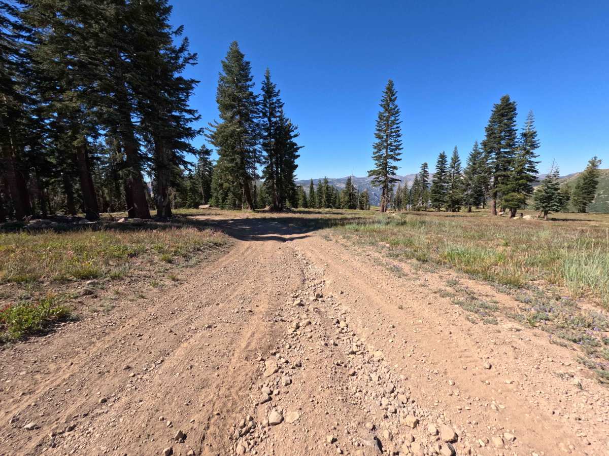
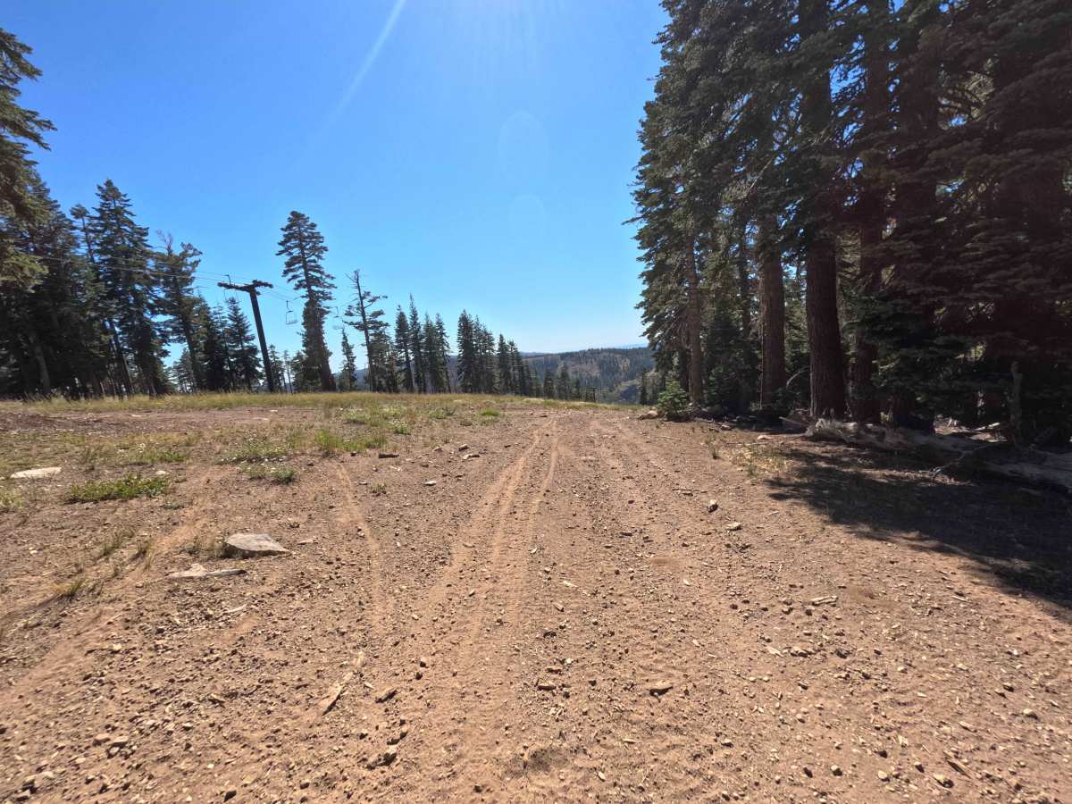
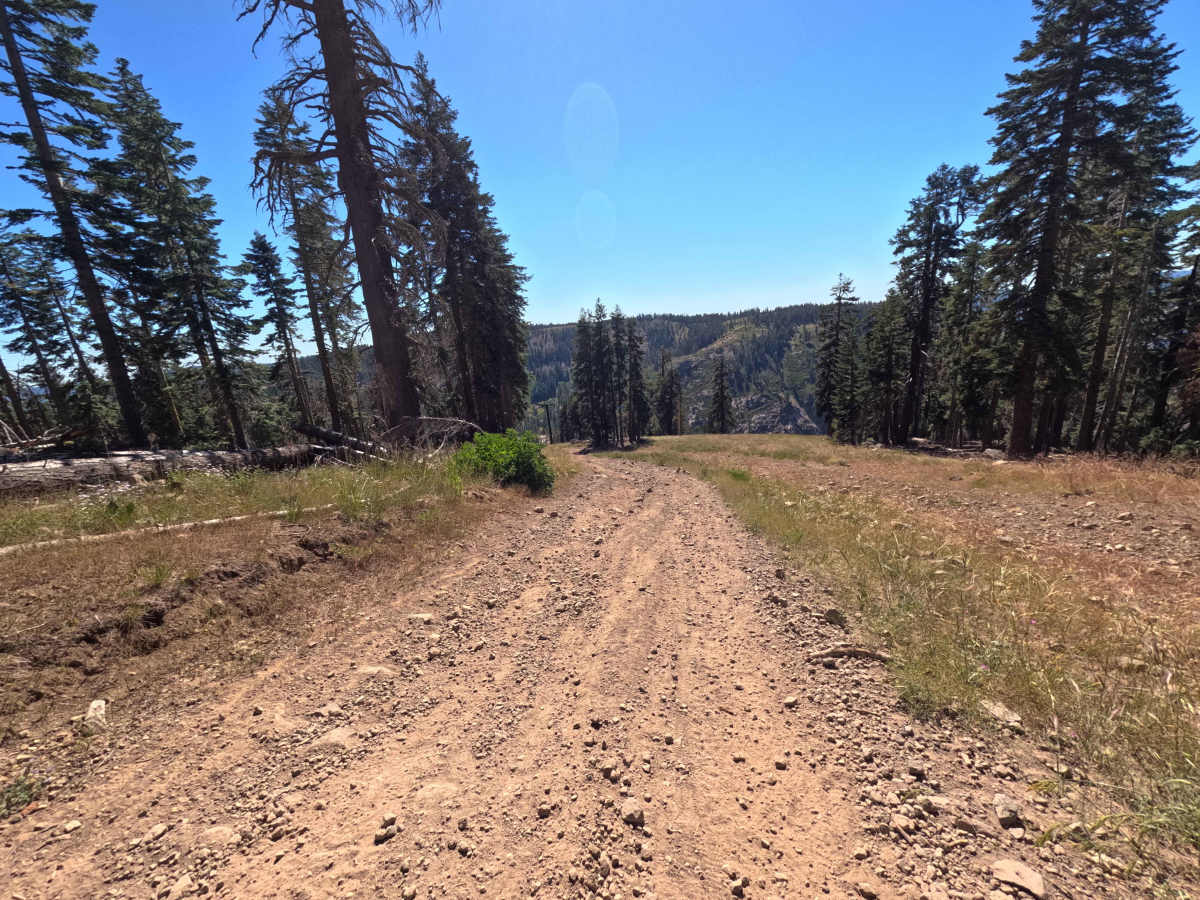
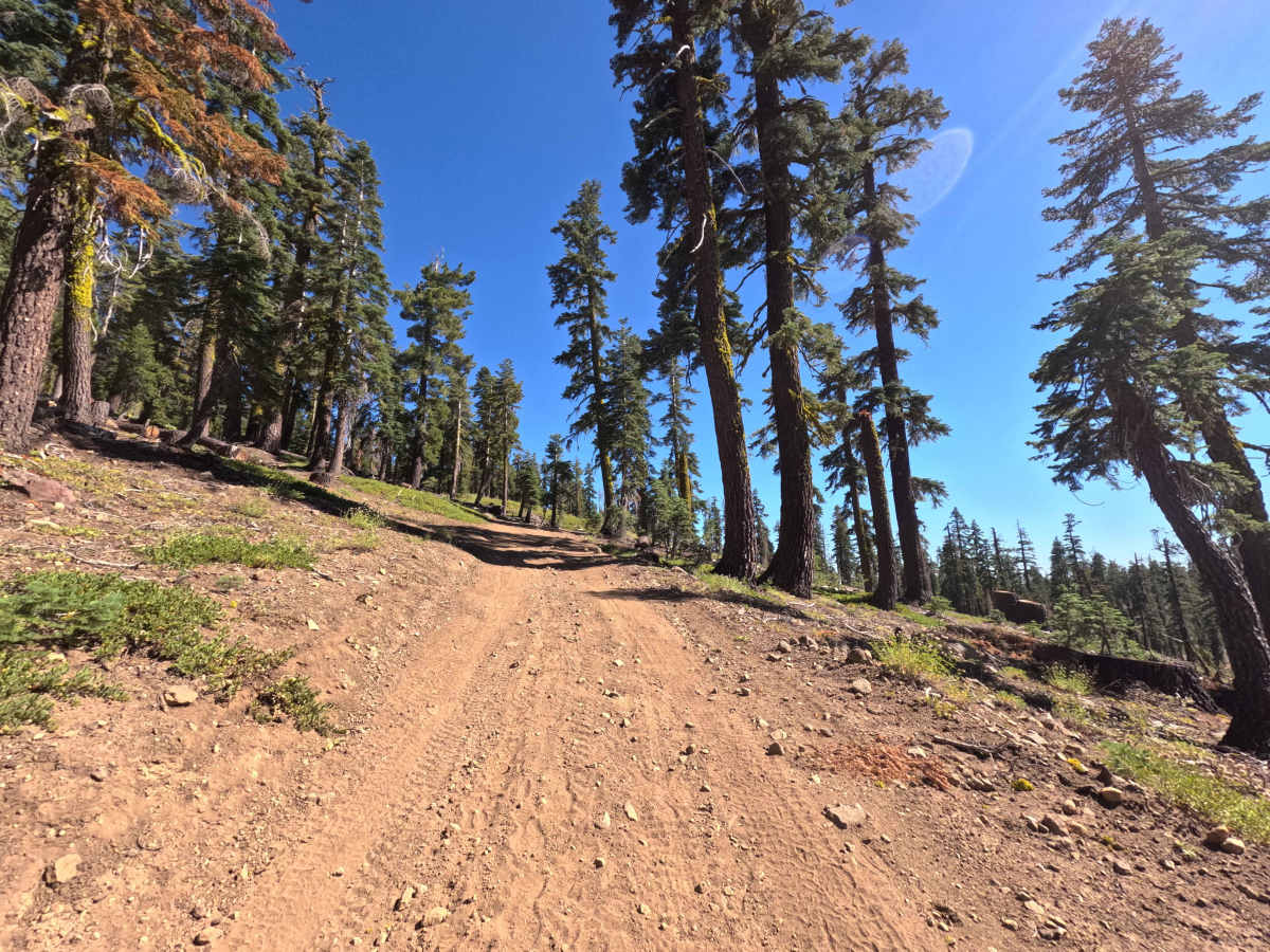
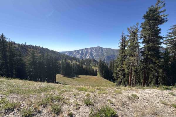
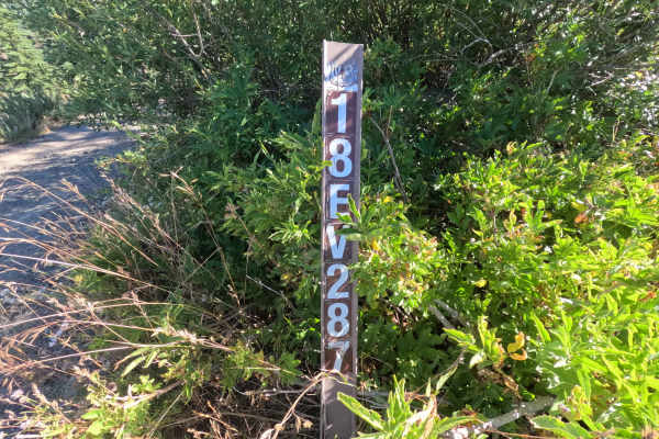
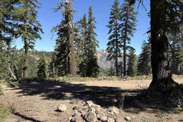
Connecting the high crest of Bear Top Mountain with the Corral Hollow OHV route, Forest Service Road 17EV279 is a scenic alpine connector traversing the elevated slopes of Stanislaus National Forest. This subalpine mountain corridor navigates the summer terrain of the Bear Valley ski area, winding past dormant lift towers, open wildflower fields, and stands of red fir and lodgepole pine. Outdoor travelers frequently drive this panoramic track for 360-degree mountain vistas, backcountry exploration, and seamless passage between high peaks and the surrounding off-road network. The single-lane road surface consists of firm native earth, loose rock scatter, and crushed gravel. Continuous grade variations define the entire drive, featuring steep descents and sustained climbs across open ski slopes where long-range views stretch over the Sierra Nevada landscape.
Difficulty
Rated a 3, this mountain trail introduces continuous steep grades across loose, uneven surfaces. Primary obstacles include loose gravel and rock scatter, minor drainage ruts, and shallow dips that require steady throttle control and attentive steering. Utilizing lower gearing aids in controlled braking on the descents, while ascending sections require smooth momentum to avoid wheel spin on loose dirt and shifting rock.