Trail Overview
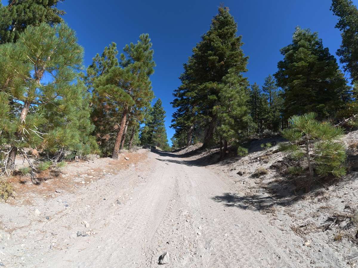
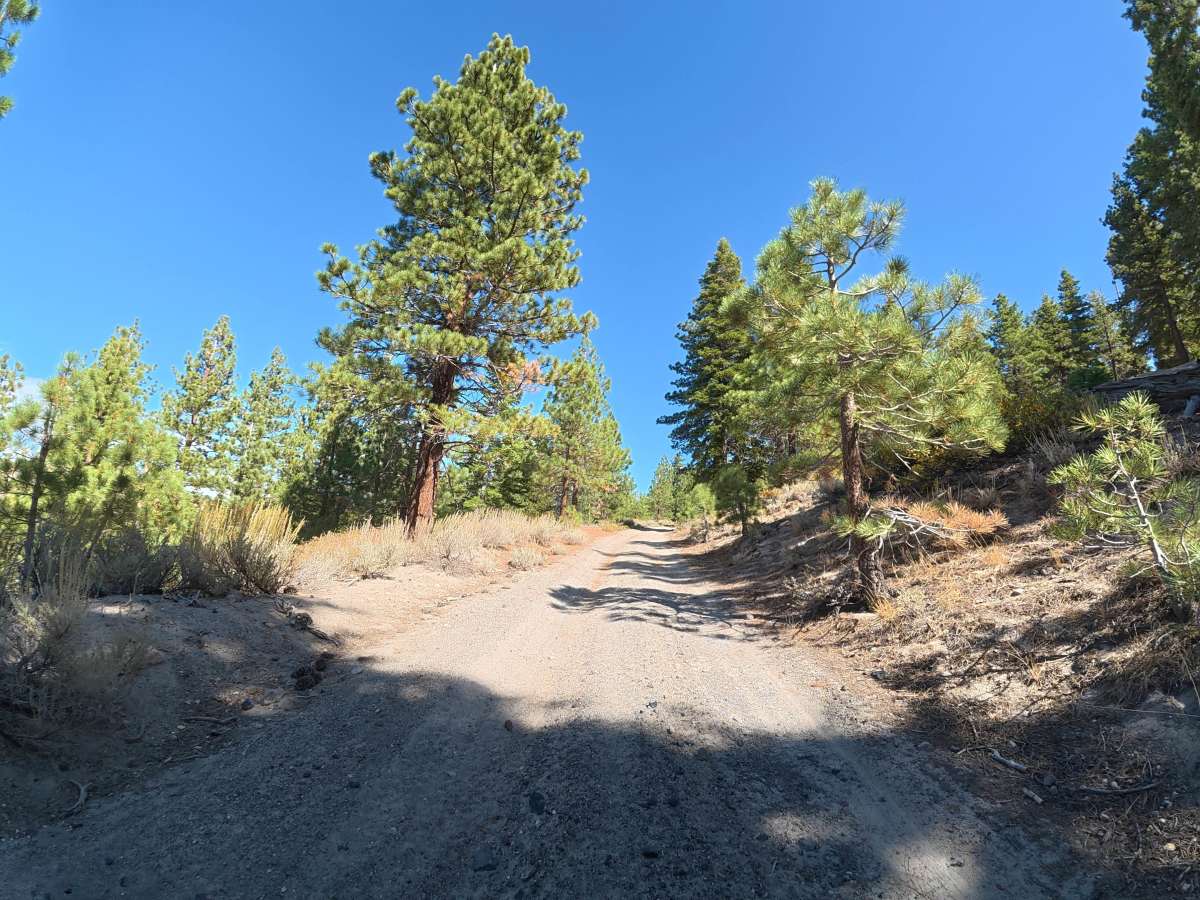
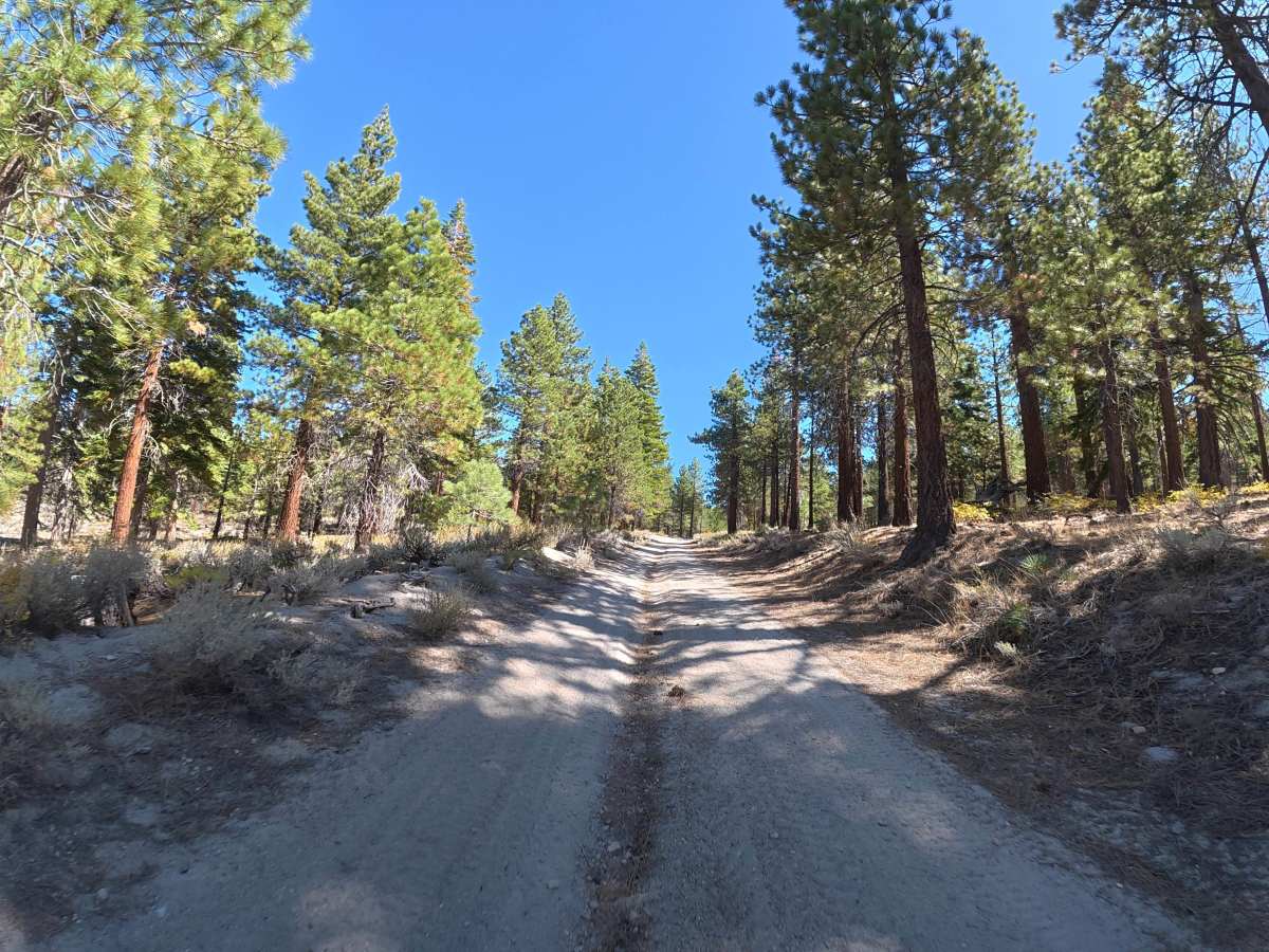
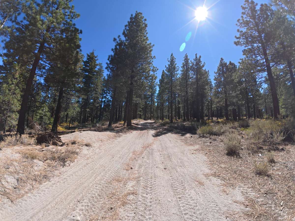
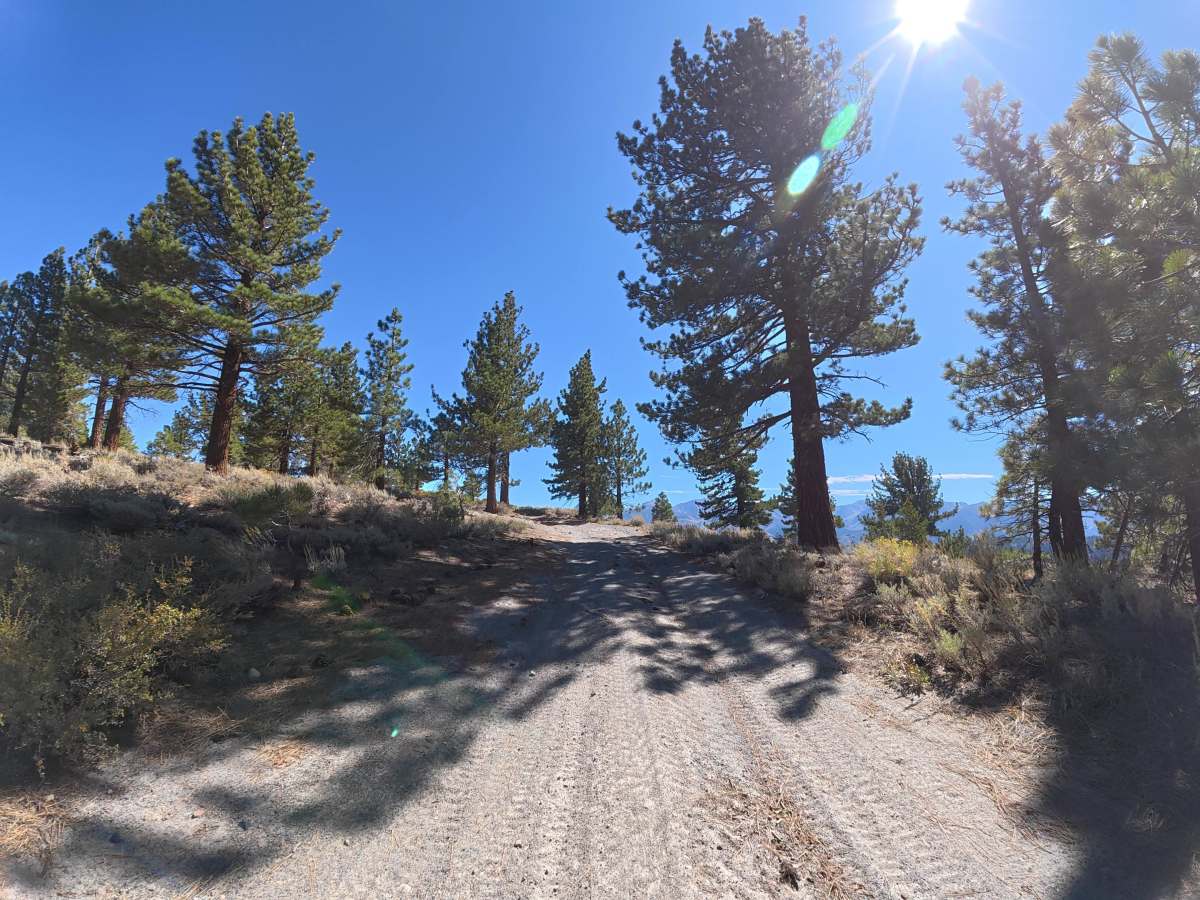
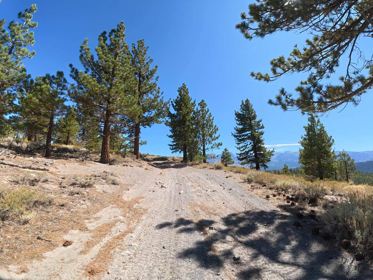
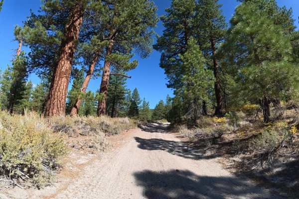
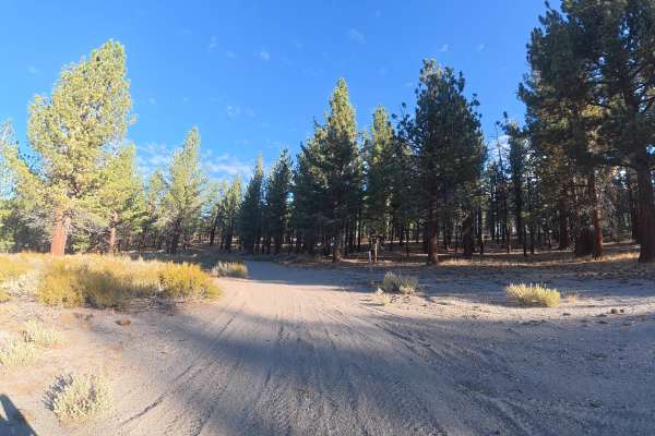
This fine, soft-dirt trail climbs steadily along the hillside with 6–8 inch ruts, sections reaching 8° off-camber, and frequent rock gardens. Several portions are wide enough for vehicles to pass or pull over. Around 0.8 miles, the route follows the hillside with expansive views of the mountain range to the north. Around 1.6 miles, the trail becomes significantly narrower, with tight trees and low-hanging branches around 7 feet high. This section requires careful maneuvering and makes the route unsuitable for vans and trailers. Near 1.7 miles, a level, fully shaded campsite sits beneath the trees. Obsidian from the area's volcanic history is also scattered throughout the route.
Difficulty
This trail is rated Level 3 because of the 6–8-inch ruts, frequent rock gardens, 8° off-camber sections, and tight trees with 7-foot overhead clearance. Wet conditions can significantly reduce traction.
History
Inyo National Forest was established in 1907 and today protects a vast section of the Eastern Sierra surrounding Mammoth Lakes. The area has a long history of Native American use, mining, ranching, and recreation, while its dramatic landscape was shaped by volcanic activity, glaciers, and the uplift of the Sierra Nevada.