Edison Road Section 3 - 1N32

Total Miles2.8
Technical Rating
1Easy
Best TimeSpring, Fall, Winter
Trail TypeFull-Width Road
Accessible By
Open Trail Map

Trail Overview

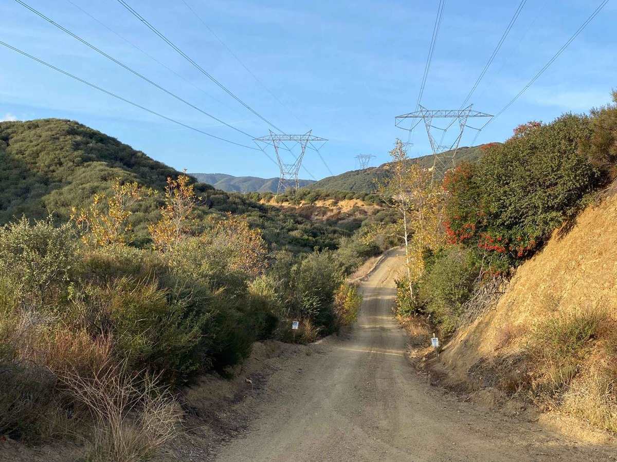
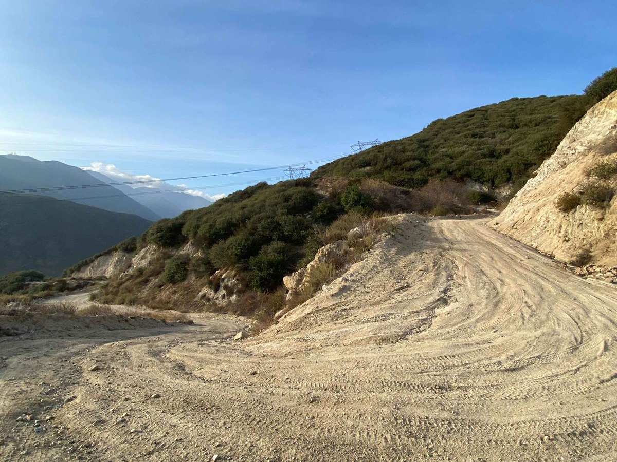
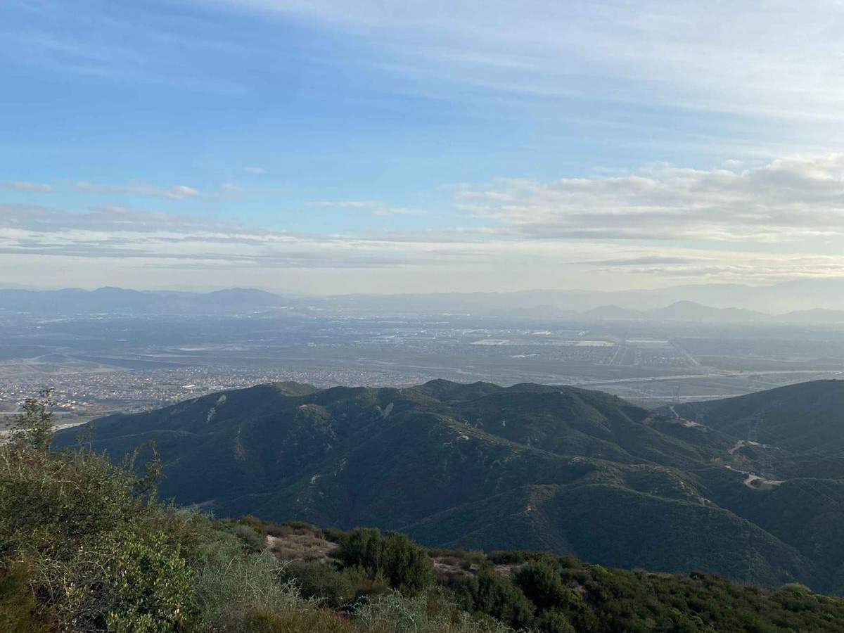
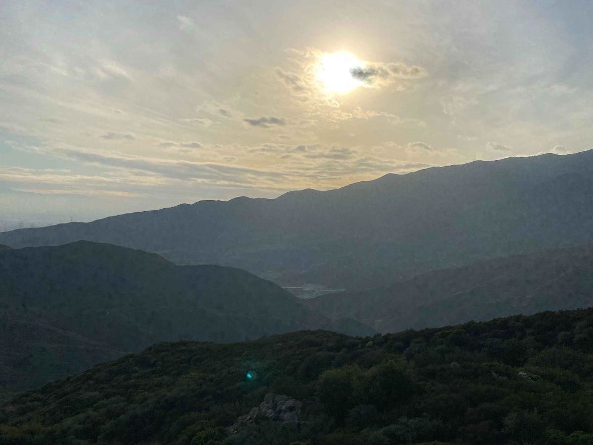
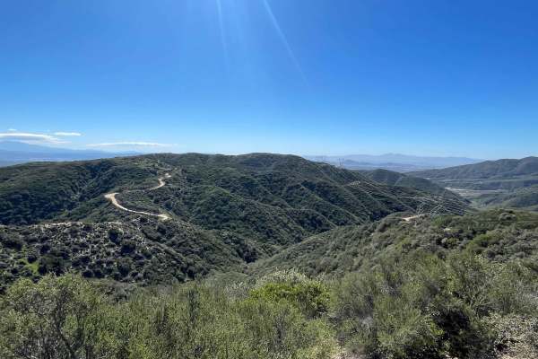
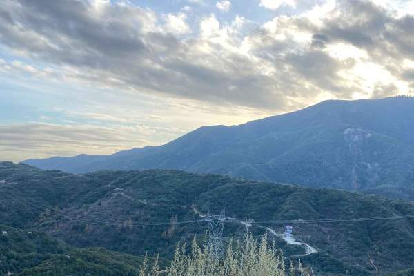
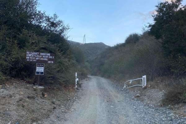
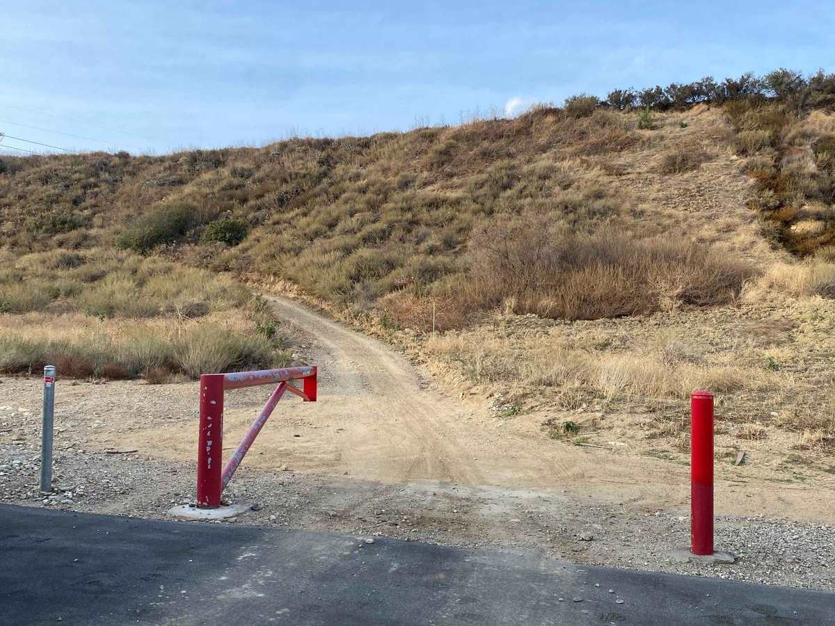
This trail goes from Gray Pine Pl. up to 3N31. Starting the trail off of Gray Pine Place you will find yourself in a subdivision, the access is between two houses and is marked as such. Please respect the neighborhood, don't make a mess, and keep noise under control. This trail can be best described as a rough dirt road. The first part is more rocky and loose but quickly turns into hardpack dirt.

Photos of Edison Road Section 3 - 1N32

Difficulty

There are no major obstacles on this trail, this trail would be great for novice offroad enthusiasts.

Technical Rating

1

Status Reports

Add Status Report
Nick S
Jul 05, 2026
Open
Rough/Deteriorated
Went up on ADV bikes. This is steep and rutted in some sections, fun on the way up, could be some traction issues on the way down.
doug christensen
Jun 28, 2026
2023 Toyota Tacoma
Open
Rough/Deteriorated
no one on the trail, pretty foggy the more elevation you climbed. pretty easy trail with some decent size ruts. my stock trd or had no problem.
Ryan Le
Jun 02, 2026
Open
DustyRough/Deteriorated
very rutted out, i was able to make it almost all the way in my stock subaru forester but definitely had to be picky about my lines. decided to turn around because i was by myself but if i had someone spotting i could have probably made it all the way.
Michael Rincon
May 25, 2026
Open
NormalDusty
Fun ride
Duhteej
Apr 11, 2026
Open
Rough/Deteriorated
Definitely has deep ruts . Doable if you hug the wall in certain areas, smaller trucks can make it. Bigger trucks recommend little lift. Took it all the way up then hopped on the other trail lower little creek. Went down /east towards glen helen.
Robbie Anaiah
Apr 11, 2026
2020 Ford Ranger
Open
DustyRough/Deteriorated
Conditions were ROUGH. So many ruts and some very deep. My first time 4x4ing with my pops. Both of us with no experience lol Boring trail though besides the water crossing at the end. This trail is torn up though with all these ruts, so driver beware. But my lil ranger handled with no locking diff on AT4Ws.
Mike Bindscheattel
Feb 28, 2026
2015 Jeep Wrangler Unlimited Rubicon
Open
Went up Edison Rd to Lower Lytle Creek Divide and then continued to Applewhite Rd. Trails in good shape besides some erosion but you can go thru it or around it. Great ride
Rick Kirkwood
Feb 28, 2026
2021 Jeep Wrangler
Open
NormalRough/Deteriorated
Went up Meyers canyon then cut across to come down here. Beautiful day, only encountered one other jeep coming up as we went down. Rutted from the heavy rains but still very enjoyable!
ashley bowers
Feb 08, 2026
2018 jeep grand cherokee
Open
Normal
A p
Feb 02, 2026
2006 Toyota Tundra
Open
NormalRough/Deteriorated
Pretty chill trail going up had no problem with 2wd. Shouldn’t have any trouble as long as you have some sort of lift and A/T tires
gerardo M
Jan 05, 2026
2021 Jeep Wrangler
Open
Muddy/Wet
Jose Escalante
Jan 04, 2026
Open
Muddy/Wet
Checked out the trail today and it was muddy and slippery. It was a little sketchy in some areas of steepness with with some deterioration. I was sliding around. Go slow and try not to spin your wheels.
Mike Bindscheattel
Jan 01, 2026
2015 Jeep Wrangler Unlimited Rubicon
Open
Muddy/WetRough/Deteriorated
The tail was very muddy and we were sliding around alot. Probably an easy trail when its dry but wet it was challenging
Andy R
Dec 03, 2025
Obstructed
Construction going on
Alex Padilla
Nov 08, 2025
Obstructed
Some soil collapsed opposite of the drop. Passable but spooky with the shelf drop.

Edison Road Section 3 - 1N32 Trail can be accessed by the following ride types:

  • High Clearance
  • Full Width

Edison Road Section 3 - 1N32 Map

The onX Offroad Difference

onX Offroad combines trail photos, descriptions, difficulty ratings, width restrictions, seasonality, and more in a user-friendly interface. Available on all devices, with offline access and full compatibility with CarPlay and Android Auto. Discover what you're missing today!

Open Trail Map