Trail Overview
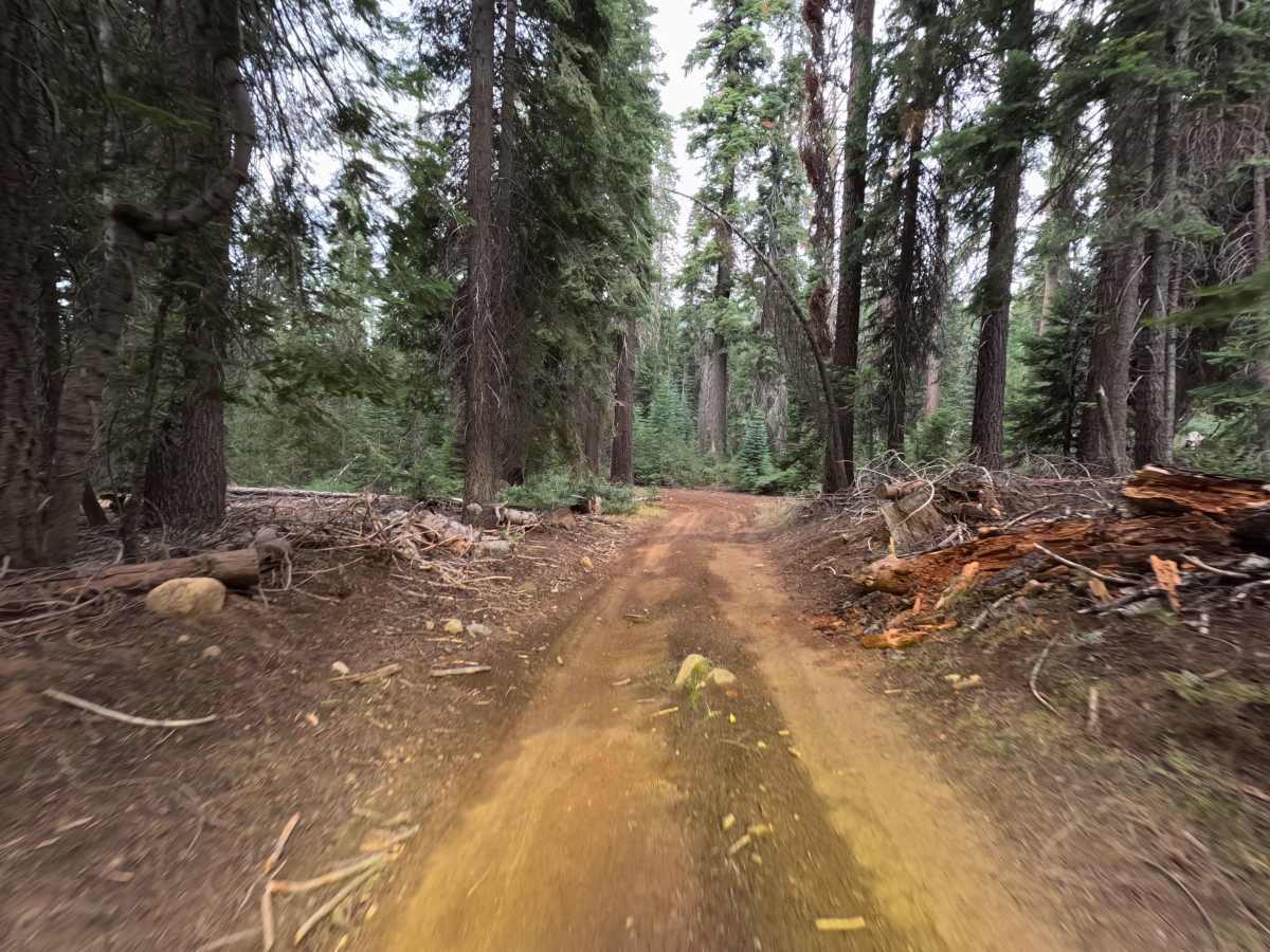
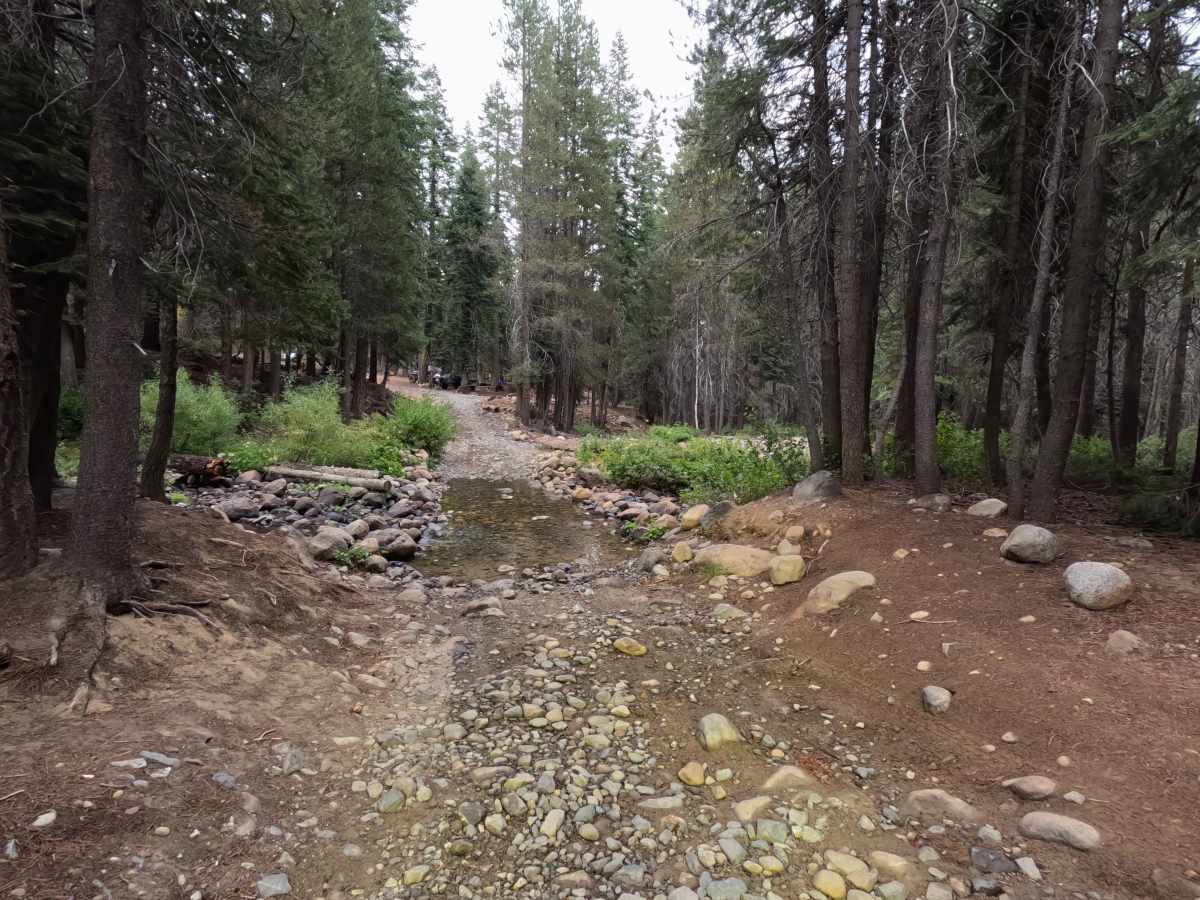
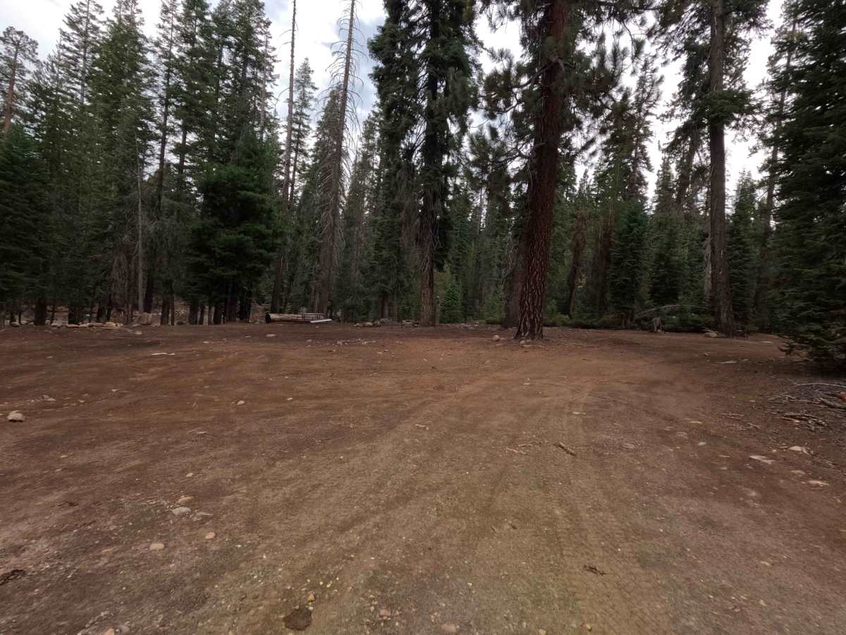
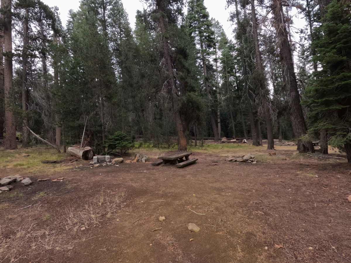
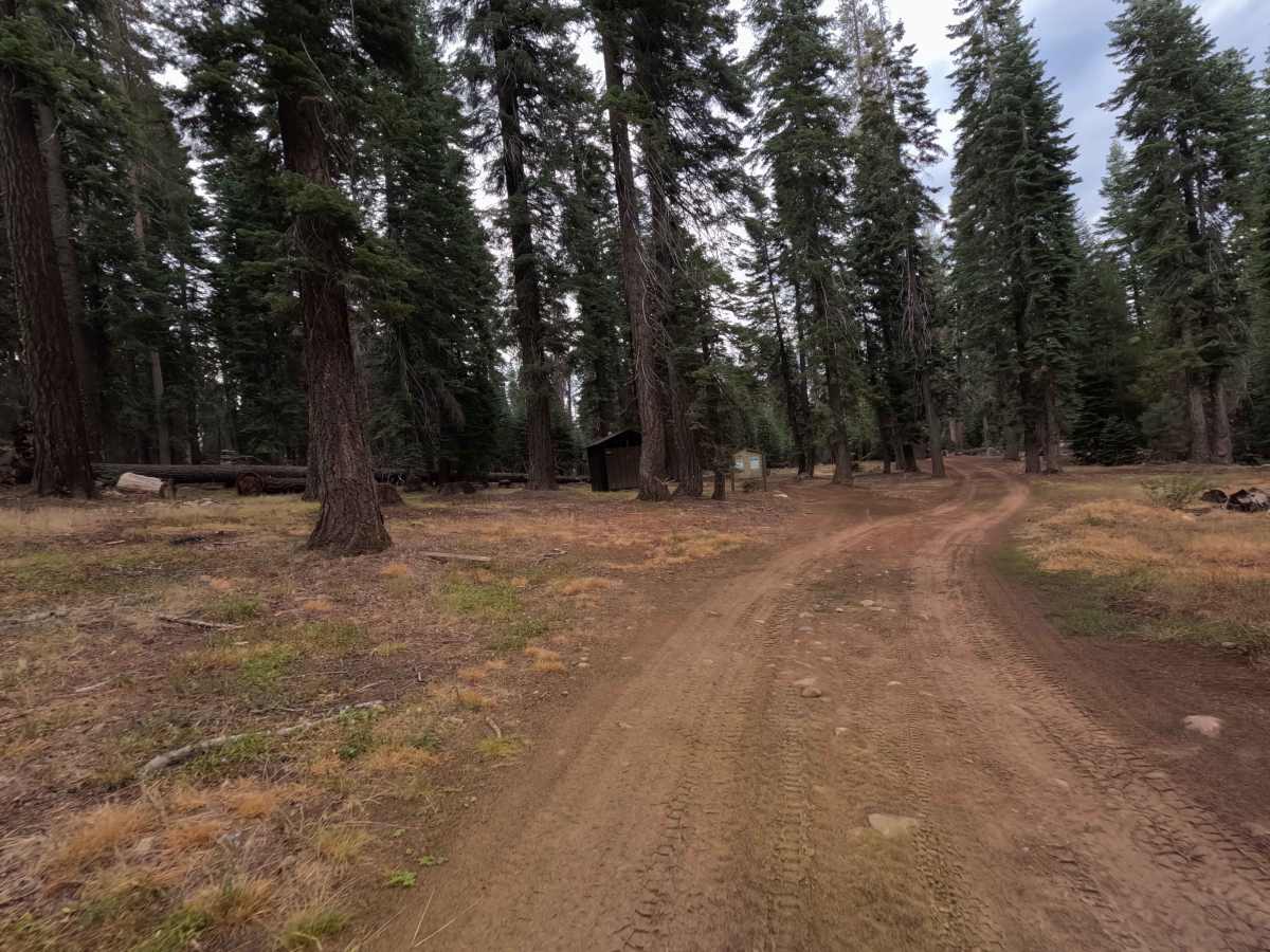
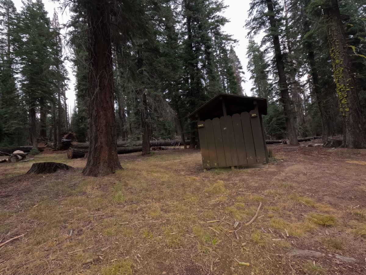
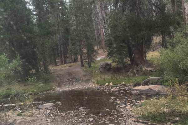
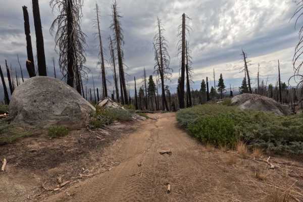
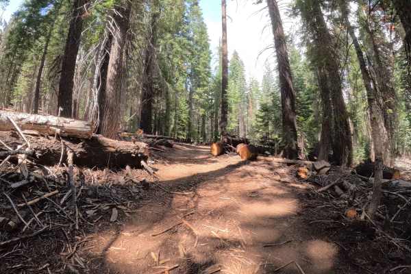
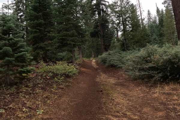
East Fork Chiquito Creek (FS 5S011) is the scenic, bubbling heart of the Chiquito basin. Accessible directly from the paved scenic byway of Beasore Road, this trail functions primarily as the main loop for the Upper Chiquito Campground. It’s a gentle, meandering drive that follows the banks of the East Fork Chiquito Creek, offering a soothing soundtrack of rushing water to accompany your search for the perfect campsite. The route includes the intriguing "Globe Rock B" spur, which loops in and out of the back of the campground, adding a little extra mileage for those exploring the perimeter. While the main loop is a civilized affair with access to pit toilets and established dispersed sites, it also serves as a jumping-off point for bolder adventures. It connects directly to the Global Rock (FS 5S004) trail system, but be warned: taking that connector involves a creek crossing that leaves the "Easy" rating behind. For most, however, FS 5S011 is a relaxing, shady creekside cruise perfect for setting up basecamp.
Difficulty
The primary loop of FS 5S011 is a classic Rating 2 trail. As a campground access road, it is maintained to be accessible for most high-clearance vehicles, including stock trucks and SUVs towing small trailers. The surface is generally smooth dirt with minimal obstacles, designed to get you to your campsite without drama. However, a crucial asterisk applies: If you attempt to connect to Global Rock (FS 5S004) from the back of the campground, you will encounter a creek crossing and rougher terrain that bumps the difficulty significantly (likely to a Rating 3 or 4). Stick to the main loop if you want to keep it easy; engage 4WD and check depths if you plan to cross the water.