Donaldson Creek Road - FS 32N14

Total Miles6.6
Technical Rating
4Moderate
Best TimeSummer
Trail TypeFull-Width Road
Accessible By
Open Trail Map

Trail Overview

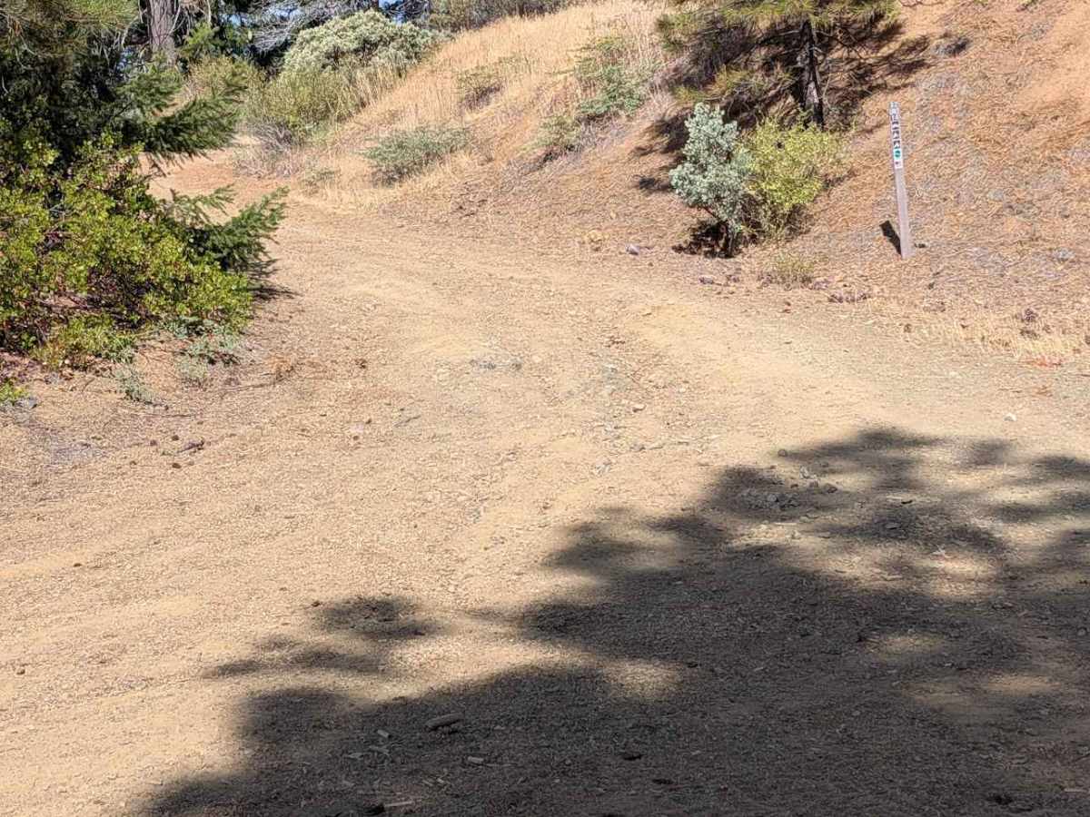
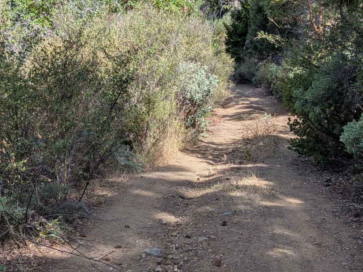
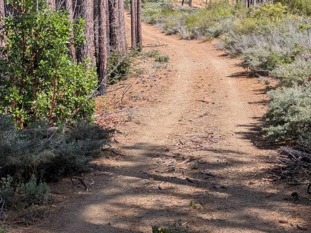
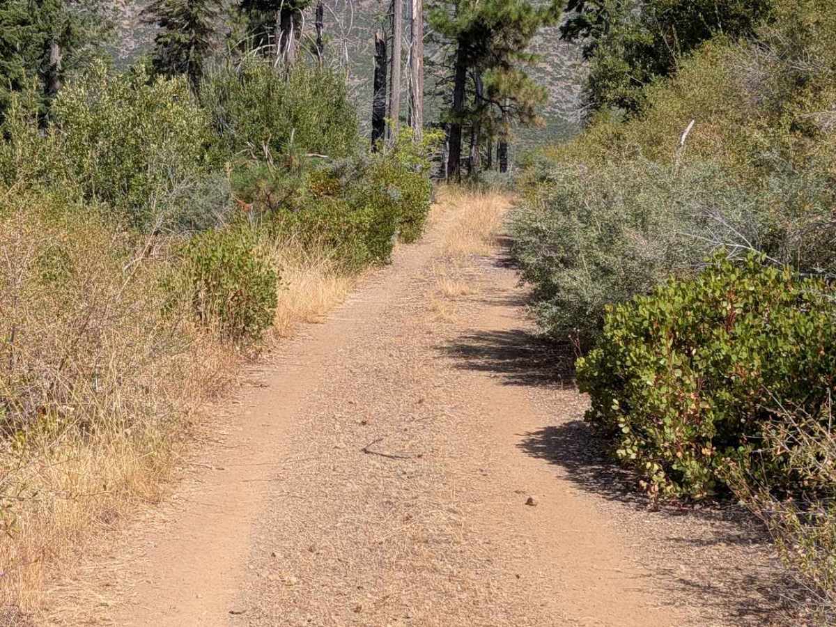
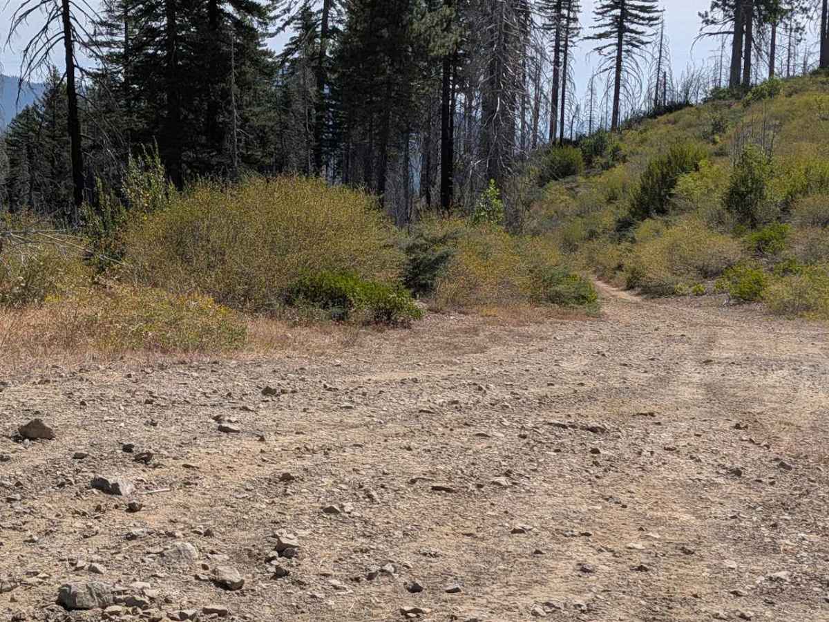
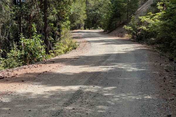
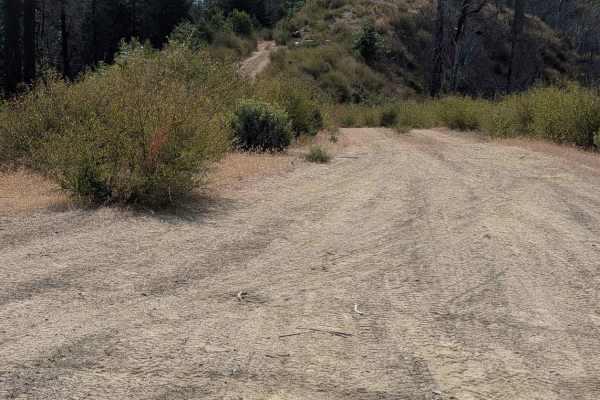
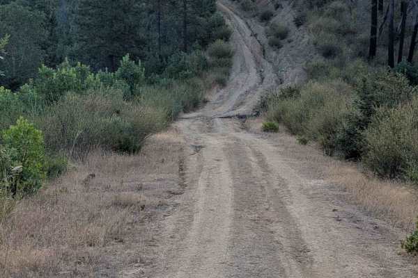
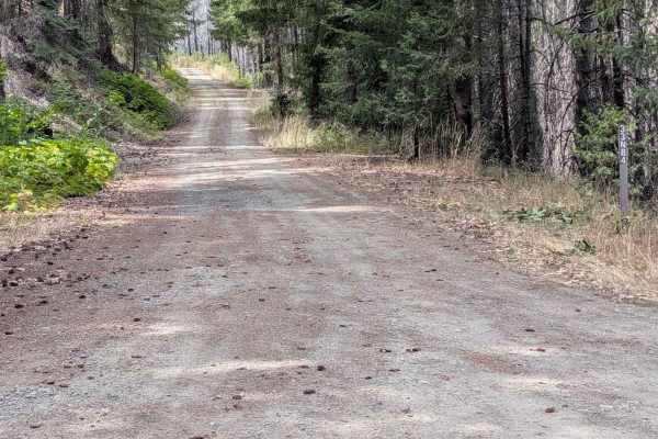
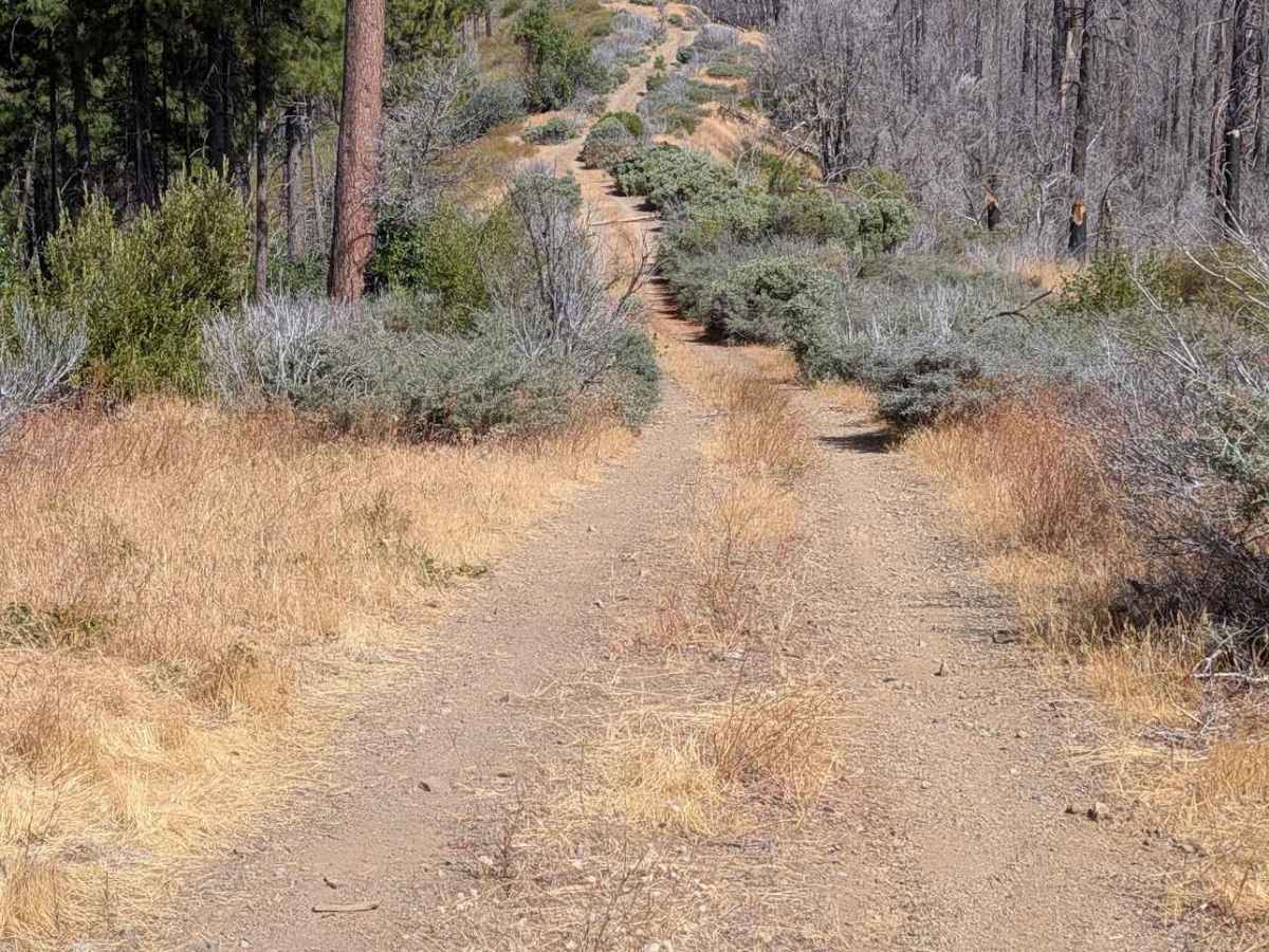
This single-lane natural surface road begins and ends at Miners Creek Road - FS 4N08. The road surface is mostly dirt with sections of gravel and rock. It has climbs and descents with ruts and erosion damage up to 18 inches deep, along with exposed embedded rocks and loose rocks up to a foot high. Several sections are also pretty overgrown, making pin striping likely for full-size vehicles. There are some places wide enough to meet another vehicle safely, but much of it is too narrow to do that easily.

Photos of Donaldson Creek Road - FS 32N14

Difficulty

Rated 4 for erosion damage and rocks on steep climbs and descents.

Technical Rating

4

Donaldson Creek Road - FS 32N14 Trail can be accessed by the following ride types:

  • Single Track
  • 50 Inch
  • 60 Inch
  • High Clearance
  • Full Width

Donaldson Creek Road - FS 32N14 Map

The onX Offroad Difference

onX Offroad combines trail photos, descriptions, difficulty ratings, width restrictions, seasonality, and more in a user-friendly interface. Available on all devices, with offline access and full compatibility with CarPlay and Android Auto. Discover what you're missing today!

Open Trail Map