Trail Overview
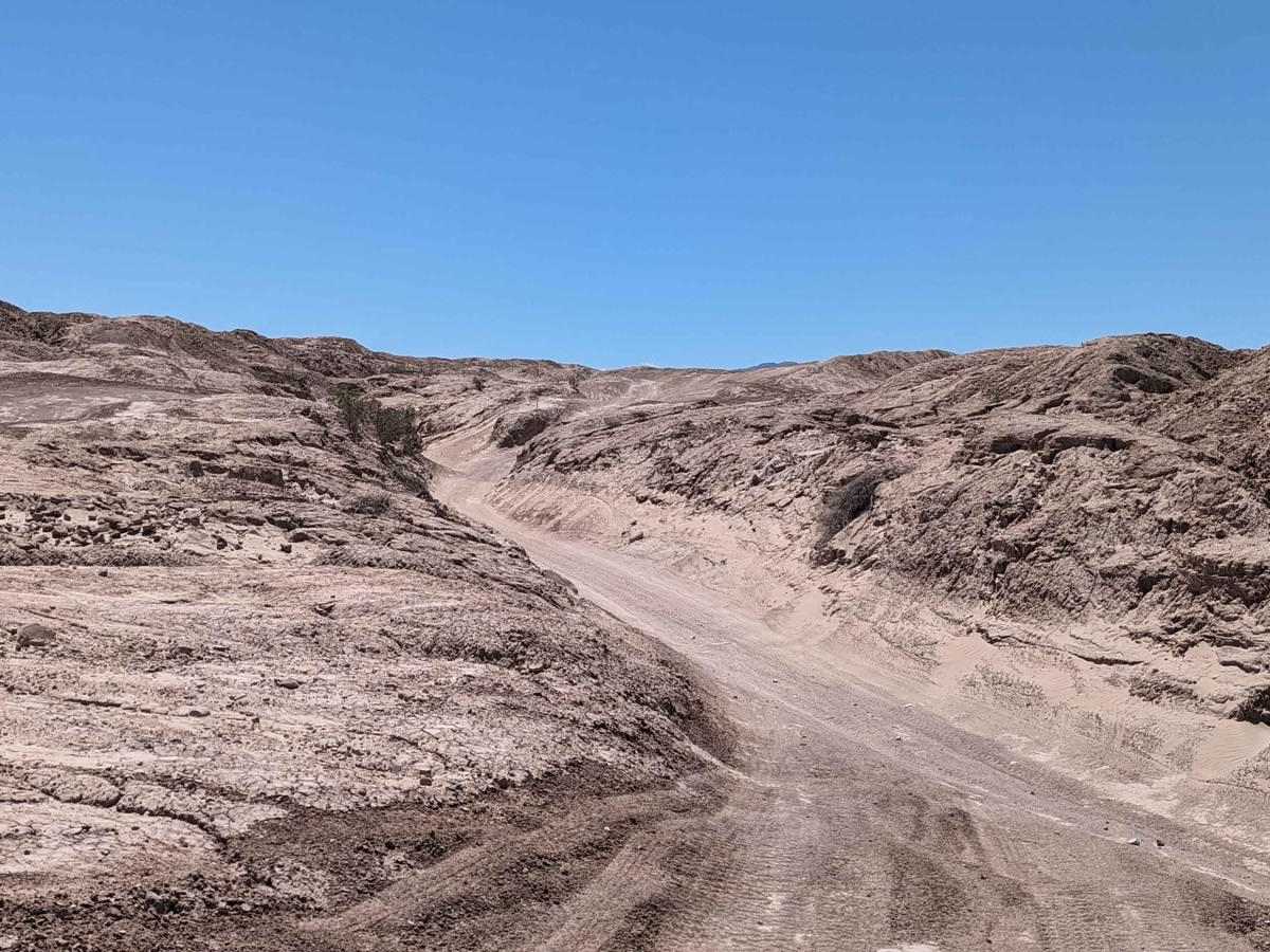
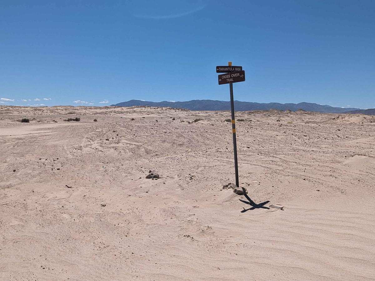
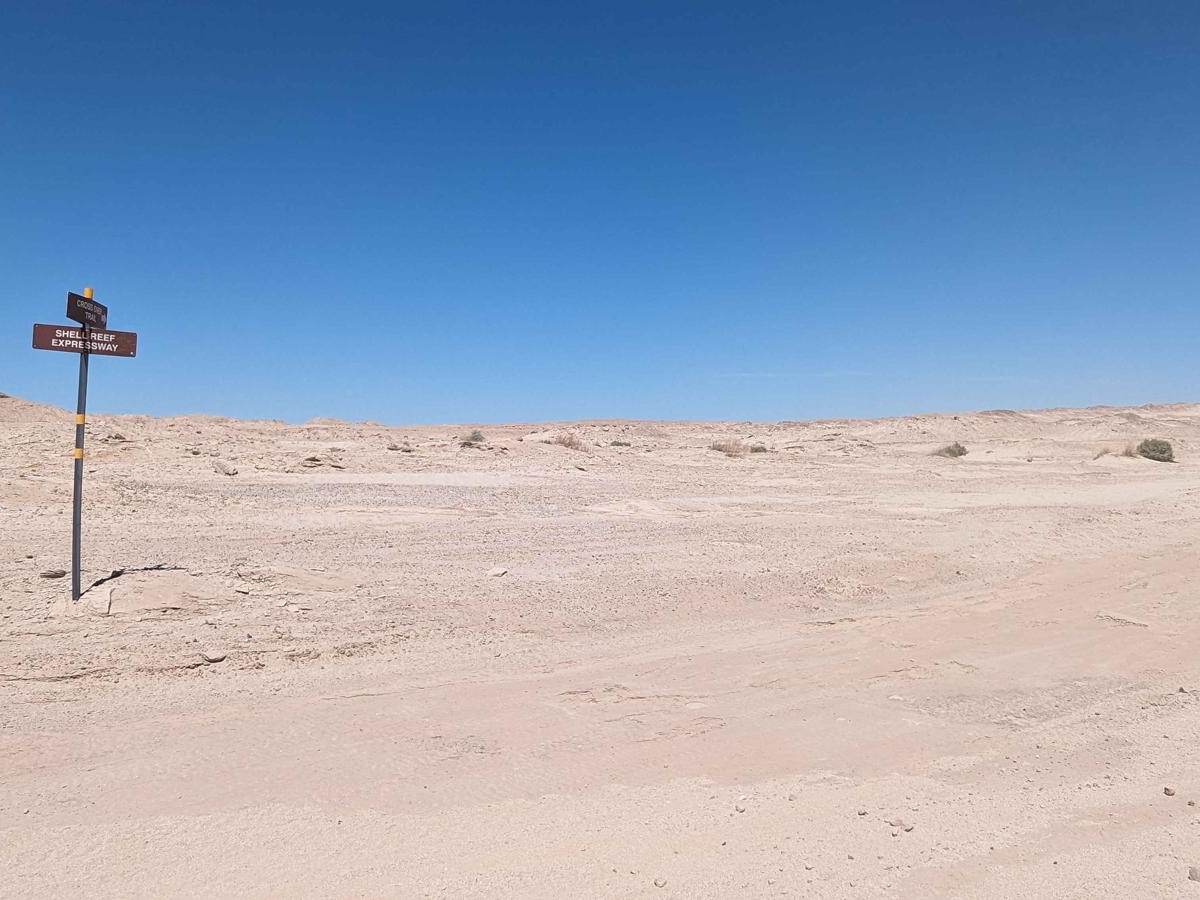
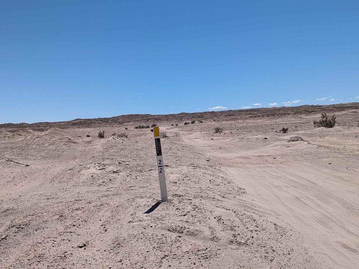
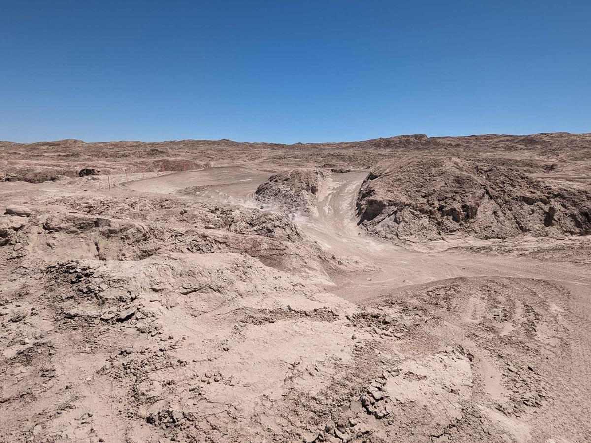
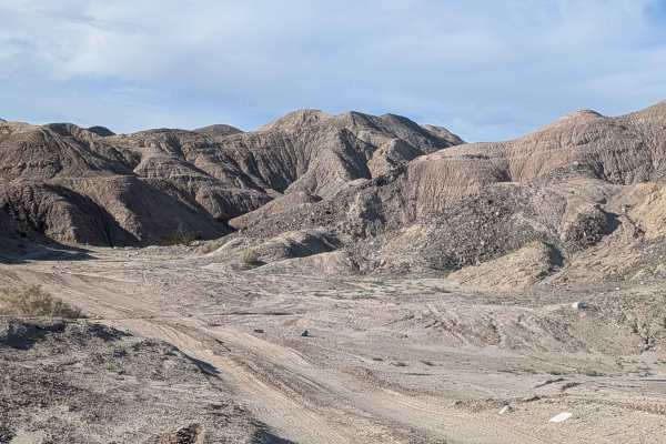
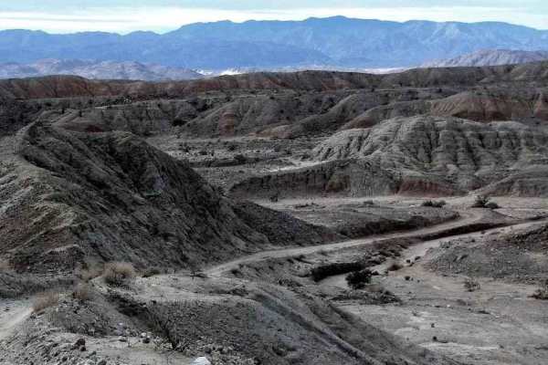
Welcome to the Ocotillo Wells State Vehicle Recreational Area, the largest SVRA in California with more than 85,000 acres. OWSVRA is over 130 square miles with hundreds of miles of desert track open to all forms of off-highway vehicles. The SVRA borders the Anza-Borrego Desert State Park with many of the trails transiting between both areas. Only street-legal vehicles are allowed in the ABDSP. Cross Over Trail is a 6.4-mile point-to-point trail rated 3 of 10. As with most trails within the OWSVRA, the track is predominately sand and hard-packed desert soil. This is the main route to reach the northern part of OWSVRA. The north end of the Cross Over Trail is State Route 22. There is a 4x4 Training Area as well as several vault toilets located on this end. The southern end of the trail is the intersection with Shell Reef Expressway. The trail intersects with all of the major east-west trails on the northern side of the SVRA. The northern section of the trail is in open desert while the southern section runs through the mud hills as a single-vehicle track. Running through the southern section, there are dozens of opportunities to take harder lines. The Ocotillo Wells State Vehicular Recreation Area (OWSVRA) is administered by the Off-Highway Motor Vehicle Recreation Division of the California Department of Parks and Recreation, now commonly referred to as California State Parks. Travel within the OWSVRA is generally unrestricted, relying on the driver's sense of responsibility for protecting natural resources. There are no entrance or camping fees here, and open camping is permitted for up to 30 days per calendar year. All vehicles operated off-highway on public lands in California are required to be (1) street-licensed or (2) registered as an off-highway vehicle (OHV). Purchase of a California Nonresident permit is required: https://ohv.parks.ca.gov/?page_id=25669. Whether a beginner or an adrenaline junkie, you'll find something to your liking in the SVRA (hiking, dirt bike, ATV, UTV, dune buggies, or 4x4s). It is open to the public 7 days a week and 24 hours a day, go out and ride whenever you want. The off-road season is usually between the cooler months of October and May, so these months are usually the most crowded. Cell phone service is intermittent. Vehicle repair shops, telephones, groceries, hotels, motels, RV parks, and restaurants are available in the surrounding communities of Borrego Springs, Ocotillo Wells, and Salton City. Fuel is available in the communities of Borrego Springs and Salton City.
Difficulty
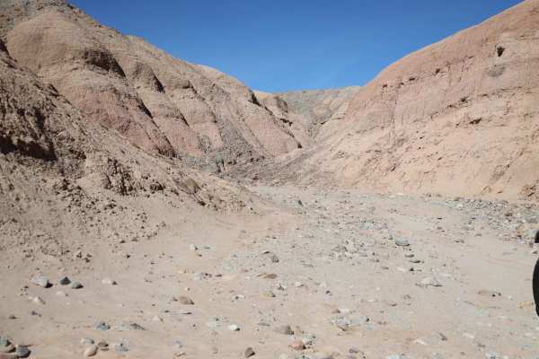
The trail consists of loose rocks, dirt, and sand with some slick rock surfaces and mud holes possible. No steps are higher than 12 inches. 4WD may be required, and aggressive tires are a plus.