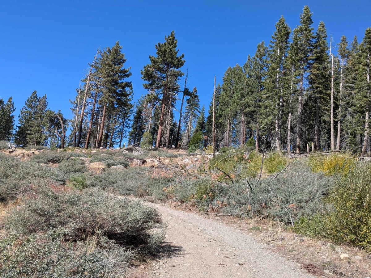
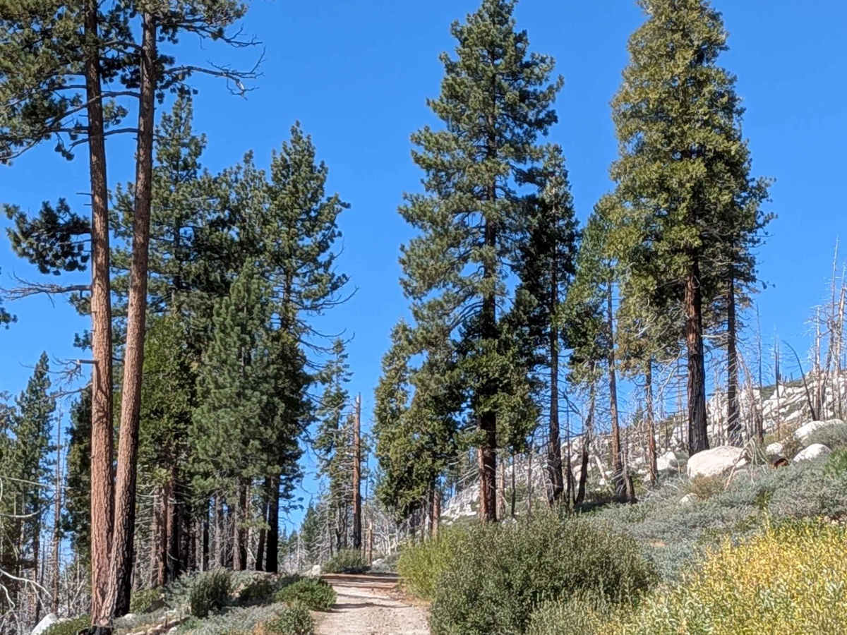
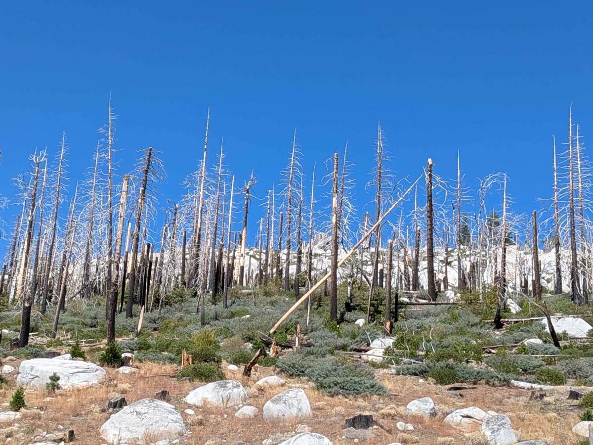
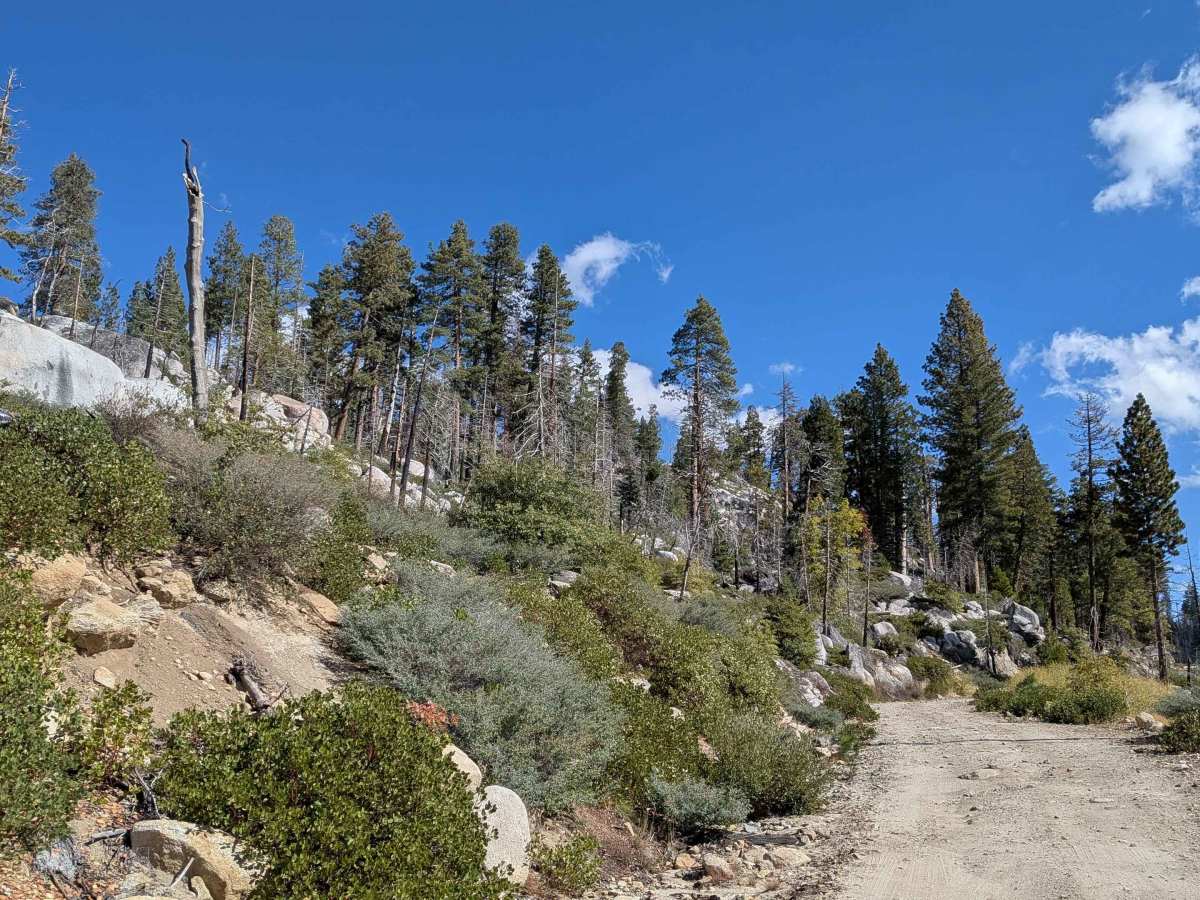
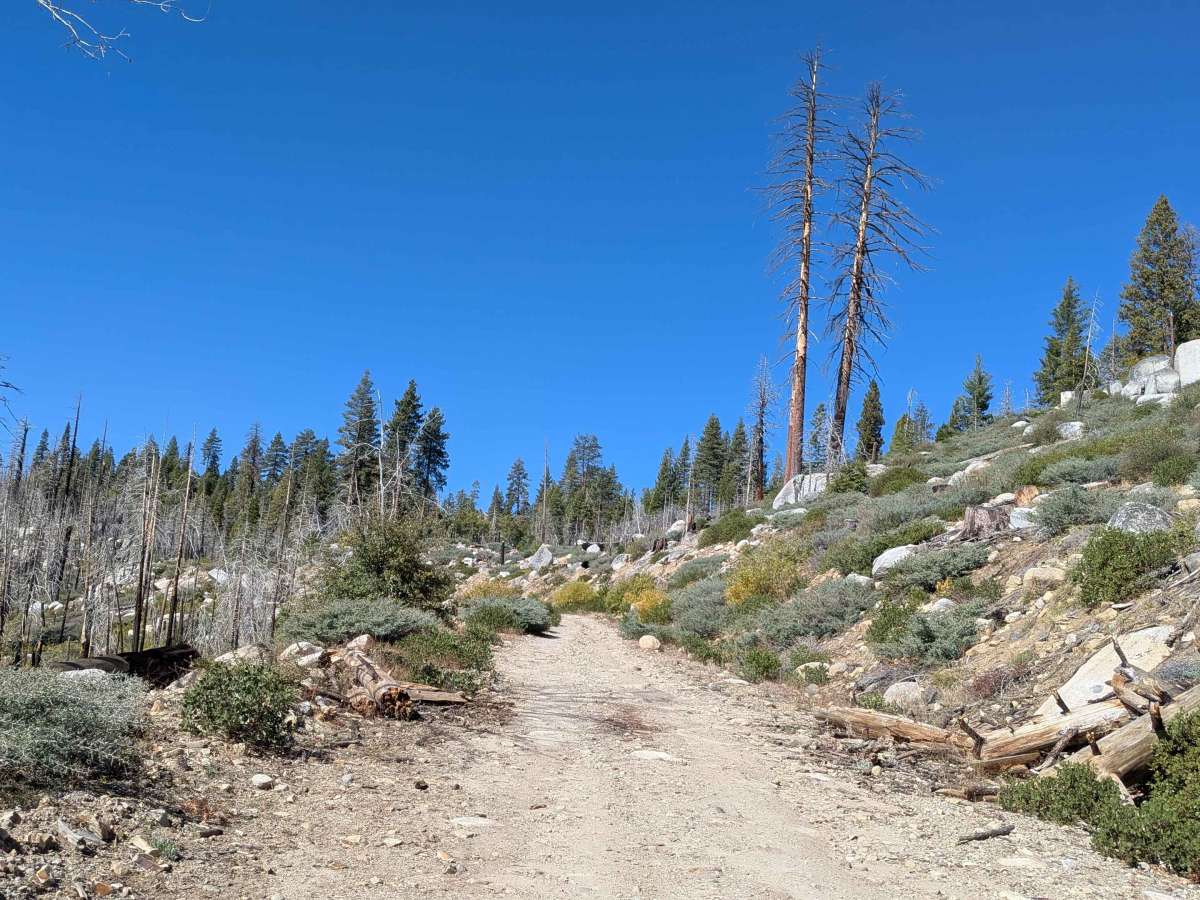
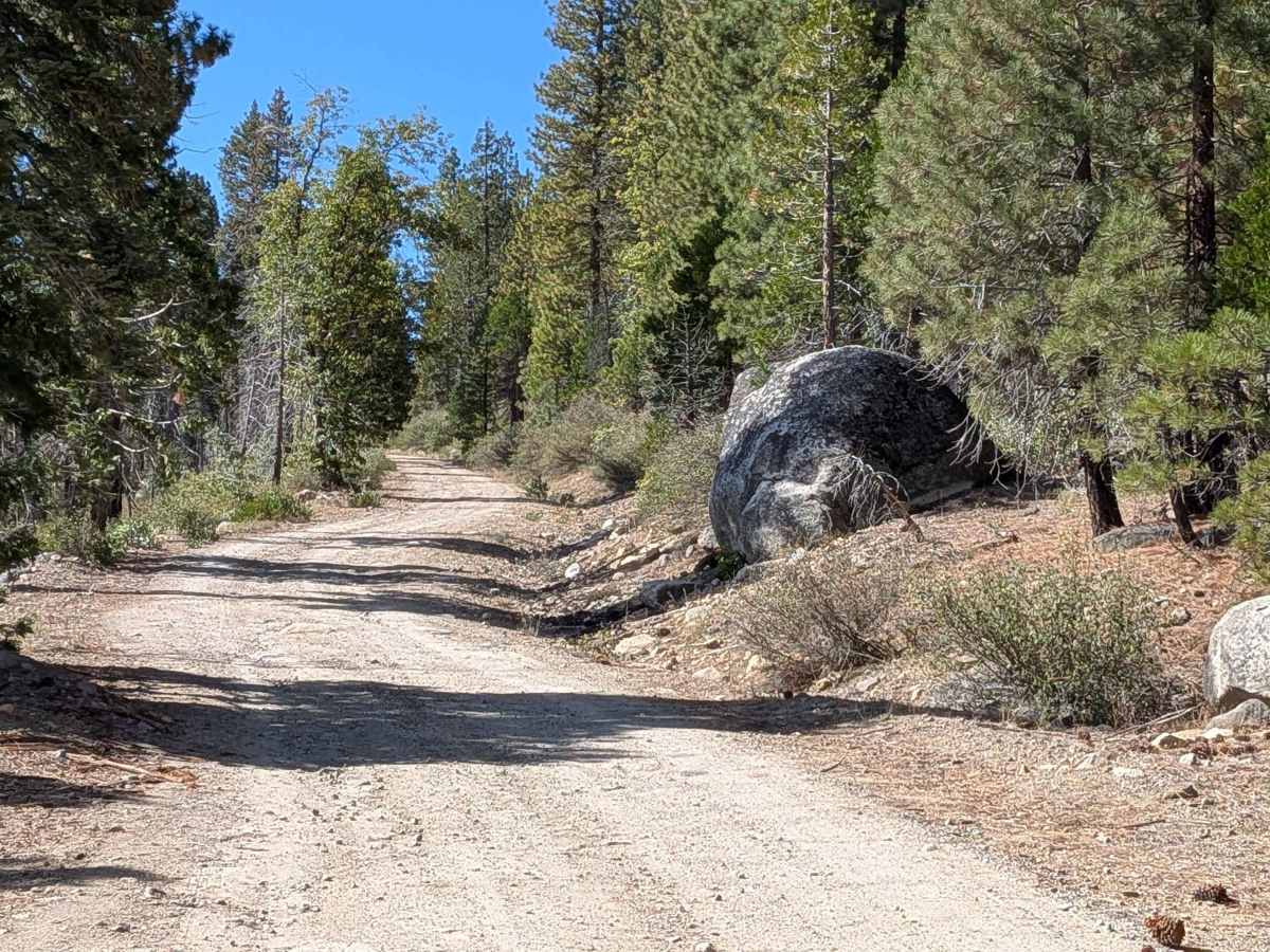
Trail Overview
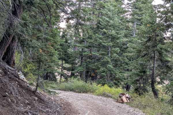
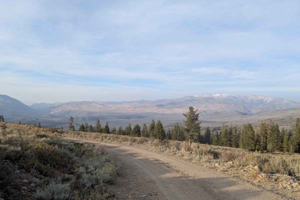
This 3.38-mile out-and-back trail starts on Highway 108, 12.6 miles from the 395 junction, climbing almost 700 feet and dropping almost 200 feet. Part of the Humboldt-Toiyabe National Forest, the hard-packed dirt trail with embedded rocks is one vehicle wide. The trail immediately climbs onto a shelf road overlooking Highway 108 with views of the surrounding hills, mountains, and forest. It winds through a pine forest with dispersed camping opportunities. At mile 1.5, it leaves the forest and climbs along a ridgeline shelf road with mountain and valley views. The last half mile is a steeper climb through sparse forest to the summit. Be aware that the US Marine Corps training facility is nearby. Watch for coyotes, foxes, bobcats, and mule deer.
Difficulty
This trail features small mud holes after rain, and some ruts and tree roots, all under 12 inches throughout. At mile 1.1, the trail climbs a small hill covered with small rocks and ruts from water drainage. After mile 1.5, more rocks and a few ruts appear with slightly off-camber sections. There is a small creek crossing that flows even in the fall, and a steeper hill climb in the last half mile.