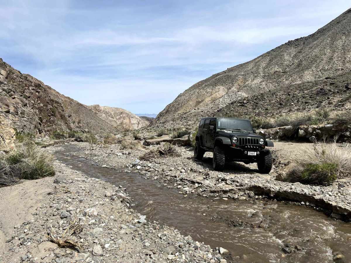
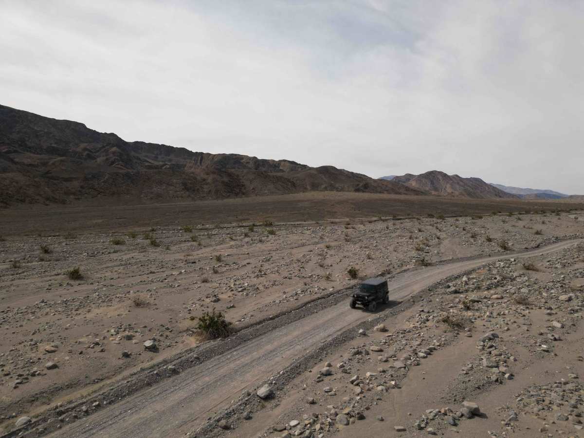
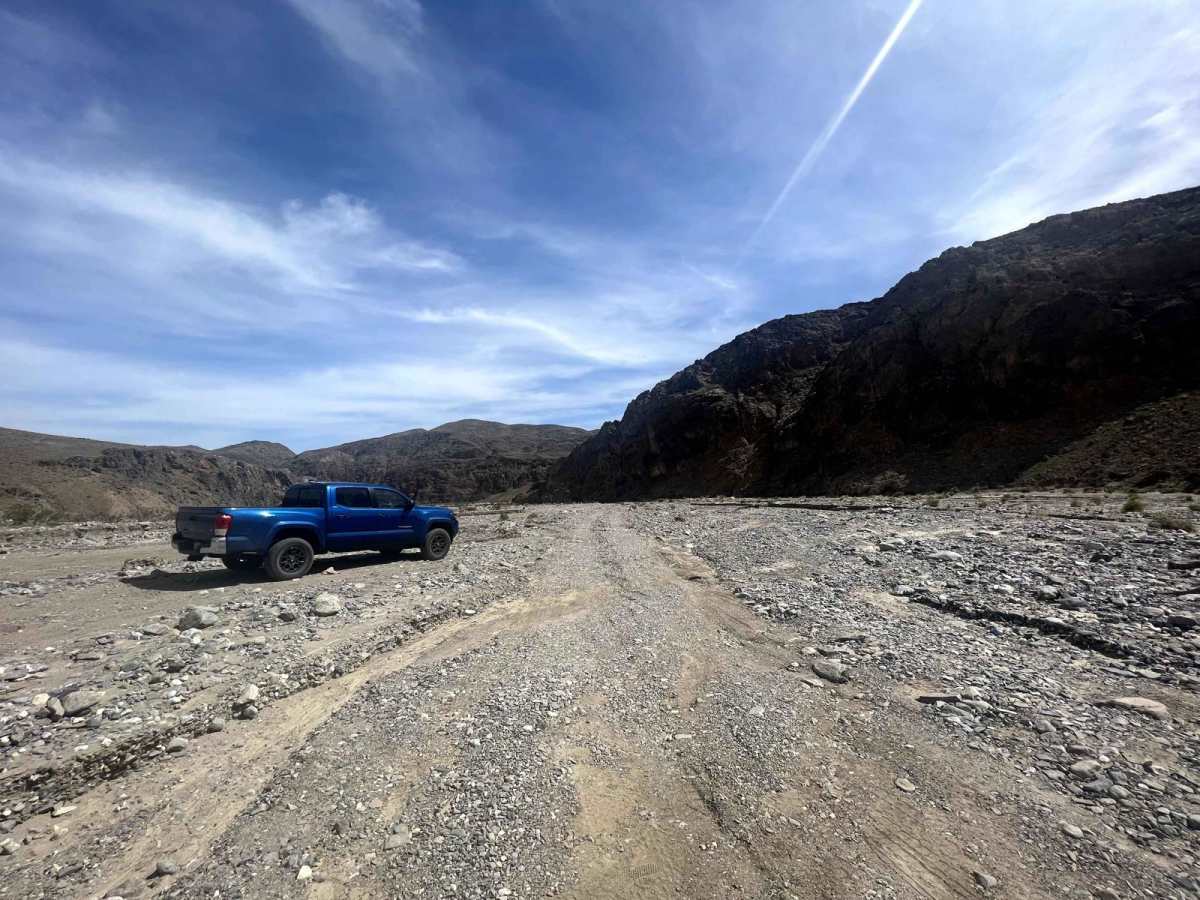
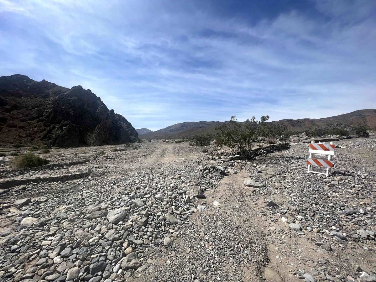
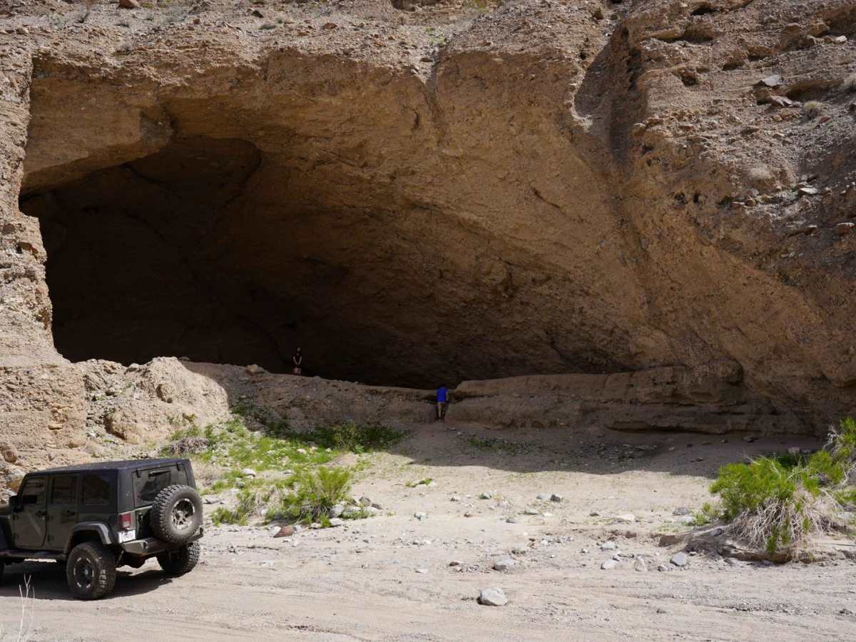
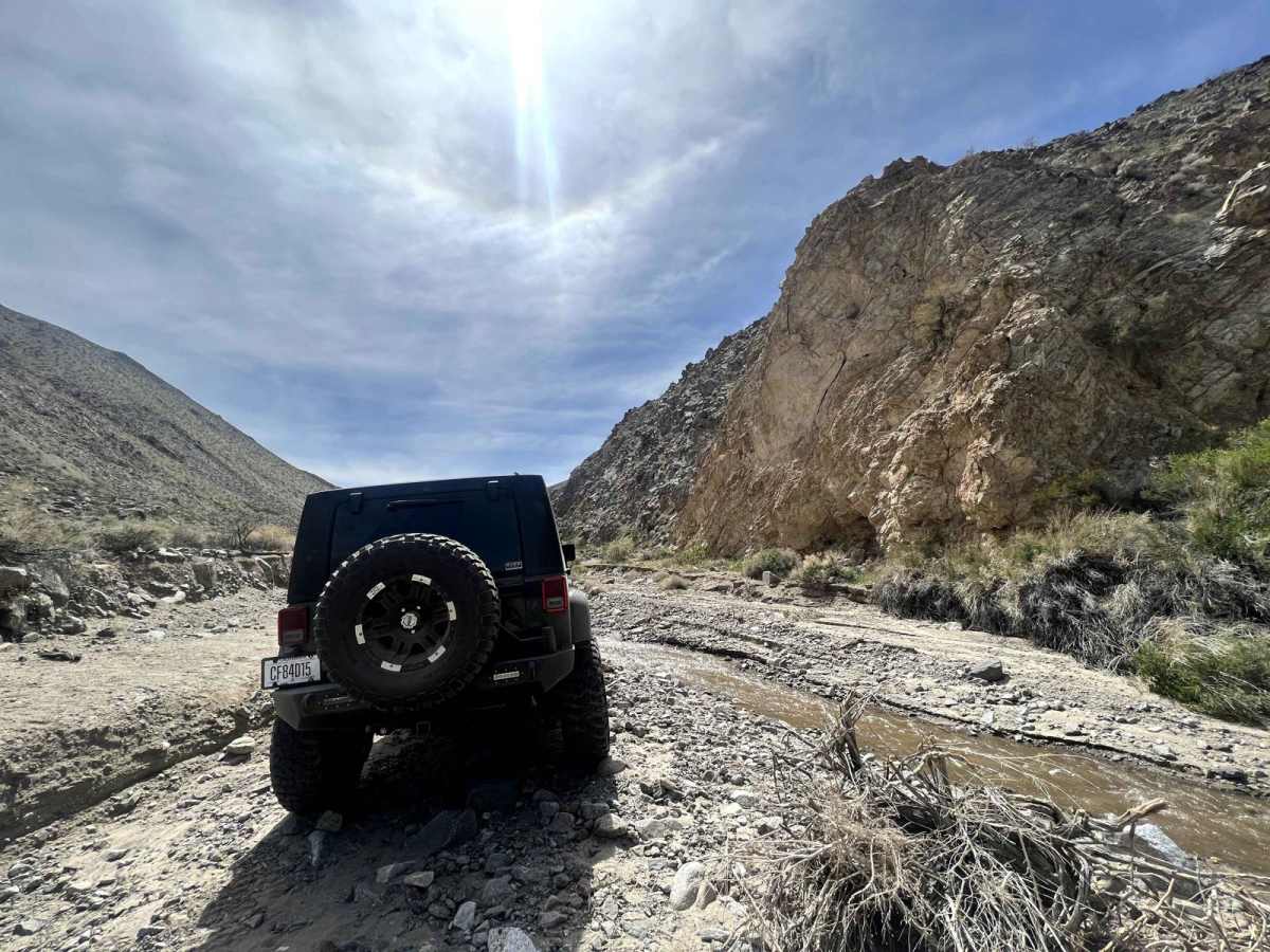
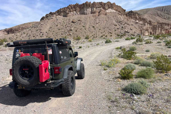
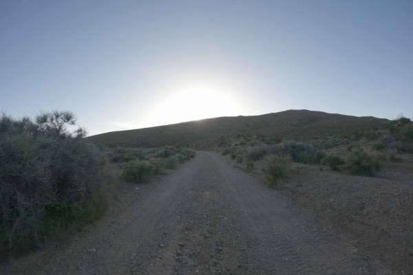
Cottonwood Canyon Road

Total Miles 19.1
Technical Rating
4 Moderate
Best Time Summer, Fall
Trail Type High-Clearance 4x4 Trail
Accessible By
Open Trail Map

Trail Overview

This is a moderate route for experienced off-road drivers, starting from Stovepipe Wells campground and ending with another foot-traffic-only trail, with 2800 feet continuous elevation from 33 feet under sea level. It takes 2 hours to get in and another 2 hours to get out. Multiple surfaces including dirt, deep sand, mud, and creeks. The trail can be narrower; mud, water, and obstacles can be more as the elevation increases, so make sure to bring a set of traction mats. You will need to cross creeks and overcome short steep grades many times once get into the valley. The trail can be blocked and flushed by the flood if there was raining several days before, so make sure to follow the sign set up by the park rangers if it says "Do not pass". The trail can be seasonally closed due to rain. It is a fun route with a lot of beautiful scenery as well, including a huge cave, creeks, and dead trees. Several camping areas with permit only. Park rangers may patrol the trail. At the start near the campground, 3G cell service, a gas station, restrooms, and stores are available.

Photos of Cottonwood Canyon Road

Difficulty

Creeks and muds become more once you get into the valley, vehicles may slip, or sink in the deep mud. The trail can be cut off by creeks due to the rain. Make sure to bring any necessary tools. continuous elevation consumes more gas.

Technical Rating

4

Status Reports

Add Status Report
Keri Porter
Oct 14, 2025
Open
This trail is a nice cruise and has been recently graded. Currently it is drivable by any all wheel drive vehicle until the last 2 miles where it does get a bit rough but will be drivable in any stock 4wd vehicle. The cave is at roughly the 15 mile mark out of 19 miles.
Tom Morton
Apr 13, 2025
Open
Trail is closed for the last 2.8 miles due to washouts and flooding. However was completely dry up until the closure when we were there. First mile or so was sandy and fun Baja style ride. Then some mild to moderate washboard up to the canyon entrance. Obviously recent washouts, but the trail up to the closure was recently graded and maybe a 2 in difficulty. The natural cave was fun to stop and explore and was a fun trail to explore. After the closure, we hiked another couple miles in. The repaired trail was in great shape, but was obvious there was a lot of damage that had been repaired with the grader. At the end of our hike, the trail damage was pretty extensive and might have been a 3 or 4 if it was open. We didn’t see anything that was actively being repaired.
Daniel Wallace
Apr 28, 2024
Open

Cottonwood Canyon Road Trail can be accessed by the following ride types:

  • High Clearance

Cottonwood Canyon Road Map

The onX Offroad Difference

onX Offroad combines trail photos, descriptions, difficulty ratings, width restrictions, seasonality, and more in a user-friendly interface. Available on all devices, with offline access and full compatibility with CarPlay and Android Auto. Discover what you're missing today!

Open Trail Map