Cleghorn Bar

Total Miles11.7
Technical Rating
4Moderate
Best TimeSummer
Trail TypeFull-Width Road
Accessible By
Open Trail Map

Trail Overview

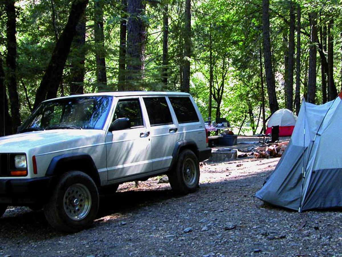
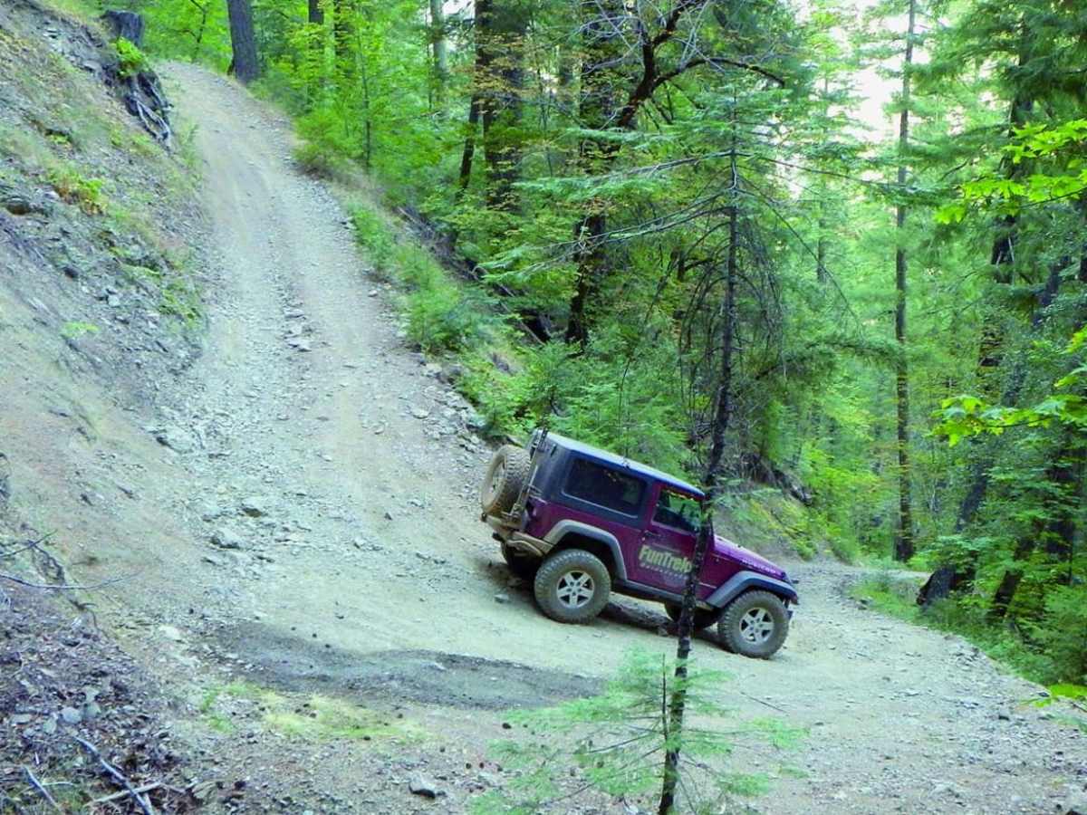
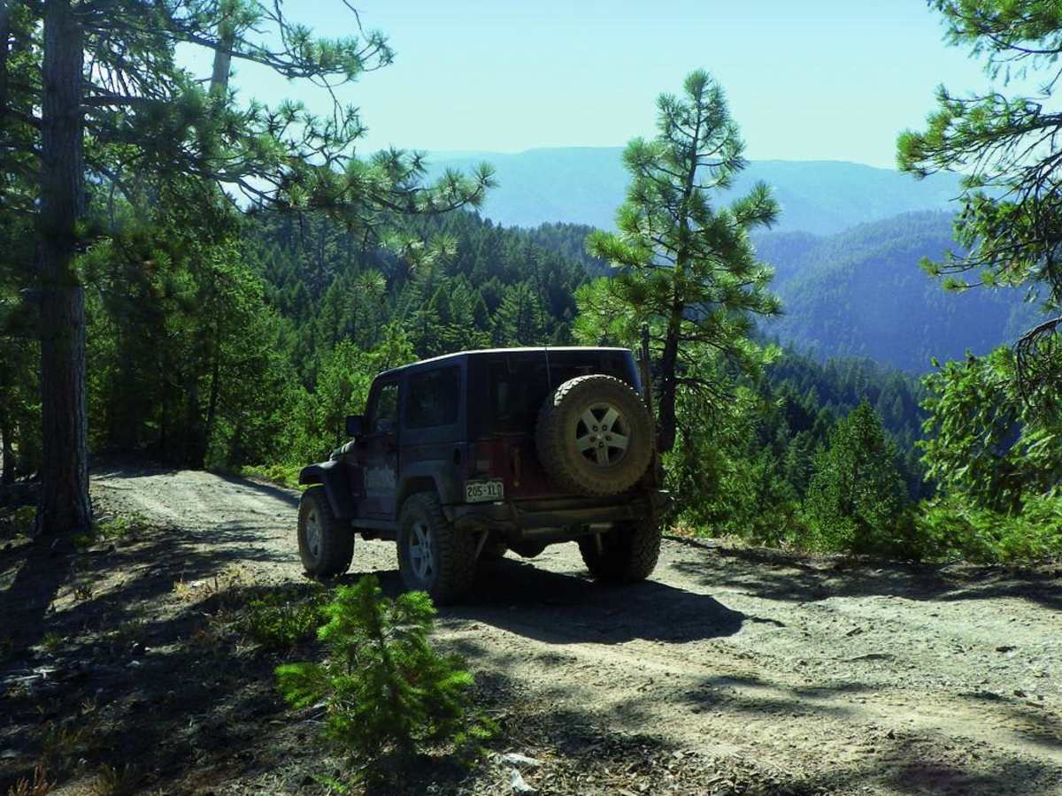
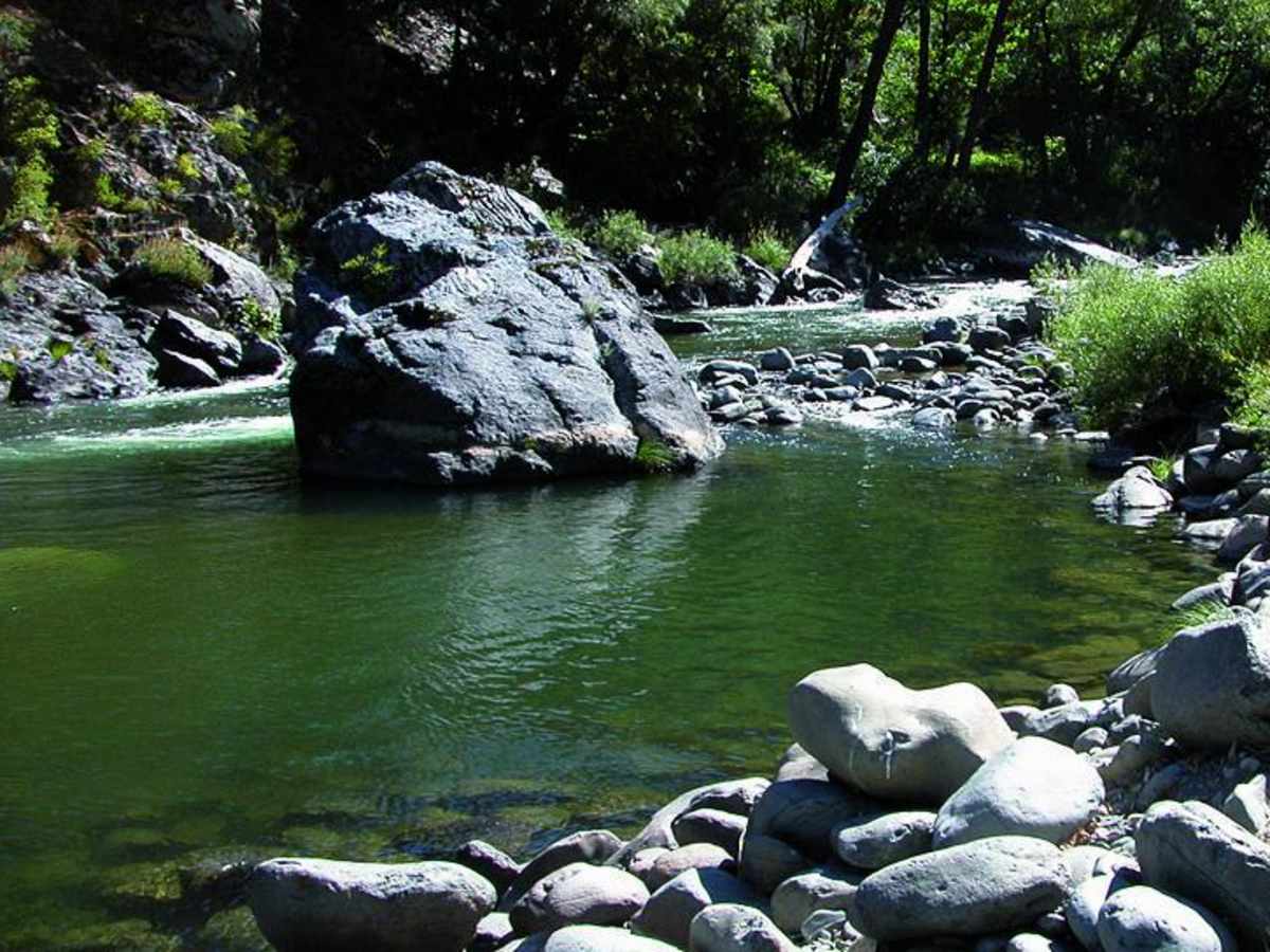
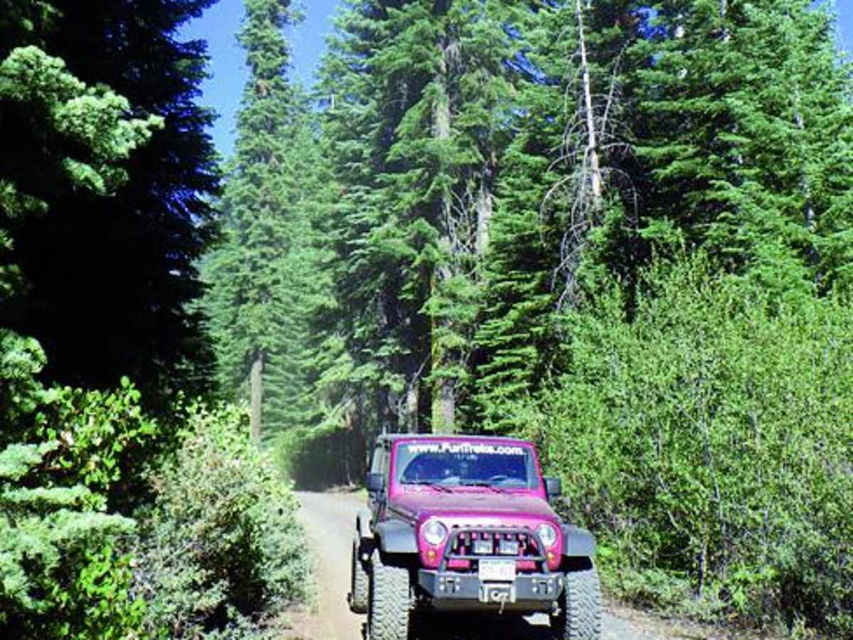
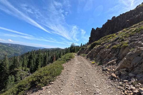
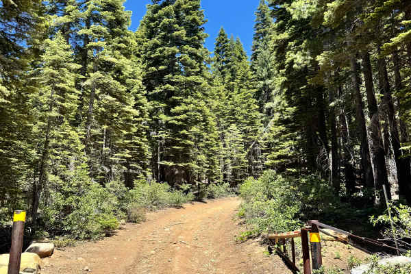
Cleghorn Bar offers an adventurous off-road trek through Plumas National Forest, making it perfect for intermediate drivers seeking a scenic descent into a remote river canyon. This 11.7-mile route starts along a relatively easy gravel forest road, winding through beautiful mountain valleys and over ridges at elevations peaking near 6,450 feet. Green-sticker vehicles, such as SxSs and dirt bikes, are permitted, and staging is available near the beginning of the route. As the trail progresses, the terrain transitions to a four-wheel-drive section where the surface becomes more challenging with rocks and variable conditions. The route features a dramatic elevation drop of over 3,300 feet, culminating in a steep and narrow final mile filled with tight switchbacks that lead directly down to Cleghorn Bar on the Middle Fork Feather River. High-clearance four-wheel-drive vehicles with low-range gearing are highly recommended to safely negotiate this steep descent and the subsequent climb back out. At the river, visitors will find an OHV campground, offering an excellent spot for fishing and remote camping in a rugged canyon setting.

Photos of Cleghorn Bar

Difficulty

Moderate: Most of the trail is easy gravel road. Last mile has steep switchbacks. Four-wheel-drive and lowrange gearing are recommended.

Technical Rating

4

Status Reports

Add Status Report
Michael Varner
Aug 04, 2025
2022 Ford Bronco
Open
DustyNormal
As others have said, the trail starts out pretty easy. Gravel road, pretty flat, a little narrow. As the trail progresses, the gravel starts to disappear, the ruts start to get a *little* bigger (though nothing unmanageable with a proper 4x4 with good clearance), and the amount of a downed trees starts to increase. Eventually the road gets rather narrow, with bushes so close in that pinstriping gets to be almost a guarantee, with a few steep, off-camber sections that are quite manageable, but uncomfortable if you have guests with you who are not acclimated to such things. We eventually turned back about 3/4 of the way in, as it stopped being fun for my passenger, so we didn't make it to the campground at the end. We only saw one other truck the entire time. Fairly dusty, especially after the gravel, but what part of the sierras isn't this time of year? Experienced drivers will consider this a leisurely drive, as I didn't even put it in 4H till over halfway into the trail. The views however, are very nice.
Donovan Swift
Aug 01, 2025
1999 Toyota Tacoma
Open
Rough/Deteriorated
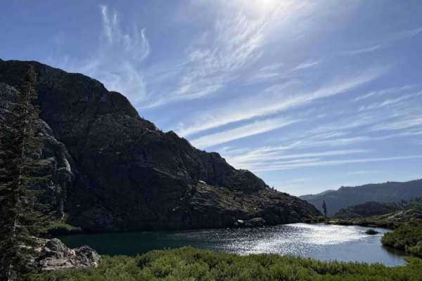
Don’t come up la Porte rd from Quincy, extremely steep but paved. Top half is easy gravel road little to no grade, beautiful sights you’re riding along the very top of the sierras. A few decent grades in red dirt with up to 2ft bump, last chance to turn back in between hill climb 1 and 2. then start a decent decent right on a ridge line until you hit gray dirt with switch backs descending to the river. Make sure you’re good to go before starting this section. Do not attempt with street tires EXTREMELY steep , near vertical. Most of the turns are relatively flat but very tight. Full size trucks be careful. Campsites is the most beautiful I’ve been to so far, amazing river access for fishing. Be prepared for the climb back up as there’s no other way out. Need to let her EAT or you’re in trouble.
Travis White
Sep 01, 2024
Open
Normal
Bring a chainsaw. Since the fire, there are a lot of downed trees. We had a wind gust that blew a tree down across the trail on our drive out. I would avoid the area if any heavy wind is expected.
misagh janami
Jun 16, 2024
Obstructed

Cleghorn Bar Trail can be accessed by the following ride types:

  • Single Track
  • 50 Inch
  • 60 Inch
  • High Clearance
  • Full Width

Access Description

Green-sticker vehicles, including SxSs and dirt bikes, are permitted on this route, and staging is available near the beginning of the ride. A high-clearance four-wheel-drive vehicle with low-range gearing is highly recommended for the final mile's steep descent.

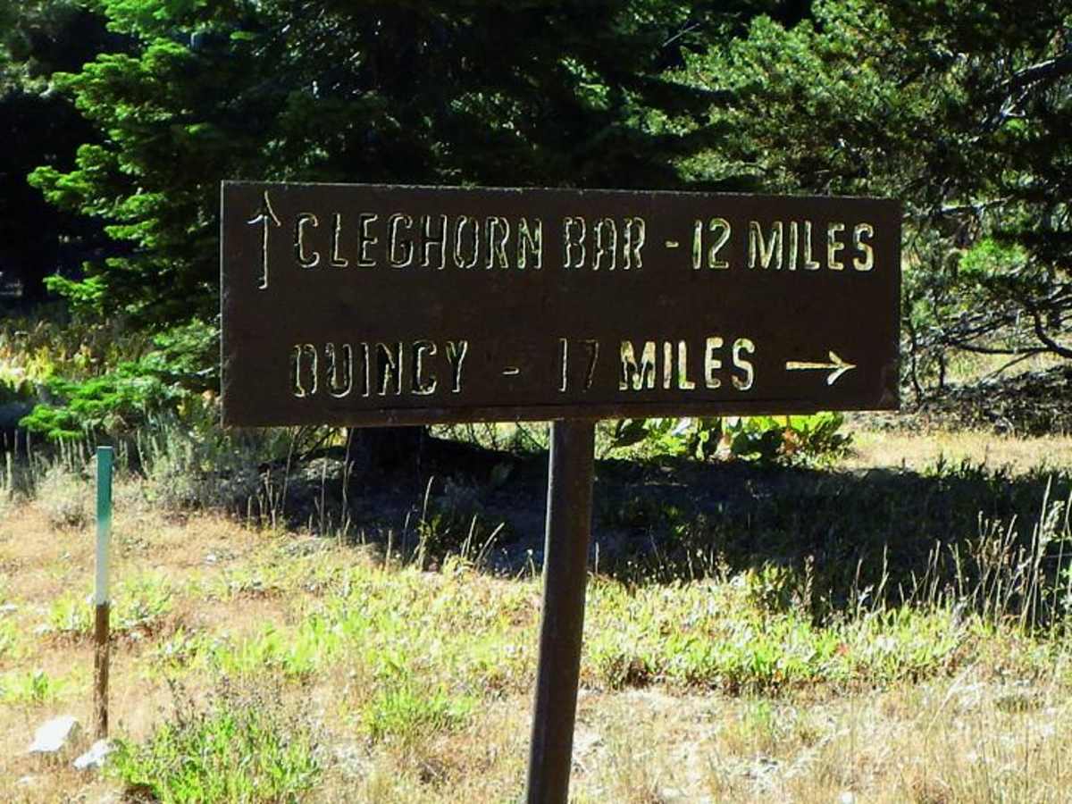
Cleghorn Bar Map

The onX Offroad Difference

onX Offroad combines trail photos, descriptions, difficulty ratings, width restrictions, seasonality, and more in a user-friendly interface. Available on all devices, with offline access and full compatibility with CarPlay and Android Auto. Discover what you're missing today!

Open Trail Map