Trail Overview
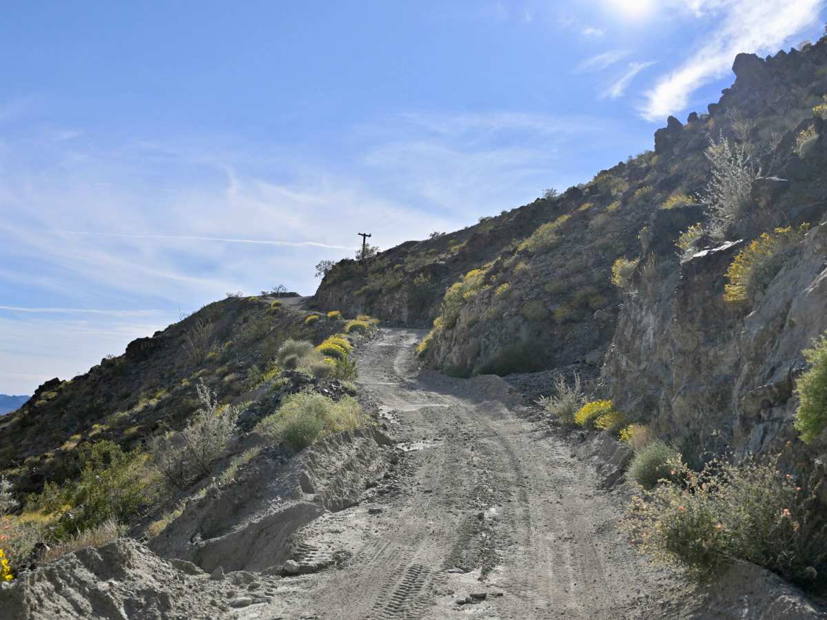
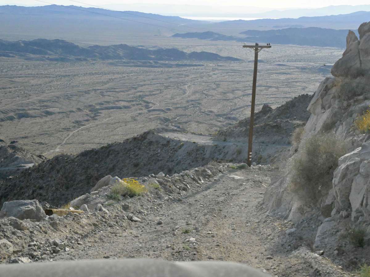
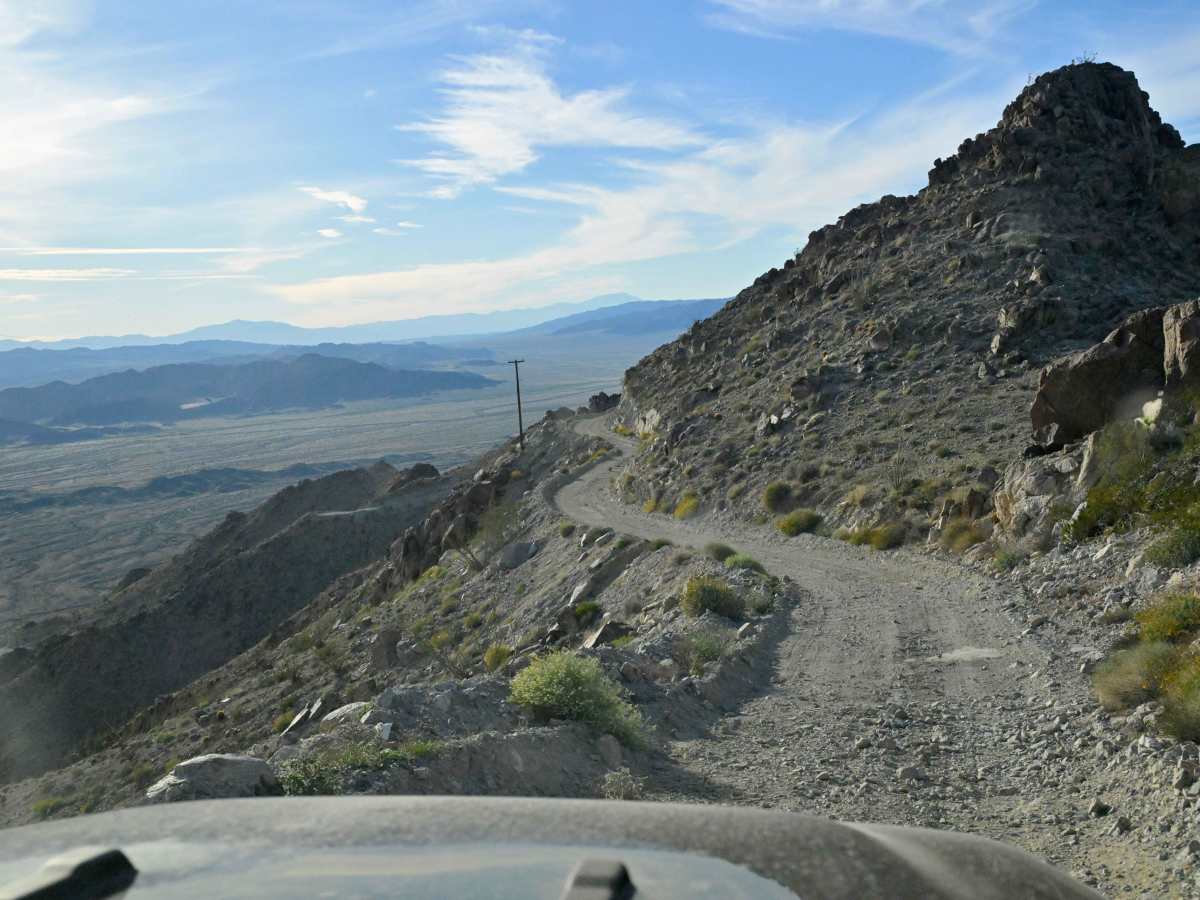
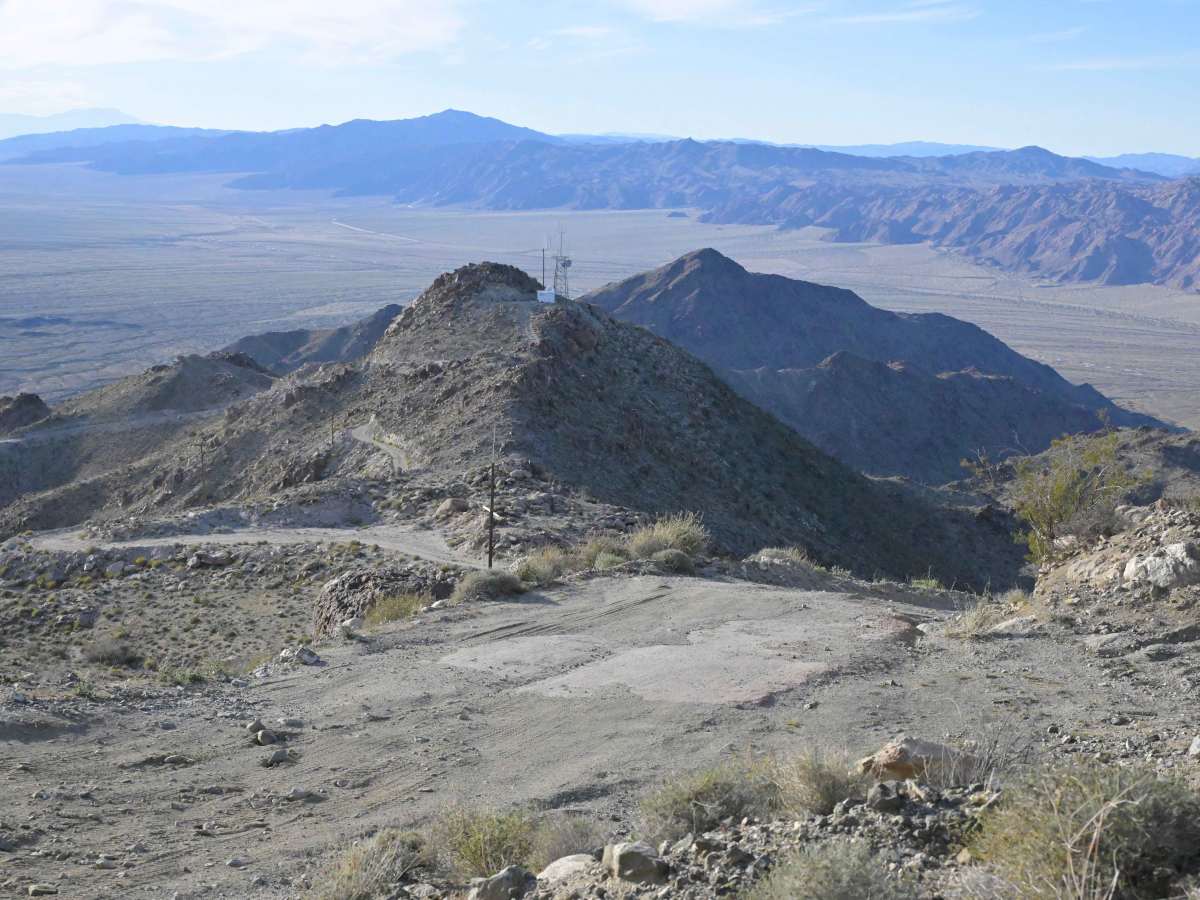
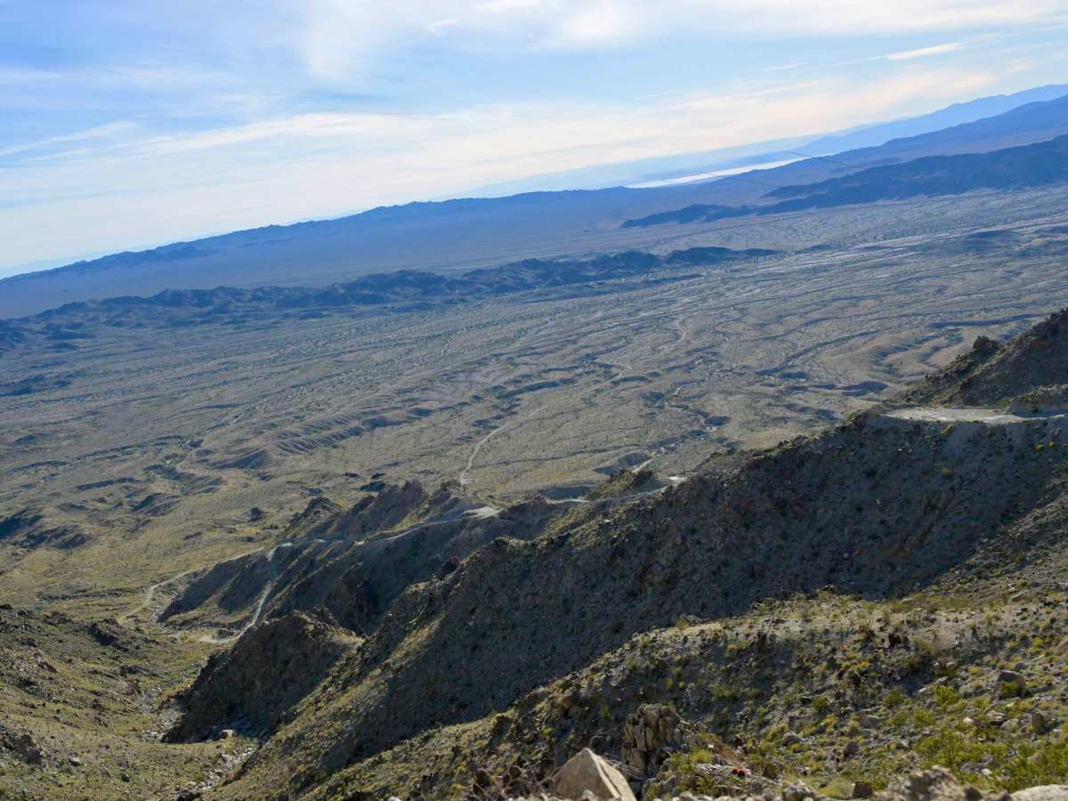
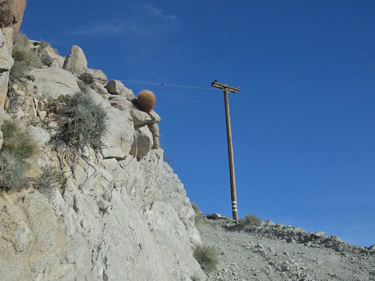
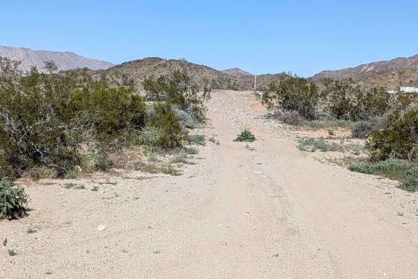
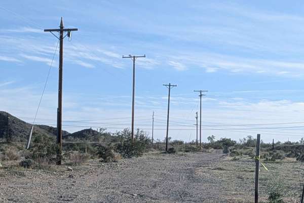
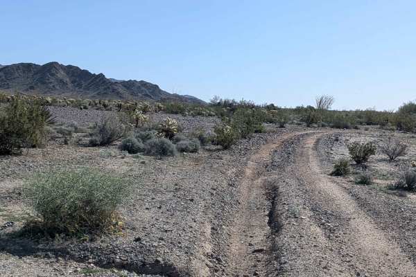
This is a 3.8 miles each way out and back trail rated 4 in the Chuckwalla Mountains Wilderness. Crazy elevation gain? Check. Shelf Road? Check. Pucker factor? Indeed. You know those towers on top of that big peak that you've been seeing for miles? That's where you're going if you traverse this trail. The trail starts pretty sedate for the first two miles. Some small cobble rocks, some washes, some narrow trail. At the end of those couple of miles, you come to a canyon on your left, then a 180-degree turn to a gate. At this point, the fun begins. For the next 1.8 miles, you're looking at loose rock, blind turns, a daunting look over the edge for any passenger, and a grade that exceeds 25% in spots. You're looking at nearly 1800 feet of elevation gain in 1.8 miles. The key is 4WD, geared down, and maintain momentum. The views from the top are unrivalled. You can see to the far side of the Salton Sea in one direction, and the Blythe area in the other. Commanding view is an understatement. Background on this trail: It's a service corridor for the towers with legal access carved by the BLM through the Chuckwalla Wilderness, where other vehicle traffic is forbidden. You may encounter service trucks to/from the towers. If you do, be sure to give them full right of way. If on the final stretch up the mountain you see them, it's advised to find one of the few pull-offs and let them pass. It is advisable to only do this trail as a small group, as parking at the top is not abundant. At the end of the day, minimizing conflict with the service crews will be the key to the gate at the bottom being open rather than locked.
History
Exists as a service road to service the towers on Chuckwalla Peak that serve the FAA, CalFire, and Desert Center