Canebrake Road

Total Miles14.7
Technical Rating
2Easy
Best TimeSpring, Summer, Fall
Trail TypeFull-Width Road
Accessible By
Open Trail Map

Trail Overview

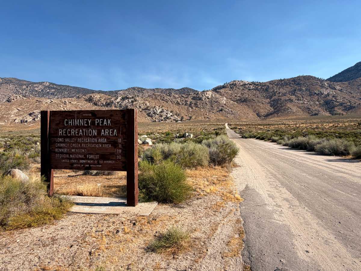
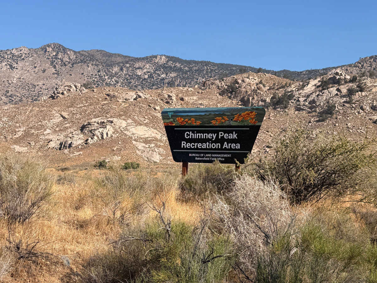
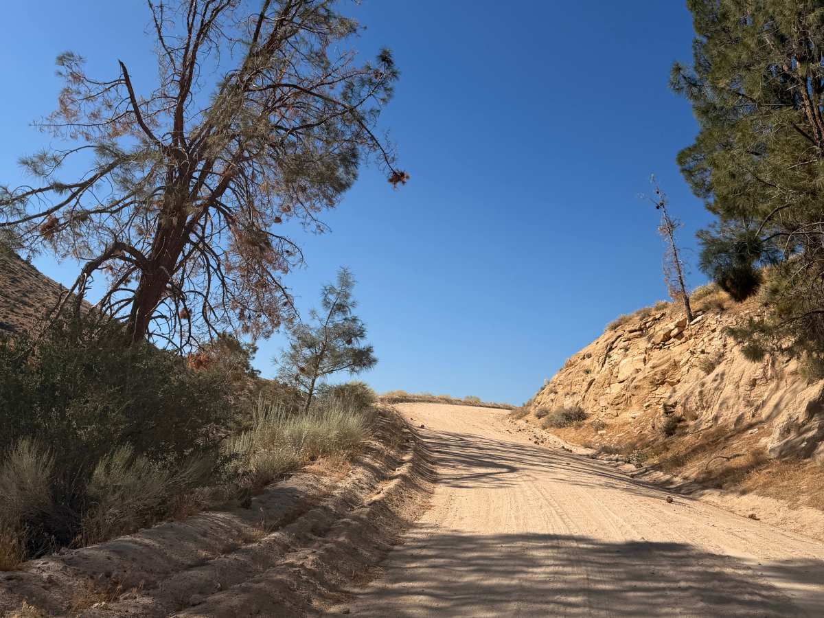
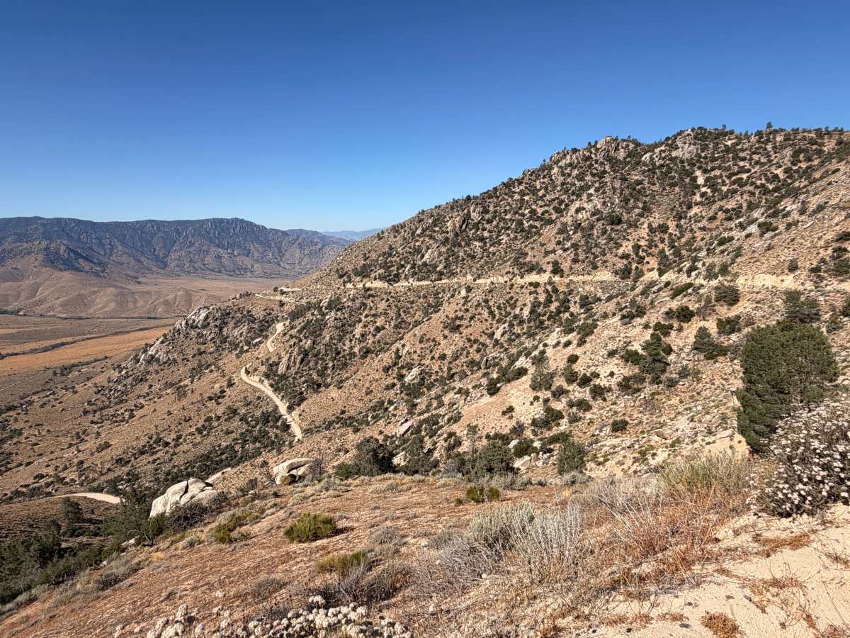
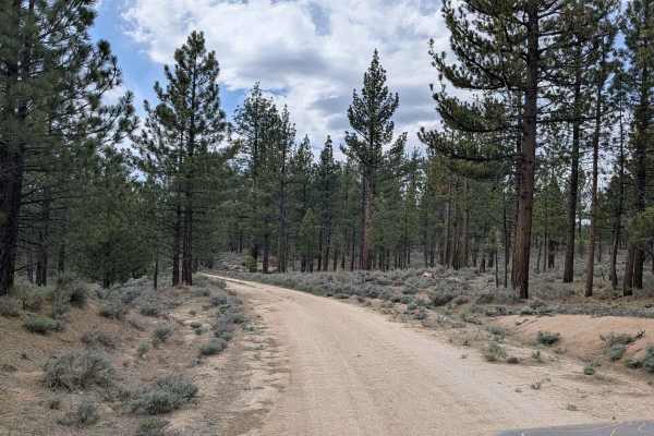
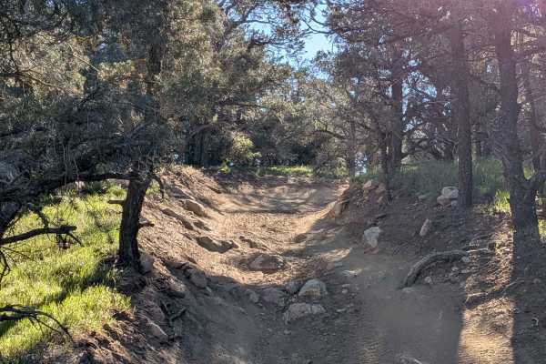
Canebrake Road climbs from the high desert along Highway 178 into the remote backcountry of the southern Sierra Nevada, providing access to the Chimney Peak Recreation Area. The route begins in the small community of Canebrake and winds through rugged hillsides dotted with sagebrush, pinyon pine, granite outcrops, and expansive views of the South Fork Kern River Valley. The road is generally well-graded and suitable for most high-clearance vehicles in dry weather. Along the drive, you'll pass access points for the Domeland, Owens Peak, and Chimney Peak Wilderness Areas, as well as trailheads leading to the Pacific Crest Trail

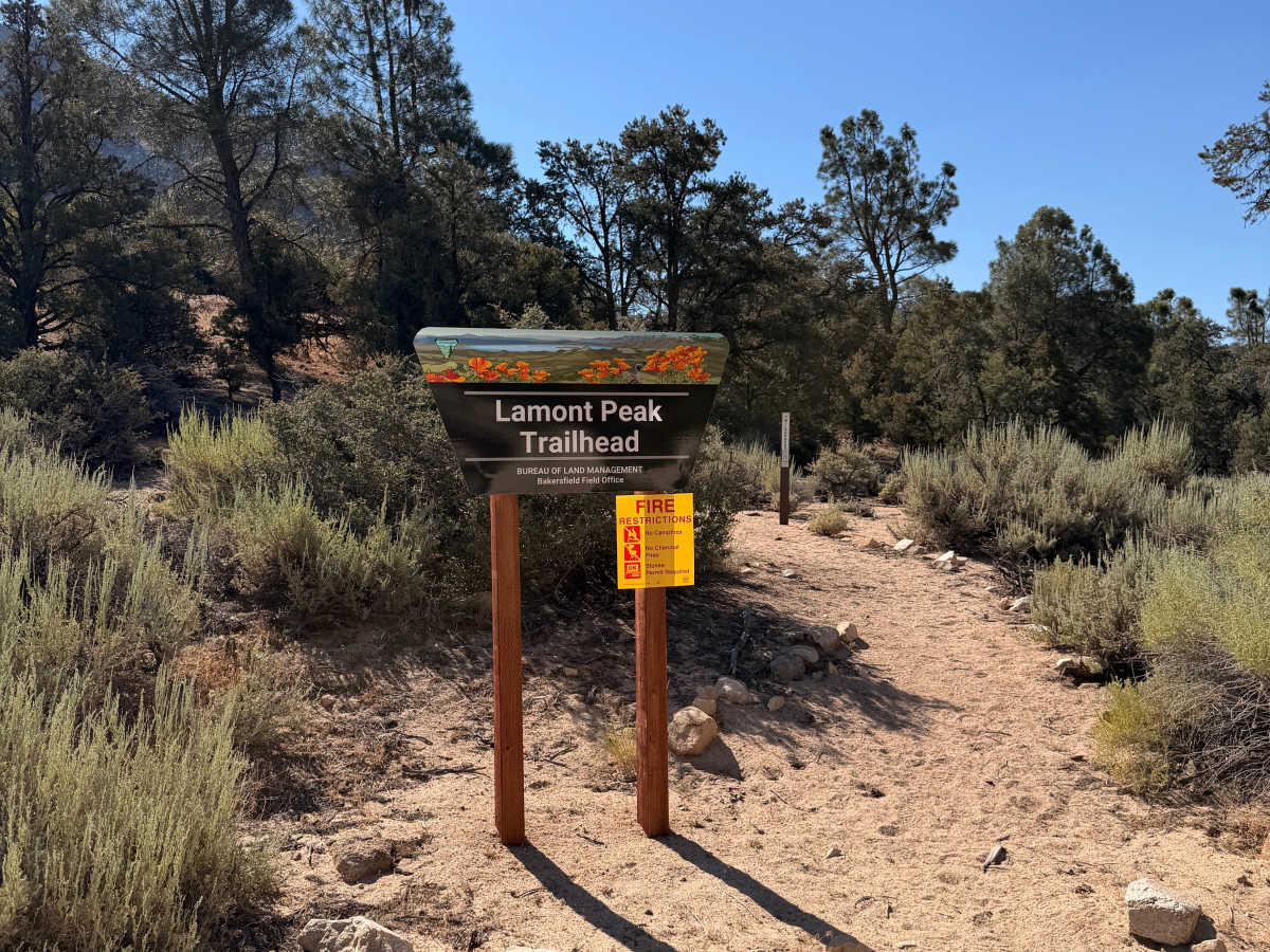
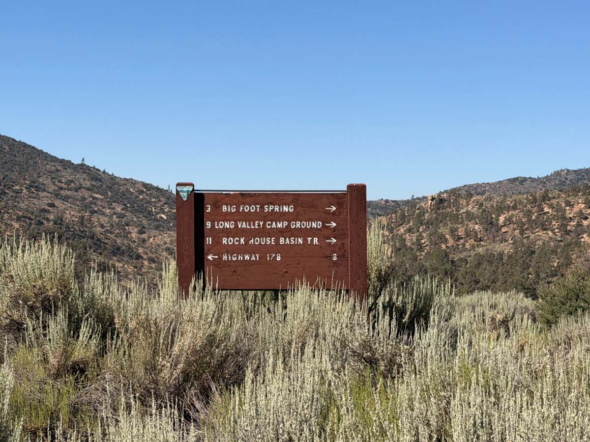
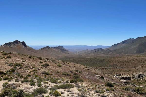
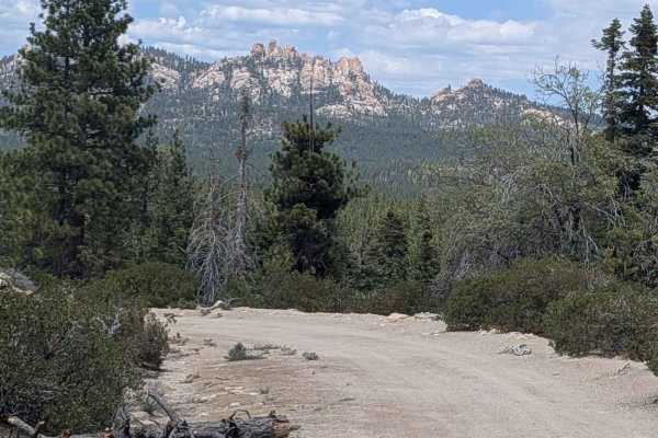
Photos of Canebrake Road

Difficulty

High-clearance vehicle recommended. 4WD is generally not required in dry conditions, but can be helpful after storms or when exploring side roads. The trail is doable in most vehicles, but can become rutted after rain.

Technical Rating

2

Canebrake Road Trail can be accessed by the following ride types:

  • Single Track
  • 50 Inch
  • 60 Inch
  • High Clearance
  • Full Width

Canebrake Road Map

The onX Offroad Difference

onX Offroad combines trail photos, descriptions, difficulty ratings, width restrictions, seasonality, and more in a user-friendly interface. Available on all devices, with offline access and full compatibility with CarPlay and Android Auto. Discover what you're missing today!

Open Trail Map