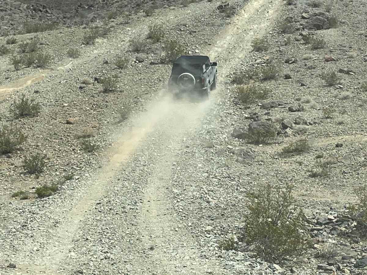
Bronco Knoll

Total Miles 14.2
Technical Rating
4 Moderate
Best Time Spring, Fall
Trail Type High-Clearance 4x4 Trail
Accessible By
Open Trail Map

Trail Overview

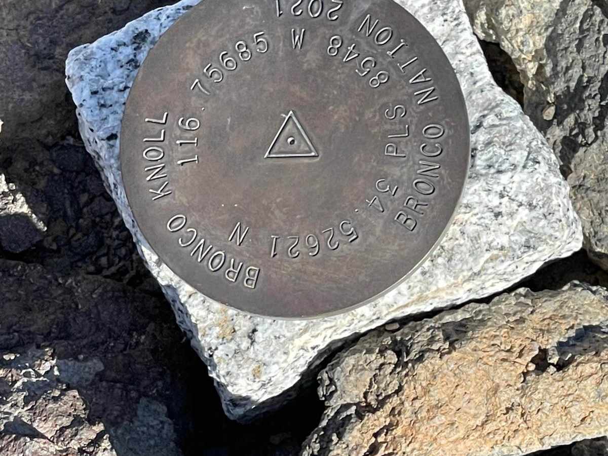
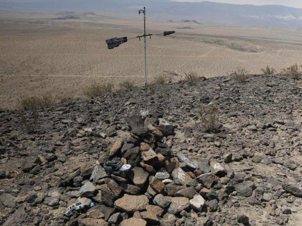
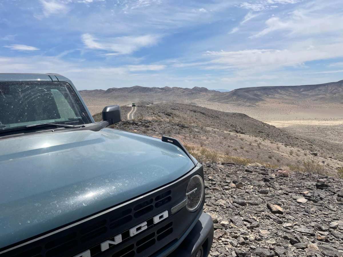
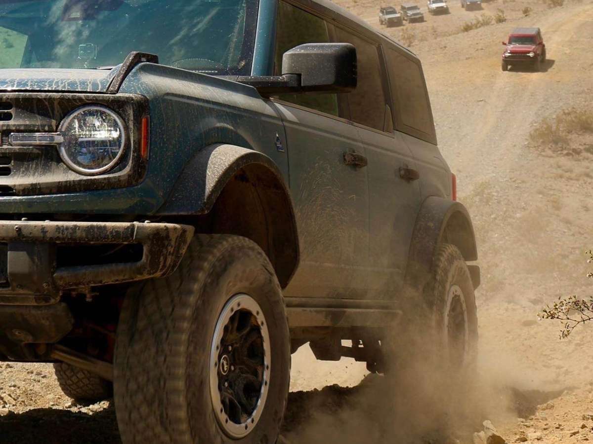
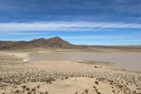
Bronco Knoll is the place where Ford did some of the testing for the new Generation 6 Ford Bronco. The coordinates for Bronco Knoll are an easter egg on all of the Gen 6 Broncos, thus making Bronco Knoll a bucket list item for anyone who owns a Bronco, particularly a Gen 6 Bronco. Bronco Knoll is located in Johnson Valley OHV in the Lucerne Valley desert of southern California on top of a small hill about 500 feet above the surrounding valley. To get to Bronco Knoll, you enter the area via Transmission Line Road which is usually a well-graded dirt road but can get washed out after the winter rains. You know you've arrived at the trail leading up to the top of Bronco Knoll because it looks like a turkey claw located to the left of the road leading up the hill. The trail up the hill is made up of mainly loose dirt and rocks, with an occasional small step. It's a little steep but can be done in any high-clearance 4x4 with at least 33-inch tires. A locker makes it a lot easier, but isn't necessary. The route down on the "backside" has a lot more rocks and ledges, but since you're going downhill, you just have to pick your line carefully and maintain good speed control and you will be fine. Finally, the last stretch back to pavement is a good chance for some higher-speed desert running.

Photos of Bronco Knoll

Difficulty

The trail up to Bronco Knoll is a moderately steep hill climb with loose dirt and rocks with the occasion small step.

Technical Rating

4

Status Reports

Add Status Report
Orlando T
Feb 14, 2026
Open
The descent from the Knoll has alot of washout and is in a bit of rough shape. It was doable but attention had to be paid the final 25% of the trail.
Kristian Brown
May 25, 2025
Open
Lots of whoops on the flat roads going in and out. The way up is steep but not super technical. Attempted to continue following the route but the trail got pretty difficult and diverged from the gps track about 800 yards in. If you want to continue down the back side, I’d recommend following the trail down that is about .35 miles from Bronco knoll, it’ll be on the right. That one was pretty tame and not very steep.
Nathan F
Jan 28, 2025
Open
This trail is very steep so if you are not comfortable with inclines then I do not recommend. Also this trail has a lot of whoops. Like so many that I almost just turned around. The whoops start after the cougar buttes. There are many off shoots to different trails if you decide the hill is too steep. Enjoy!

Bronco Knoll Trail can be accessed by the following ride types:

  • High Clearance

Bronco Knoll Map

The onX Offroad Difference

onX Offroad combines trail photos, descriptions, difficulty ratings, width restrictions, seasonality, and more in a user-friendly interface. Available on all devices, with offline access and full compatibility with CarPlay and Android Auto. Discover what you're missing today!

Open Trail Map