Trail Overview
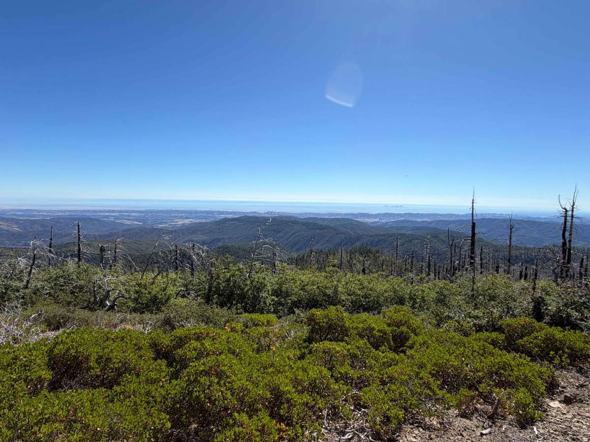
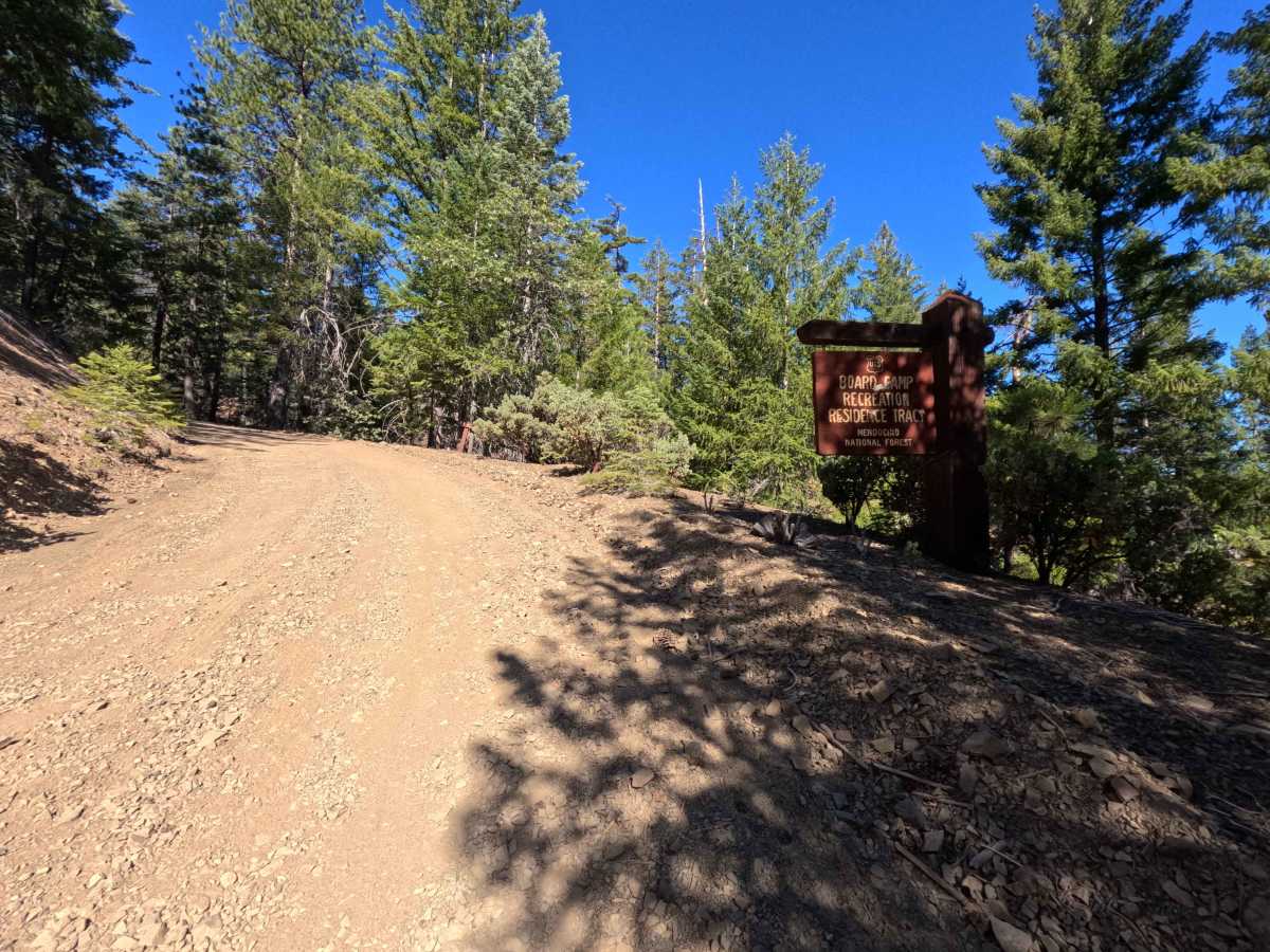
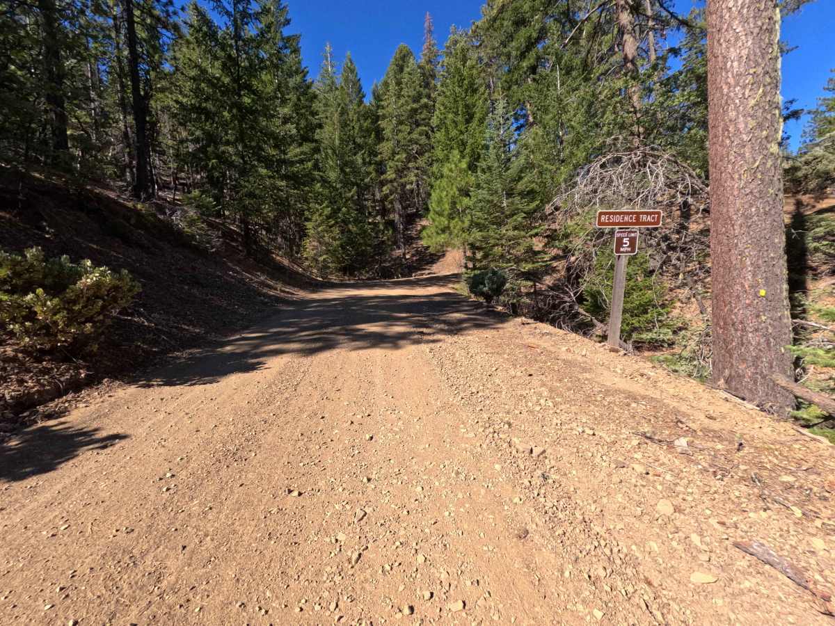
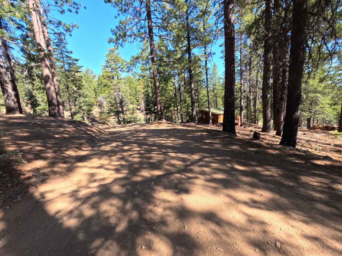
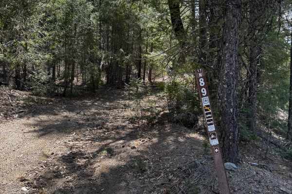
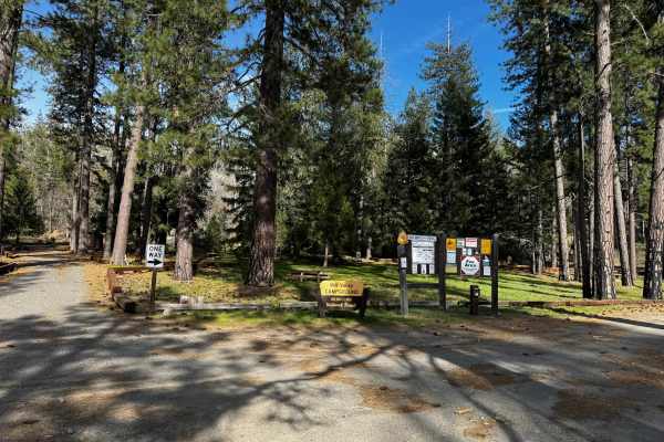
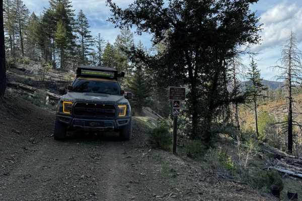
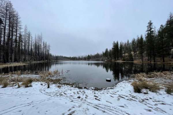
Set along high mountain crests and timbered slopes recovering from the 2018 Ranch Fire within the Mendocino National Forest, Board Camp Ridge - FS 17N10 delivers a captivating and varied backcountry mountain drive. Accessed as a direct continuation of FS 17N09 at the entry sign for the Board Camp Recreation Residence Tract, this 2.4-mile mountain track climbs steeply along the ridge to serve as a vital connector providing throughput deeper into connected forest roads and OHV trails. Public land visitors frequently travel this route to access historic forest cabins, establish spacious primitive campsites, hike a short foot trail to a nearby summit peak, or take in panoramic vistas spanning the western valleys and southeastern mountain ridges. The road surface consists of a well-traveled dirt and gravel track that grows increasingly rugged past a seasonal gate. Departing the cabin tract, the road climbs past scattered dispersed campsites to reach a seasonal gate at 1.3 miles. Above the gate, the path traverses alpine meadows, passes a short summit trail head, and navigates through a series of washouts and ruts before reaching a vast camping flat at 2.3 miles and concluding at the upper trail junction.
Difficulty
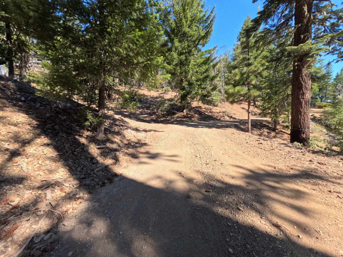
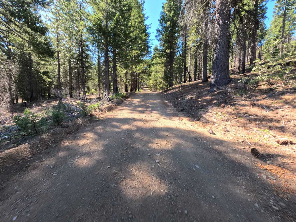
This ridge route becomes increasingly challenging once past the 1.3-mile seasonal gate. As shown in the photos, primary obstacles include loose shale and slate rock inclines, deep side-hill erosion washouts, longitudinal ruts running along the track, and a steep, manageable deep rut near the 2.3-mile mark. Drivers should maintain a slow, steady pace, straddle longitudinal trenches rather than dropping wheels into them, select elevated lines over loose rock ledges, and apply continuous, gentle throttle on the loose uphill pitches.

 Offroad