Trail Overview
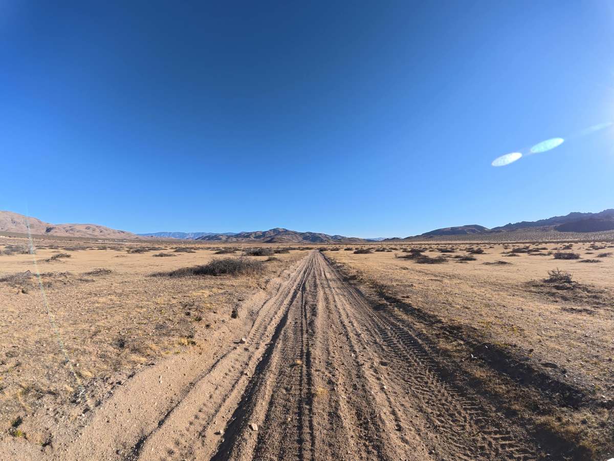
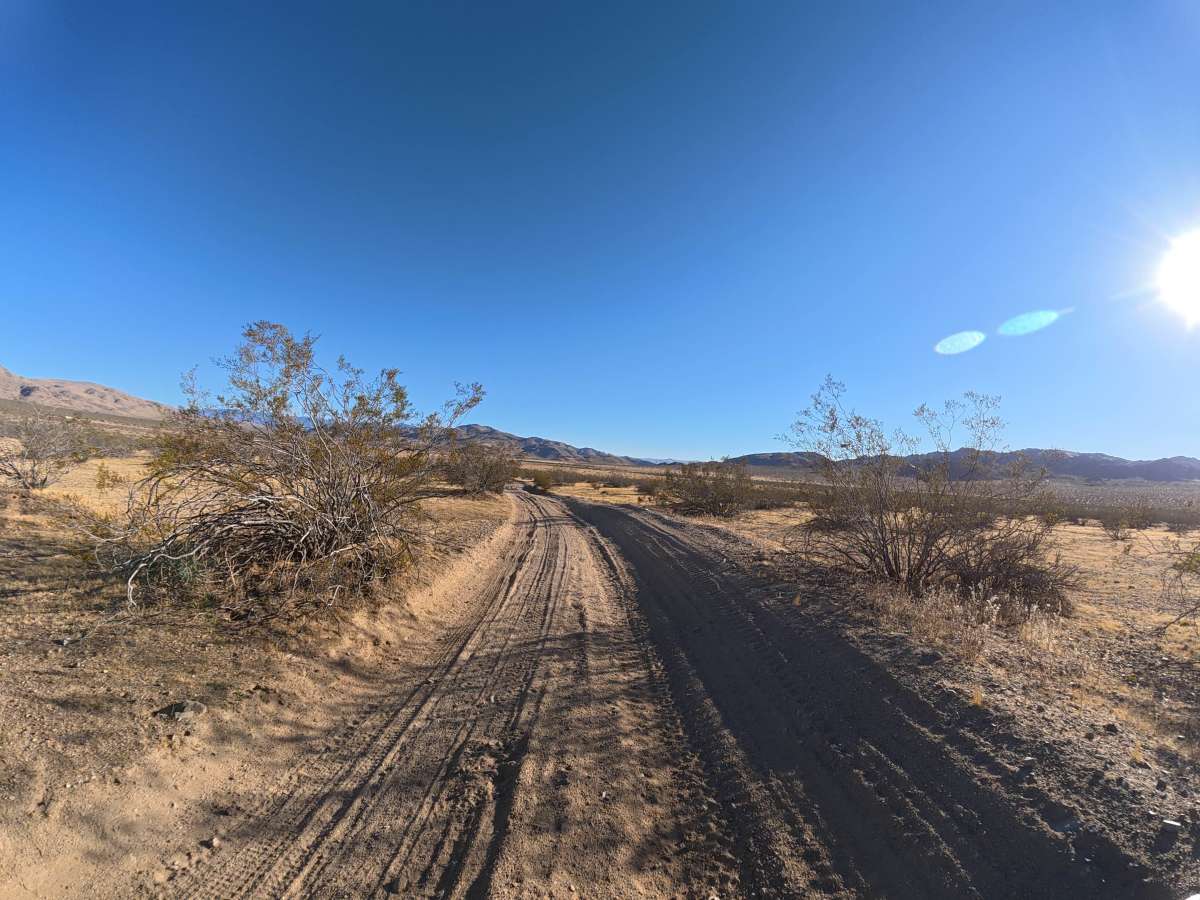
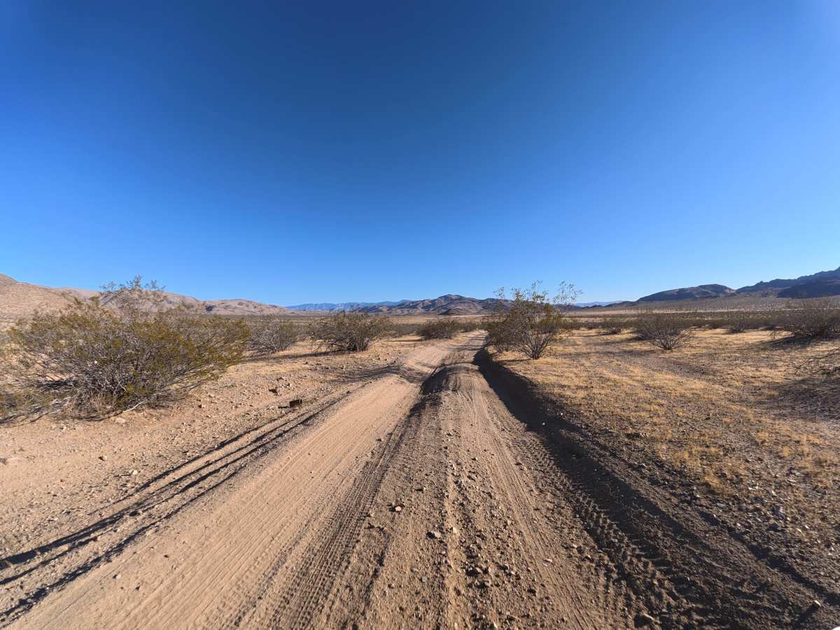
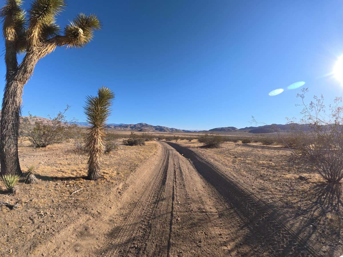
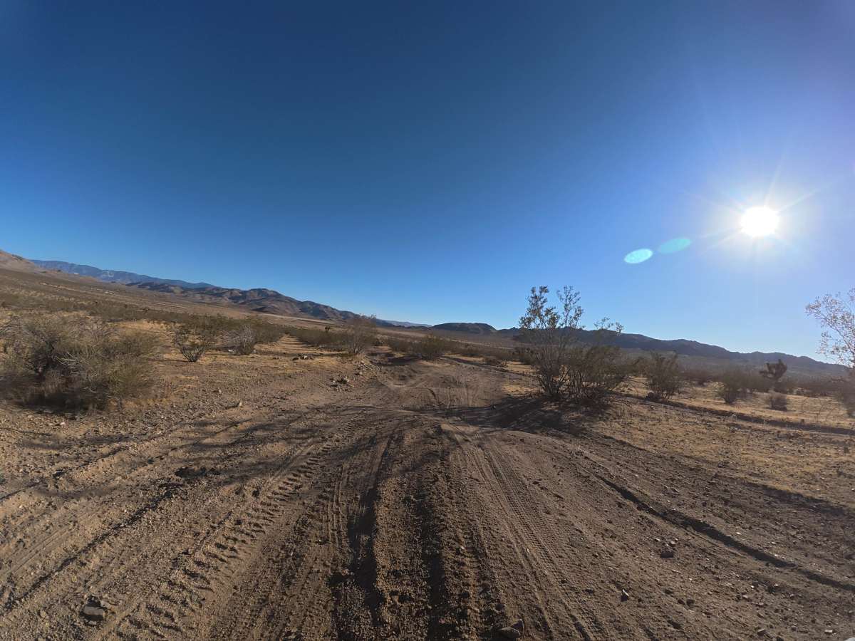
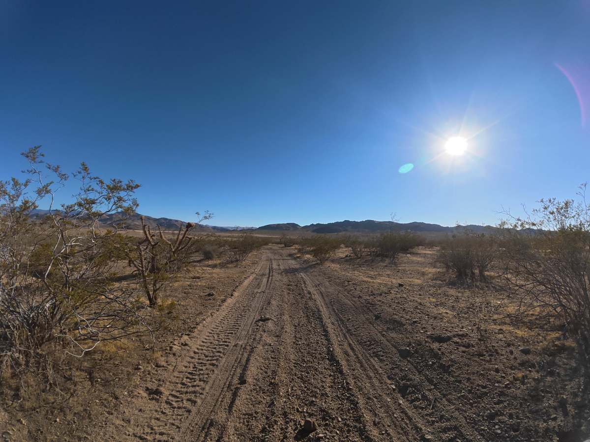
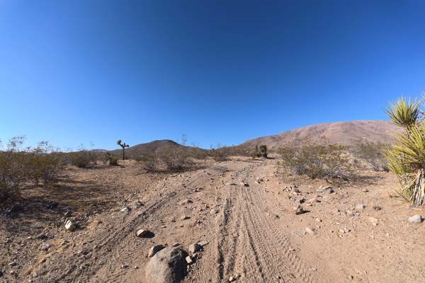
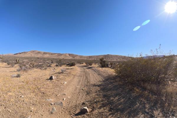
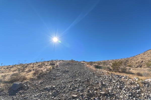
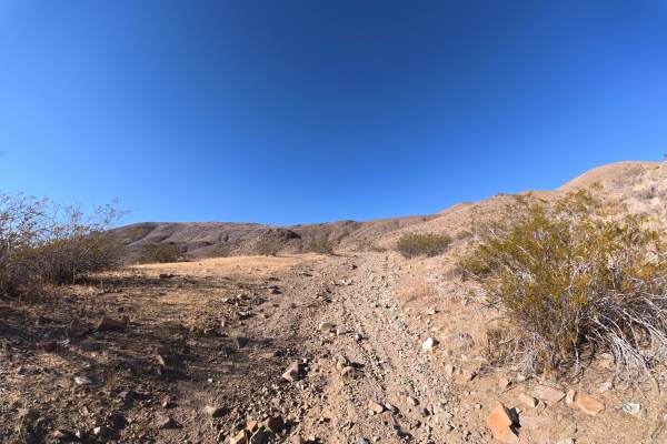
BLM SV2633 travels over fine, loose sand that can become more difficult when wet. The trail is narrow with overgrown vegetation, although pinstriping is generally avoidable. Ruts begin around 2–3 inches deep, but around 0.5 miles, the wash and ruts deepen to 12–14 inches, with sections reaching approximately 8° off-camber. The route travels toward and through the hills with excellent views of the Sawtooth Hills, surrounding mountains, and desert. Around 0.6 miles, camping becomes abundant, with more than eight level campsites accommodating multiple vehicles and offering expansive desert and mountain views.
Difficulty
This trail is rated Level 2 because of its loose sandy surface, narrow terrain, 12–14-inch ruts, and washed-out sections reaching 8° off-camber. Careful driving is required through the deeper washes, but the route remains relatively mild overall.
History
The BLM lands around Sawtooth Canyon reflect the long history of California’s Mojave Desert, where Indigenous peoples traveled and lived for thousands of years before miners, ranchers, and settlers arrived in the 1800s. The surrounding desert also contains remnants of the region’s mining and homesteading era, while its rugged volcanic rock formations preserve a much older geologic history.

 Offroad