Trail Overview
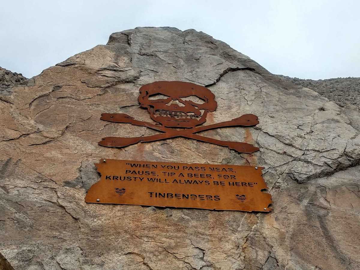
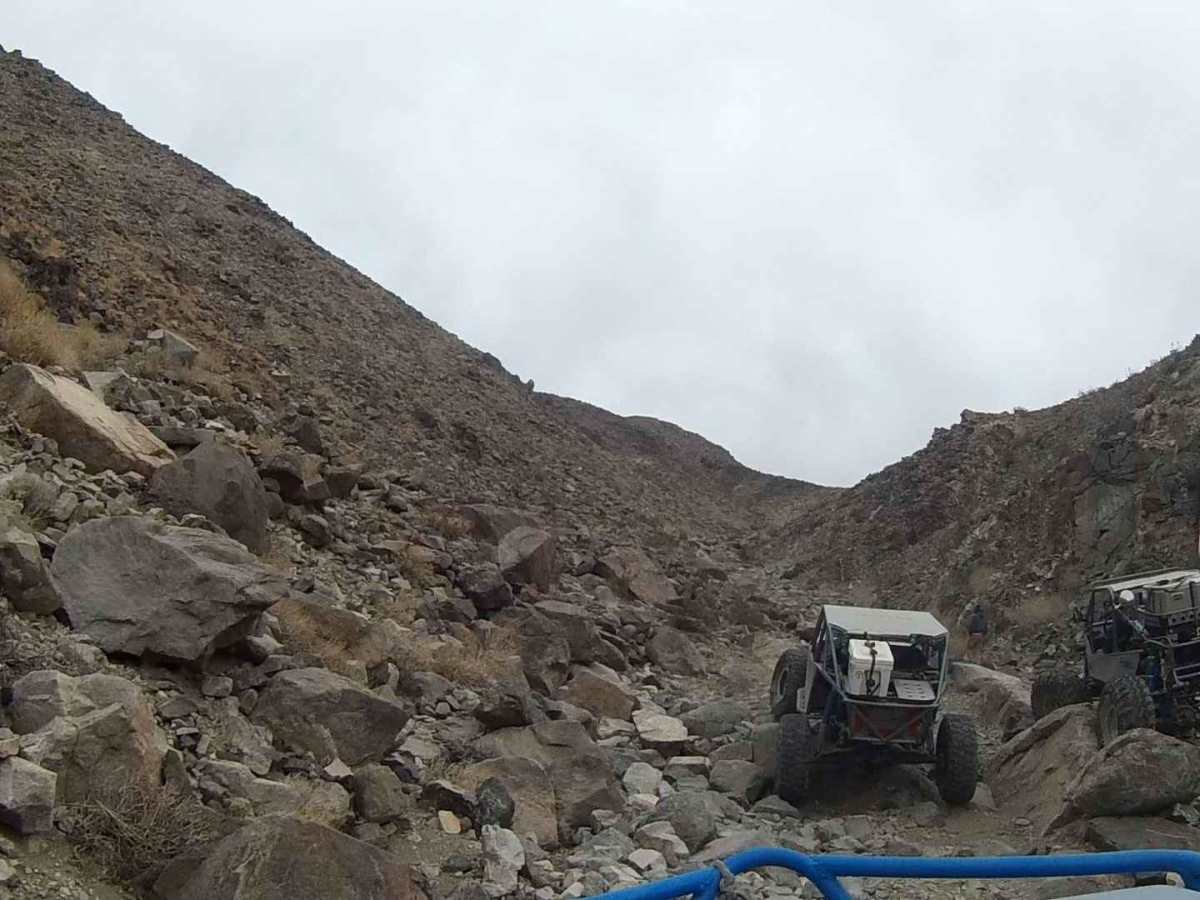
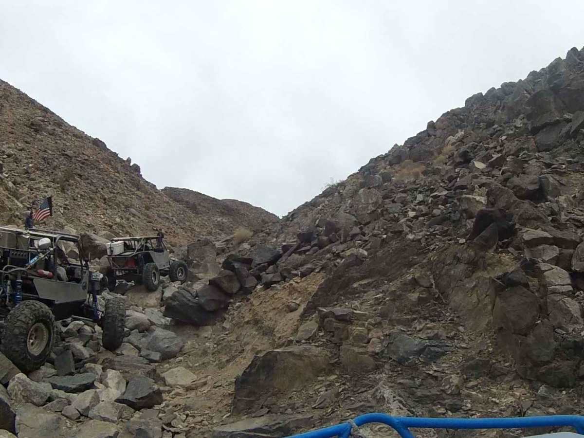
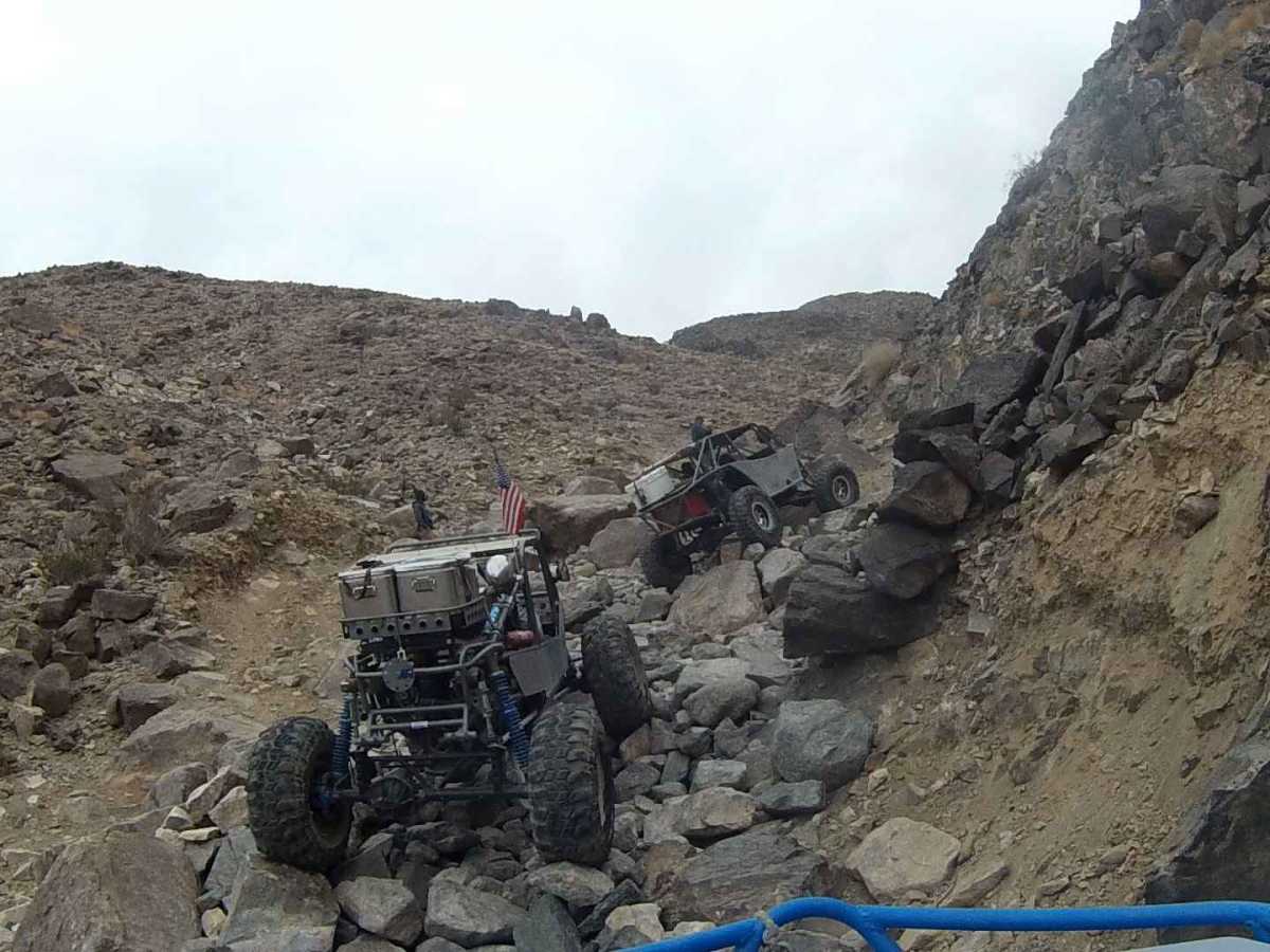
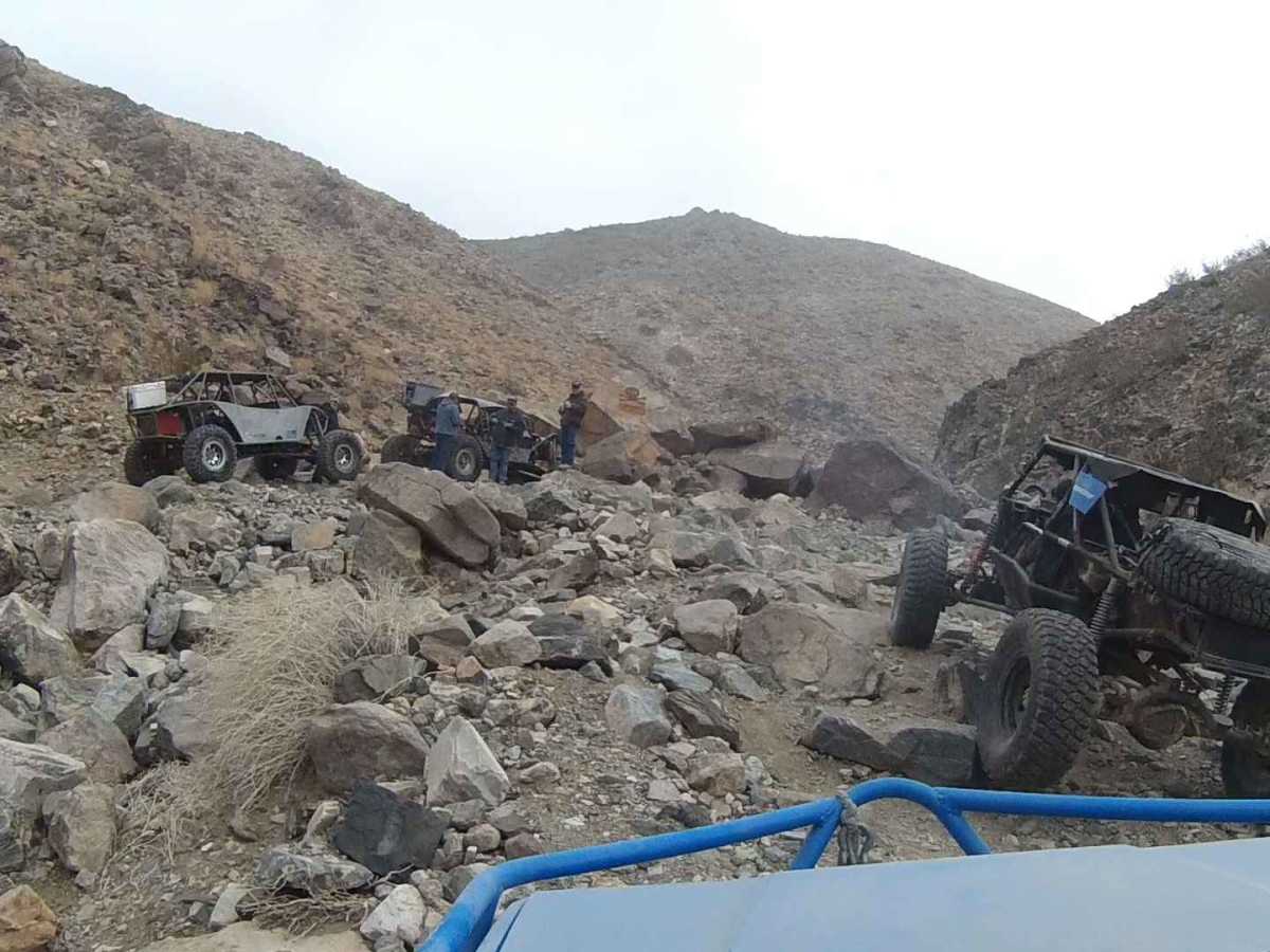
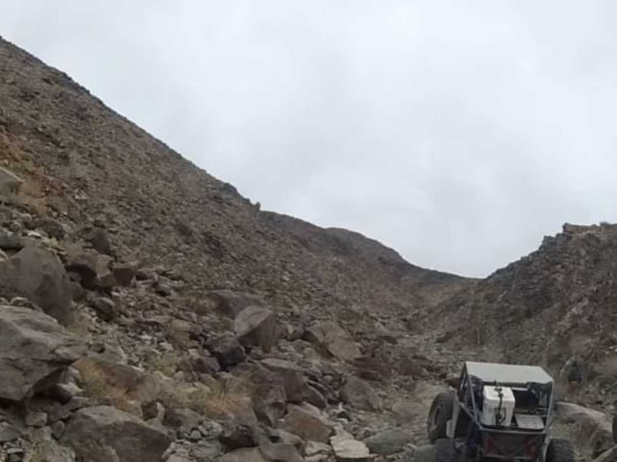
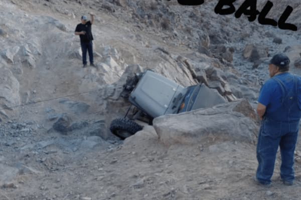
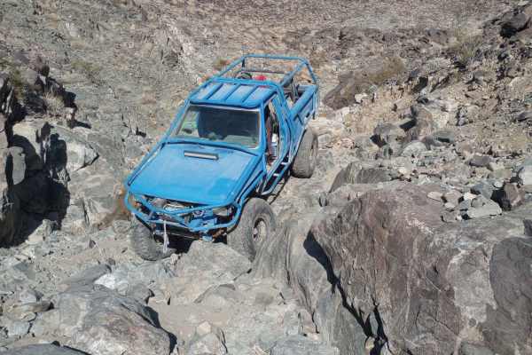
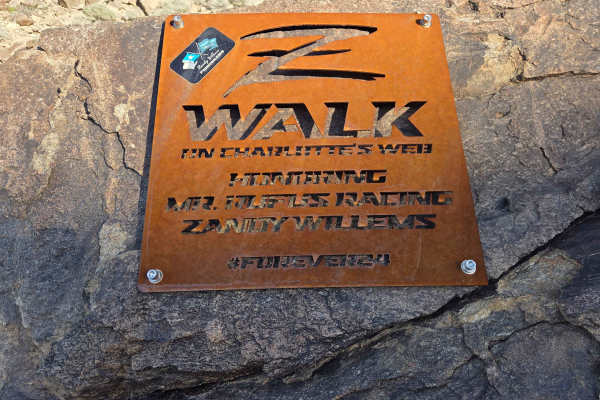
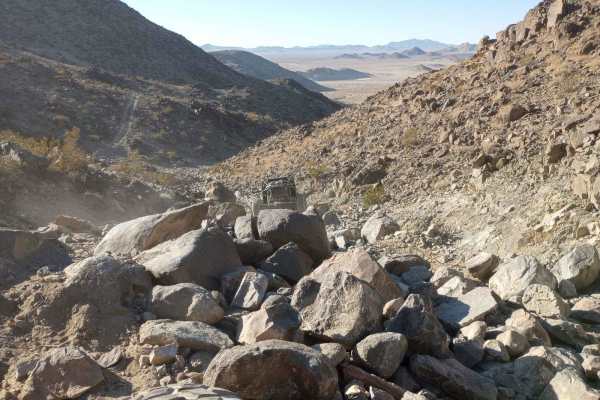
Bender Alley/Tinbenders is a challenging 0.4-mile rock crawling trail in Johnson Valley designed for highly modified four-wheel-drive vehicles and built SxSs seeking an intense, technical challenge with outstanding desert views. Branching off from Wrecking Ball, the trail immediately introduces offroaders to a rocky ascent marked by the official Tinbenders plaque rock. While generally considered slightly less extreme than Wrecking Ball, this route still demands high ground clearance, dual lockers, and robust body protection to navigate its off-camber obstacles and large boulder fields. The trail reaches a maximum elevation of 3,481 feet, offering expansive panoramic vistas of the surrounding Mojave Desert landscape before the descent begins.
The latter half of the route presents a steep, loose descent that drops down toward Jack North, requiring careful wheel placement and controlled braking. This section features a maximum gradient of nearly 39 degrees, making it a test of both driver skill and vehicle stability. Once reaching the intersection with Jack North, drivers can turn left to climb toward Jackhammer or continue toward the Mailbox at the top of Sledgehammer, while a right turn leads down Jack North to the canyon floor. Given the extreme desert temperatures, the best seasons to tackle this trail are fall, winter, and spring, and visitors should ensure their rigs are fully prepped for self-recovery in this remote, rugged OHV area.
Access Description
The trail is located within the federally managed Johnson Valley Off-Highway Vehicle (OHV) area, which is overseen by the Bureau of Land Management (BLM). No access fees or permits are required for recreational day use, but all vehicles must have current registration (such as California green or red stickers for OHVs, or out-of-state equivalent) and whip flags are highly recommended for safety. Be aware of nearby military boundary lines associated with the Twentynine Palms Marine Corps Air Ground Combat Center.