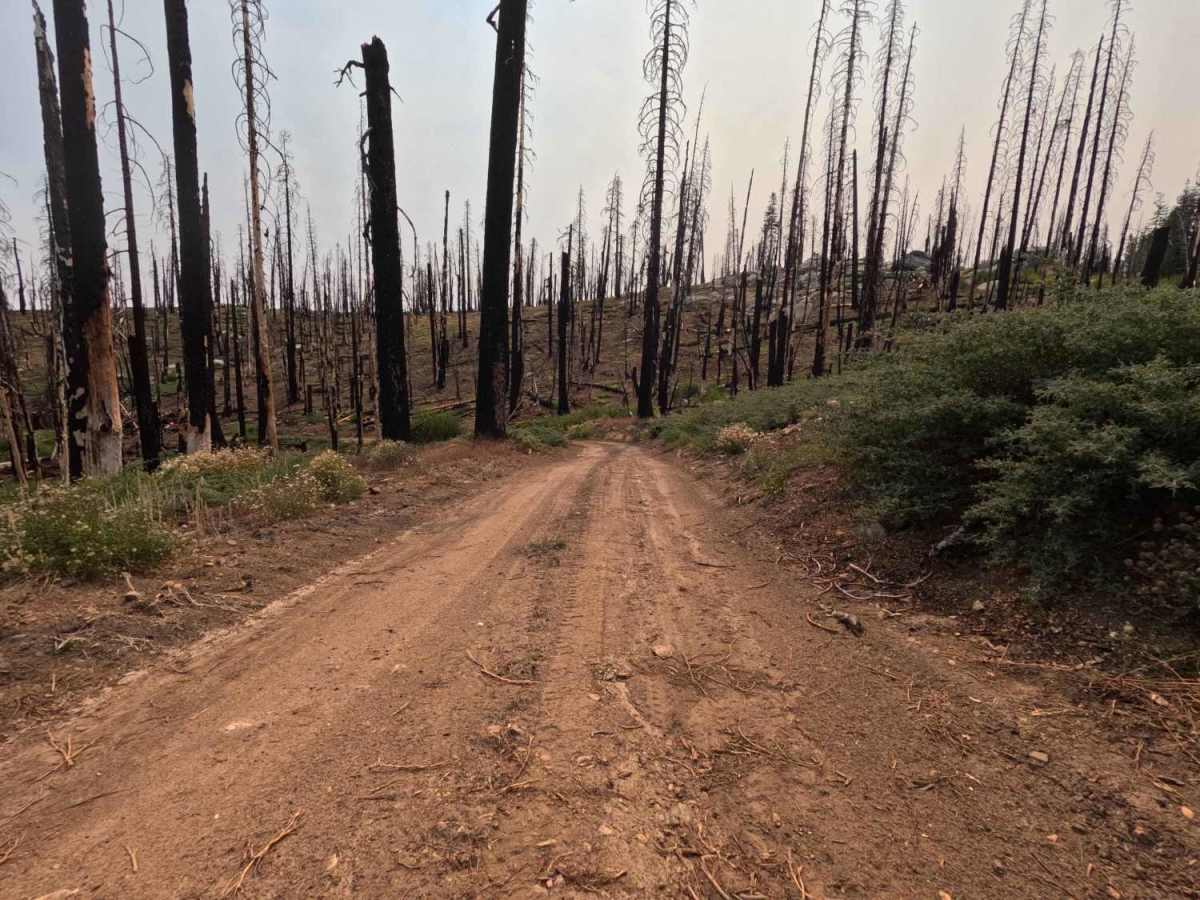
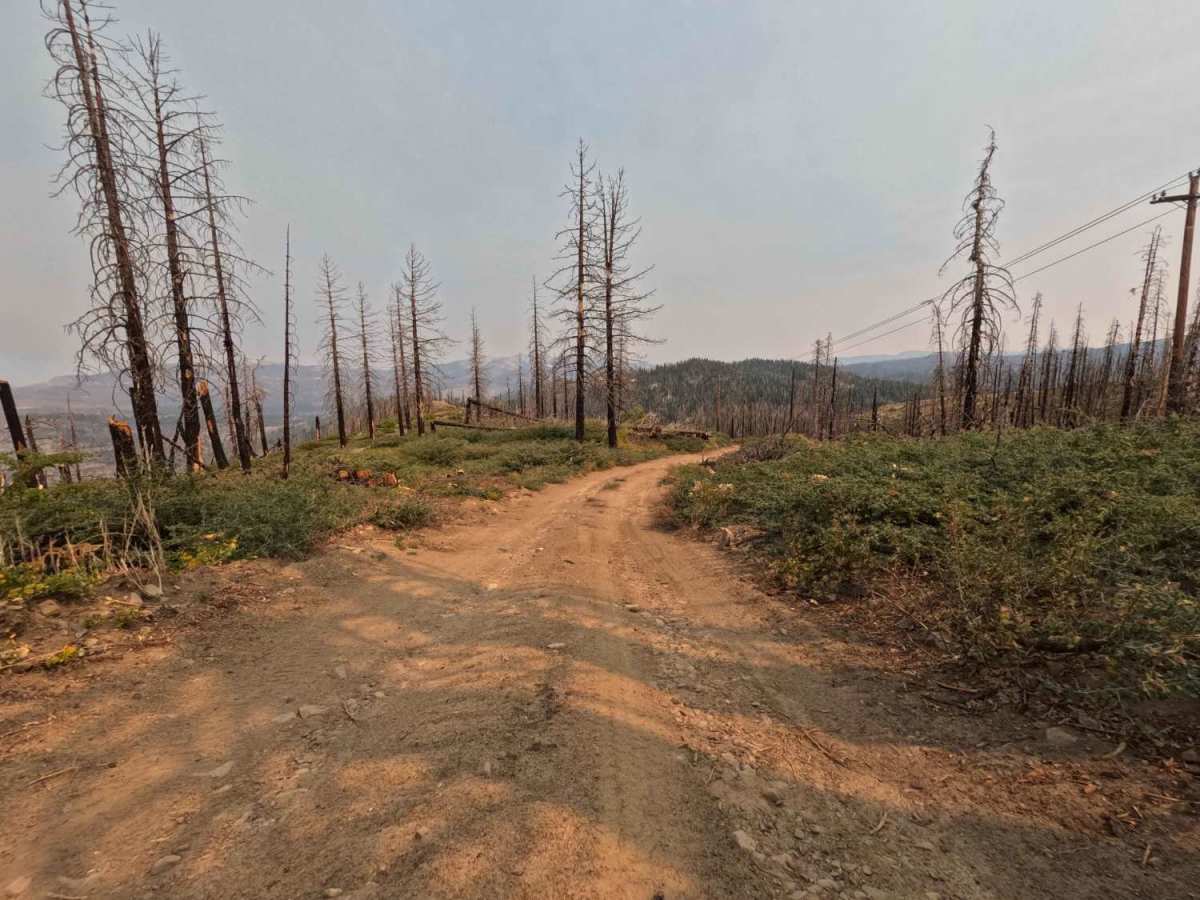
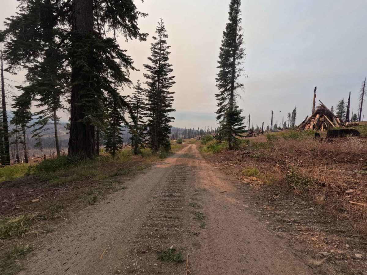
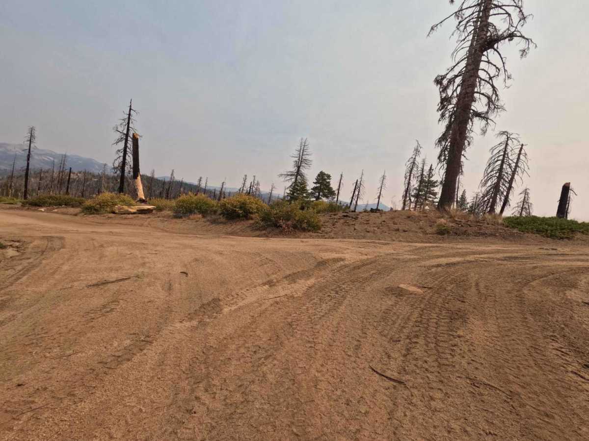
Trail Overview
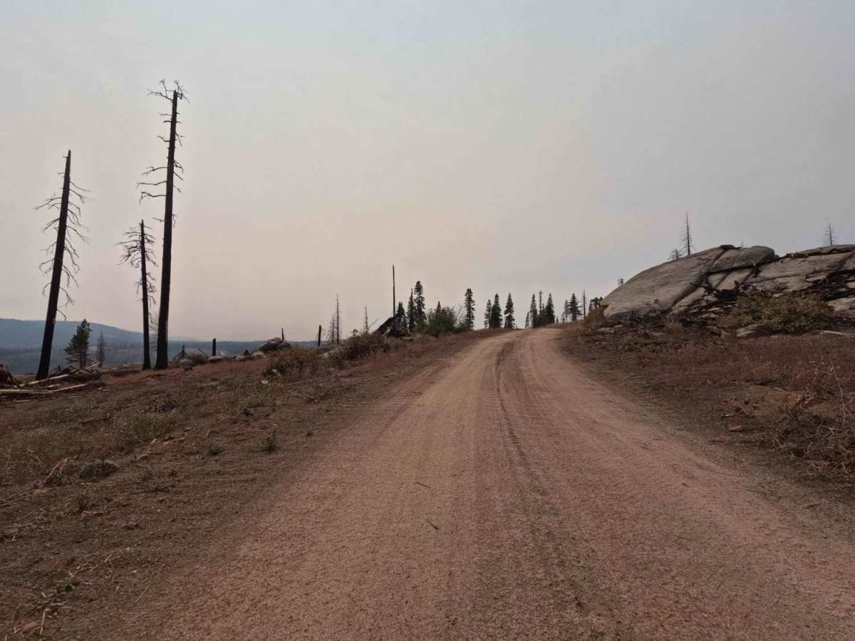
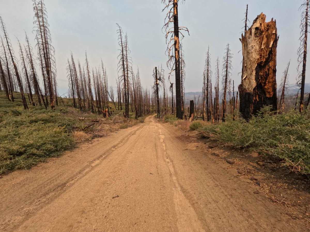
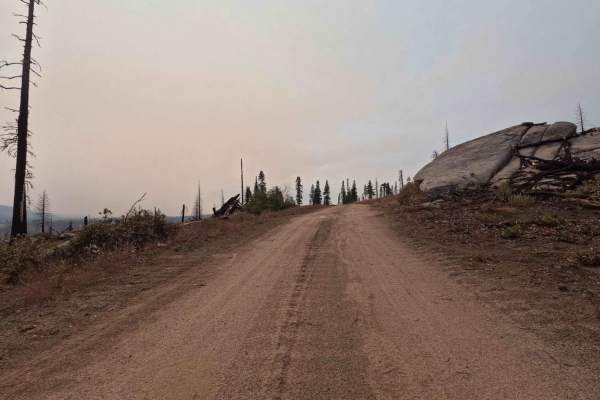
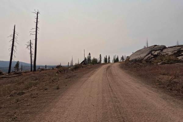
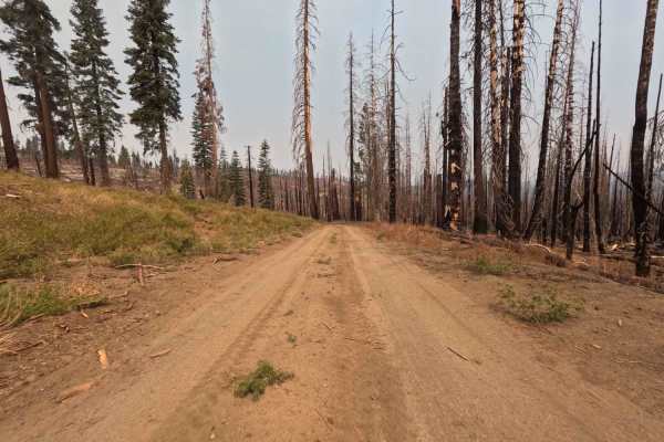
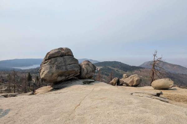
This 1.6-mile forest service road is a high-elevation, single-lane administrative road designed for access to maintain an overhead power line passing through the area. The entire road traverses a highly exposed landscape within the 2020 Creek Wildfire burn scar, creating dramatic vistas but eliminating overhead canopy. The roadbed is wide and graded, consisting mostly of dirt and a few scattered sections of loose gravel; however, frequent sections of occasional embedded rock justify a reduction in speed. The road descends gently towards a dead end above Pitman Creek, which is NOT a good dispersed campsite location because it is directly below the power lines. From this point, Pitman Creek Falls is a .7-mile hike along the creek. This road runs between 7,260' and 7,854' elevation, so it will be covered in snow much of the year. The best time to visit is during the summer and fall.
Difficulty
This trail is navigable by all passenger vehicles when dry, requiring no technical 4WD skill. The R2 rating is assigned solely because of the intermittent embedded rock clusters that necessitate high clearance to maintain tire safety and passenger comfort during the fast traverse. The challenge isn't articulation, but avoiding potential damage from the widely scattered, sharp rocks.