Baker Flat Road - FS 29N41

Total Miles5.1
Technical Rating
3Easy
Best TimeSummer
Trail TypeFull-Width Road
Accessible By
Open Trail Map

Trail Overview

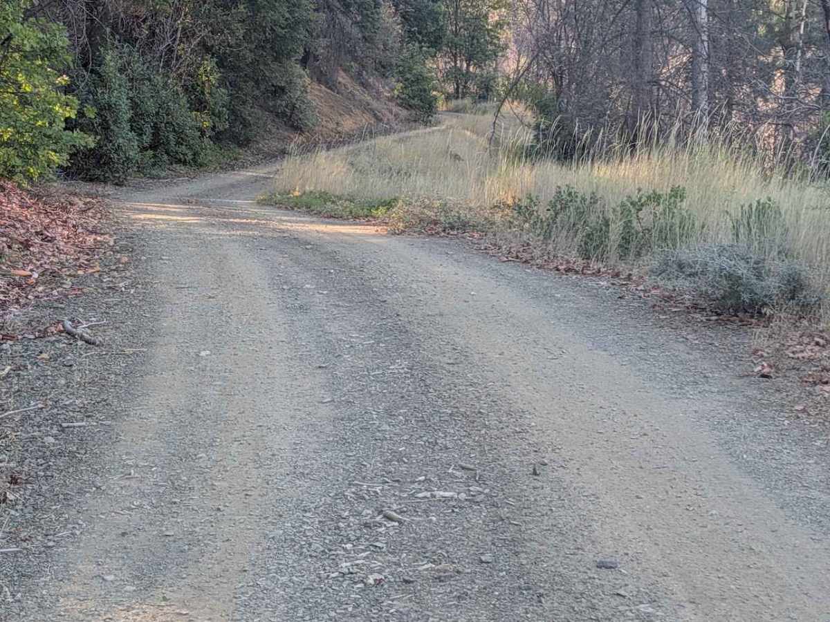
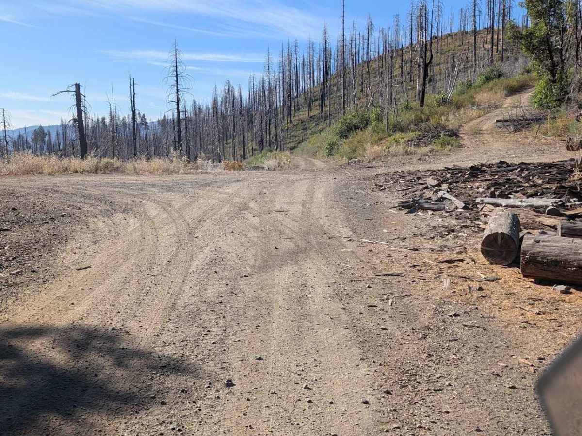
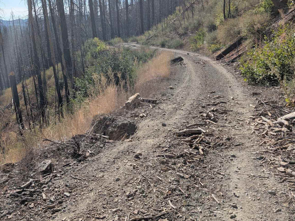
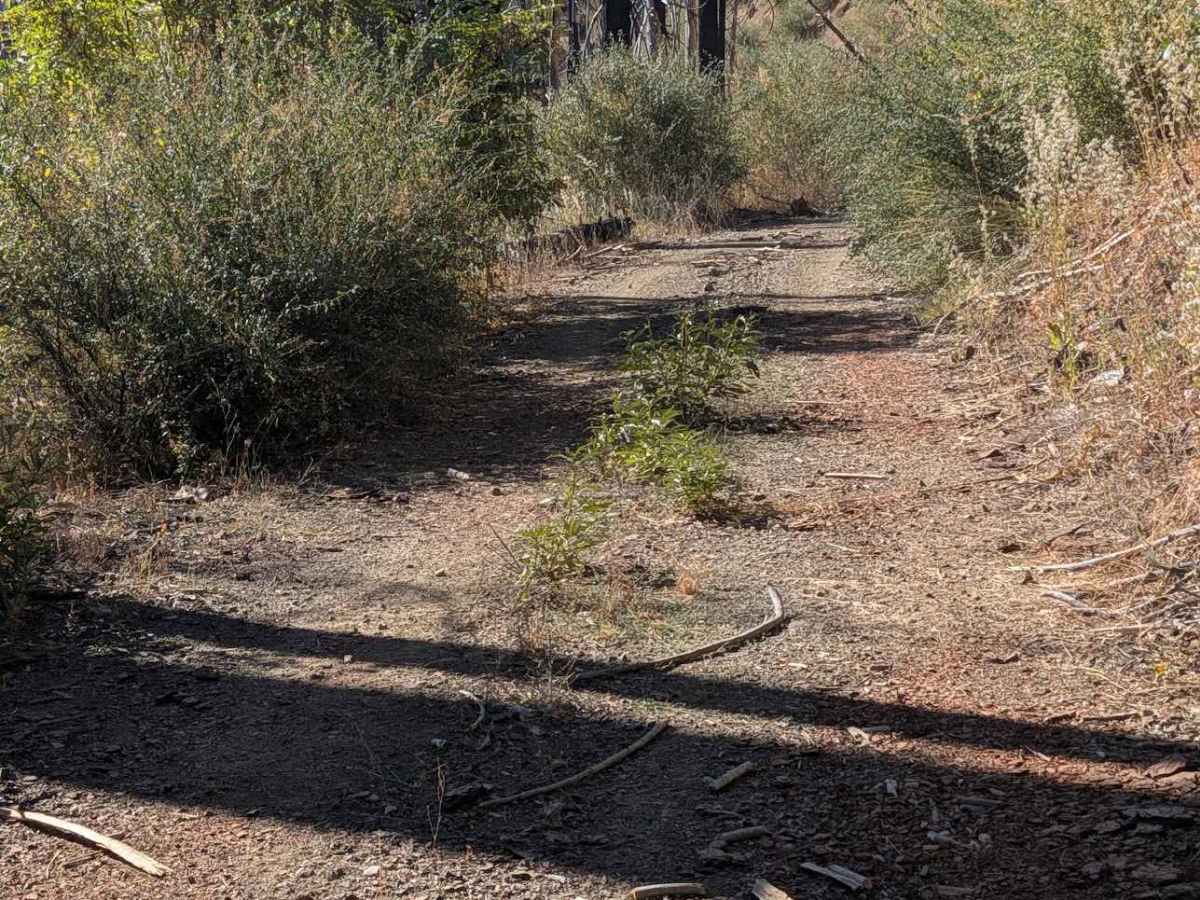
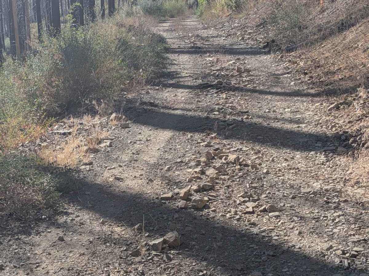
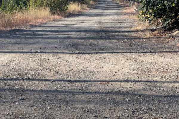
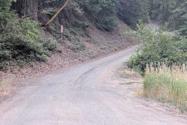
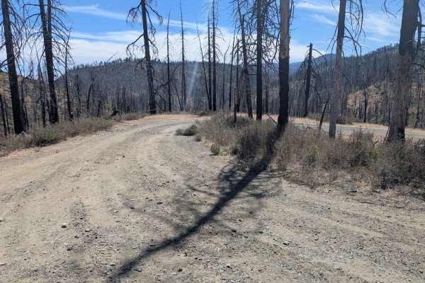
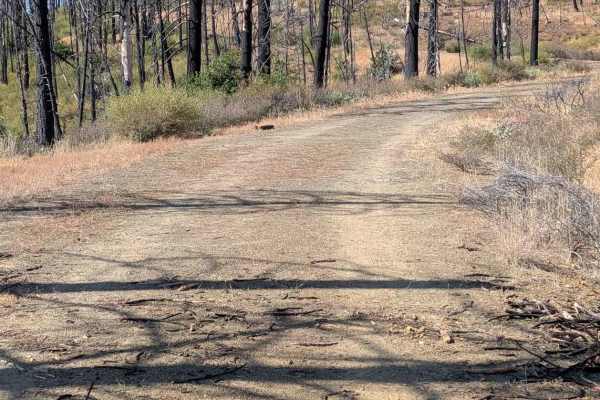
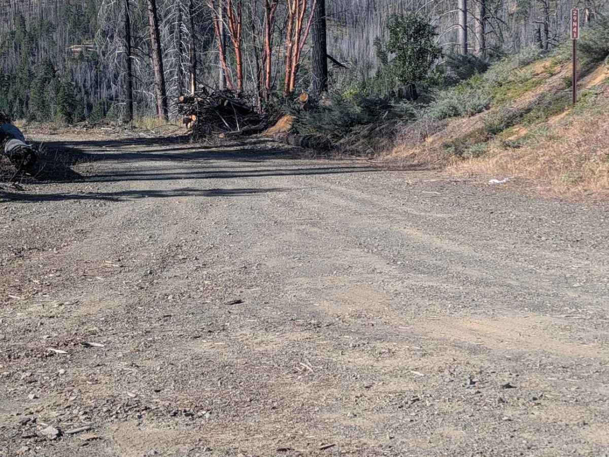
This single-lane gravel and dirt road starts at the South Fork Goods Creek Road - FS 29N27, crosses the McFarland Ridge Road - FS 29N25, and ends at Stuart Gap Road - FS 28N10. The road was a little overgrown in places and had some loose rocks up to a foot in diameter. There is minor erosion damage around six inches deep. There are a couple of places where erosion has eaten away at the edge of the road. There are quite a few fallen trees that have been cut clear of the road, so more falling is definitely possible. The road goes through both mixed forest and open areas. Some sections are too narrow to meet another full-size vehicle easily, but there are places with room to meet.

Photos of Baker Flat Road - FS 29N41

Difficulty

This route has a narrow road width and rocks

Technical Rating

3

Baker Flat Road - FS 29N41 Trail can be accessed by the following ride types:

  • Single Track
  • 50 Inch
  • 60 Inch
  • High Clearance
  • Full Width

Baker Flat Road - FS 29N41 Map

The onX Offroad Difference

onX Offroad combines trail photos, descriptions, difficulty ratings, width restrictions, seasonality, and more in a user-friendly interface. Available on all devices, with offline access and full compatibility with CarPlay and Android Auto. Discover what you're missing today!

Open Trail Map