#39

Total Miles0.2
Technical Rating
4Moderate
Best TimeSummer, Fall
Trail TypeSingle Track
Accessible By
Open Trail Map

Trail Overview

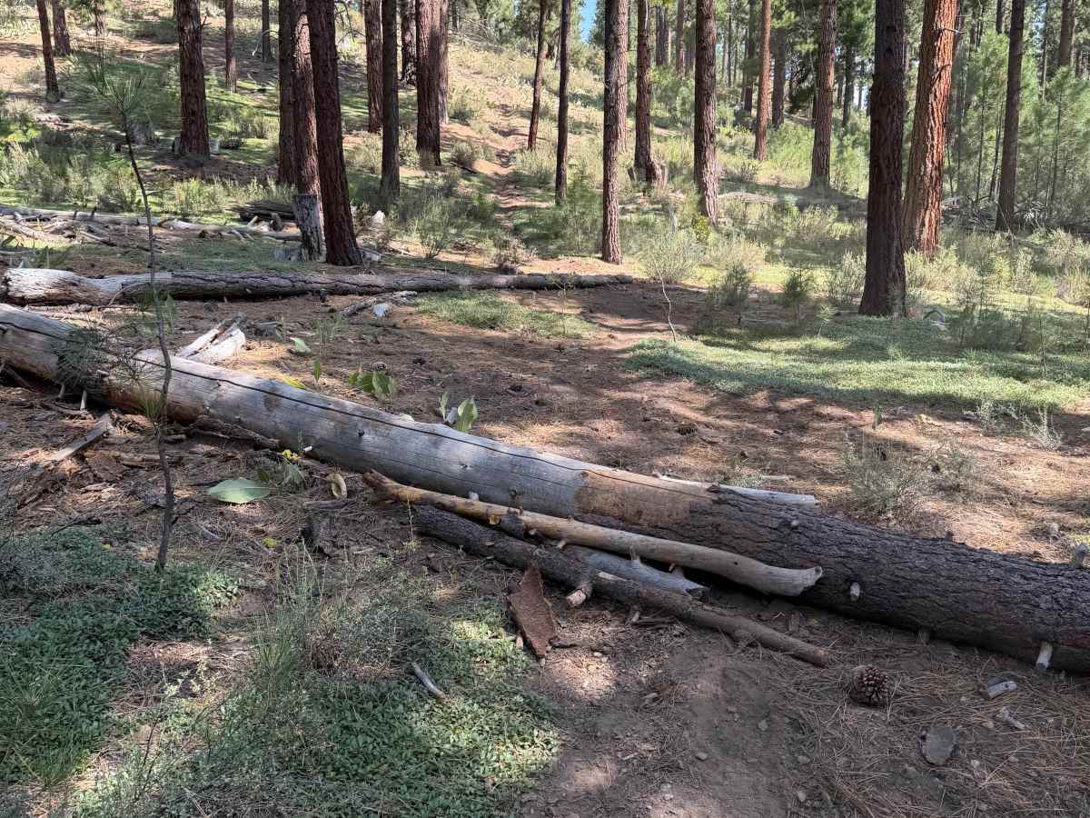
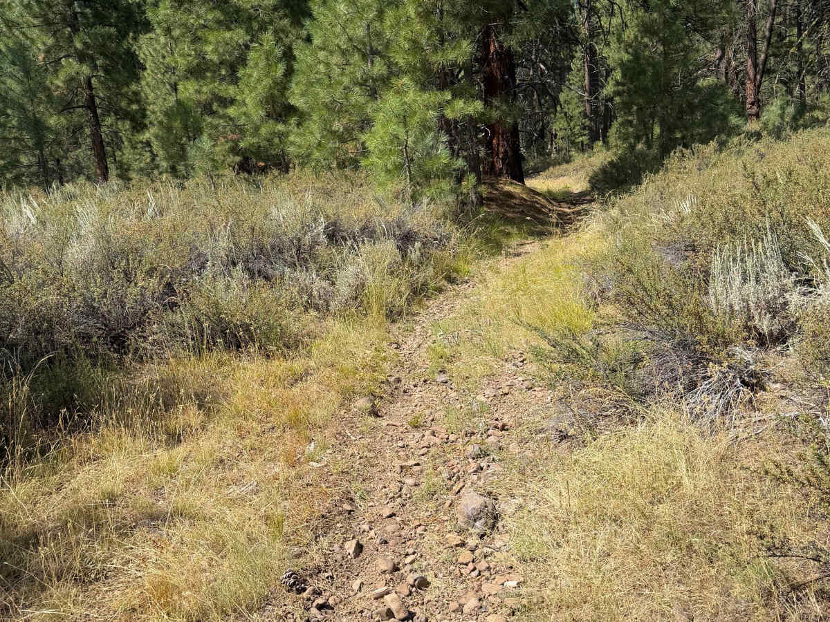
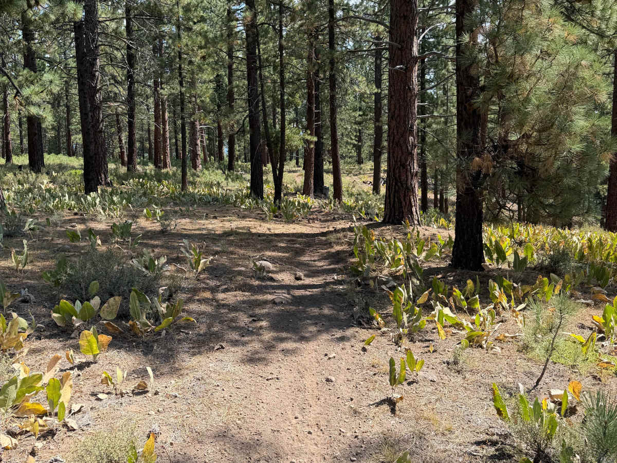
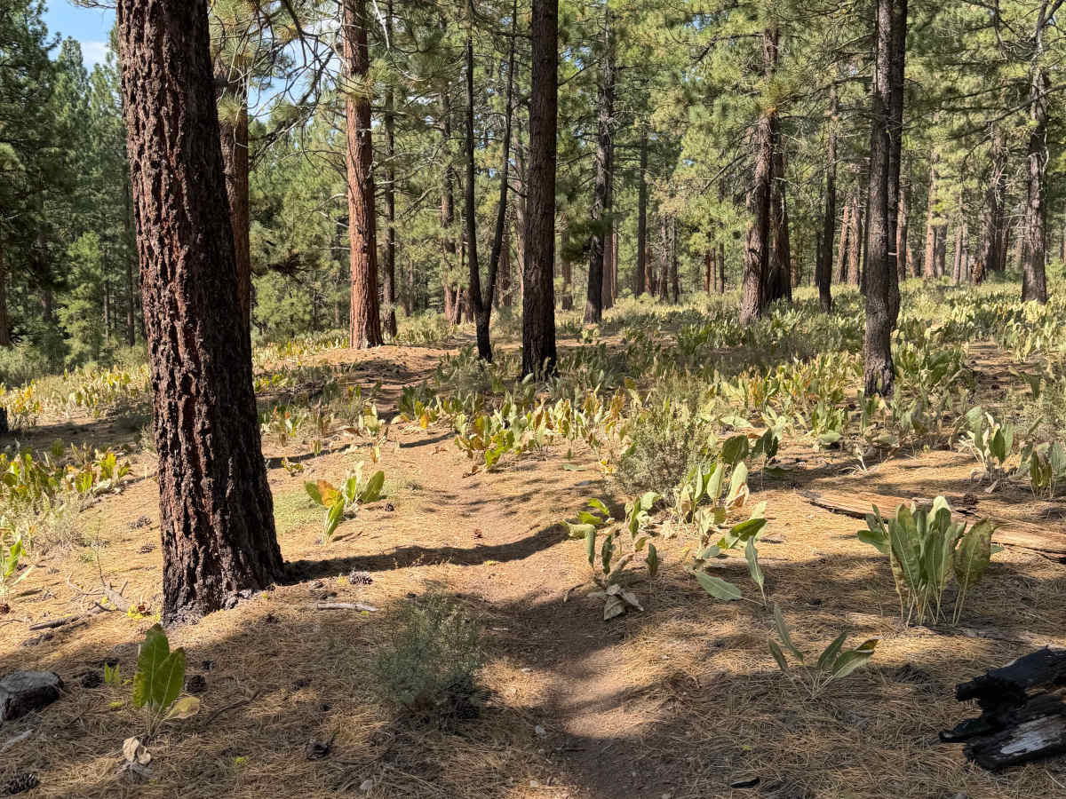
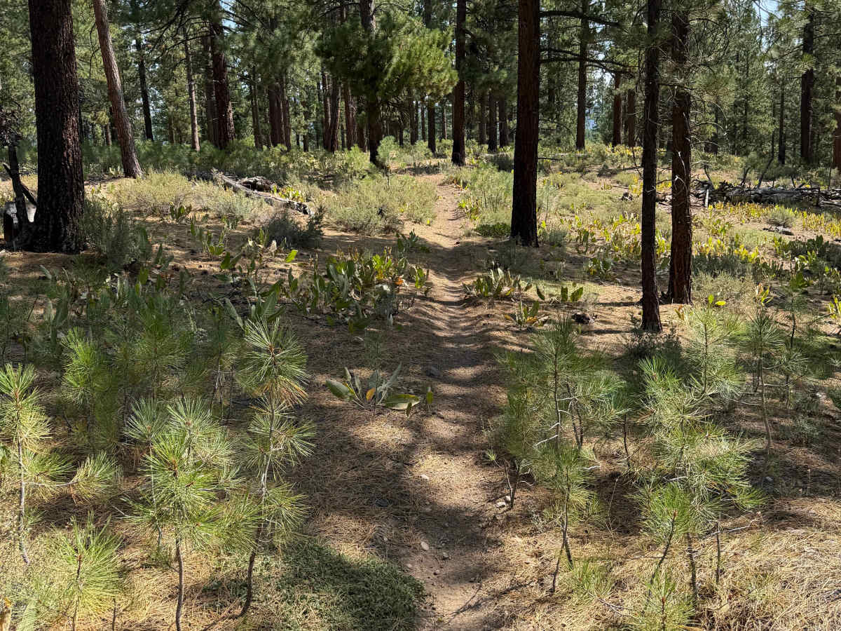
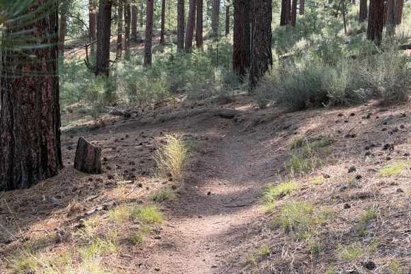
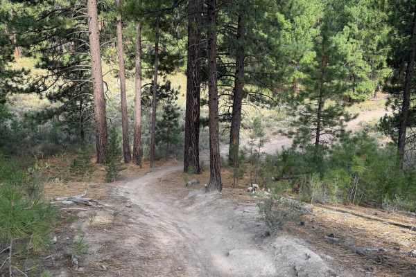
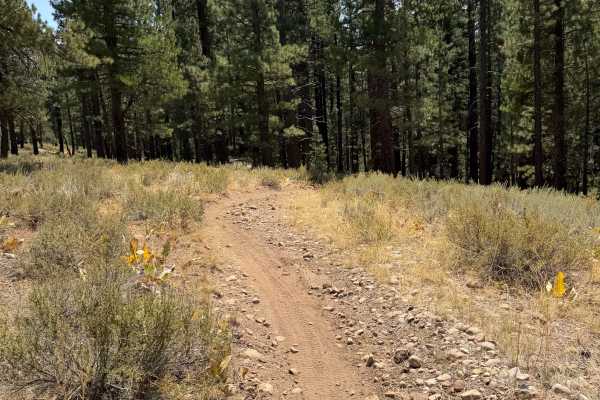
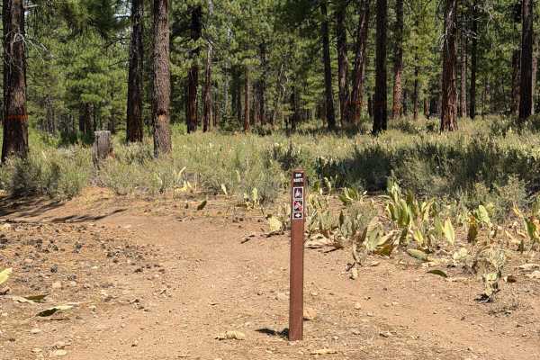
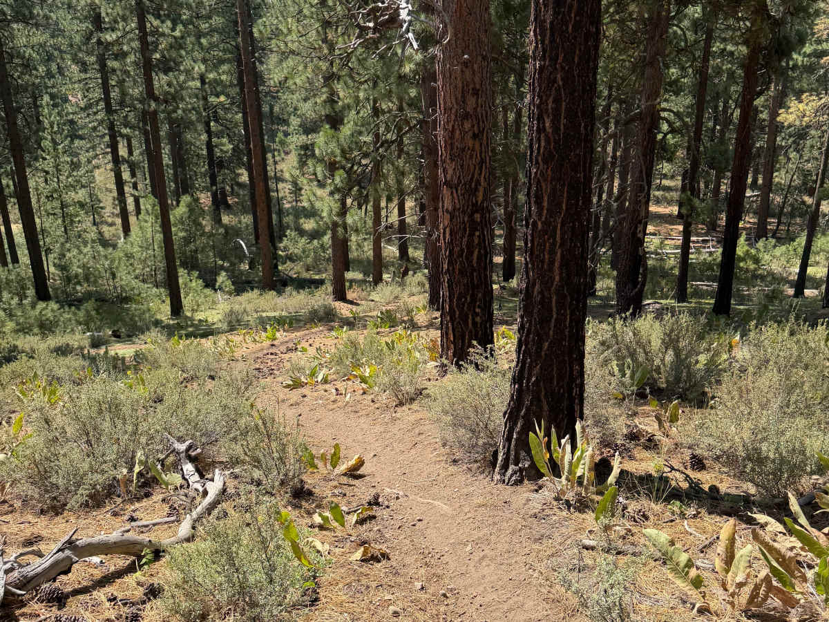
This trail connects the south ends of #30 and #38. It is a little less ridden and just lets you link singletrack between the two trails rather than a short road section. There is some elevation change, and the trail is somewhat loose because it is less ridden. There is one obstacle, and it is a fallen tree you have to get over. There are usually sticks piled up to ramp it on both sides. The rest of the trail is pretty straightforward, but the downhill end of it is in a creek bed momentarily, so it does have a lot of small loose rocks. Overall, a little bit more of an intermediate trail versus the more beginner-friendly ones nearby.

Photos of #39

Difficulty

Small fallen tree to get over and loose rocks.

Technical Rating

4

#39 Trail can be accessed by the following ride types:

  • Single Track

#39 Map

The onX Offroad Difference

onX Offroad combines trail photos, descriptions, difficulty ratings, width restrictions, seasonality, and more in a user-friendly interface. Available on all devices, with offline access and full compatibility with CarPlay and Android Auto. Discover what you're missing today!

Open Trail Map