13 Dips Road - FS 30N19

Total Miles6.3
Technical Rating
6Moderate
Best TimeSummer
Trail TypeFull-Width Road
Accessible By
Open Trail Map

Trail Overview

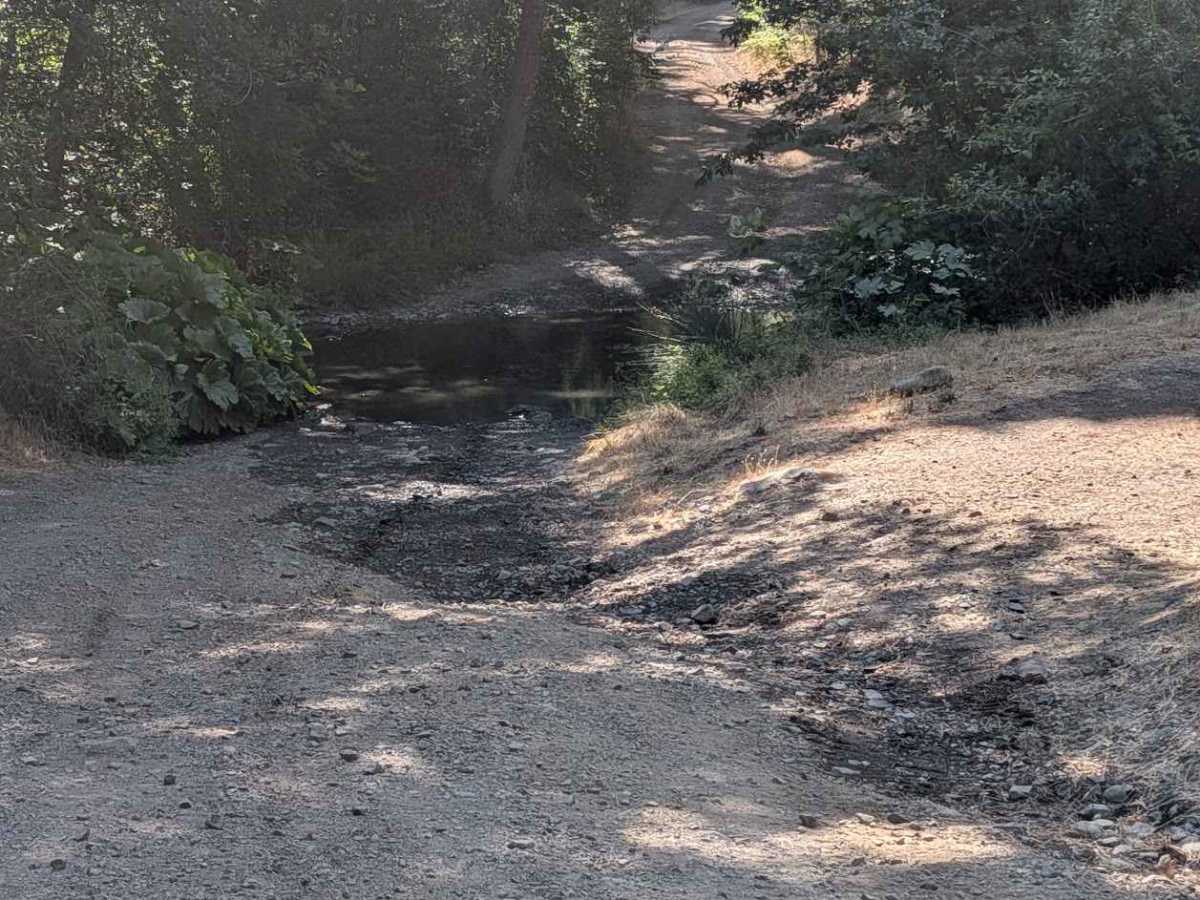
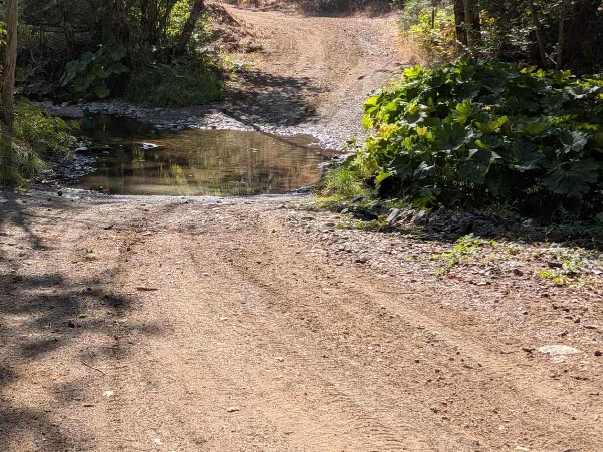
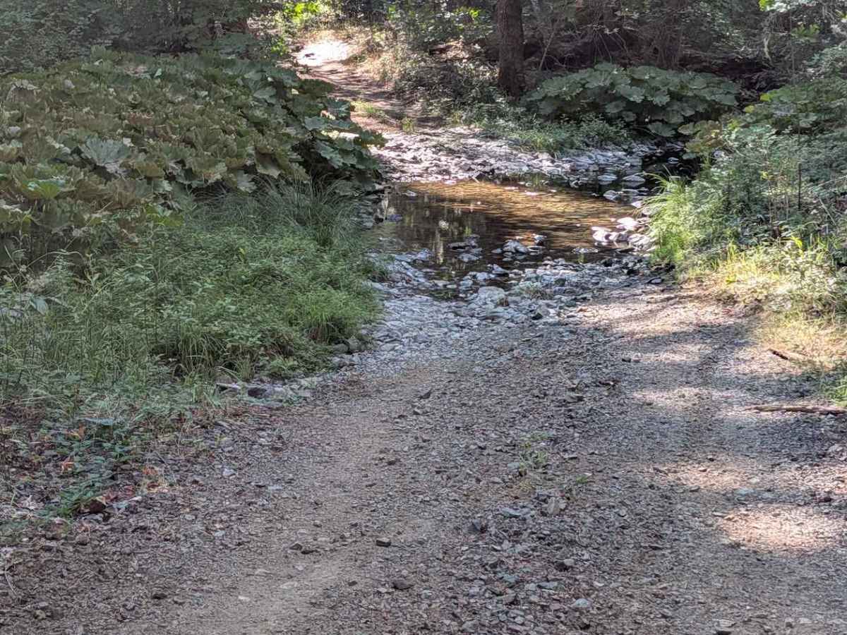
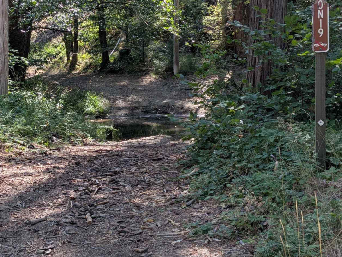
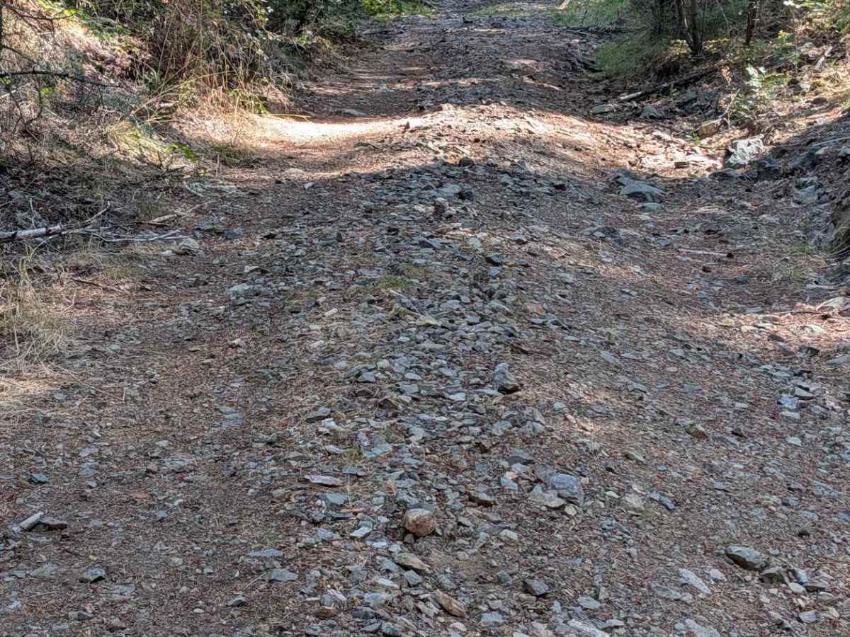
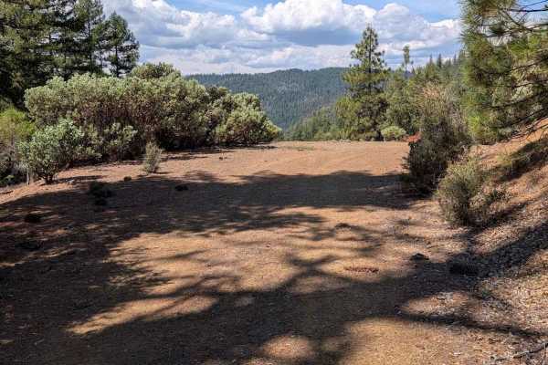
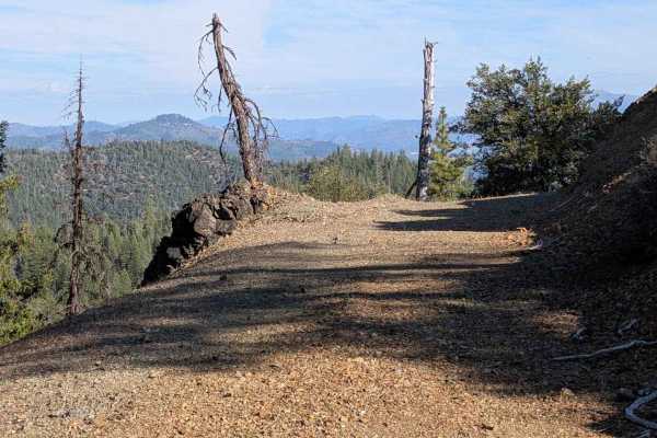
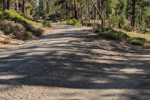
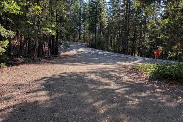
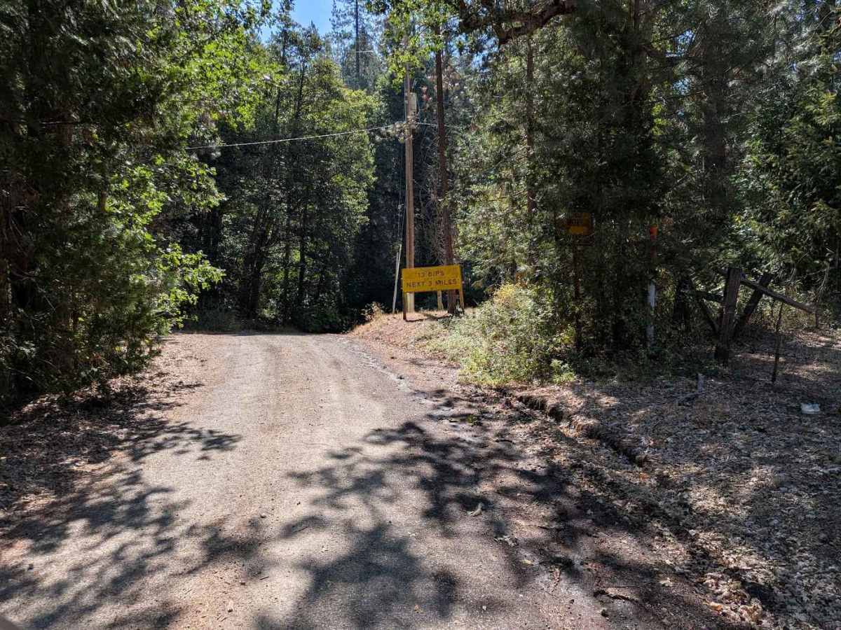
This track begins where the pavement ends on 13 Dips Road. It ends at Wildwood Road. The road is single-lane and too narrow to meet another vehicle easily in many sections. The name 13 Dips refers to the number of creek crossings the road makes, up to 2 feet deep but with very little current in late summer. There are sections where the road surface is full of 6- to 12-inch-diameter loose river rocks. In other places, it is similar height exposed embedded rocks. There are also many areas of erosion damage up to 2 feet deep.

Photos of 13 Dips Road - FS 30N19

Difficulty

This route has erosion ruts and water crossings. The road was evaluated during the dry part of a dry year. The water crossings will be deeper at other times.

Technical Rating

6

13 Dips Road - FS 30N19 Trail can be accessed by the following ride types:

  • Single Track
  • 50 Inch
  • 60 Inch
  • High Clearance
  • Full Width

13 Dips Road - FS 30N19 Map

The onX Offroad Difference

onX Offroad combines trail photos, descriptions, difficulty ratings, width restrictions, seasonality, and more in a user-friendly interface. Available on all devices, with offline access and full compatibility with CarPlay and Android Auto. Discover what you're missing today!

Open Trail Map