2 trails found in Arizona
Which "edge of the world" are you looking for?
We found 2 off-road trails in Arizona matching your search. Pick the one you're looking for below.
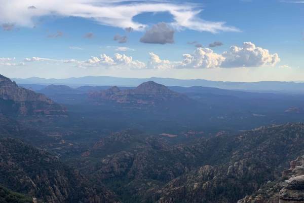
Edge of the World
Edge of the World (FS RD 231) is a wonderfully scenic, and easy, a route traversing through AZ State Trust land and Coconino National Forest leaving Flagstaff and heading South toward the East Pocket Lookout. Start your adventure through the Ponderosa pines by passing a couple of parks en route to R...
Learn more about Edge of the World
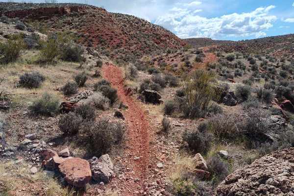
Edge of the World - Single Track
This trail has three sections. The first part is a little tough, maybe about a 7 out of 10. One minute you're on two track, and then it's a single track up through the rocks. There's a lot of rock riding on this trail, but nothing crazy difficult--no massive ledges along the route, although you may ...
Learn more about Edge of the World - Single Track