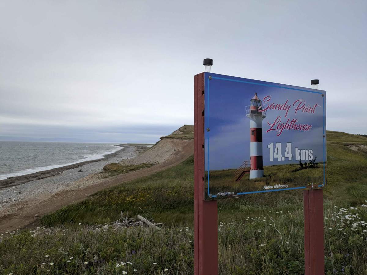
Trail Overview
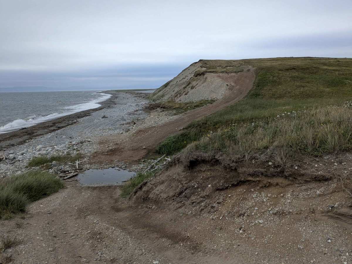
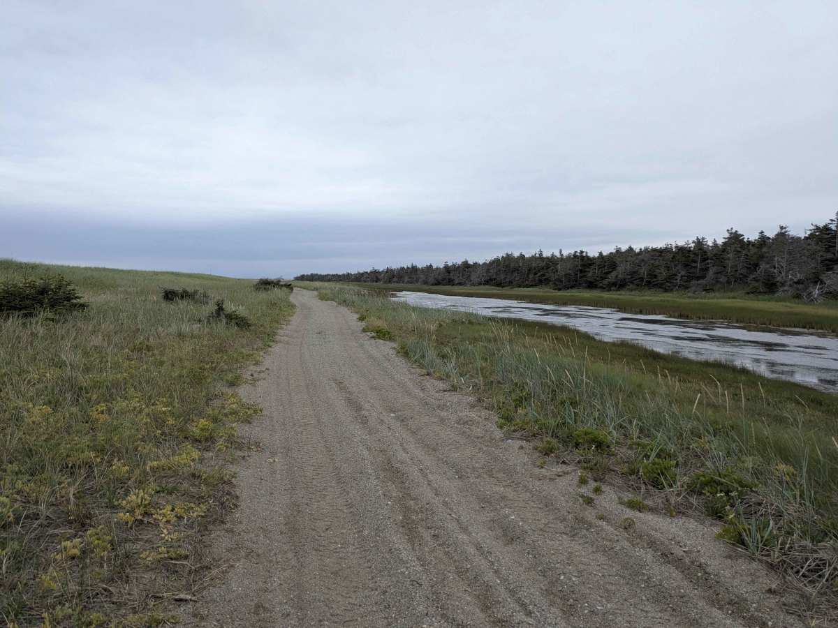
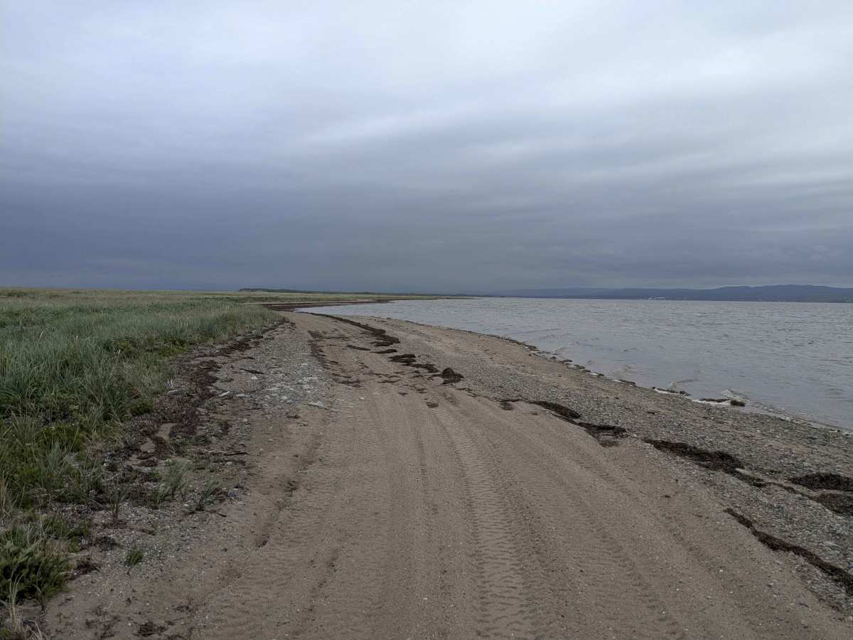
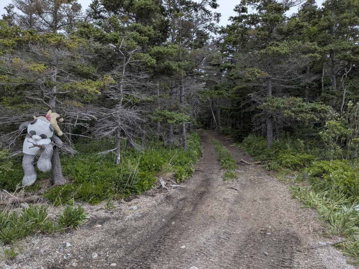
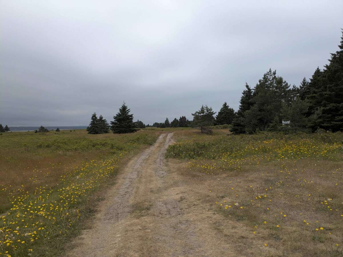
Sandy Point Lighthouse and the old, abandoned settlement of Sandy Point can be accessed on Sandy Point Trail. It is an out-and-back trail that runs out to the tip of the shoal, where the Sandy Point Lighthouse can be found. Along the way, there are markers for the various abandoned buildings that used to be the Sandy Point settlement. This trail can be run either on the inside or outside (exposed to the ocean) of the shoal, but take note of the wildlife markers in certain spots for nesting birds to not disturb their habitat. Driving on the outside of the shoal is quite precarious, as the beach is composed of very smooth stone that feels like driving on ice and wants to drag you out towards the waves. The inside of the shoal has calm waters and well-packed sand, but once you reach the woods on the island, the trail gets very narrow, suitable only for smaller rigs or ATVs/SxS's.
Difficulty
This is generally an easy trail; larger vehicles may be forced to travel on the rocky beach, which is very slippery and off-camber. The trail section that goes through the woods is very narrow and not suitable for full-size trucks or full-width 4x4s. Since this shoal is at sea level, tides and bad weather can create mud holes, temporary pools/water crossings, or dangerous conditions on the beach.
History
Originally, the settlement of Sandy Point was one of the major hubs at St. George. A severe storm turned Sandy Point into an island by severing its connection to the mainland in the 1950s. Another storm in 2020 brought in enough sand and rock to reconnect Sandy Point and turn it into a peninsula.