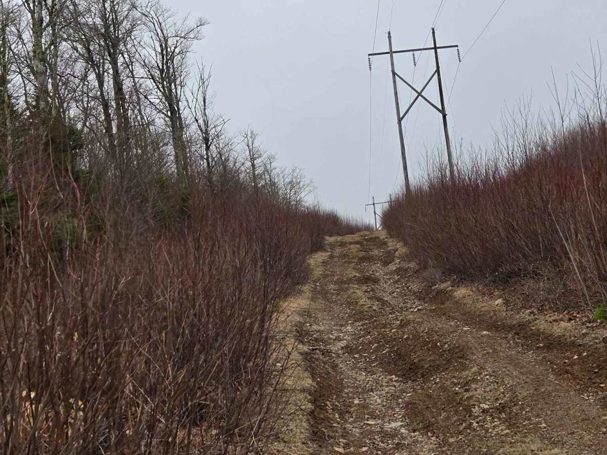
Trail Overview
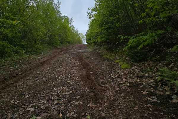
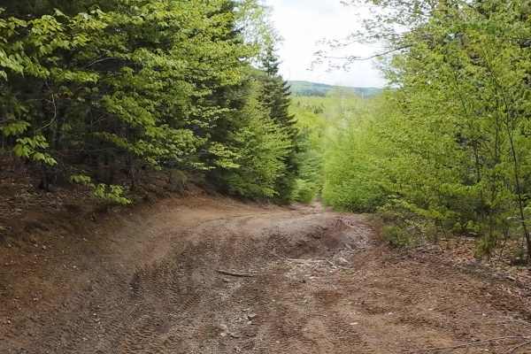
This powerline trail winds through the rolling hills of Prosser Brook and offers one of the most scenic approaches to the Kent Hill wind farm. The trail is mostly single-vehicle width, though there are occasional spots where passing is possible with care.
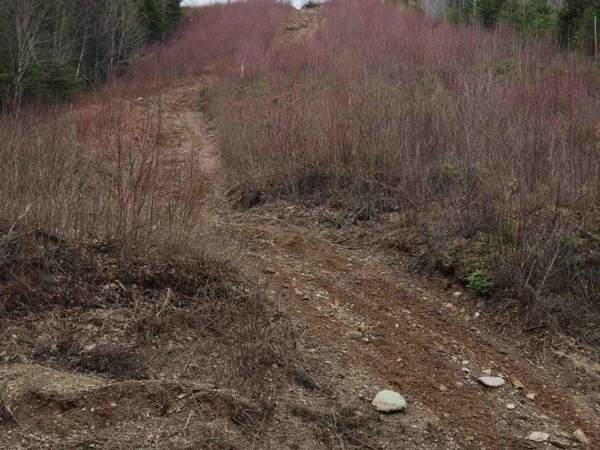
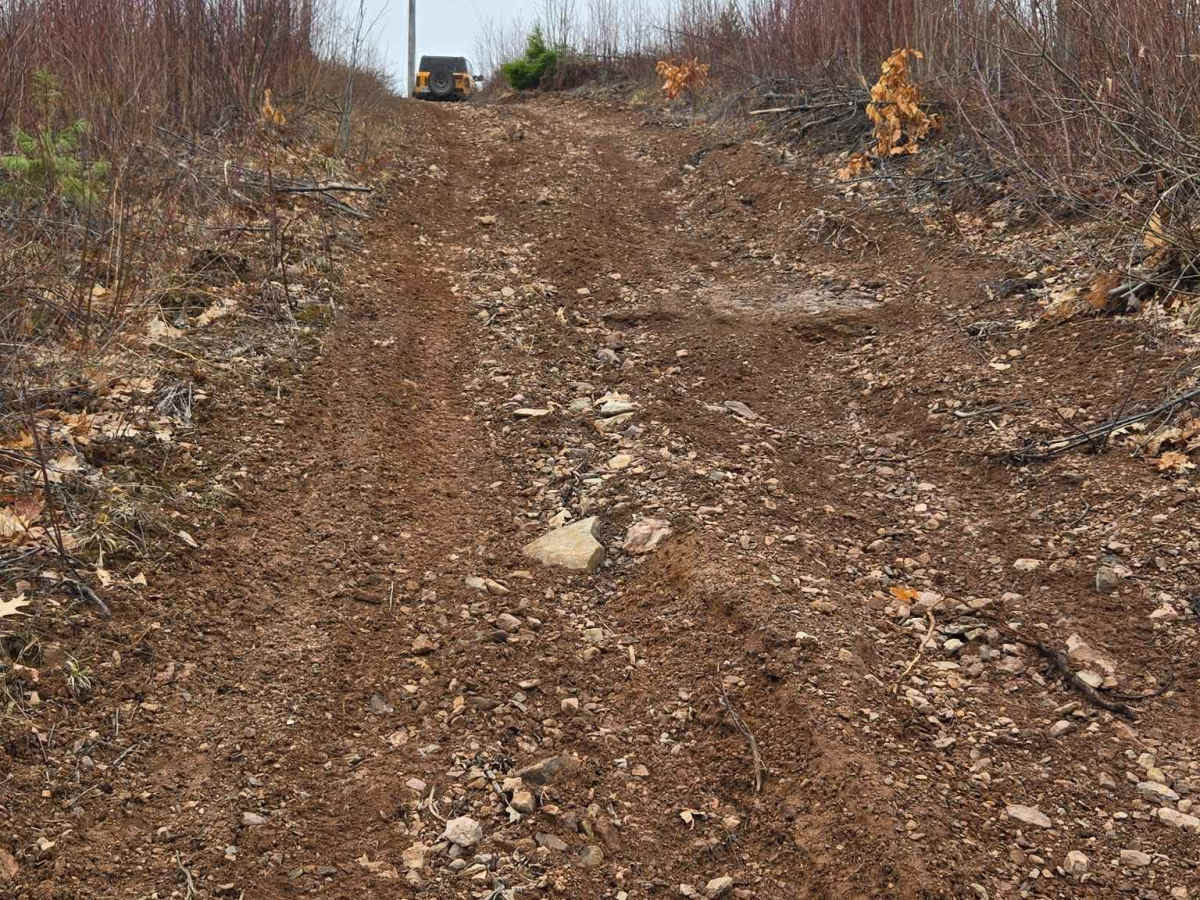
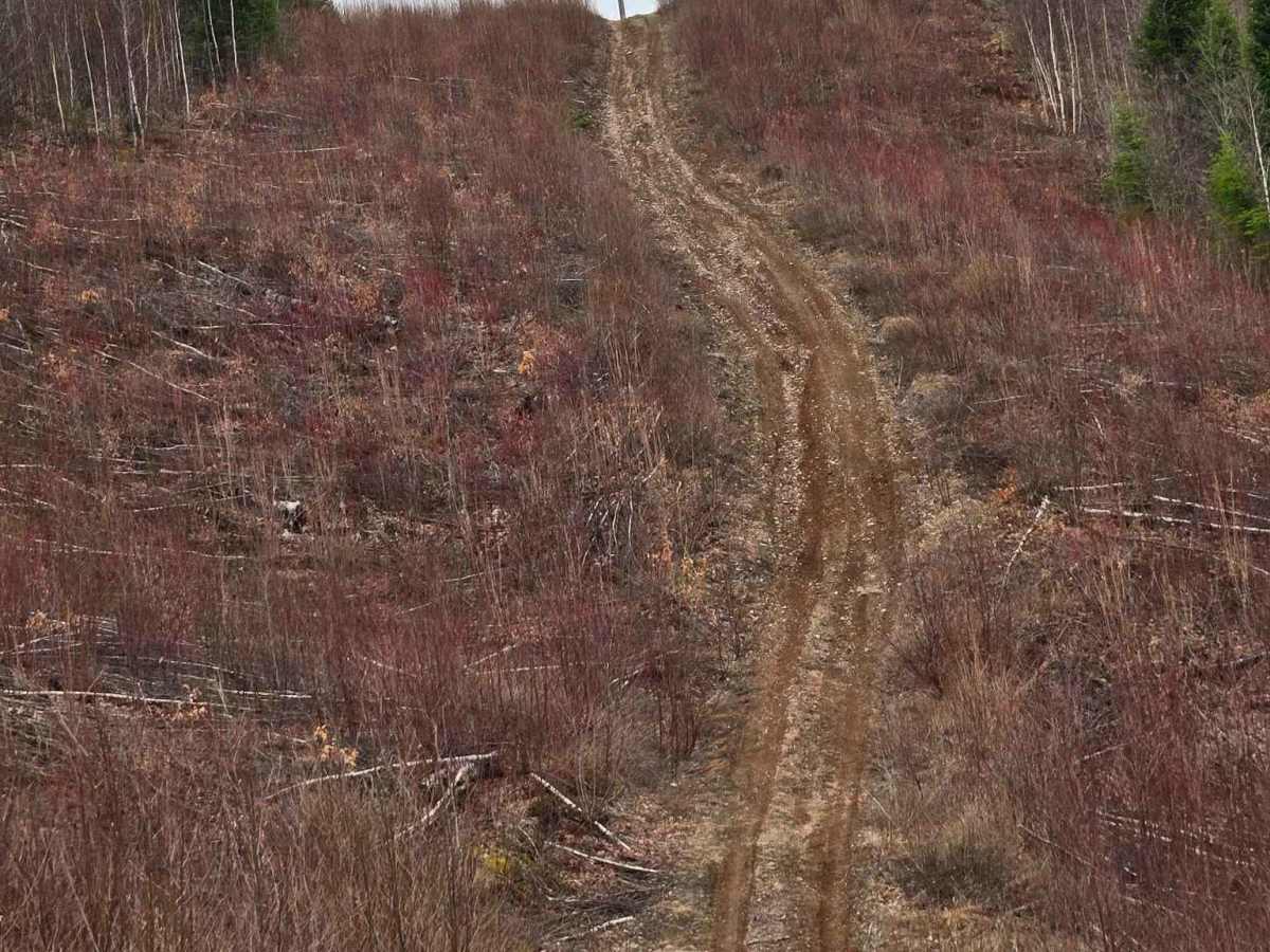
Expect frequent steep climbs, with grades regularly exceeding 15 degrees and some reaching up to 22 degrees. Several of these hills are prone to washouts—some large enough to swallow a 33" tire—so careful line choice is essential. At the entrance from Prosser Brook Road, longer wheelbase vehicles may hang up; approaching this section at an angle is recommended. The first major climb from this side is particularly prone to erosion and can make it difficult to maintain momentum, especially in wet conditions.
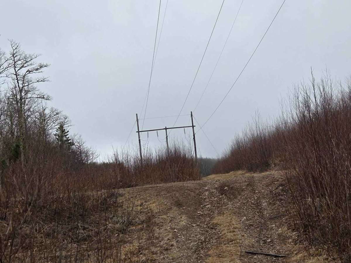
There are also a few off-camber sections, though nothing extreme (generally up to 15 degrees). Beyond the initial climbs, the trail continues over a series of rolling hills, with multiple blind crests and intersecting side trails—use caution and check both directions when approaching these areas.
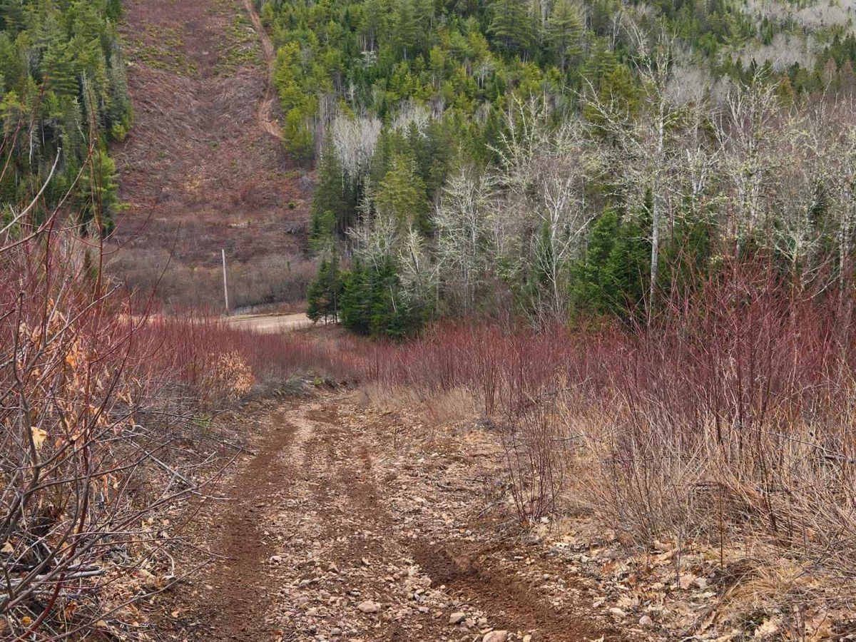
About halfway through, you’ll encounter another steep hill. Unlike earlier sections, this one runs alongside a drop-off. Trees provide some protection, but maintaining control is critical, particularly in wet weather when traction is reduced.
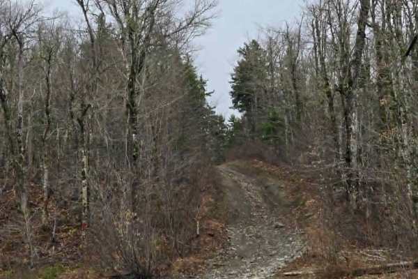
The trail narrows in places but becomes slightly less steep as you approach the wind turbines, though some climbs remain. Expect a few muddy patches and small water holes, but nothing overly significant.
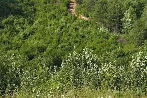
The scenery is a highlight throughout. Much of the area is clear-cut, offering expansive views—on a clear day, you can see as far as the town of Salisbury from the highest points, along with sweeping views over Parkindale and Prosser Brook.
Difficulty
Difficulty mostly comes from steepness, not much for obstacles, except for a couple of off-camber spots and deep washouts that are easy to straddle.