Rat Tail Brook Trail

Total Miles4.8
Technical Rating
2Easy
Best TimeSpring, Summer, Fall
Trail TypeFull-Width Road
Accessible By

Open Trail Map

Trail Overview

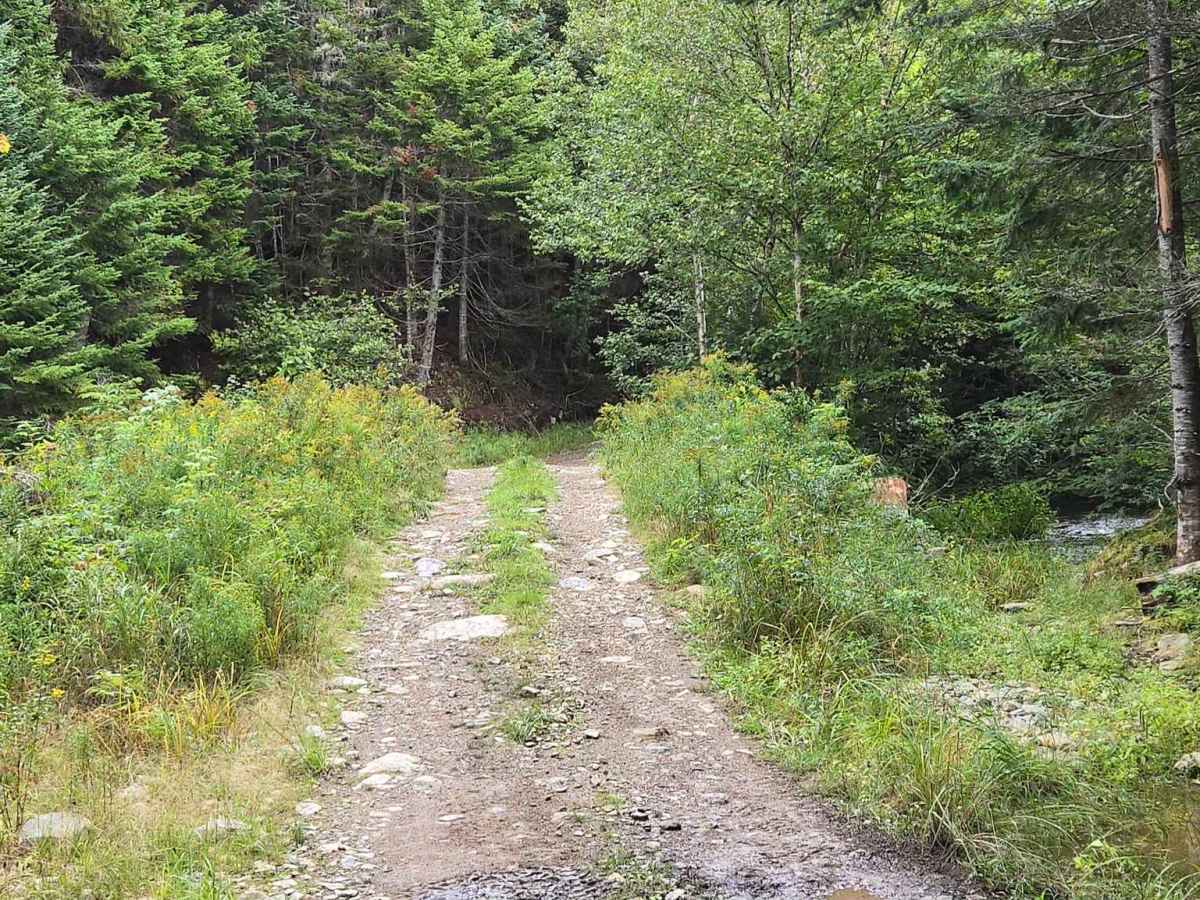
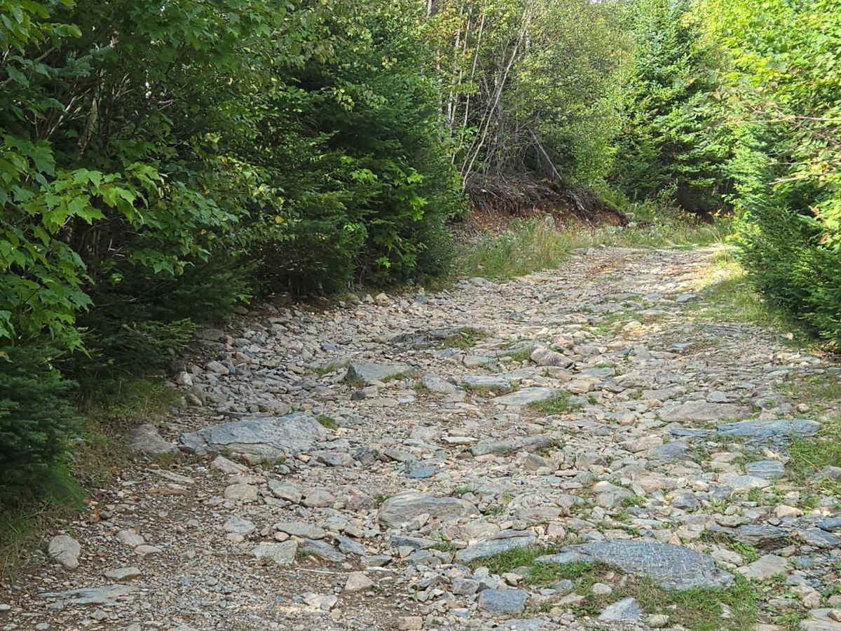
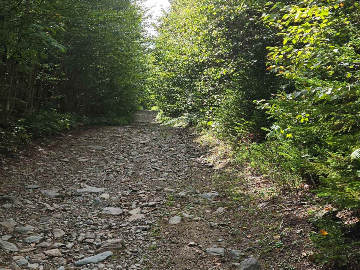
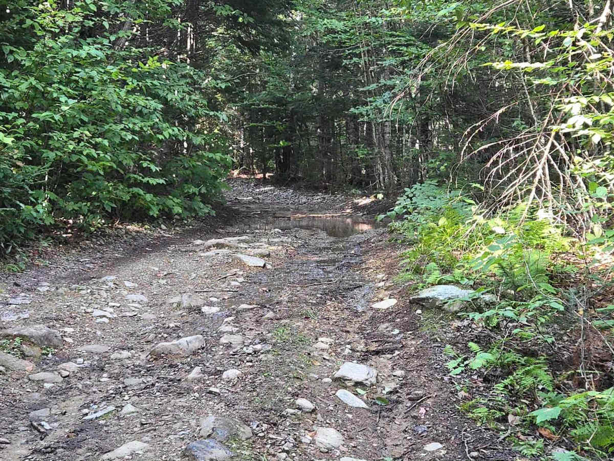
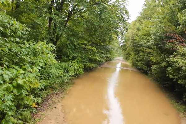
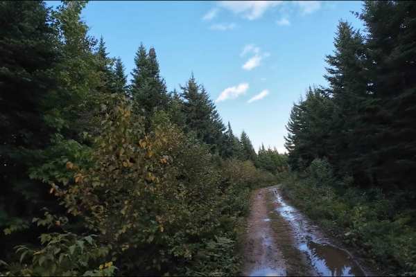
This trail features solid bottom mud holes up to 10" deep, hillclimbs up to 12" degrees in steepness, and lots of exposed rocks; some can be up to 6" tall. The name of this trail comes from the brook that crosses it, called "Rat Tail Brook". It is a very nice brook and hard to miss. This is a snowmobile only trail from Dec 15th to April 15th.

Photos of Rat Tail Brook Trail

Difficulty

Max steepness is 12 degrees, with solid bottom mud holes and exposed rocks up to 6". Some solid-bottom puddles as well; the trail is very easy and could potentially be completed in 2WD.

Technical Rating

2

Rat Tail Brook Trail Trail can be accessed by the following ride types:

  • Single Track
  • 50 Inch
  • 60 Inch
  • High Clearance
  • Full Width

Rat Tail Brook Trail Map

The onX Offroad Difference

onX Offroad combines trail photos, descriptions, difficulty ratings, width restrictions, seasonality, and more in a user-friendly interface. Available on all devices, with offline access and full compatibility with CarPlay and Android Auto. Discover what you're missing today!

Open Trail Map