Gravel Island Road

Total Miles8.7
Technical Rating
2Easy
Best TimeSpring, Summer, Fall
Trail TypeFull-Width Road
Accessible By
Open Trail Map

Trail Overview

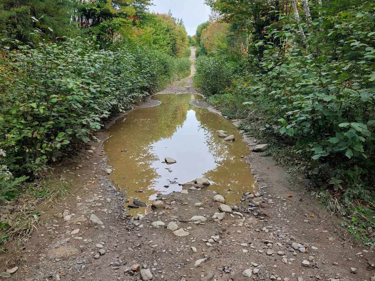
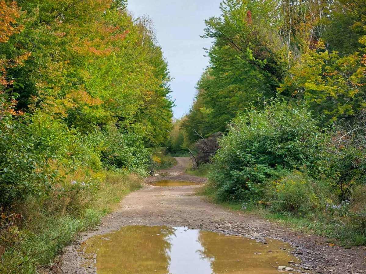
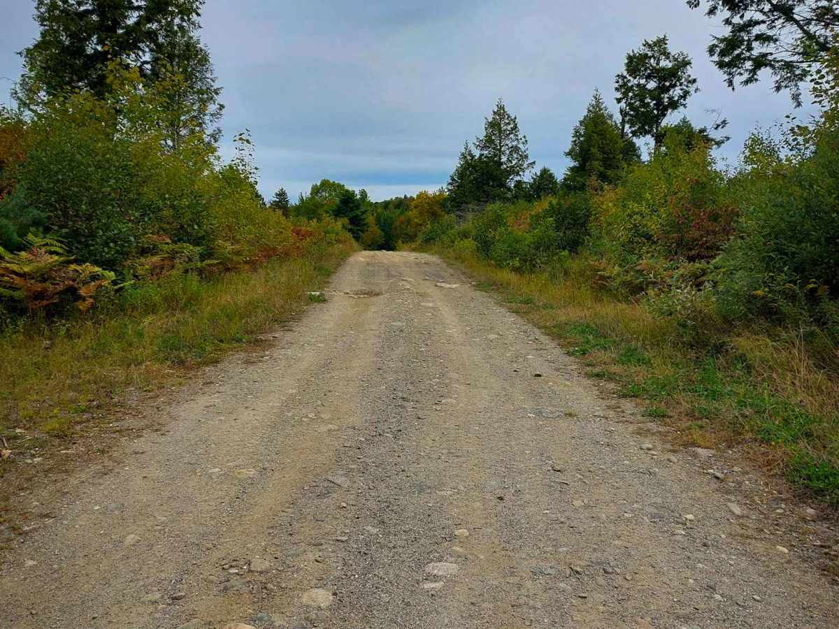
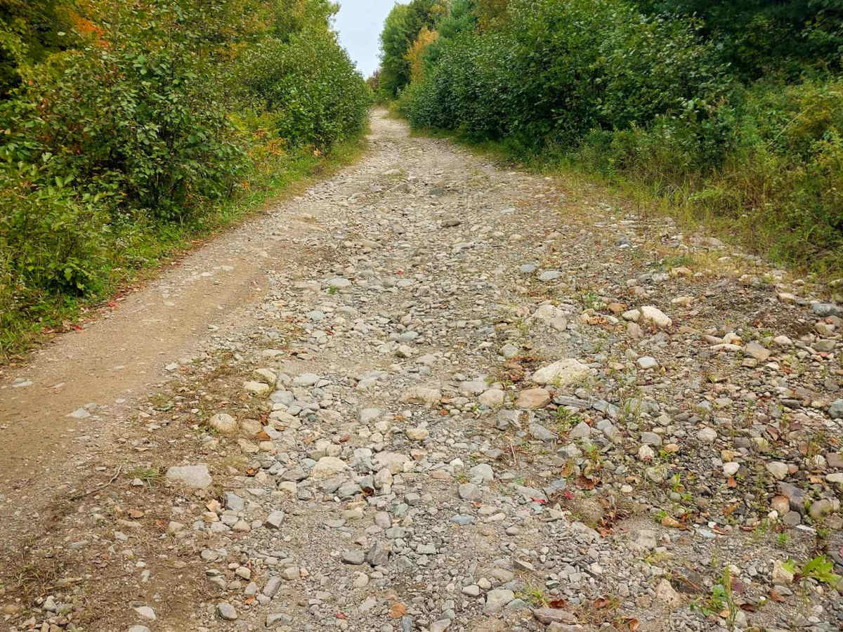
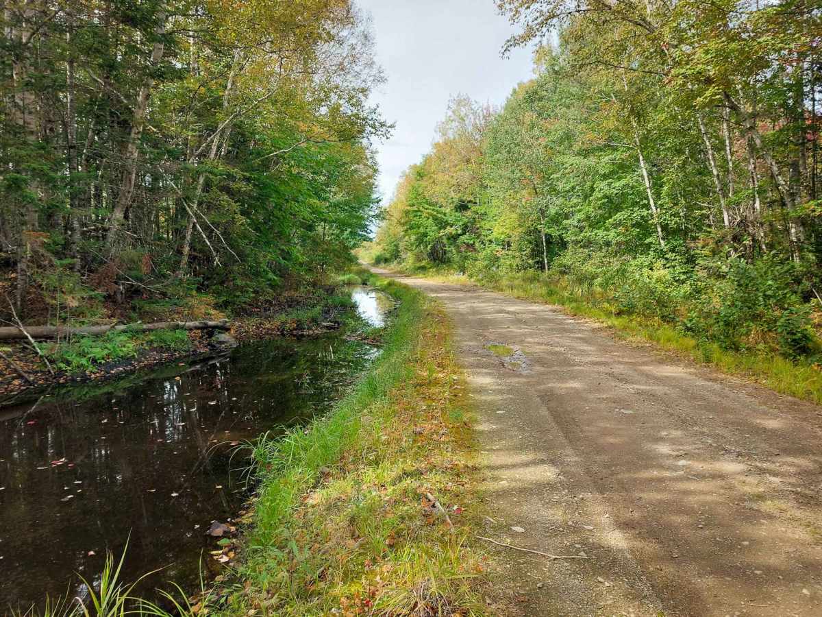
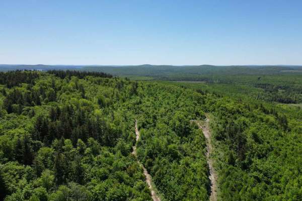
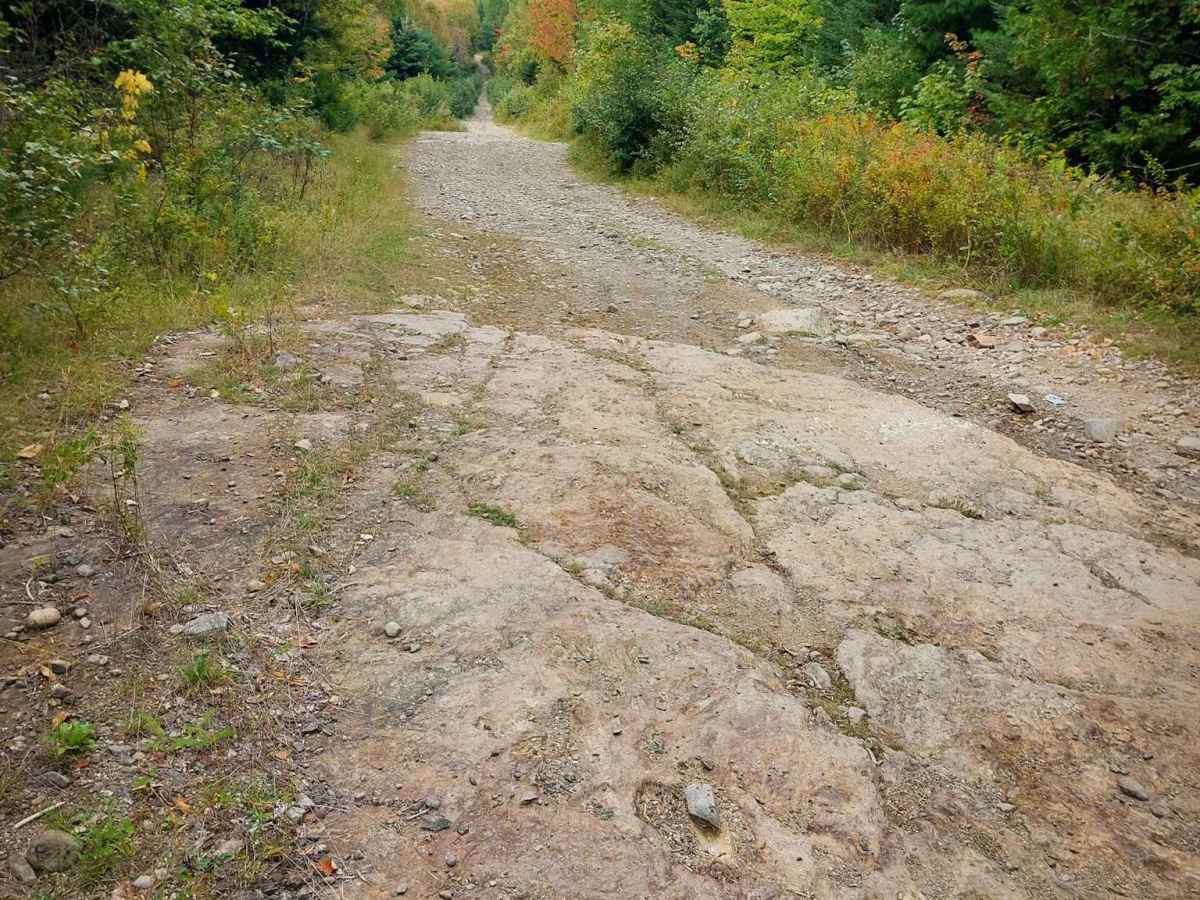
This is a single-lane dirt road that cuts across from Route745 to Route 630N. The road is winding, with a few ruts, rocks, and waterholes that span the entire road in some sections. All of these were less than 12 inches at the time of driving. The waterholes were solid in the bottom. Cell service is spotty and may roam to US towers. 

Photos of Gravel Island Road

Difficulty

This is not a maintained road. The road is mostly one vehicle wide with a few passing areas. All ruts and potholes were under 12 inches deep.

Technical Rating

2

Gravel Island Road Trail can be accessed by the following ride types:

  • Single Track
  • 50 Inch
  • 60 Inch
  • High Clearance
  • Full Width

Gravel Island Road Map

The onX Offroad Difference

onX Offroad combines trail photos, descriptions, difficulty ratings, width restrictions, seasonality, and more in a user-friendly interface. Available on all devices, with offline access and full compatibility with CarPlay and Android Auto. Discover what you're missing today!

Open Trail Map