
Dirt Bike Trails
Near Whitesburg, Kentucky
Explore All Dirt Bike Trails Near Whitesburg, Kentucky
Dirt Bike Trails Near Whitesburg, Kentucky
Discover the best dirt bike trails near you. Browse trail maps, check difficulty ratings, and find your next adventure — whether you're looking for a quick ride or an all-day expedition.
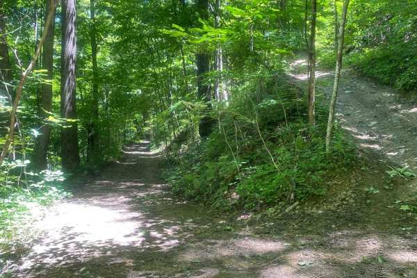
Trail 1
This is the main trail from the parking behind Fishpond Lake. It connects all other trails currently in the marked system. The trail is mostly dirt; expect a lot of standing water even in the summer, occasional tight switchbacks, and short climbs. This trail leads to Trail 6 which eventually wraps b...
Learn more about Trail 1
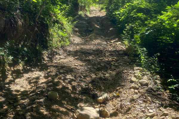
Trail 6
This is the Mid-Mountain Bench Trail that completes the loop around the Fishpond Lake property. It's slightly more technical than Trail 1, but still a main trail. Expect more narrow bench-cut mine roads, but less standing water and mud. Trail 6 gives access to some out-and-back spur trails to the to...
Learn more about Trail 6
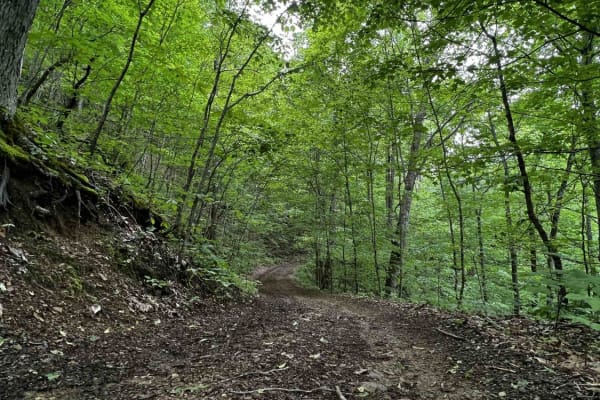
Wild Horse Trail (Lige Hollow)
This trail begins at an abandoned coal mine, twisting back and forth through a covered forest as it makes its way to the top of a regrown strip mine full of roaming wild horses. After seeing the horses and the view from the top of the mountain you'll begin to make your way back down the other side. ...
Learn more about Wild Horse Trail (Lige Hollow)
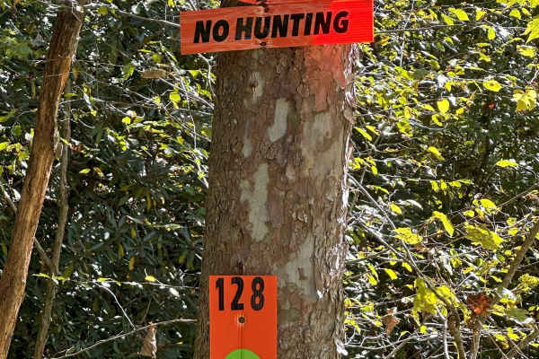
128
This is an easy green trail and it has a fantastic spot to stop and take pictures and have lunch. Located on the left, a few minutes after starting the trail, there is a cool rock overhang. People have been stopping by this location for years to climb up, have lunch, and rest for a little bit. The t...
Learn more about 128
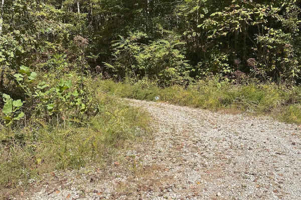
126
This trail is pretty short and that's because the park owners have not yet finished it. 126 is designated for future use at the moment, but there are plans to make the trail accessible from Sock it to it. Currently, Sock it to it is an in-and-out trail located in the vicinity. Once work is complete,...
Learn more about 126
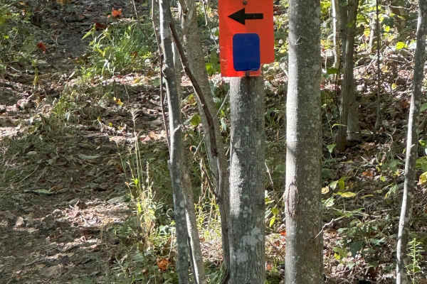
133A
133A is a loop trail off of 133. There are a few steep climbs with some smooth rocks scattered throughout the climbs. Mostly under the canopy of the trees, this track will take you along the ridge of the mountain back to the beginning of Trail 133. It's very pretty and scenic along this track. It wo...
Learn more about 133A
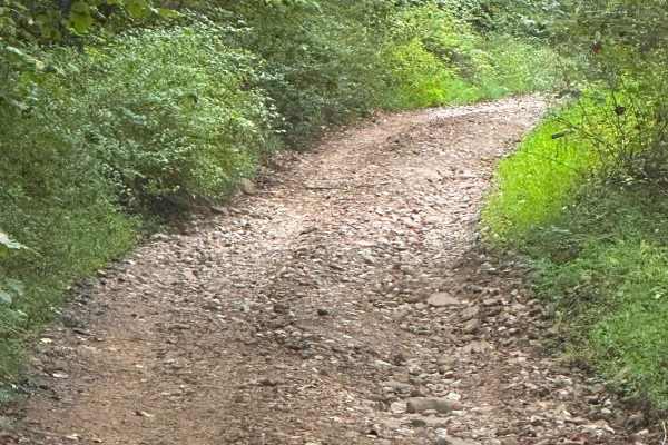
123
This green trail is almost 8 miles of gravel road. Enjoy a trip through the forest in most SUV's and 4x4's. The entire track can be done in 2WD with only a few muddy crossings. This track begins and ends on public roads. Licensed vehicles can enter and exit from these roads, but other trail-only veh...
Learn more about 123
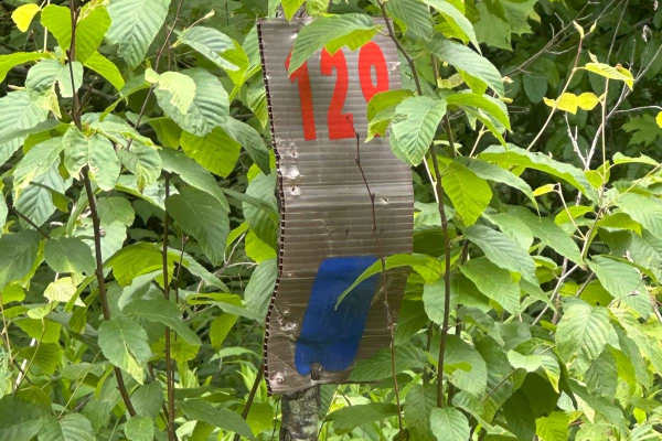
129
This track will take you down to Highway 510 on Line Fork. It is mostly gravel with a few spots to cross mud holes. Take it slow, and you could see wildlife along your route. Deer were spotted while mapping this trail. Nothing much to be worried about, as this can mostly be done in 2WD, except for t...
Learn more about 129
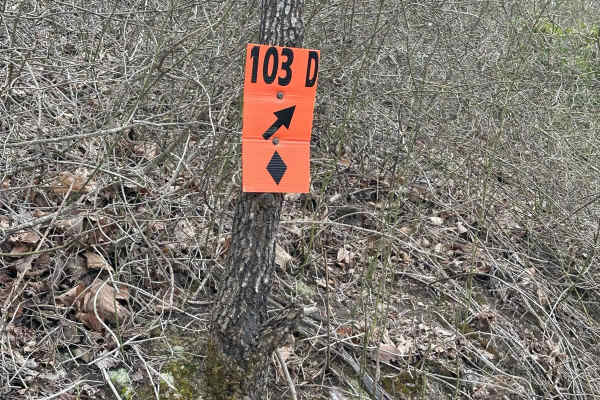
125
125 is a blue trail that will take you to trail 128 and then to trail 123. There are a few deep mud holes that you need to watch out for on this track. Other than that, it is just an easy ride under the canopy. Some key locations are in this area. There is the Trail 128 overhang, which is a good pla...
Learn more about 125
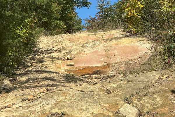
133
Trail 133 is a mixture of rocks and dirt. You start off with a steep rocky section and it quickly tightens up at the top of the ridge. You will make your way across the ridge and start descending down into the trees. At this point, the track tightens up quite a bit. You will start winding your way t...
Learn more about 133
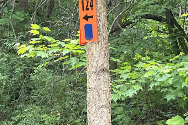
124
124 is a fun trail that will take you through the woods in a tight twisty track under the canopy of the treetops. Expect climbs and descents and muddy trails. 124 will also take you past the iconic Rattler Ridge. Rattler Ridge is an optional part of the trail that will challenge even the most capabl...
Learn more about 124
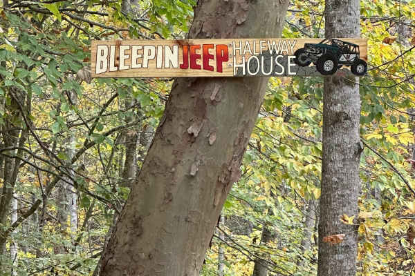
Bleepin Jeep's Halfway House
This track is rated red because there is a nasty rock ledge on the climb out. Bring all your recovery gear and a spotter with you on this one. Winch and front and rear lockers are a must on this trail. The track starts off with a drop into the natural creek that is running down this ravine. You will...
Learn more about Bleepin Jeep's Halfway House
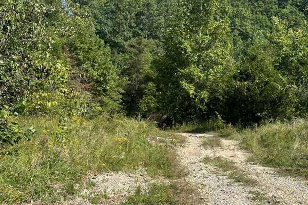
214
This trail could be used as a bypass trail to some of 209 and 215 if used in conjunction with some other side spur trails. This trail has a dirt and rock surface that is maintained with some rolling elevation and good views to check out along the way.
Learn more about 214

215
Trail 215 completes the 209 trail loop. This trail is difficult to climb or crawl over, with steep grades. There are a couple of tight areas and turns on the trail. There are not many obstacles to avoid on the trail, but it appears there could be issues with erosion and rutting over time.
Learn more about 215
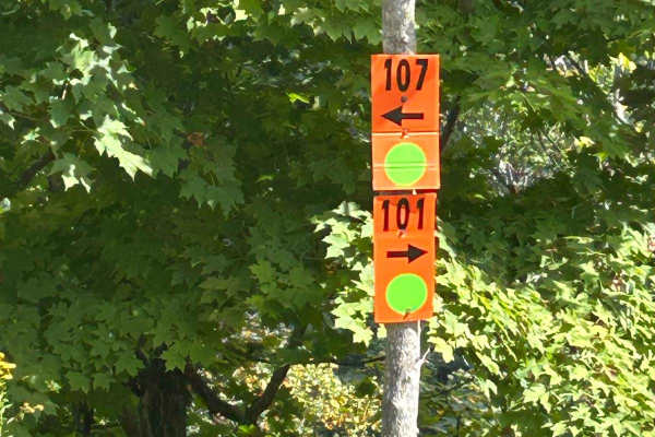
107
This easy-going track can be accessed from trail 101 or 114. Parts of the trail are single-vehicle roads, so be cautious of oncoming traffic, but don't worry--there are plenty of places to pass. The trail is mostly dirt and gravel roads, with multiple shallow mudholes along the way. While traveling ...
Learn more about 107
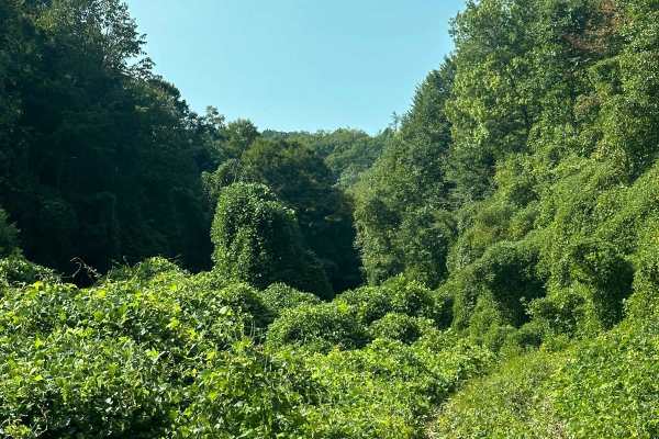
212
This scenic view looks like you are driving through the jungle when the terrain is heavily covered with local kudzu (Pueraria Montana) vines. The dirt and rock trail goes up alongside a rolling hill where all the trees and rock are covered in a thick vine to make the scenery.
Learn more about 212
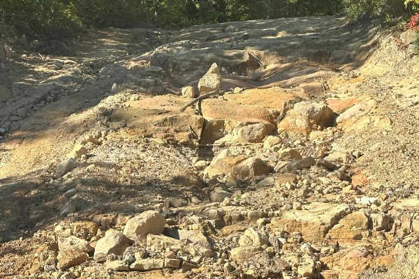
121
Trail 121 is an easy trail that starts off with a choice. Take the smooth easy path on the left or choose to crawl the smaller rocks on the right. Nothing too difficult here, just choose your line and you should be just fine. This track will take you back to the main trail 101. The trail is mostly g...
Learn more about 121
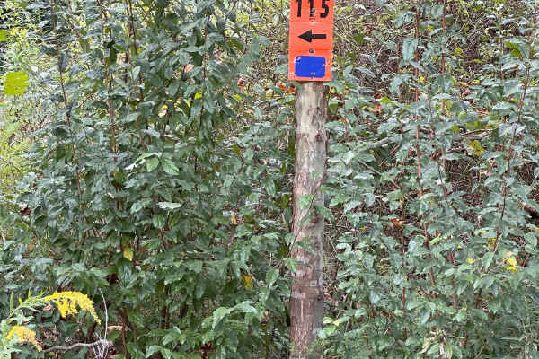
115
This trail makes a loop. Both sides can be accessed via trail 114. This is an easy blue trail that can be driven in either direction. You will be navigating an uphill/downhill switchback depending on the direction you are traveling. This track is mainly dirt and could be a little tricky if it is wet...
Learn more about 115
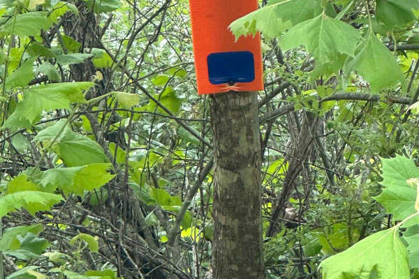
116
This trail dead ends at a gas well. You must turn around and make your way back, or you can take 116A and make your way back to trail 124 down below. This track has a steep climb and a sharp turn at the beginning of the track, giving it its difficulty.
Learn more about 116
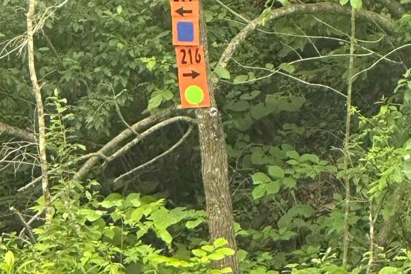
216
216 is a green gravel route that can be driven in 2WD until you get almost to the end. There is a wetland in the area, and it covers the road during periods of rain. Be cautious of this area when crossing to not disturbing the wetland area. Hang to the far left where the road is designed to cross.
Learn more about 216
ATV trails near Whitesburg, Kentucky
Explore ATV-friendly trails near you. These trails are accessible for vehicles up to 50 inches wide, perfect for ATVs and smaller off-road machines.
Trail 1
This is the main trail from the parking behind Fishpond Lake. It connects all other trails currently in the marked system. The trail is mostly dirt; expect a lot of standing water even in the summer, occasional tight switchbacks, and short climbs. This trail leads to Trail 6 which eventually wraps b...
Learn more about Trail 1
Trail 6
This is the Mid-Mountain Bench Trail that completes the loop around the Fishpond Lake property. It's slightly more technical than Trail 1, but still a main trail. Expect more narrow bench-cut mine roads, but less standing water and mud. Trail 6 gives access to some out-and-back spur trails to the to...
Learn more about Trail 6
Wild Horse Trail (Lige Hollow)
This trail begins at an abandoned coal mine, twisting back and forth through a covered forest as it makes its way to the top of a regrown strip mine full of roaming wild horses. After seeing the horses and the view from the top of the mountain you'll begin to make your way back down the other side. ...
Learn more about Wild Horse Trail (Lige Hollow)
128
This is an easy green trail and it has a fantastic spot to stop and take pictures and have lunch. Located on the left, a few minutes after starting the trail, there is a cool rock overhang. People have been stopping by this location for years to climb up, have lunch, and rest for a little bit. The t...
Learn more about 128
UTV/side-by-side trails near Whitesburg, Kentucky
Find UTV and side-by-side trails near you. These trails accommodate vehicles up to 60 inches wide, ideal for UTVs, side-by-sides, and wider off-road rigs.
Trail 1
This is the main trail from the parking behind Fishpond Lake. It connects all other trails currently in the marked system. The trail is mostly dirt; expect a lot of standing water even in the summer, occasional tight switchbacks, and short climbs. This trail leads to Trail 6 which eventually wraps b...
Learn more about Trail 1
Trail 6
This is the Mid-Mountain Bench Trail that completes the loop around the Fishpond Lake property. It's slightly more technical than Trail 1, but still a main trail. Expect more narrow bench-cut mine roads, but less standing water and mud. Trail 6 gives access to some out-and-back spur trails to the to...
Learn more about Trail 6
Wild Horse Trail (Lige Hollow)
This trail begins at an abandoned coal mine, twisting back and forth through a covered forest as it makes its way to the top of a regrown strip mine full of roaming wild horses. After seeing the horses and the view from the top of the mountain you'll begin to make your way back down the other side. ...
Learn more about Wild Horse Trail (Lige Hollow)
128
This is an easy green trail and it has a fantastic spot to stop and take pictures and have lunch. Located on the left, a few minutes after starting the trail, there is a cool rock overhang. People have been stopping by this location for years to climb up, have lunch, and rest for a little bit. The t...
Learn more about 128
The onX Offroad Difference
onX Offroad combines trail photos, descriptions, difficulty ratings, width restrictions, seasonality, and more in a user-friendly interface. Available on all devices, with offline access and full compatibility with CarPlay and Android Auto. Discover what you're missing today!
Open Trail Map