
Dirt Bike Trails
Near Whitecone, Arizona
Explore All Dirt Bike Trails Near Whitecone, Arizona
Dirt Bike Trails Near Whitecone, Arizona
Discover the best dirt bike trails near you. Browse trail maps, check difficulty ratings, and find your next adventure — whether you're looking for a quick ride or an all-day expedition.
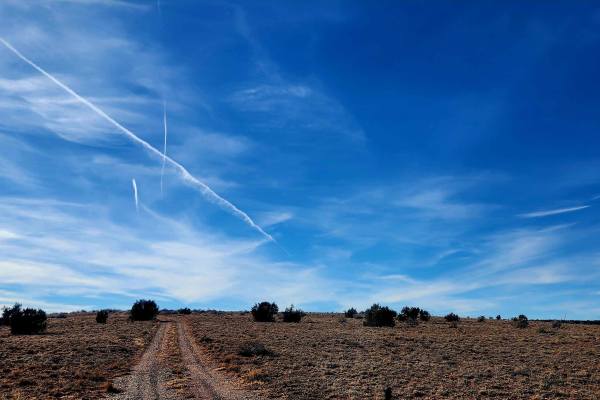
Mill Road
This trail follows a 3-mile road through the land north of Snowflake and Taylor, Arizona, traveling from east to west with a variety of open desert views. Along the route are broad mesas, expansive blue skies, and several windmills that define the landscape. Early on, the road passes a clearly marke...
Learn more about Mill Road
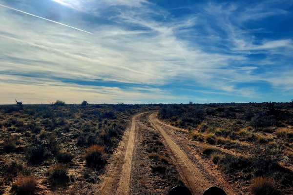
Way Out
This trail is aptly named and serves as an alternate route out of the area after exploring Mill Road, avoiding the need to backtrack. The northern section runs north to south and remains a true off-road route with single-vehicle width, washouts, ruts, and wide-open high desert views, along with feat...
Learn more about Way Out
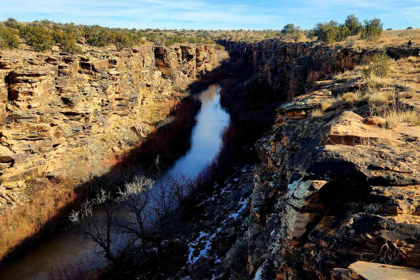
Five Mile Draw
This trail makes a great side trek for those passing through the area with about an hour to spare, though it can easily take longer depending on how much time is spent exploring. The route is only 2.2 miles, but the canyon offers plenty to see on foot, and the short loop can take around 45 minutes t...
Learn more about Five Mile Draw
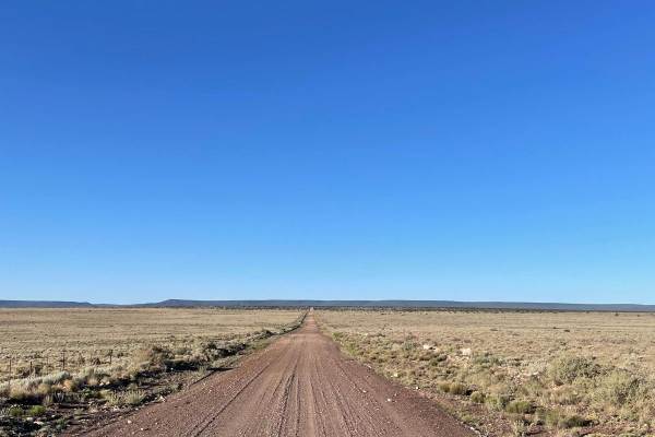
FS 126 to FS 125
This lengthy trail starts right off I-40 and stretches just over 16 miles. This is an off-and-on maintained gravel road that is very dusty and washboarded. The majority of this trail travels across a flat landscape with open plains to the north and more forested areas to the south. There are several...
Learn more about FS 126 to FS 125
ATV trails near Whitecone, Arizona
Explore ATV-friendly trails near you. These trails are accessible for vehicles up to 50 inches wide, perfect for ATVs and smaller off-road machines.
Mill Road
This trail follows a 3-mile road through the land north of Snowflake and Taylor, Arizona, traveling from east to west with a variety of open desert views. Along the route are broad mesas, expansive blue skies, and several windmills that define the landscape. Early on, the road passes a clearly marke...
Learn more about Mill Road
Way Out
This trail is aptly named and serves as an alternate route out of the area after exploring Mill Road, avoiding the need to backtrack. The northern section runs north to south and remains a true off-road route with single-vehicle width, washouts, ruts, and wide-open high desert views, along with feat...
Learn more about Way Out
Five Mile Draw
This trail makes a great side trek for those passing through the area with about an hour to spare, though it can easily take longer depending on how much time is spent exploring. The route is only 2.2 miles, but the canyon offers plenty to see on foot, and the short loop can take around 45 minutes t...
Learn more about Five Mile Draw
FS 126 to FS 125
This lengthy trail starts right off I-40 and stretches just over 16 miles. This is an off-and-on maintained gravel road that is very dusty and washboarded. The majority of this trail travels across a flat landscape with open plains to the north and more forested areas to the south. There are several...
Learn more about FS 126 to FS 125
UTV/side-by-side trails near Whitecone, Arizona
Find UTV and side-by-side trails near you. These trails accommodate vehicles up to 60 inches wide, ideal for UTVs, side-by-sides, and wider off-road rigs.
Mill Road
This trail follows a 3-mile road through the land north of Snowflake and Taylor, Arizona, traveling from east to west with a variety of open desert views. Along the route are broad mesas, expansive blue skies, and several windmills that define the landscape. Early on, the road passes a clearly marke...
Learn more about Mill Road
Way Out
This trail is aptly named and serves as an alternate route out of the area after exploring Mill Road, avoiding the need to backtrack. The northern section runs north to south and remains a true off-road route with single-vehicle width, washouts, ruts, and wide-open high desert views, along with feat...
Learn more about Way Out
Five Mile Draw
This trail makes a great side trek for those passing through the area with about an hour to spare, though it can easily take longer depending on how much time is spent exploring. The route is only 2.2 miles, but the canyon offers plenty to see on foot, and the short loop can take around 45 minutes t...
Learn more about Five Mile Draw
FS 126 to FS 125
This lengthy trail starts right off I-40 and stretches just over 16 miles. This is an off-and-on maintained gravel road that is very dusty and washboarded. The majority of this trail travels across a flat landscape with open plains to the north and more forested areas to the south. There are several...
Learn more about FS 126 to FS 125
The onX Offroad Difference
onX Offroad combines trail photos, descriptions, difficulty ratings, width restrictions, seasonality, and more in a user-friendly interface. Available on all devices, with offline access and full compatibility with CarPlay and Android Auto. Discover what you're missing today!
Open Trail Map