
Dirt Bike Trails
Near West Point, Alabama
Explore All Dirt Bike Trails Near West Point, Alabama
Dirt Bike Trails Near West Point, Alabama
Discover the best dirt bike trails near you. Browse trail maps, check difficulty ratings, and find your next adventure — whether you're looking for a quick ride or an all-day expedition.
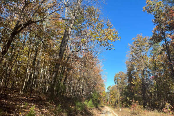
County Road 198 - FS272
This is a sparsely traveled trail that follows the telephone lines and weaves through private property, offering beautiful views of the local farmlands and surrounding landscape. The trail can be tricky during the muddy season, so be sure to check local conditions before heading out, and remember to...
Learn more about County Road 198 - FS272
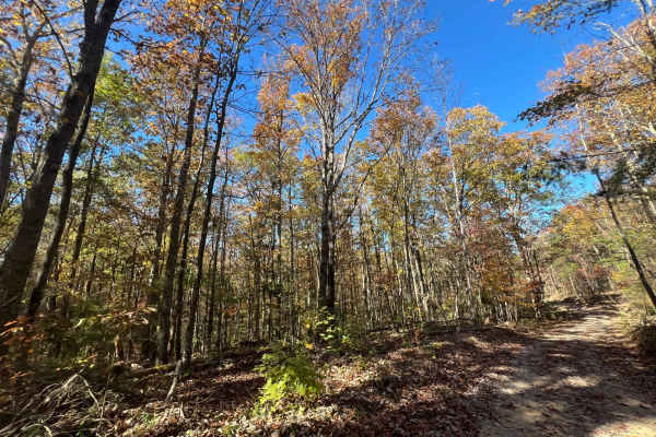
Flat Mountain Road - FS 270C
This is a tight, short out-and-back trail that winds through large stands of pine trees and passes old logging roads, along with a gate or two that are unlocked seasonally. Be sure to bring a saw, as fallen trees continue to block further access. The trail can be slick when muddy, so remember to tre...
Learn more about Flat Mountain Road - FS 270C
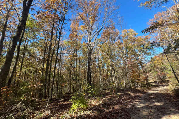
Clifty Fork Road - FS124
Clifty Fork Road- Forest Service Road 124 is a scenic, two-way country road that provides extensive access to other areas and trails. It offers ample opportunities for wildlife viewing and smooth, flowing travel. However, like many rural roads, it can be slick after rain or during muddy conditions. ...
Learn more about Clifty Fork Road - FS124
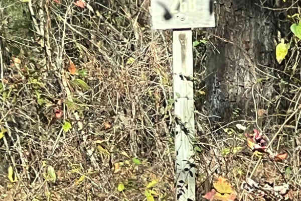
County Road 81 - FS 268
Forest Service Road 268 is a scenic, two-way country road that provides extensive access to other areas and trails. It offers ample opportunities for wildlife viewing and smooth, flowing travel. However, like many rural roads, it can be slick after rain or during muddy conditions. Be sure to leave n...
Learn more about County Road 81 - FS 268
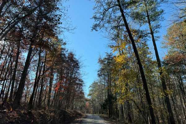
Hickory Grove Road - FS 255
FS 255, Hickory Grove Road, is a beautiful, scenic route through the Bankhead National Forest, offering stunning views, especially during the fall foliage season. The track leads down to a county road with access to other recreational areas as well. This is a must-do trip, featuring a well-maintaine...
Learn more about Hickory Grove Road - FS 255
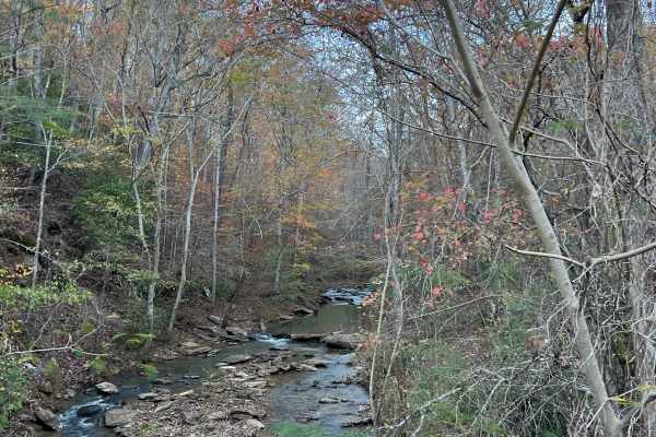
Inmanfield - FS266
This is a heavily traveled US Forest Service Road in the Bankhead National Forest of Alabama. This trail provides abundant access to wildlife and bird viewing and the surrounding forest. The road can be slick after rain, so use caution. Remember to always leave no trace, pack in, pack out, and most ...
Learn more about Inmanfield - FS266
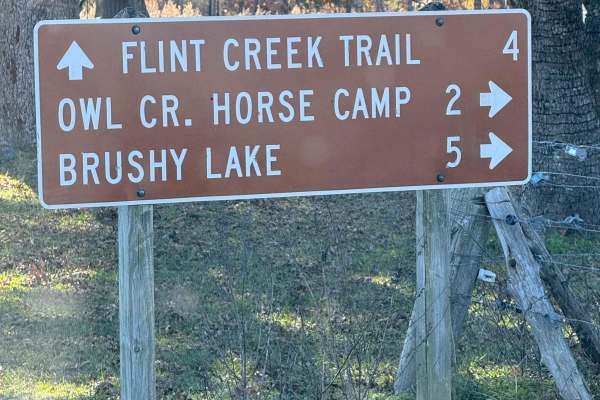
Owl Creek Road - FS 262
FS 262 is a one-lane gravel road, narrower than most others in the Bankhead National Forest. It provides access to the Al Creek Recreation Area, offering several large campsites along the route. The road also passes multiple closed roads and old roadbeds, providing ample opportunities for hiking and...
Learn more about Owl Creek Road - FS 262
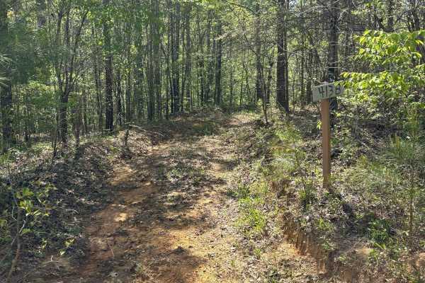
413B
Trail 413B is an easy trail through the woods. There are no major rock or mud obstacles. It was a little overgrown, but it was a very flat and short trail with no obstacles. This trail starts and ends off of trail 413.
Learn more about 413B
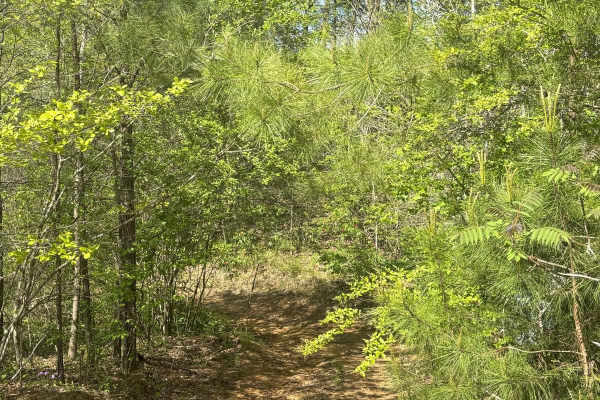
413A
Trail 413A was a pretty easy trail through the woods. This trail had some overgrown areas, but it is still passable. There were a couple of areas with a grade up and down, but no overly complicated or large obstacles.
Learn more about 413A
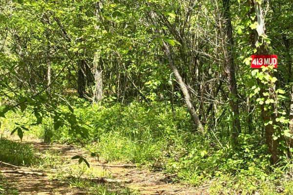
413 Mud
Trail 413 Mud needs a lot of maintenance and a lot of trail planning. There is one area that had a giant tree fall over the trail, but there is a trail around it, and it goes around through the woods to get towards the end. At the end of the trail, it is a steep grade to get off the trail, and you n...
Learn more about 413 Mud
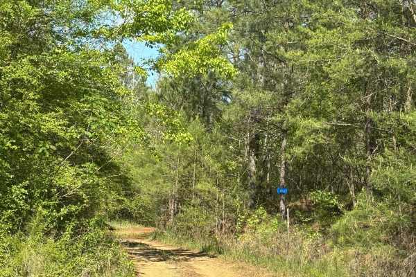
413
Trail 413 is a pretty easy trail. It did have some tight areas that could give some pin striping. It was a little overgrown, but there were no major rock or mud obstacles along this route. This was an all-dirt trail that starts on the main access trail and loops back around to itself.
Learn more about 413

414
Trail 414 starts out fairly easy, and then, about the midway point, there is a large ledge that's about 3 feet tall, and then several more ledges. This trail goes alongside the trail Rock Creek. The ledges you find along this trail are two to three feet tall each. One of the ledges has a slant downh...
Learn more about 414
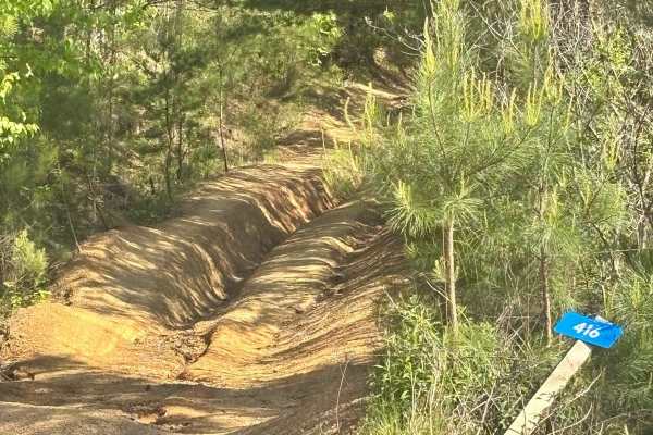
416
Trail 416 was a decently easy trail through the woods. There were no seriously steep grades, no major rock or mud obstacles. There were a couple of short drops made with washed-out roots from trees. This trail also takes you to the bottom of Stairway to Heaven.
Learn more about 416
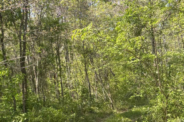
412
Trail 412 was all a downhill grade. There were no major rock or mud obstacles. There was one rut area that you could keep to the left to stay on Trail 412. At the end of the trail, you can keep straight or go left. Both ways are easy.
Learn more about 412
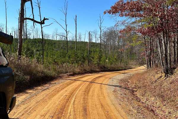
Mount Olive
This trail is mostly rough dirt roads barely big enough for two vehicles. There are some side trails that are gated and you will pass by some private property, so be cautious of any signage. It can be done in 2WD especially in good weather, though in wet conditions it may get slick on some hills, bu...
Learn more about Mount Olive
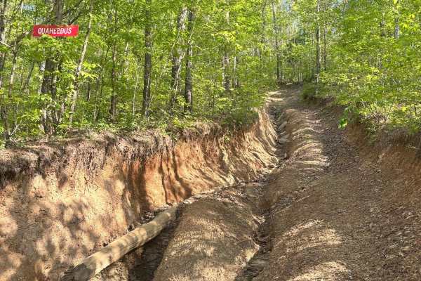
Quarheedus 24
Quarheedus starts along trail 418. It is a very difficult hill that involves 5 and 6 foot ledges. It is a very steep grade upwards along the whole route. This trail is not very long, but has several rock sections that are all very steep with large ledges.
Learn more about Quarheedus 24
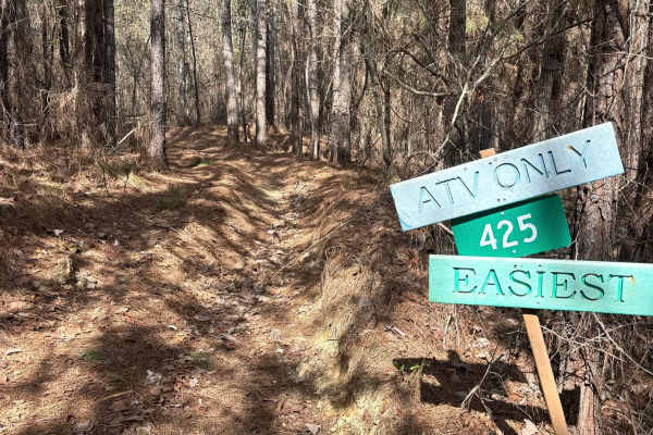
425
Trail 425 is an ATV only trail. The trail is not wide, and includes some tight turns. It has one mud obstacle in the trail. No major rock obstacles and no major mud obstacles. This trail is right off of the east main access trail and a small loop through the woods.
Learn more about 425
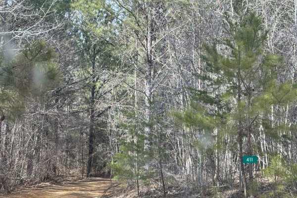
411
Trail 411 was all dirt trail with no major rock areas and no steep grades. There was a few short grades that were not very difficult and one tight turn in a spot. There was one ledge that was under 12". This trail starts on the far east side of the main access trail, and ends on the north side of th...
Learn more about 411
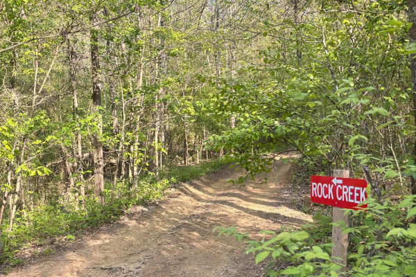
Rock Creek
Rock Creek is a long trail that is sometimes a dry creek bed, and other times it's active, depending on the time of year and the rainy season. This trail has very large boulders to take on. This trail has a lot of exit points that you can take to get off the trail, but the entire trail itself is lar...
Learn more about Rock Creek
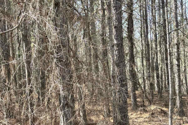
425A
Trail 425A is an ATV only trail. This trail is just a short loop through the woods off of the far east side of the main access road. There are 3 serious mud sections along this trail, and a lot of tight turns that make this trail only accessible by ATV.
Learn more about 425A
ATV trails near West Point, Alabama
Explore ATV-friendly trails near you. These trails are accessible for vehicles up to 50 inches wide, perfect for ATVs and smaller off-road machines.
County Road 198 - FS272
This is a sparsely traveled trail that follows the telephone lines and weaves through private property, offering beautiful views of the local farmlands and surrounding landscape. The trail can be tricky during the muddy season, so be sure to check local conditions before heading out, and remember to...
Learn more about County Road 198 - FS272
Flat Mountain Road - FS 270C
This is a tight, short out-and-back trail that winds through large stands of pine trees and passes old logging roads, along with a gate or two that are unlocked seasonally. Be sure to bring a saw, as fallen trees continue to block further access. The trail can be slick when muddy, so remember to tre...
Learn more about Flat Mountain Road - FS 270C
Clifty Fork Road - FS124
Clifty Fork Road- Forest Service Road 124 is a scenic, two-way country road that provides extensive access to other areas and trails. It offers ample opportunities for wildlife viewing and smooth, flowing travel. However, like many rural roads, it can be slick after rain or during muddy conditions. ...
Learn more about Clifty Fork Road - FS124
County Road 81 - FS 268
Forest Service Road 268 is a scenic, two-way country road that provides extensive access to other areas and trails. It offers ample opportunities for wildlife viewing and smooth, flowing travel. However, like many rural roads, it can be slick after rain or during muddy conditions. Be sure to leave n...
Learn more about County Road 81 - FS 268
UTV/side-by-side trails near West Point, Alabama
Find UTV and side-by-side trails near you. These trails accommodate vehicles up to 60 inches wide, ideal for UTVs, side-by-sides, and wider off-road rigs.
County Road 198 - FS272
This is a sparsely traveled trail that follows the telephone lines and weaves through private property, offering beautiful views of the local farmlands and surrounding landscape. The trail can be tricky during the muddy season, so be sure to check local conditions before heading out, and remember to...
Learn more about County Road 198 - FS272
Flat Mountain Road - FS 270C
This is a tight, short out-and-back trail that winds through large stands of pine trees and passes old logging roads, along with a gate or two that are unlocked seasonally. Be sure to bring a saw, as fallen trees continue to block further access. The trail can be slick when muddy, so remember to tre...
Learn more about Flat Mountain Road - FS 270C
Clifty Fork Road - FS124
Clifty Fork Road- Forest Service Road 124 is a scenic, two-way country road that provides extensive access to other areas and trails. It offers ample opportunities for wildlife viewing and smooth, flowing travel. However, like many rural roads, it can be slick after rain or during muddy conditions. ...
Learn more about Clifty Fork Road - FS124
County Road 81 - FS 268
Forest Service Road 268 is a scenic, two-way country road that provides extensive access to other areas and trails. It offers ample opportunities for wildlife viewing and smooth, flowing travel. However, like many rural roads, it can be slick after rain or during muddy conditions. Be sure to leave n...
Learn more about County Road 81 - FS 268
The onX Offroad Difference
onX Offroad combines trail photos, descriptions, difficulty ratings, width restrictions, seasonality, and more in a user-friendly interface. Available on all devices, with offline access and full compatibility with CarPlay and Android Auto. Discover what you're missing today!
Open Trail Map