
Dirt Bike Trails
Near West Hamlin, West Virginia
Explore All Dirt Bike Trails Near West Hamlin, West Virginia
Dirt Bike Trails Near West Hamlin, West Virginia
Discover the best dirt bike trails near you. Browse trail maps, check difficulty ratings, and find your next adventure — whether you're looking for a quick ride or an all-day expedition.
Pucker Up
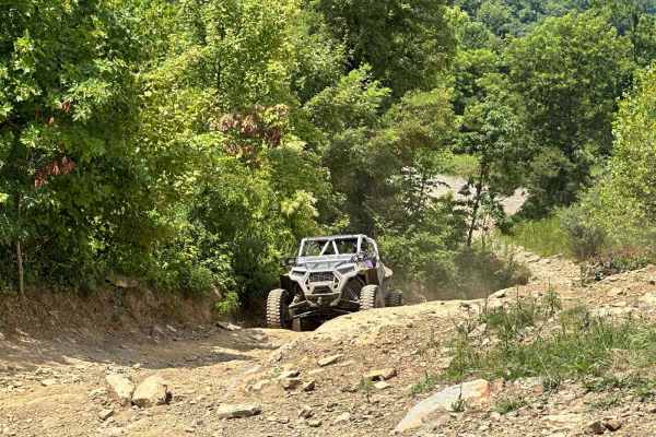
Pucker Up is a short trail that goes up a series of rock climbs over slick rock, with a hard right turn at the top of one that will indeed make you pucker up. As always ride at your own discretion; only you know your capabilities and please be safe.
Learn more about Pucker Up
Turned Up
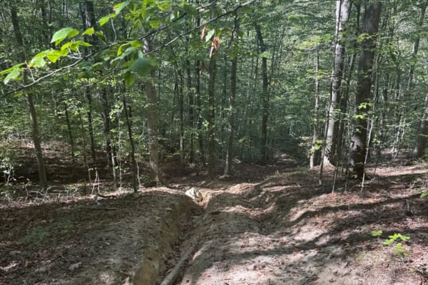
This trail is not for the faint of heart. Coming from the Stone Bridge side, it consists of tight turns and a ver,y very steep and rutted out incline that was extremely difficult to climb. I suggest not trying this alone and making sure your recovery equipment is readily accessible before starting u...
Learn more about Turned Up
Sawblade
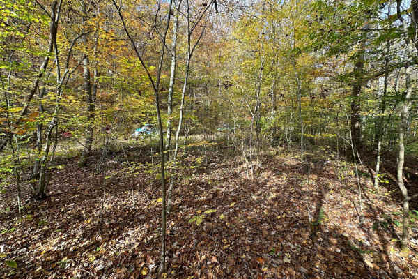
This is a very rough and rocky trail with extremely tight maneuvering and off-camber moments. Please use extreme caution when riding this trail. It is a moderately tough trail; have a winch and recovery gear available. If you like a challenging trail, you won't be disappointed.
Learn more about Sawblade
Stonebridge Trail
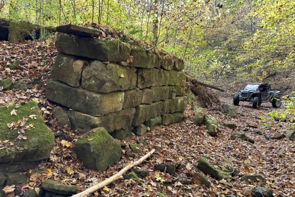
On this very scenic ride down along the creek, you will pass the remains of two bridges. The first will be on the left and is the larger of the two. The next will be on the right and is slightly smaller. This is an awesome place to get out and look around. This is a really mild trail little to no ob...
Learn more about Stonebridge Trail
Jaw Bone
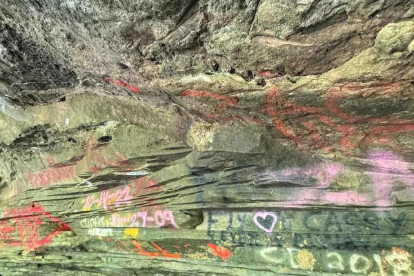
This trail is rough and jagged with some deep ruts and off-camber spots. Most of the trail is hard-packed mud and rock but there are some mud holes. Enjoy the scenery as parts of the trail are lakeside to East Lynn Lake. Several side shoots access the lake.
Learn more about Jaw Bone
Lake Loop
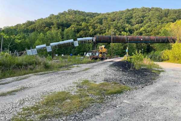
The trail is very muddy since it is lakeside;at one point, you may actually get in the water depending on the time of year you are riding. This trail runs parallel with the Rich Creek branch of East Lynn Lake and there are several spots to pull off and fish or swim.
Learn more about Lake Loop
Top of The Ridge Trail
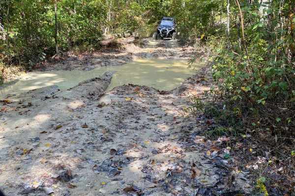
This trail is Easy/Medium in terms of difficulty. The trail starts on a paved road, then quickly turns to dirt for the majority of the trail. There are hills, mud, and woods that have to be navigated as you get farther down the trail. There is much more exploring to do along the trail as the area is...
Learn more about Top of The Ridge Trail
Devils Stairway
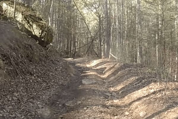
The trail is accessed from Water Holler and connects to Lycan's Ridge. It is very rocky and rutted on a fairly steep incline. Please be cautious and pick your lines near the top. The pictures don't do the rock garden justice. These rocks are somewhat large and difficult to navigate.
Learn more about Devils Stairway
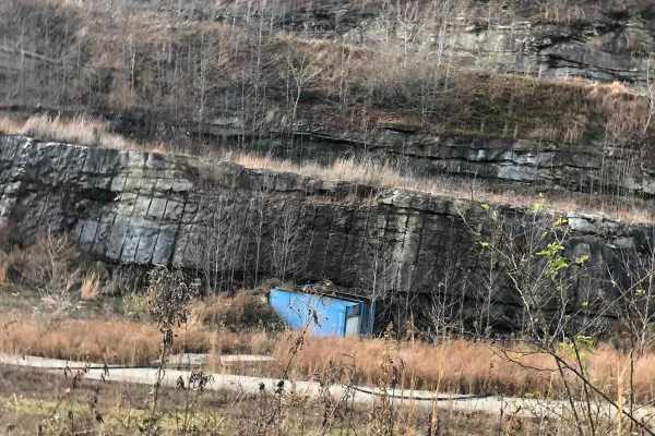
Lycans Ridge
This trail is Easy/Medium in terms of difficulty. The trail starts on a paved road, then quickly turns to dirt for the majority of the trail. There are hills, mud and woods that have to be navigated as you get farther down the trail. There is much more exploring to do along the trail as the area is ...
Learn more about Lycans Ridge
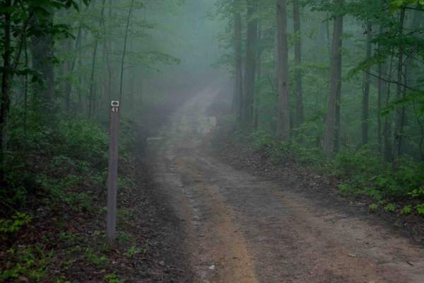
IB 41
IB 41 is an easy trail that runs along a hilltop, descending gradually from west to east. The route is mostly wide and smooth with shallow ruts, but it narrows in sections, especially where it passes between tall, banked dirt walls. Drivers should watch for decomposing downed logs that can be slick,...
Learn more about IB 41
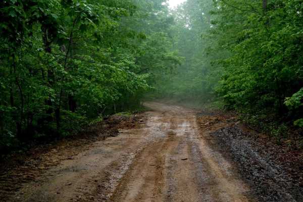
IB 12
IB 12 is a 2-mile easy route along the western edge of the Ivy Branch trail system. It's a wide, smooth trail with shallow ruts, occasional mud puddles, and good visibility for oncoming traffic. Loose rock and debris are mostly pushed to the sides. The route includes water bars and gentle hills with...
Learn more about IB 12
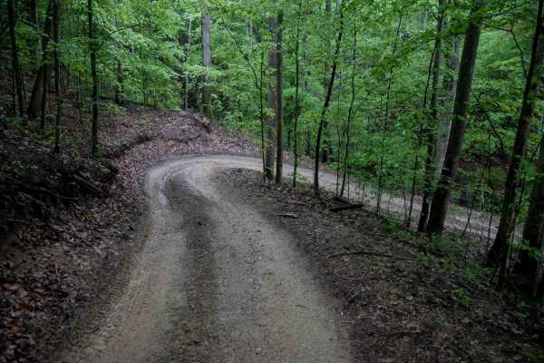
IB 44
IB 44 is a narrow, shelf-style trail running along the edge of a hillside. The surface is smooth with grass growing in the center from light use, and there are no major rocks or obstacles. The route includes some steeper sections, along with a few tighter corners and small hills up and down. A shall...
Learn more about IB 44
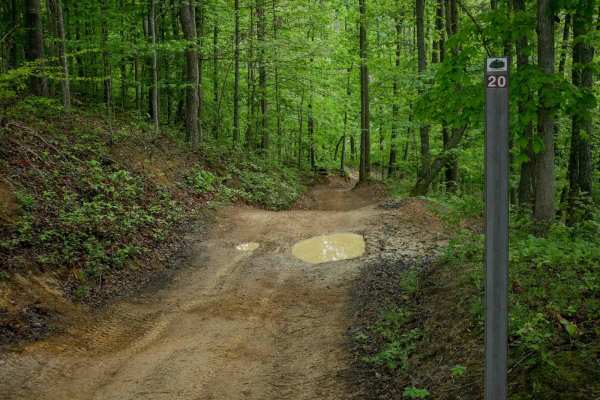
IB 20
IB 20 is a 1-mile trail that is generally smooth and decently wide, with waterbars, mud puddles, and minor loose rock and ruts. It includes some steeper climbing sections with uneven ground and a few narrower areas, but overall remains gradual and easy. Located near other easy trails such as IB 18, ...
Learn more about IB 20
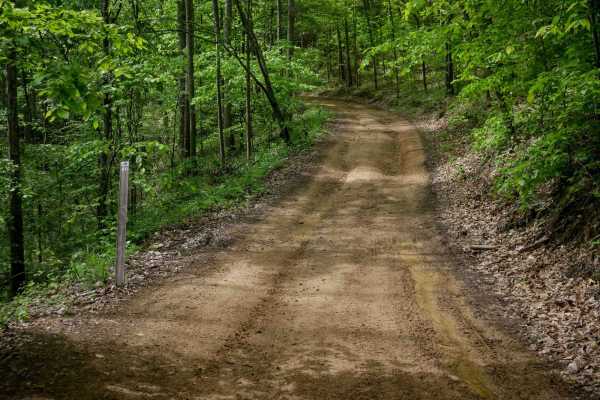
IB 50
IB 50 is a 2-mile intermediate access corridor that runs across the trail system. It is a smooth, wide route cut into the hillside, with mud puddles, minor ruts, and good visibility through several well-marked intersections. The trail includes small loose rocks and some narrower sections with more e...
Learn more about IB 50
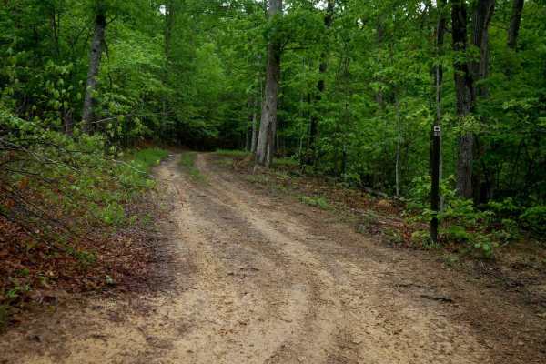
IB 53
IB 53 is an easier one-lane width trail stretching 0.8 miles with a smooth surface and gradual turns. While mostly free of roots and larger rocks, drivers should expect occasional puddles, short steep hills, and low-hanging branches. The trail cuts across the hillside with some shelfy sections, and ...
Learn more about IB 53

IB 24
IB 24 forms a 1.5-mile loop off of IB 12, winding through lush, mossy forest with consistent shade and greenery. This one-lane-width trail is shelf-cut into the hillside, with gentle climbs and descents, shallow ruts, and mud puddles. Most loose rock is pushed to the sides, but the ground remains un...
Learn more about IB 24

IB 77
IB 77 is a 0.7-mile trail with a rutted, uneven path featuring loose rocks, shallow to deeper ruts, embedded rock surfaces, and sharp, slightly off-camber corners. The trail descends steeply from the east and becomes more gradual toward the west. It serves as a connector to several advanced trails, ...
Learn more about IB 77
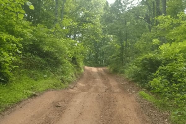
Honey Trace Hill
This trail offers a moderate challenge, beginning in a creek before climbing quickly up the mountain. Expect steep inclines, muddy sections, and wooded areas that require careful navigation. The route provides plenty of opportunities for exploration and scenic views. It finishes with a steep downhil...
Learn more about Honey Trace Hill

IB 78
IB 78 begins with an easy section on the west end, before dropping into a hollow, running directly through a stream with loose rocks and rock shelves. As the trail follows the base of the hills in a ravine, drivers encounter slickrock layers and technical rock shelf obstacles, including boulder drop...
Learn more about IB 78

IB 94
IB 94 is a short, advanced trail off IB 78 that descends down several technical obstacles when going eastbound. The trail features a steep, rutted descent into a rocky, narrow ravine, with several slickrock waterfall shelves likely covered in water, with additional log debris and downed trees. It in...
Learn more about IB 94
ATV trails near West Hamlin, West Virginia
Explore ATV-friendly trails near you. These trails are accessible for vehicles up to 50 inches wide, perfect for ATVs and smaller off-road machines.
Pucker Up
Pucker Up is a short trail that goes up a series of rock climbs over slick rock, with a hard right turn at the top of one that will indeed make you pucker up. As always ride at your own discretion; only you know your capabilities and please be safe.
Learn more about Pucker Up
Turned Up
This trail is not for the faint of heart. Coming from the Stone Bridge side, it consists of tight turns and a ver,y very steep and rutted out incline that was extremely difficult to climb. I suggest not trying this alone and making sure your recovery equipment is readily accessible before starting u...
Learn more about Turned Up
Sawblade
This is a very rough and rocky trail with extremely tight maneuvering and off-camber moments. Please use extreme caution when riding this trail. It is a moderately tough trail; have a winch and recovery gear available. If you like a challenging trail, you won't be disappointed.
Learn more about Sawblade
Stonebridge Trail
On this very scenic ride down along the creek, you will pass the remains of two bridges. The first will be on the left and is the larger of the two. The next will be on the right and is slightly smaller. This is an awesome place to get out and look around. This is a really mild trail little to no ob...
Learn more about Stonebridge Trail
UTV/side-by-side trails near West Hamlin, West Virginia
Find UTV and side-by-side trails near you. These trails accommodate vehicles up to 60 inches wide, ideal for UTVs, side-by-sides, and wider off-road rigs.
Pucker Up
Pucker Up is a short trail that goes up a series of rock climbs over slick rock, with a hard right turn at the top of one that will indeed make you pucker up. As always ride at your own discretion; only you know your capabilities and please be safe.
Learn more about Pucker Up
Turned Up
This trail is not for the faint of heart. Coming from the Stone Bridge side, it consists of tight turns and a ver,y very steep and rutted out incline that was extremely difficult to climb. I suggest not trying this alone and making sure your recovery equipment is readily accessible before starting u...
Learn more about Turned Up
Sawblade
This is a very rough and rocky trail with extremely tight maneuvering and off-camber moments. Please use extreme caution when riding this trail. It is a moderately tough trail; have a winch and recovery gear available. If you like a challenging trail, you won't be disappointed.
Learn more about Sawblade
Stonebridge Trail
On this very scenic ride down along the creek, you will pass the remains of two bridges. The first will be on the left and is the larger of the two. The next will be on the right and is slightly smaller. This is an awesome place to get out and look around. This is a really mild trail little to no ob...
Learn more about Stonebridge Trail
The onX Offroad Difference
onX Offroad combines trail photos, descriptions, difficulty ratings, width restrictions, seasonality, and more in a user-friendly interface. Available on all devices, with offline access and full compatibility with CarPlay and Android Auto. Discover what you're missing today!
Open Trail Map