
Dirt Bike Trails
Near Weogufka, Alabama
Explore All Dirt Bike Trails Near Weogufka, Alabama
Dirt Bike Trails Near Weogufka, Alabama
Discover the best dirt bike trails near you. Browse trail maps, check difficulty ratings, and find your next adventure — whether you're looking for a quick ride or an all-day expedition.
18
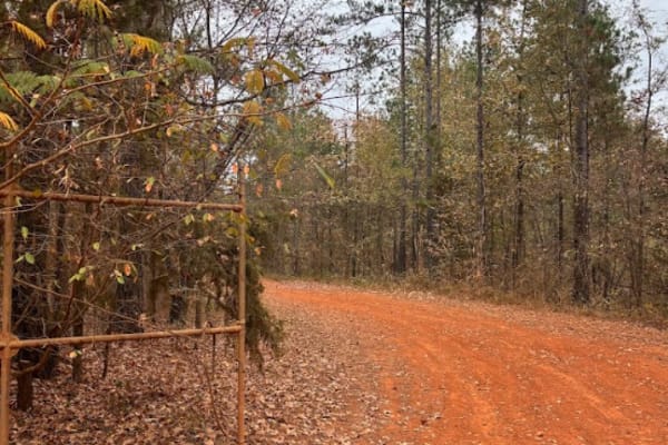
This is a main road that goes around the whole outside of the grid. This trail connects you to all of the trails in the park. There is no difficulty on this route, but you do need to follow the speed limit posted, 15 miles per hour, because of safety and wild animals. There are a lot of intersection...
Learn more about 18
31
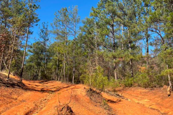
Trail 31 has a lot of rock obstacles going up and down the mountain. It starts from the top of Clay Hill and goes about a mile to connect you to trail 24. Most of the areas that have any major obstacles have some bypasses to go around. There are some deep ruts in some areas on this trail. Vehicles o...
Learn more about 31
20 Main
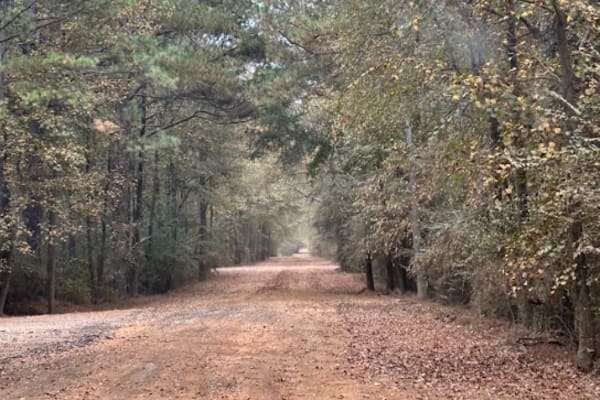
This trail is mostly gravel and dirt road. The speed limit is 15 mph and is regulated by park security. This trail will take you from the main office to the left and right side of the grid. You will take this route to get to any of the rental bunkers, or campsites.
Learn more about 20 Main
2
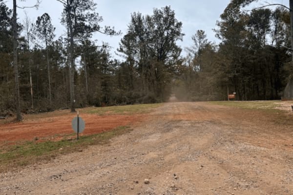
This main road houses several rental camp spots and rented bunkers along its path. It connects the front of the park, Trail 20, to the back of the grid, Trail 18. It also intersects with Trail 19 at around the midway point.
Learn more about 2
57
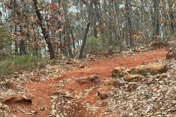
Trail 57 is the hardest trail in the park. This trail was taken by a 95-inch wide full-size vehicle, and some areas were very tight, with close calls to hitting and squeezing between trees. The park was alerted to widen this trail some and it needs to be maintained by the park. They said they were w...
Learn more about 57
3
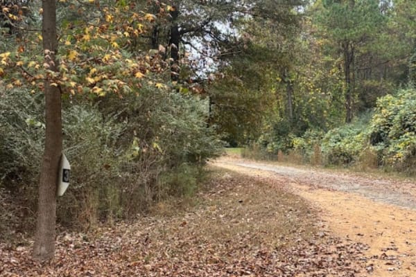
This main road houses several rental camp spots and rented bunkers along its path. It connects the front of the park, Trail 20, to the back of the grid, Trail 18. It also intersects with Trail 19 at around the midway point.
Learn more about 3
4
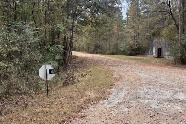
This main road houses several rental camp spots and rented bunkers along its path. It connects the front of the park, Trail 20, to the back of the grid, Trail 18. It also intersects with Trail 19 at around the midway point.
Learn more about 4
51
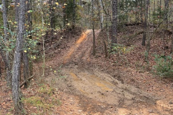
Very good trail for a novice driver. The trail had a lot of mud holes, with options to go around, and at the time of year this was recorded, (Fall), it was quite dry and easy to get through the mud hole areas. The trail did have a good-sized hill climb to go up as well, which was not difficult and v...
Learn more about 51
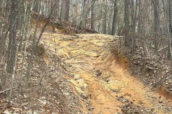
31A
Trail 31 is a moderatly easy trail with one exception of a pretty decent hill climb with some rocks at the top. The trail is set wide throughout the whole way, with no tight squeezes. It is a bypass trail for a section of Trail 31. It also intersects with Trail 23.
Learn more about 31A
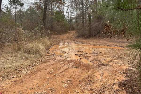
22
Trail 22 was a fairly easy trail with multiple other trail crossings along the route. There was one good hill climb area around the middle part of the trail where Trail 57 intersects with it. Not anything that has to be completed, but it is an area to play on. Trail 22 has no mandatory hill climbs i...
Learn more about 22
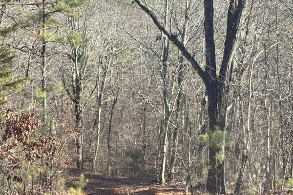
22A
Trail 22A is a connector trail between Trail 22 and Trail 57. The trail is either all incline or all decline, depending on which route you come in on. It has deep ruts going throughout most of the trail, but it does have a wide area to the side of the rut for most vehicles to be able to take without...
Learn more about 22A
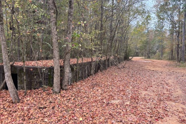
Old Railroad Bed
This trail is an old railroad bed from when the park was a military base. This railroad was used for years delivering and shipping goods to the base. There are four old loading docks along the route, as well as some original rails at some intersections. This is a fun trail to take you around the ver...
Learn more about Old Railroad Bed
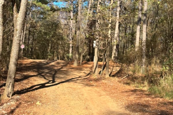
Trailhead from Campground
This is a trailhead leading from the campground to the main park. It is to help keep the offroad vehicle traffic away from the front office. It is a very short route that also has a bathroom located on the trail, and brings you out to the main grid to start trailing.
Learn more about Trailhead from Campground
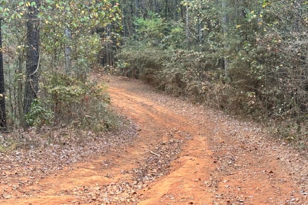
1
This main road houses two rental camp spots and rented bunkers along its path. It connects the front of the park, Trail 20, to Trail 18, which goes all the way around the grid. This trail also takes you to Clay Hill, and trail 31. This trail is more dirt than it is gravel, and only houses two bunker...
Learn more about 1
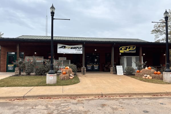
Main Entrance / Environmental Center
This is the entrance to the park. You will go through a gate to enter, and park on the designated parking spots on the left or right side of the road before you walk into the main building to sign the waiver and register you and your vehicle. There are restrooms, as well as showers, ($3 fee for show...
Learn more about Main Entrance / Environmental Center

12
This is the main road from the front entrance to the back of the grid. The trail connects to trail 18, and Trail 19 intersects at the halfway point. On this road you will come across the south parking lot first, and then the north parking lot at the end. At the midway point, you will also find the f...
Learn more about 12
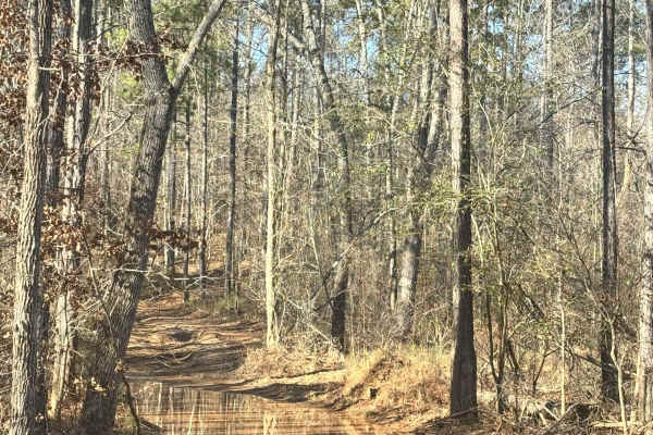
17
Trail 17 is a connector trail from the top west side of the grid to Trail 22. It has a couple rutted areas along it that are over 12 inches deep and a handful of mud obstacles along the way. Some of the mud areas more difficult than others, but most have by-passes.
Learn more about 17
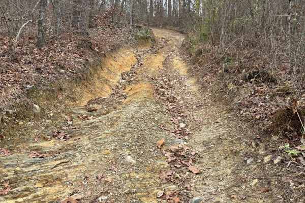
23
Trail 23 is a moderate trail area with a lot of steep grades that make this trail a higher difficulty rating, but still very doable in most 4x4s. Several mud obstacles and rock obstacles along the way with some tight areas that squeezed the tires to get through in our full-size vehicle. Some of the ...
Learn more about 23
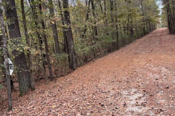
13
This main road houses several rental camp spots and rented bunkers along its path. It connects the front of the park, Trail 20, to the back of the grid, Trail 18. It also intersects with Trail 19 at around the midway point.
Learn more about 13
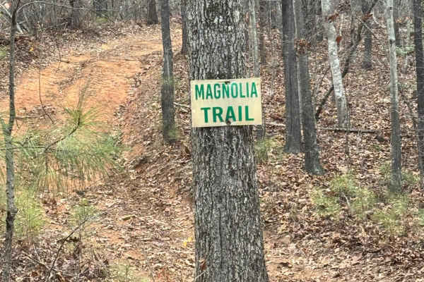
Magnolia Trail
Magnolia Trail is a shorter trail that has some good inclines and declines along the route. It has a couple of mudholes that may be more difficult on a wet day, and a couple of tight areas to work around with trees. We took a full-size 95 inch vehicle through the trail and fit the entire way.
Learn more about Magnolia Trail
ATV trails near Weogufka, Alabama
Explore ATV-friendly trails near you. These trails are accessible for vehicles up to 50 inches wide, perfect for ATVs and smaller off-road machines.
18
This is a main road that goes around the whole outside of the grid. This trail connects you to all of the trails in the park. There is no difficulty on this route, but you do need to follow the speed limit posted, 15 miles per hour, because of safety and wild animals. There are a lot of intersection...
Learn more about 18
31
Trail 31 has a lot of rock obstacles going up and down the mountain. It starts from the top of Clay Hill and goes about a mile to connect you to trail 24. Most of the areas that have any major obstacles have some bypasses to go around. There are some deep ruts in some areas on this trail. Vehicles o...
Learn more about 31
20 Main
This trail is mostly gravel and dirt road. The speed limit is 15 mph and is regulated by park security. This trail will take you from the main office to the left and right side of the grid. You will take this route to get to any of the rental bunkers, or campsites.
Learn more about 20 Main
2
This main road houses several rental camp spots and rented bunkers along its path. It connects the front of the park, Trail 20, to the back of the grid, Trail 18. It also intersects with Trail 19 at around the midway point.
Learn more about 2
UTV/side-by-side trails near Weogufka, Alabama
Find UTV and side-by-side trails near you. These trails accommodate vehicles up to 60 inches wide, ideal for UTVs, side-by-sides, and wider off-road rigs.
18
This is a main road that goes around the whole outside of the grid. This trail connects you to all of the trails in the park. There is no difficulty on this route, but you do need to follow the speed limit posted, 15 miles per hour, because of safety and wild animals. There are a lot of intersection...
Learn more about 18
31
Trail 31 has a lot of rock obstacles going up and down the mountain. It starts from the top of Clay Hill and goes about a mile to connect you to trail 24. Most of the areas that have any major obstacles have some bypasses to go around. There are some deep ruts in some areas on this trail. Vehicles o...
Learn more about 31
20 Main
This trail is mostly gravel and dirt road. The speed limit is 15 mph and is regulated by park security. This trail will take you from the main office to the left and right side of the grid. You will take this route to get to any of the rental bunkers, or campsites.
Learn more about 20 Main
2
This main road houses several rental camp spots and rented bunkers along its path. It connects the front of the park, Trail 20, to the back of the grid, Trail 18. It also intersects with Trail 19 at around the midway point.
Learn more about 2
The onX Offroad Difference
onX Offroad combines trail photos, descriptions, difficulty ratings, width restrictions, seasonality, and more in a user-friendly interface. Available on all devices, with offline access and full compatibility with CarPlay and Android Auto. Discover what you're missing today!
Open Trail Map