
Dirt Bike Trails
Near Wacissa, Florida
Explore All Dirt Bike Trails Near Wacissa, Florida
Dirt Bike Trails Near Wacissa, Florida
Discover the best dirt bike trails near you. Browse trail maps, check difficulty ratings, and find your next adventure — whether you're looking for a quick ride or an all-day expedition.
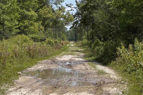
Grade 15 - Aucilla WMA
Grade 15 takes you through the southern part of the Aucilla Wildlife Management Area from north to south and gives you access to several hiking and biking trails. The road conditions are a mixture of packed sand, loose sand, some deep mud holes, and creek crossings. They can turn into 3 feet deep an...
Learn more about Grade 15 - Aucilla WMA
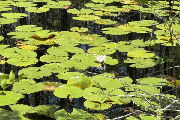
Grade 19.5 - Aucilla WMA
Grade 19.5 takes you through the southern part of the Aucilla Wildlife Management Area from west to east and gives you access to several hiking and biking trails. The road conditions are a mixture of packed sand, loose sand, some deep mud holes, and creek crossings. They can turn into 3 feet deep an...
Learn more about Grade 19.5 - Aucilla WMA
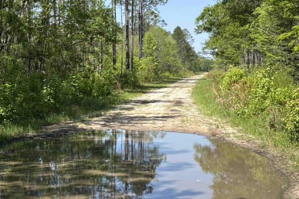
Grade 18.5 - Aucilla WMA
The Grade 18.5 takes you through the southern part of the Aucilla Wildlife Management Area from west to east and gives you access to several hiking and biking trails. The road conditions are a mixture of packed sand, loose sand, some deep mud holes, and creek crossings. They can turn into 3 feet dee...
Learn more about Grade 18.5 - Aucilla WMA
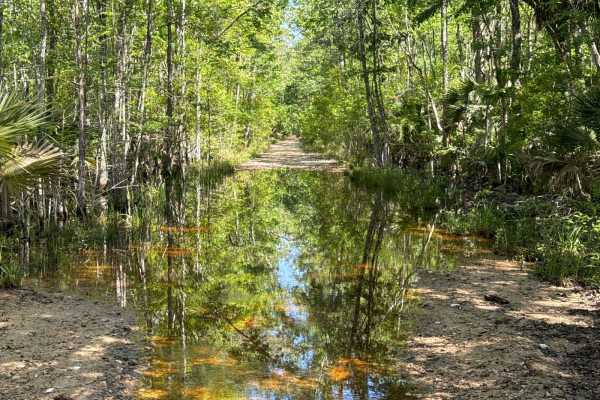
Firebreak 14 - Aucilla WMA
The Firebreak 14 takes you through the southern part of the Aucilla Wildlife Management Area and gives you access to several hiking and biking trails. The road conditions are a mixture of packed sand, loose sand, some deep mud holes, and creek crossings. They can turn into 3 feet deep and hundreds o...
Learn more about Firebreak 14 - Aucilla WMA
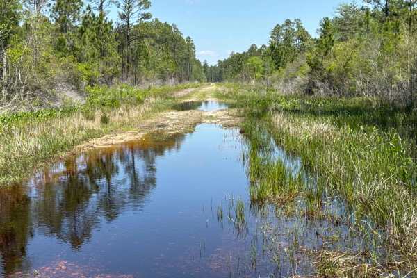
Gum Creek Road - Aucilla WMA
Gum Creek Road takes you through the southern part of the Aucilla Wildlife Management Area from north to south and gives you access to several hiking and biking trails. The road conditions are a mixture of packed sand, loose sand, some deep mud holes, and creek crossings. They can turn into 3 feet d...
Learn more about Gum Creek Road - Aucilla WMA
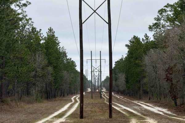
Powerline East - FS 300-C
The Powerline East, also known as Apalachicola National Forest Road 300-C, connects US 319 at the north end and FS 363 at the south end. It takes you through the north east part of the Apalachicola National Forest, and takes you along the power lines, and provides access to several trails left and r...
Learn more about Powerline East - FS 300-C
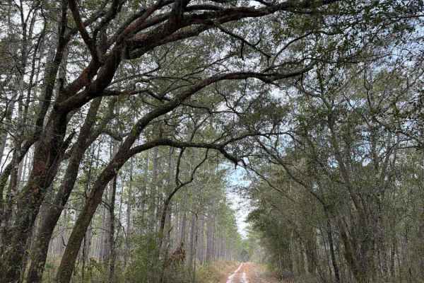
Black Top - FS 379
Black Top, also known as Apalachicola National Forest Road 379, connects US 319 at the west end and CR 363 at the east end. It takes you through the north-east part of the Apalachicola National Forest and gives you access to several trails in the area. The road conditions are a mixture of packed san...
Learn more about Black Top - FS 379
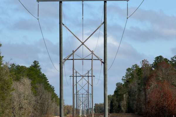
Powerline West - FS 300-A
The Powerline West, also known as Apalachicola National Forest Road 300-A, connects County Road 2203 at the north end and Freebirds South at the south end. It takes you through the north-east part of the Apalachicola National Forest. The south end of the trail takes you along the power lines, while ...
Learn more about Powerline West - FS 300-A
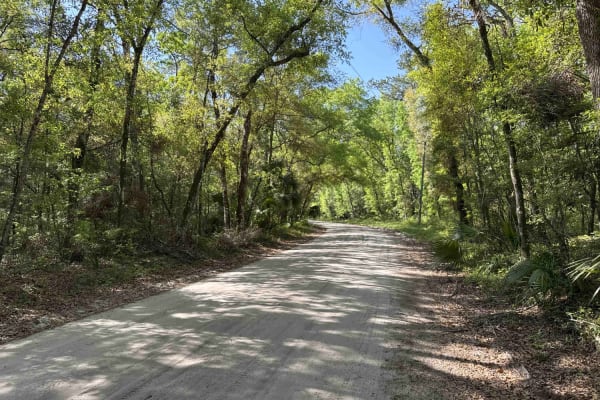
Wakulla Beach
The Wakulla Beach Road takes you through the western part of the St. Marks National Wildlife Refuge and gives you access to the Wakulla Beach, part of the Goose Creek Bay. The road conditions are a mixture of packed sand, loose sand, some deep holes, and ditches that can turn into 2-foot deep mud ho...
Learn more about Wakulla Beach
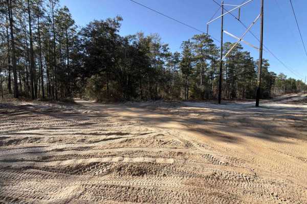
Springhill Cut-Off - FS 317
The Springhill Cut-Off, also known as Apalachicola National Forest Road 317, connects the Leslie trail at the south end and the Freebird South trail at the north end. It takes you through the north-east part of the Apalachicola National Forest along the power lines and gives you access to several OH...
Learn more about Springhill Cut-Off - FS 317
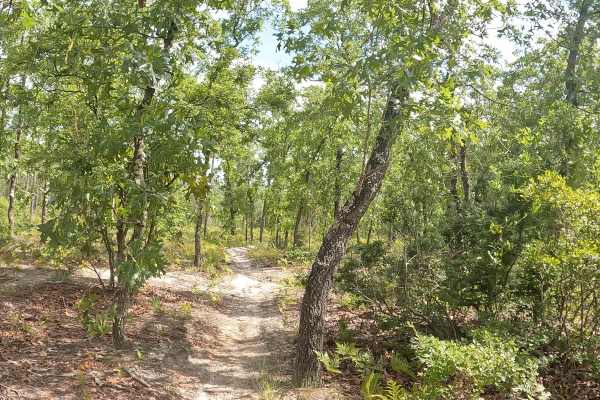
FS 12R
FS 14 is located within the Apalachicola National Forest. This bi-directional trail delivers maximum fun no matter which direction you ride, taking you deep into dense woods featuring small, rolling hills and incredibly sharp turns. Riders need to watch their speed closely, as the trail dips very qu...
Learn more about FS 12R
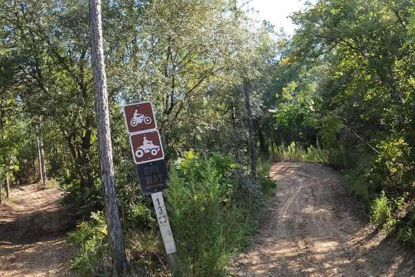
Forest Service 14
FS 14 consists of USFS 14a,14b 14r, and is located on the Apalachicola National Forest. This bi-directional single trail has many sharp turns, sandy berms, ups and downs, and plenty of whoops. From the parking lot, stay right as you enter the 50-inch trail. About a quarter of a mile on the left (no...
Learn more about Forest Service 14
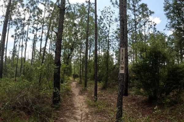
FS 13R
FS 13R is located in the scenic Apalachicola National Forest. This bi-directional trail features terrain changing from hard-pack sand to a softer, leafy woods dirt, with a canopy of tall trees lining either side of the path. It is a smooth, straightforward ride with no whoops and no berms to worry a...
Learn more about FS 13R
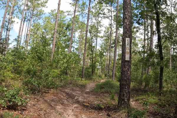
FS 12
FS 12 is located within the Apalachicola National Forest. While officially marked as a single-track trail, portions are wider. As you ride, the trail intersects with a powerline access road —keep a sharp lookout for ground posts in this area, and there are also no stop signs. The route also passes b...
Learn more about FS 12
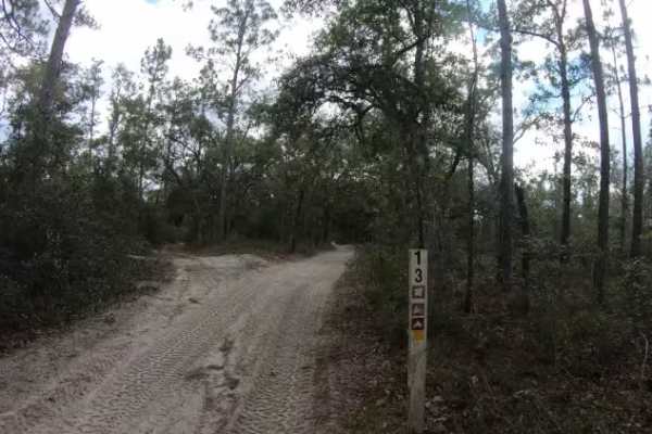
Cross Over Trail - FS 13
FS 13 Cross Over Trail is located in the Apalachicola National Forest and connects many of the single-track trails. This bi-directional, hard-packed, sandy road tends to invite higher speeds from riders. Because there are numerous intersections without stop signs, please exercise caution and watch ...
Learn more about Cross Over Trail - FS 13
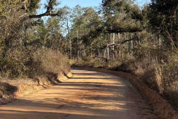
LL Wallace Road - FS 620
The LL Wallace Road, also known as Apalachicola National Forest Road 620, connects County Road 2203 at the west end and US Route 319 at the east end. It takes you through the north-east part of the Apalachicola National Forest and gives you access to several OHV trails. The road conditions are a mix...
Learn more about LL Wallace Road - FS 620
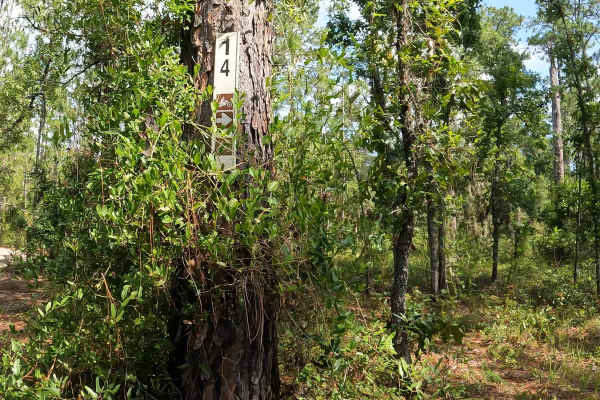
FS 14
FS 14 is located in the Apalachicola National Forest. This trail is not clearly marked. The terrain features a solid base of sand and hard-packed dirt. Riders should stay sharp—the trail is heavily peppered with lots of whoops, loose sand berms, low-hanging vines, and occasional fallen trees, which ...
Learn more about FS 14
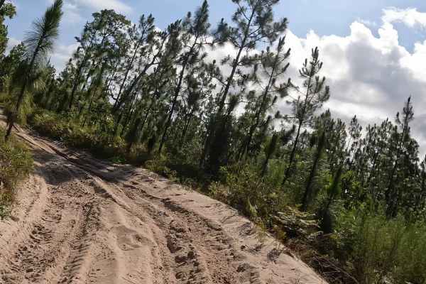
FS 13
FS 13 is located within the Apalachicola National Forest. This bi-directional, 50-inch trail primarily features white, hard-packed sand, though riders will encounter occasional sections of deeper, loose sand and prominent sandy berms. Because the trail lacks heavy tree coverage, the sandy terrain st...
Learn more about FS 13
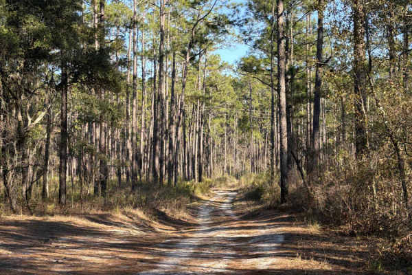
Leslie - FS 362
The Leslie Trail, also known as Apalachicola National Forest Road 362, connects CR2203 at the west end and the Springhill Cut Off at the east end. It takes you through the north-east part of the Apalachicola National Forest and gives you access to several OHV trails. The road conditions are a mixtur...
Learn more about Leslie - FS 362
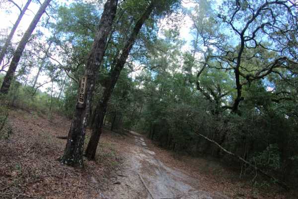
FS 11B
FS 11B is located within the Apalachicola National Forest. This bi-directional, 50-inch wide trail features a primarily flat terrain composed of smooth, hard-packed sand that makes for a fast and stable ride. While the route was originally designated for two-wheel dirt bikes only, it has since evol...
Learn more about FS 11B
ATV trails near Wacissa, Florida
Explore ATV-friendly trails near you. These trails are accessible for vehicles up to 50 inches wide, perfect for ATVs and smaller off-road machines.
Grade 15 - Aucilla WMA
Grade 15 takes you through the southern part of the Aucilla Wildlife Management Area from north to south and gives you access to several hiking and biking trails. The road conditions are a mixture of packed sand, loose sand, some deep mud holes, and creek crossings. They can turn into 3 feet deep an...
Learn more about Grade 15 - Aucilla WMA
Grade 19.5 - Aucilla WMA
Grade 19.5 takes you through the southern part of the Aucilla Wildlife Management Area from west to east and gives you access to several hiking and biking trails. The road conditions are a mixture of packed sand, loose sand, some deep mud holes, and creek crossings. They can turn into 3 feet deep an...
Learn more about Grade 19.5 - Aucilla WMA
Grade 18.5 - Aucilla WMA
The Grade 18.5 takes you through the southern part of the Aucilla Wildlife Management Area from west to east and gives you access to several hiking and biking trails. The road conditions are a mixture of packed sand, loose sand, some deep mud holes, and creek crossings. They can turn into 3 feet dee...
Learn more about Grade 18.5 - Aucilla WMA
Firebreak 14 - Aucilla WMA
The Firebreak 14 takes you through the southern part of the Aucilla Wildlife Management Area and gives you access to several hiking and biking trails. The road conditions are a mixture of packed sand, loose sand, some deep mud holes, and creek crossings. They can turn into 3 feet deep and hundreds o...
Learn more about Firebreak 14 - Aucilla WMA
UTV/side-by-side trails near Wacissa, Florida
Find UTV and side-by-side trails near you. These trails accommodate vehicles up to 60 inches wide, ideal for UTVs, side-by-sides, and wider off-road rigs.
Grade 15 - Aucilla WMA
Grade 15 takes you through the southern part of the Aucilla Wildlife Management Area from north to south and gives you access to several hiking and biking trails. The road conditions are a mixture of packed sand, loose sand, some deep mud holes, and creek crossings. They can turn into 3 feet deep an...
Learn more about Grade 15 - Aucilla WMA
Grade 19.5 - Aucilla WMA
Grade 19.5 takes you through the southern part of the Aucilla Wildlife Management Area from west to east and gives you access to several hiking and biking trails. The road conditions are a mixture of packed sand, loose sand, some deep mud holes, and creek crossings. They can turn into 3 feet deep an...
Learn more about Grade 19.5 - Aucilla WMA
Grade 18.5 - Aucilla WMA
The Grade 18.5 takes you through the southern part of the Aucilla Wildlife Management Area from west to east and gives you access to several hiking and biking trails. The road conditions are a mixture of packed sand, loose sand, some deep mud holes, and creek crossings. They can turn into 3 feet dee...
Learn more about Grade 18.5 - Aucilla WMA
Firebreak 14 - Aucilla WMA
The Firebreak 14 takes you through the southern part of the Aucilla Wildlife Management Area and gives you access to several hiking and biking trails. The road conditions are a mixture of packed sand, loose sand, some deep mud holes, and creek crossings. They can turn into 3 feet deep and hundreds o...
Learn more about Firebreak 14 - Aucilla WMA
The onX Offroad Difference
onX Offroad combines trail photos, descriptions, difficulty ratings, width restrictions, seasonality, and more in a user-friendly interface. Available on all devices, with offline access and full compatibility with CarPlay and Android Auto. Discover what you're missing today!
Open Trail Map