
Dirt Bike Trails
Near Ukiah, Oregon
Explore All Dirt Bike Trails Near Ukiah, Oregon
Dirt Bike Trails Near Ukiah, Oregon
Discover the best dirt bike trails near you. Browse trail maps, check difficulty ratings, and find your next adventure — whether you're looking for a quick ride or an all-day expedition.
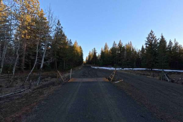
FS 5312
FS 5312 is a 6.7-mile point-to-point trail beginning at its intersection with FS 53 and terminating at FS 5320. The road surface is wide, well-maintained, and generally smooth, with some sections of washboarding and water damage. In wet conditions, the road surface can become soft. This trail is man...
Learn more about FS 5312
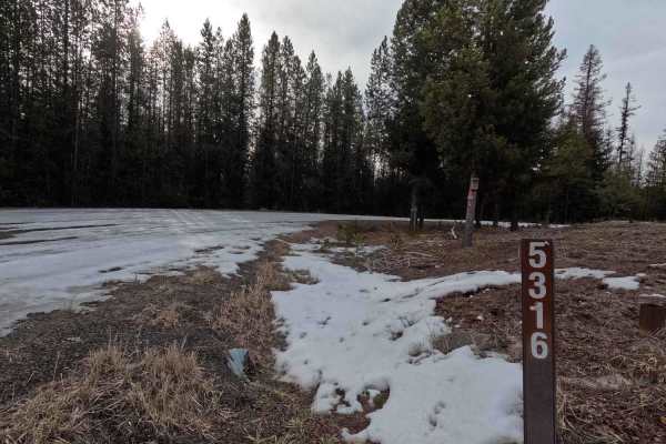
FS 5316
FS 5316 is a 15.9-mile out-and-back trail branching off FS 53 and winding through the Umatilla National Forest before terminating at a private property boundary 1 mile past Potamus Point. The trail is wide, gravel, and well-maintained with only sparse washboarding and potholes throughout; however, t...
Learn more about FS 5316
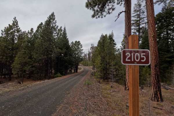
FS 2105
FS 2015 is an 8.3-mile point-to-point gravel road connecting FS 5316 with FS 2104. Starting from the east at the intersection with FS 2104, the trail descends into a canyon with steep sections in areas before crossing several creeks. It then climbs back up the opposite side of the canyon, transition...
Learn more about FS 2105
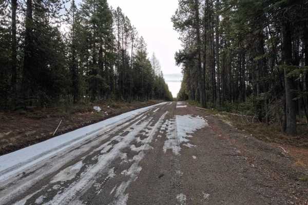
FS 5327
FS 5327 is a 9.6-mile out-and-back trail that begins at an intersection with FS 53, providing access to Divide Well Campground before ending at a gate at a private property boundary. The trail is a wide, well-maintained gravel road with numerous spur trails to explore, many with posted seasonal res...
Learn more about FS 5327
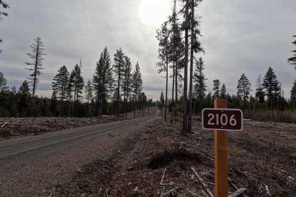
FS 2106
FS 2106 is a 4.7-mile out-and-back trail branching off FS 2105. The route winds through clear-cut areas, transitioning into new-growth forests before terminating at a small turnaround. With numerous spur trails and open areas for dispersed camping, FS 2106 is an excellent trail for stock, low-cleara...
Learn more about FS 2106
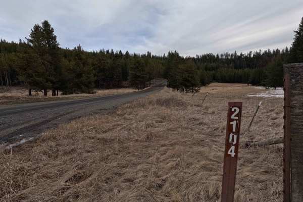
FS 2104
FS 2104 is a 12.5-mile point-to-point trail beginning at its intersection with FS 21 as a wide gravel road. This quickly changes once the trail narrows past an unmistakable 'Travel at Own Risk' warning sign. The trail narrows to a single lane and becomes a steep shelf road featuring deep ruts, off-c...
Learn more about FS 2104
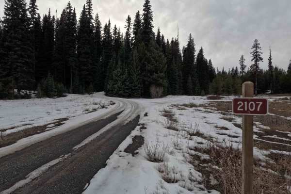
Swale Trail - FS 2107
Swale Trail is a 7.8-mile point-to-point trail that branches off FS 21 before reconnecting later along the route. Starting from the northeast end near Dutch Creek Guard Station, the trail climbs out of the valley where it meets Swale Creek and follows the creek for 0.75 miles, after which the trail ...
Learn more about Swale Trail - FS 2107
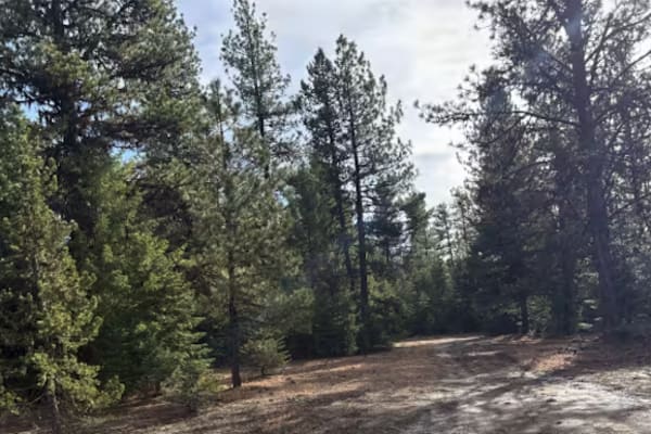
Sharps Ridge - FS 3026
Sharps Ridge takes off from FS 3988 at Oasis Springs, and depending on the time of year, can be extremely muddy and boggy to traverse. The first section through the trees is the worst of it, but once you break out of the trees and start gaining elevation it becomes a relatively easy 2-track trail. F...
Learn more about Sharps Ridge - FS 3026
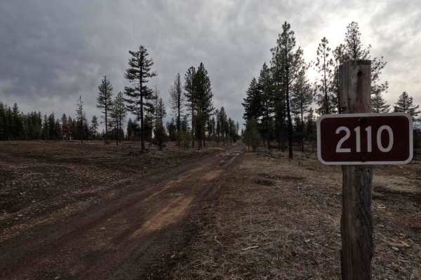
FS 2110
FS 2110 is a 7.8-mile point-to-point trail beginning at FS 21. Starting as a wide gravel road, FS 2110 soon becomes steep, rocky, rutted, and off-camber, making it a slow-going route. The trail begins in the Umatilla National Forest and follows the top of a ridgeline descending toward the town of Mo...
Learn more about FS 2110
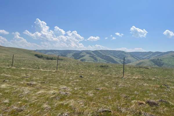
Rock the Ridge
This is a road up a rocky ridge from the valley. You will see blue mountains with views into the valleys below. The road can be challenging as it is rough and rocky. It has a variety of terrain. Both sides of the trail or road are fenced as mostly private property paralleling. There is an opportunit...
Learn more about Rock the Ridge
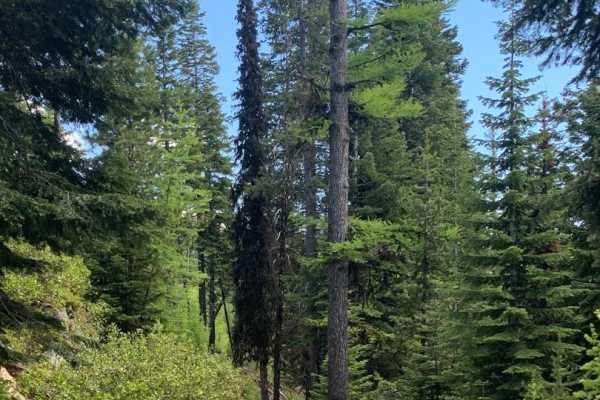
Jump Off Joe
This scenic nearly nineteen mile route climbs to an elevation of 6,436 feet above sea level. And, as you probably know that translates to incredible views. To the south a valley that cradles the middle fork of the John Day River. To the north lies the Umatilla National Forest and its 212,000 plus ac...
Learn more about Jump Off Joe
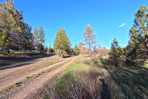
Madison Butte Lookout - FS 2119033
Madison Butte Lookout is a 9.2-mile out-and-back trail (4.6 miles one way) that climbs from Road Canyon Road to the Madison Butte Lookout. The route features small rock steps, steep sections, and tight switchbacks near the summit. Several dispersed camping opportunities are available along the trail...
Learn more about Madison Butte Lookout - FS 2119033
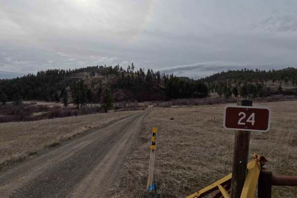
Happy Jack - FS 24
Happy Jack is an 18.3-mile point-to-point trail connecting FS 22 with the Heppner-Spray Highway. A wide gravel road for its entire length, Happy Jack offers stunning views looking north into the Umatilla National Forest. Starting from the east side, the trail crosses Big Wall Creek before climbing 2...
Learn more about Happy Jack - FS 24
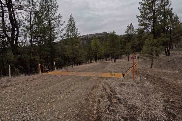
FS 23 East
A short but technical route, FS 23 East is a 3.2 mile shelf road that wraps around the base of Tamarack Mountain. Starting in the east from FS 22, the trail descends into a canyon towards Big Wall Creek. At 2.3 miles, FS 23 East crosses Big Wall Creek before climbing back out of the canyon and endin...
Learn more about FS 23 East
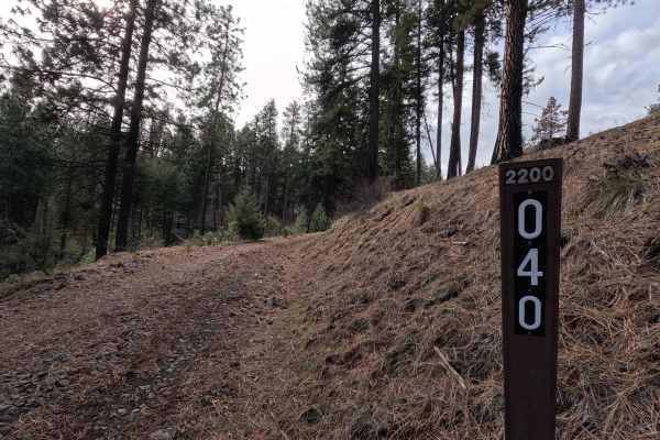
Turner Mountain - FS 2200040
Turner Mountain is a 4.3-mile out-and-back trail (this distance includes the loop and return distance) that climbs up the north face of Turner Mountain as a shelf road, continuing along the ridgeline before reaching the summit. The trail is steep, narrow, rutted, and off-camber, becoming very muddy ...
Learn more about Turner Mountain - FS 2200040
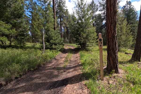
Trail 78
Trail 78 is a 1.1-mile point-to-point trail that serves as an alternative route to a section of Trail 1, while also providing access to Trails 79, 80, and 85. The trail is fast and flowing, with a few muddy sections and occasional tight, brushy areas. Trail 78 is open year-round. An Oregon State ATV...
Learn more about Trail 78
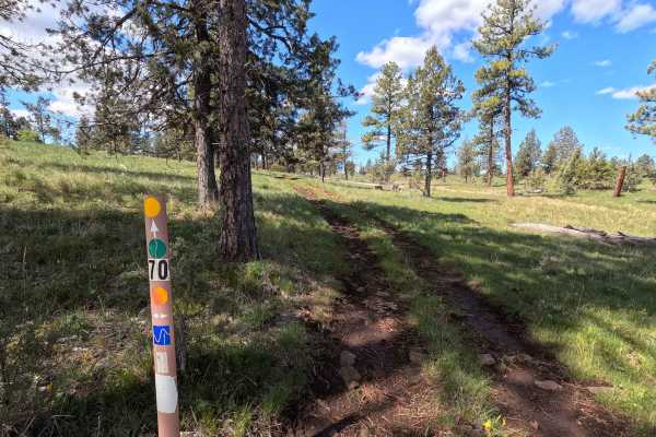
Trail 70
Trail 70 is a 1-mile point-to-point trail that serves as an alternative to a section of Trail 1. The trail is seldom used, resulting in a raw surface with significant grass growth, making it muddy and difficult to follow in places. Several deep potholes are present. Trail 70 is open year-round. An O...
Learn more about Trail 70
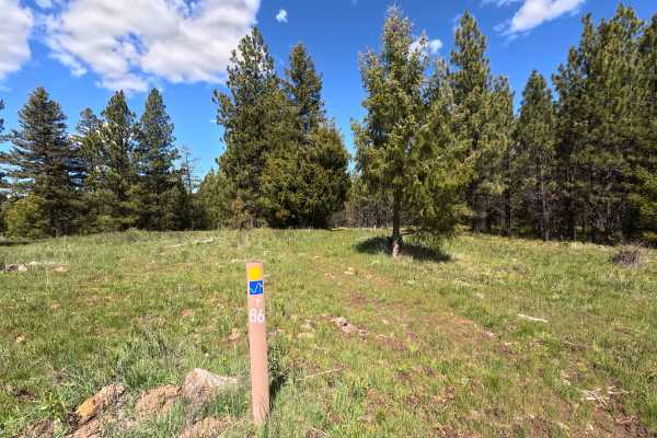
Trail 86
Trail 86 is a 1-mile point-to-point trail that connects Trail 70 and Trail 1C. Starting from Trail 70, the surface is raw and grassy, making it difficult to follow at times. The trail then transitions to rocky and muddy sections before intersecting with Trail 1C. Trail 86 is open year-round. Signage...
Learn more about Trail 86
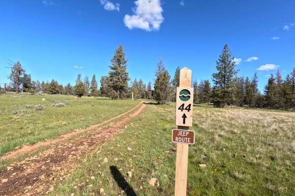
Trail 44
Trail 44 is a 1.5-mile point-to-point connector trail that starts at Trail 40 and ends at Trail 43, while also providing access to Trails 47, 55, 45, 58, and 42. Starting from Trail 40, the route winds through an open grassy meadow before beginning a steep, rocky descent down to Trail 43. Trail 44 i...
Learn more about Trail 44
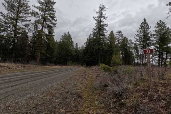
FS 23 West
FS 23 West is a 9.2-mile point-to-point, well-maintained gravel road. Starting from the intersection with Wilson Creek Road and FS 23 East, the road crosses a bridge over Wilson Creek before beginning a consistent 1,600-foot climb. Occasional narrow sections occur in the first couple of miles before...
Learn more about FS 23 West
ATV trails near Ukiah, Oregon
Explore ATV-friendly trails near you. These trails are accessible for vehicles up to 50 inches wide, perfect for ATVs and smaller off-road machines.
FS 5312
FS 5312 is a 6.7-mile point-to-point trail beginning at its intersection with FS 53 and terminating at FS 5320. The road surface is wide, well-maintained, and generally smooth, with some sections of washboarding and water damage. In wet conditions, the road surface can become soft. This trail is man...
Learn more about FS 5312
FS 5316
FS 5316 is a 15.9-mile out-and-back trail branching off FS 53 and winding through the Umatilla National Forest before terminating at a private property boundary 1 mile past Potamus Point. The trail is wide, gravel, and well-maintained with only sparse washboarding and potholes throughout; however, t...
Learn more about FS 5316
FS 2105
FS 2015 is an 8.3-mile point-to-point gravel road connecting FS 5316 with FS 2104. Starting from the east at the intersection with FS 2104, the trail descends into a canyon with steep sections in areas before crossing several creeks. It then climbs back up the opposite side of the canyon, transition...
Learn more about FS 2105
FS 5327
FS 5327 is a 9.6-mile out-and-back trail that begins at an intersection with FS 53, providing access to Divide Well Campground before ending at a gate at a private property boundary. The trail is a wide, well-maintained gravel road with numerous spur trails to explore, many with posted seasonal res...
Learn more about FS 5327
UTV/side-by-side trails near Ukiah, Oregon
Find UTV and side-by-side trails near you. These trails accommodate vehicles up to 60 inches wide, ideal for UTVs, side-by-sides, and wider off-road rigs.
FS 5312
FS 5312 is a 6.7-mile point-to-point trail beginning at its intersection with FS 53 and terminating at FS 5320. The road surface is wide, well-maintained, and generally smooth, with some sections of washboarding and water damage. In wet conditions, the road surface can become soft. This trail is man...
Learn more about FS 5312
FS 5316
FS 5316 is a 15.9-mile out-and-back trail branching off FS 53 and winding through the Umatilla National Forest before terminating at a private property boundary 1 mile past Potamus Point. The trail is wide, gravel, and well-maintained with only sparse washboarding and potholes throughout; however, t...
Learn more about FS 5316
FS 2105
FS 2015 is an 8.3-mile point-to-point gravel road connecting FS 5316 with FS 2104. Starting from the east at the intersection with FS 2104, the trail descends into a canyon with steep sections in areas before crossing several creeks. It then climbs back up the opposite side of the canyon, transition...
Learn more about FS 2105
FS 5327
FS 5327 is a 9.6-mile out-and-back trail that begins at an intersection with FS 53, providing access to Divide Well Campground before ending at a gate at a private property boundary. The trail is a wide, well-maintained gravel road with numerous spur trails to explore, many with posted seasonal res...
Learn more about FS 5327
The onX Offroad Difference
onX Offroad combines trail photos, descriptions, difficulty ratings, width restrictions, seasonality, and more in a user-friendly interface. Available on all devices, with offline access and full compatibility with CarPlay and Android Auto. Discover what you're missing today!
Open Trail Map