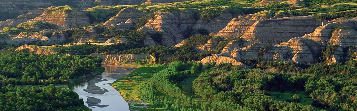
Dirt Bike Trails
Near Twin Valley, Minnesota
Explore All Dirt Bike Trails Near Twin Valley, Minnesota
Dirt Bike Trails Near Twin Valley, Minnesota
Discover the best dirt bike trails near you. Browse trail maps, check difficulty ratings, and find your next adventure — whether you're looking for a quick ride or an all-day expedition.
Mary Yellowhead Trail
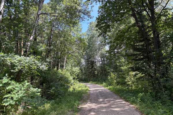
Mary Yellowhead Trail is a scenic, easy-to-follow path through the woods near Tamarac National Wildlife Refuge, offering stunning fall views. The trail is mostly gravel with a few sandy spots and a few shallow mud holes. The Trail ends near other nearby trails, making a great fall color loop access ...
Learn more about Mary Yellowhead Trail
Rat Lake Trail
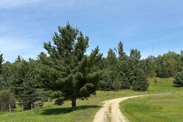
Rat Lake Trail is an easy route of gravel, sand, and two-track that follows the western edge of Tamarac National Wildlife Refuge. It features gentle rolling hills with scenic views of wildlife and vibrant fall colors from the surrounding habitats. The trail is open seasonally and closes from Decembe...
Learn more about Rat Lake Trail
South Tulaby Trail
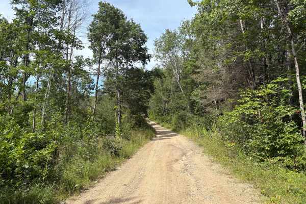
South Tulaby Trail is an easy gravel trail that winds through the Minnesota Northwoods near Tamarac National Wildlife Refuge. The trail is easy to navigate for most vehicles with easy rolling hills and curves. As it weaves through the White Earth State Forest during the fall, the colors are beautifu...
Learn more about South Tulaby Trail
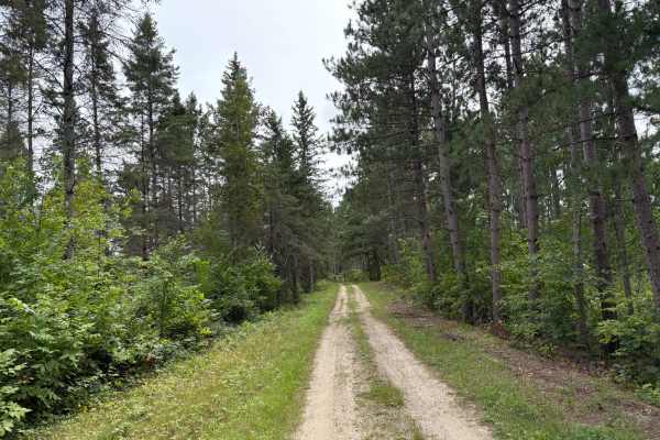
Camp 5 Trail
Camp 5 Trail offers a scenic ride through three distinct habitats near Tamarac National Wildlife Refuge. Riders will encounter pine forest with sandy and rocky terrain, low-lying wetlands with seasonal mud holes and standing water, and open stretches with western prairie views. The narrow route blen...
Learn more about Camp 5 Trail
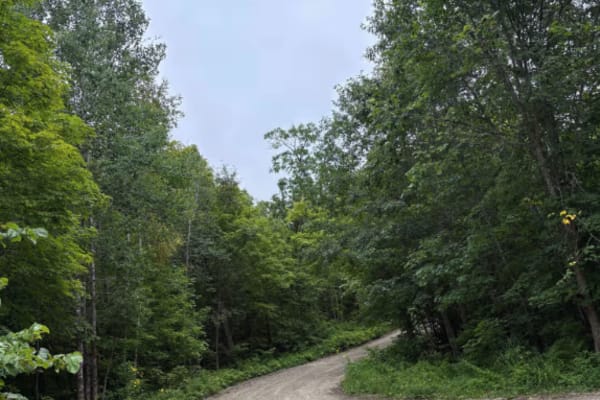
Waptus-Mckenzie Lake Road
The trail is an easy-going Forestry Road, with lots of great scenery and wildlife. Narrow in spots and some washouts depending on the time of year. The trail follows the West edge of Itasca State Park with many great camping opportunities. Fall colors are amazing with the mix of Northwoods Pine and ...
Learn more about Waptus-Mckenzie Lake Road
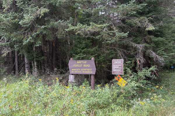
Waptus Forest Road
Waptus Forest Road is an easy to navigate Forestry Road near Itasca State Park. The Trail is mostly wide open with some narrow sections with low overhead clearance. Wildlife and scenery are abundant, making it a perfect fall color trail. This trail connects to many others in the area. Closed Decembe...
Learn more about Waptus Forest Road
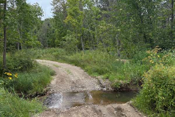
Old Many Point Trail
Old Many Point Trail is an easy, narrow trail that once served as the original route to Many Point Scout Camp. The trail winds past ponds and wetlands with wildlife, offering scenic views along the way. Most of the trail is easy to traverse, with loose gravel and minor washouts. In spring, water lev...
Learn more about Old Many Point Trail
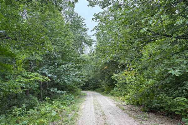
Otterkill Trail
The Otterkill trail is a gravel forestry trail with some tight vegetation in spots. This trail is easy to navigate but may get overgrown depending on the year. It is located near Itasca State Park, making it a beautiful Fall color tour trail to take. Closed December 1 to March 31.
Learn more about Otterkill Trail
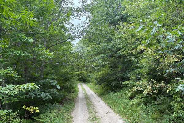
Heart Lake Trail
Heart Lake Trail is a narrow forestry road near Itasca State Park. The trail is very narrow in spots with overgrown vegetation. The fall colors and Wildlife along this trail are definitely worth the travel. In the Spring thaw and heavy rain periods, some of the trail can have some overflow and ruts....
Learn more about Heart Lake Trail
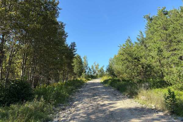
Anchor Mattson Road
Anchor Mattson Trail is an easy-going Forestry Road near Itasca State Park. The trail can be narrow in spots and has lots of vegetation. Fall colors are stunning along this route. Wildlife is abundant, with lots of Deer, Grouse, Turkey, and the occasional bear and wolf. The trail is easy to navigate...
Learn more about Anchor Mattson Road
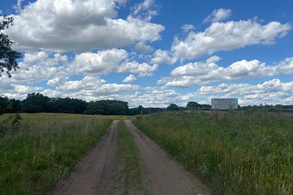
Jorgen’s Hallow
Jorgen’s hollow is a very simple, easy dirt trail with some hills running through trees. It has some very nice scenery with a historical point of interest. You may see some livestock and horses. There are a few gates you must go through; just open and close them behind yourself.
Learn more about Jorgen’s Hallow
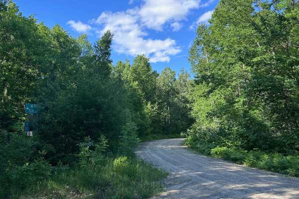
East Gulch Forest Ln
East Gulch Forest Ln is a well-maintained gravel road that connects Highway 64 to Spur I Forest Road. It can be used as one of the primary entrance routes to the northwest portion of PBSF. The road travels uphill much of the way from Highway 64 until you reach Spur I.
Learn more about East Gulch Forest Ln
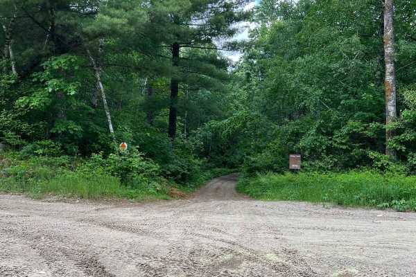
West Round River - Part 1
This trail is a natural continuation of the Akeley Cutoff Road trail. Similarly challenging and part of a larger loop where you can pass by a lookout tower. I am unsure where it is allowed to go up in the tower but at least it's a destination. The trail is roughly a large SxS wide. There are section...
Learn more about West Round River - Part 1
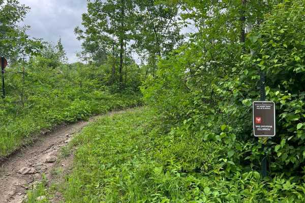
Paul Bunyan NW Loop Part 1
This trail has very different riding experiences. Part of the trail at times is cleared forest where trees have been harvested and part is so dense you can barely watch your tire. The trail is not incredibly difficult but visibility can cause issues seeing roots, tree stumps, rocks, etc. Clearly, th...
Learn more about Paul Bunyan NW Loop Part 1
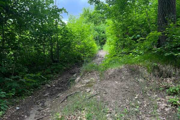
Paul Bunyan NW Starter
This trail can be accessed through a small cut-through off Round River Drive at an intersection in the Paul Bunyan West Loop Dirt Bike Trail. This trail was consistent with difficulty across the Paul Bunyan trail system for Dirt Bikes. There were sections of inclines and declines that washed out ove...
Learn more about Paul Bunyan NW Starter
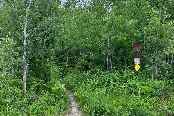
Paul Bunyan NW Loop Part 2
Similar to part 1 of this loop, the trail is very dense for the bulk of the route. You will not have great visibility of roots, rocks, and other small obstacles that fall onto the trail. There will also likely be low-hanging 0.5"-1" branches and tiny trees that bounce off your bike and helmet. This ...
Learn more about Paul Bunyan NW Loop Part 2
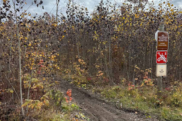
Huntersville Western Loop Parking Lot Jaunt
This trail is a nice connection route between the western parking area and the western dirt bike only loop. There is also a small gravel pit space near the junction in the middle. The trail is overall smooth with very little debris and a few whoop sections. Compared to nearby singletrack Paul Bunyan...
Learn more about Huntersville Western Loop Parking Lot Jaunt
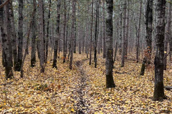
Huntersville Western Single Track Loop
This trail is a really pretty route through multiple wooded region types. There are a few large logging sections and a brief section of wider forest road, in addition to some occasional rocks, but otherwise there's little debris beyond some roots or sticks. Some sections are quite narrow but overall...
Learn more about Huntersville Western Single Track Loop
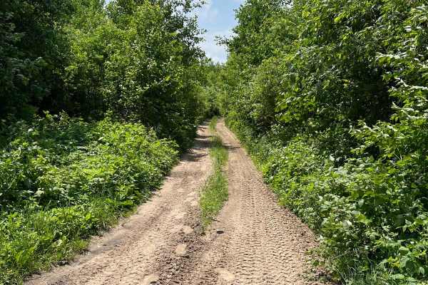
Akeley Cutoff Road SW Connector
If this trail wasn't overgrown, it could maybe pass as a forest road. It's listed as part of the Round River Road network. It's quite wide but technically only allows SxS and ATVs. There are narrow sections where passing could be challenging but there are no obstacles where you couldn't back up or w...
Learn more about Akeley Cutoff Road SW Connector
Paul Bunyan Single Track West Loop
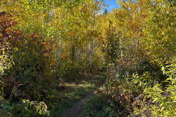
This trail is one of the most diverse at Paul Bunyan State Forest. There are so many different types of woods and trail styles you typically see in Minnesota. There are sections that are quite flowy, then it will transition to super rocky, then tons of tree roots. There are some steep inclines and d...
Learn more about Paul Bunyan Single Track West Loop
ATV trails near Twin Valley, Minnesota
Explore ATV-friendly trails near you. These trails are accessible for vehicles up to 50 inches wide, perfect for ATVs and smaller off-road machines.
Mary Yellowhead Trail
Mary Yellowhead Trail is a scenic, easy-to-follow path through the woods near Tamarac National Wildlife Refuge, offering stunning fall views. The trail is mostly gravel with a few sandy spots and a few shallow mud holes. The Trail ends near other nearby trails, making a great fall color loop access ...
Learn more about Mary Yellowhead Trail
Rat Lake Trail
Rat Lake Trail is an easy route of gravel, sand, and two-track that follows the western edge of Tamarac National Wildlife Refuge. It features gentle rolling hills with scenic views of wildlife and vibrant fall colors from the surrounding habitats. The trail is open seasonally and closes from Decembe...
Learn more about Rat Lake Trail
South Tulaby Trail
South Tulaby Trail is an easy gravel trail that winds through the Minnesota Northwoods near Tamarac National Wildlife Refuge. The trail is easy to navigate for most vehicles with easy rolling hills and curves. As it weaves through the White Earth State Forest during the fall, the colors are beautifu...
Learn more about South Tulaby Trail
Camp 5 Trail
Camp 5 Trail offers a scenic ride through three distinct habitats near Tamarac National Wildlife Refuge. Riders will encounter pine forest with sandy and rocky terrain, low-lying wetlands with seasonal mud holes and standing water, and open stretches with western prairie views. The narrow route blen...
Learn more about Camp 5 Trail
UTV/side-by-side trails near Twin Valley, Minnesota
Find UTV and side-by-side trails near you. These trails accommodate vehicles up to 60 inches wide, ideal for UTVs, side-by-sides, and wider off-road rigs.
Mary Yellowhead Trail
Mary Yellowhead Trail is a scenic, easy-to-follow path through the woods near Tamarac National Wildlife Refuge, offering stunning fall views. The trail is mostly gravel with a few sandy spots and a few shallow mud holes. The Trail ends near other nearby trails, making a great fall color loop access ...
Learn more about Mary Yellowhead Trail
Rat Lake Trail
Rat Lake Trail is an easy route of gravel, sand, and two-track that follows the western edge of Tamarac National Wildlife Refuge. It features gentle rolling hills with scenic views of wildlife and vibrant fall colors from the surrounding habitats. The trail is open seasonally and closes from Decembe...
Learn more about Rat Lake Trail
South Tulaby Trail
South Tulaby Trail is an easy gravel trail that winds through the Minnesota Northwoods near Tamarac National Wildlife Refuge. The trail is easy to navigate for most vehicles with easy rolling hills and curves. As it weaves through the White Earth State Forest during the fall, the colors are beautifu...
Learn more about South Tulaby Trail
Camp 5 Trail
Camp 5 Trail offers a scenic ride through three distinct habitats near Tamarac National Wildlife Refuge. Riders will encounter pine forest with sandy and rocky terrain, low-lying wetlands with seasonal mud holes and standing water, and open stretches with western prairie views. The narrow route blen...
Learn more about Camp 5 Trail
The onX Offroad Difference
onX Offroad combines trail photos, descriptions, difficulty ratings, width restrictions, seasonality, and more in a user-friendly interface. Available on all devices, with offline access and full compatibility with CarPlay and Android Auto. Discover what you're missing today!
Open Trail Map