
Dirt Bike Trails
Near St. George Island, Florida
Explore All Dirt Bike Trails Near St. George Island, Florida
Dirt Bike Trails Near St. George Island, Florida
Discover the best dirt bike trails near you. Browse trail maps, check difficulty ratings, and find your next adventure — whether you're looking for a quick ride or an all-day expedition.
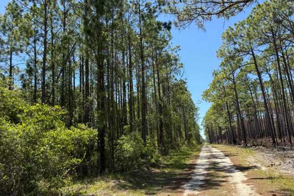
BOTOA Trail
A classic Florida two-track nestled within Tate's Hell State Forest, this trail features a sandy, well-worn surface typical of the region. While it's not particularly technical, it offers a peaceful ride through dense pine flatwoods and occasional patches of open understory. It's an ideal connector ...
Learn more about BOTOA Trail
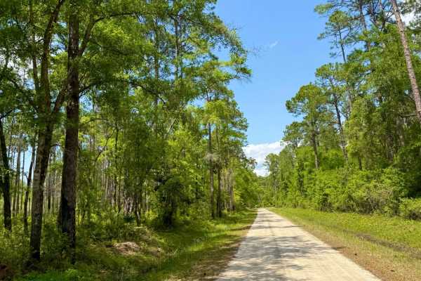
Sandy Beach Road
Probably one of the most scenic miles of road in northern Florida, this short stretch offers breathtaking views as it transitions from dense pine flatwoods to coastal marsh and open Gulf shoreline. The road is mostly hard-packed sand but can get soft and rutted closer to the beach. It's a peaceful, ...
Learn more about Sandy Beach Road
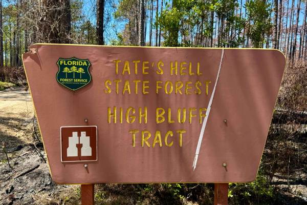
Miller Landing Road
This mellow route winds its way all the way down to the saltwater bay, making it a unique destination deep in the forest. It starts off as a wide road before narrowing into a sandy two-track for a stretch, with a few shallow creek crossings that add just enough character to keep it interesting. The ...
Learn more about Miller Landing Road
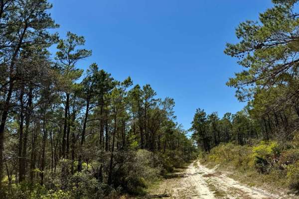
SFR 32
This adventurous stretch of trail features long sections of deep, soft sand that can challenge even well-equipped rigs--traction can be tricky, especially for two-wheel drive. Several water crossings are scattered throughout, including one notably deep, muddy creek crossing that requires a careful a...
Learn more about SFR 32
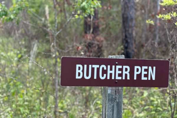
Butcher Pen Road
This connector trail features multiple shallow creek crossings and serves as a gateway to the more remote and rugged sections of Tate's Hell State Forest. While the road itself is relatively mild, the terrain beyond becomes increasingly challenging. Butcher Pen Drive is ideal for those looking to li...
Learn more about Butcher Pen Road
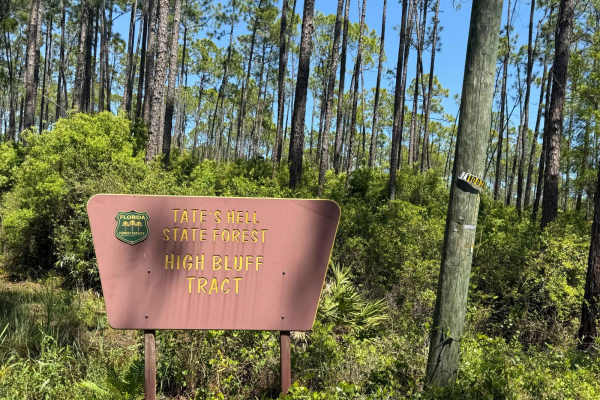
Road Camp Road
This one-lane trail offers easy access from the nearby byway and quickly transitions into classic Florida terrain. A few dry creek crossings add character, but the main challenge is the super soft sand in several sections, making it unsuitable for two-wheel drive vehicles. The road is narrow with li...
Learn more about Road Camp Road
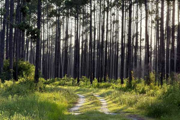
Pidcock Road
Pidcock Road takes you from west to east through the Tate's Hell Swamp in the southern part of Tate's Hell State Forest and connects Camp 48 Trail and Eagles Nest. The trail takes you to a primitive campsite at High Bluff Creek. The road conditions are a mixture of packed sand, loose sand, and some ...
Learn more about Pidcock Road
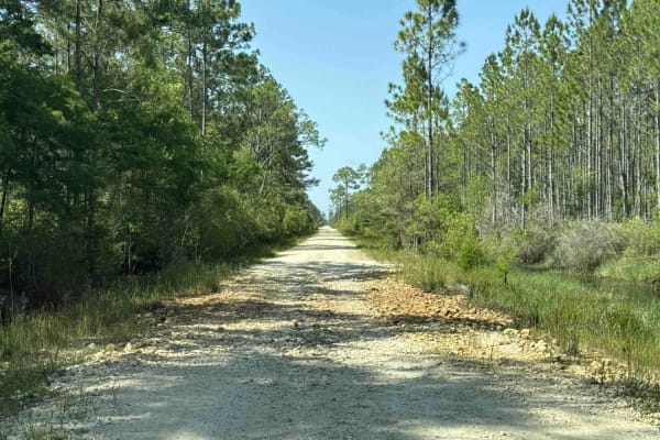
North Road
North Road runs from the north through the High Bluff Tract in the west part of Tate's Hell State Forest. It connects SR 65 in the south with North Road Camp 2 at the New River, a primitive campsite with river access for kayaks. The road conditions are a mixture of packed sand, loose sand, and some ...
Learn more about North Road
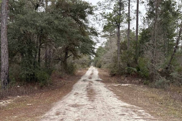
Tucker Road
Tucker Road takes you from north to south through the Whiskey George District in the west part of Tate's Hell State Forest. The road conditions are a mixture of packed sand, loose sand, and deep holes that can turn into 2 feet deep mud holes after rainy days. Some sections might require 4WD. Off-hig...
Learn more about Tucker Road
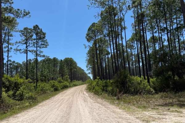
John Allen Road
This cool cut-through offers a smooth and straightforward ride along a well-maintained gravel road. The route is mostly flat and easy, making it ideal for all vehicle types. As it winds through the forest, it eventually opens up to a beautiful view near the end--perfect for a quick photo stop or qui...
Learn more about John Allen Road
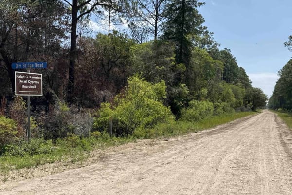
Dry Bridge Road
Dry Bridge Road takes you to the Ralph G. Kendrick Dwarf Cypress Boardwalk which gives you a spectacular view above the trees and vegetation of Tate's Hell State Forest. It also gives you access to the Dry Bridge Camp 51, a primitive campsite on Whiskey George Creek. The road conditions are a mixtur...
Learn more about Dry Bridge Road
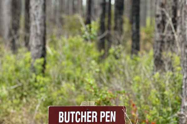
Butcher Pen Landing Road
This short but scenic route leads directly to Butcher Pen Landing, a peaceful campground nestled deep in Tate's Hell State Forest. The road is well-traveled and accessible by most vehicles, with a mostly hard-packed surface and a few gentle bumps. Surrounded by tall pines and near the water, the cam...
Learn more about Butcher Pen Landing Road
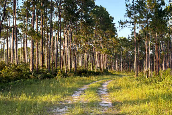
Camp 48 Trail
Camp 48 Trail takes you from north to south through the Tate's Hell Swamp in the southern part of Tate's Hell State Forest and connects Dry Bridge Road and FS 59. The trail takes you to a primitive campsite at High Bluff Creek. The road conditions are a mixture of packed sand, loose sand, and some d...
Learn more about Camp 48 Trail
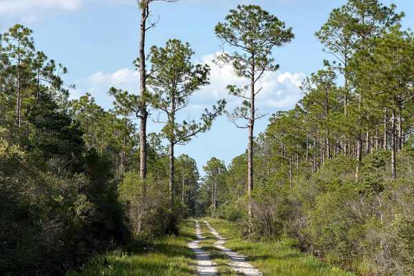
Eagles Nest
Eagles Nest takes you from north to south through the Tate's Hell Swamp in the southern part of Tate's Hell State Forest and connects Pidcock Road and Buck Siding Road. The route takes you to several trails in the area. The road conditions are a mixture of packed sand, loose sand, and some deep hole...
Learn more about Eagles Nest
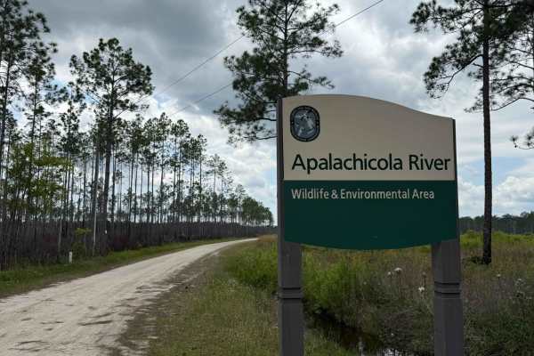
Gardener Landing Road
This smooth, well-maintained forest road winds through Tate's Hell and ends at a quiet riverside campground known as Gardener's Landing. The trail is wide and easygoing, making it suitable for all vehicle types. Along the way, you'll pass through beautiful pine flatwoods and spot a few private river...
Learn more about Gardener Landing Road
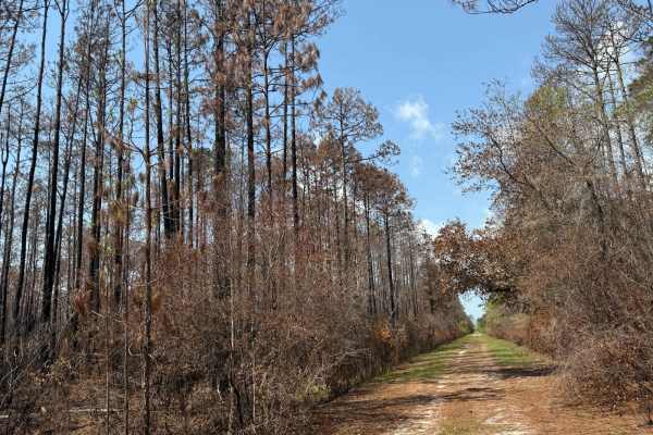
SFR 4
SFR 4 is a notable two-track trail within Tate's Hell State Forest, distinguished by a significant creek crossing equipped with a depth gauge that can measure water levels up to 4 feet. The trail's surface is predominantly sandy and flat, but the creek crossing presents a formidable challenge, espec...
Learn more about SFR 4
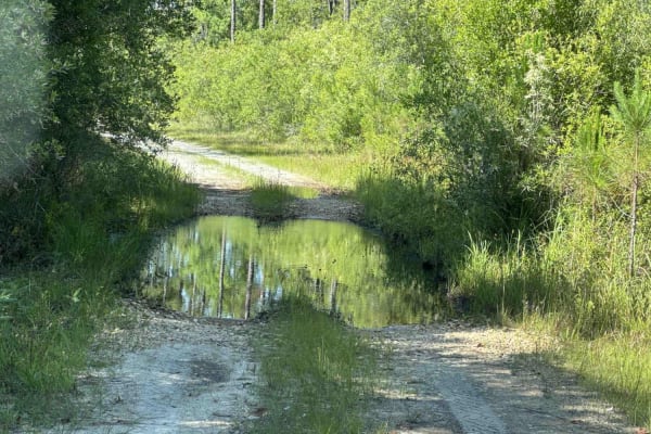
Deep Creek Loop
Deep Creek Loop takes you from Buck Siding Road to Deep Creek Camp 53 in the Trout Creek Tract of Tate's Hell State Forest. Site 53 is a primitive campsite with access to Deep Creek. The road conditions are a mixture of packed sand, loose sand, and some deep holes that can turn into 2-foot-deep mud ...
Learn more about Deep Creek Loop
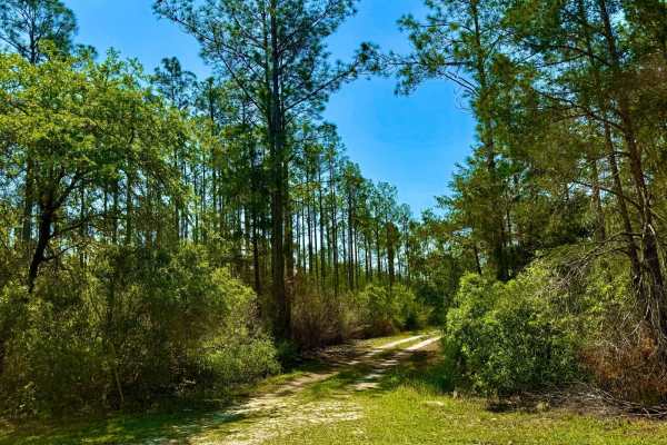
SFR 21 South
SFR 21 South is a formidable two-track trail situated in the southern reaches of Tate's Hell State Forest. This route is renowned for its challenging conditions, featuring multiple deep water crossings with rocky bottoms that demand high-clearance, four-wheel-drive vehicles. The trail's rugged terra...
Learn more about SFR 21 South
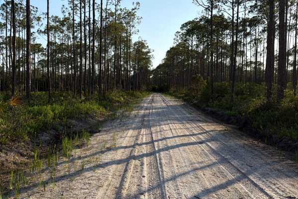
FS 48
Forest Road 48 is a dead-end road in the southern part of Tate's Hell State Forest. The trail takes you to the south end of the Carrabelle Thompson Airport. The road conditions are a mixture of packed sand, loose sand, and some deep holes that can turn into 2-foot-deep mud holes after rainy days. So...
Learn more about FS 48
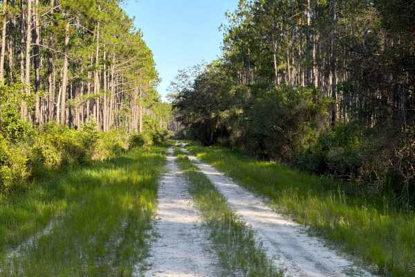
Airport Road
Airport Road takes you from west to east through the Tate's Hell Swamp in the southern part of Tate's Hell State Forest and connects Buck Siding Road and Dry Bridge Road. The trail gives you access to a few trails in the area. The road conditions are a mixture of packed sand, loose sand, and some de...
Learn more about Airport Road
ATV trails near St. George Island, Florida
Explore ATV-friendly trails near you. These trails are accessible for vehicles up to 50 inches wide, perfect for ATVs and smaller off-road machines.
BOTOA Trail
A classic Florida two-track nestled within Tate's Hell State Forest, this trail features a sandy, well-worn surface typical of the region. While it's not particularly technical, it offers a peaceful ride through dense pine flatwoods and occasional patches of open understory. It's an ideal connector ...
Learn more about BOTOA Trail
Sandy Beach Road
Probably one of the most scenic miles of road in northern Florida, this short stretch offers breathtaking views as it transitions from dense pine flatwoods to coastal marsh and open Gulf shoreline. The road is mostly hard-packed sand but can get soft and rutted closer to the beach. It's a peaceful, ...
Learn more about Sandy Beach Road
Miller Landing Road
This mellow route winds its way all the way down to the saltwater bay, making it a unique destination deep in the forest. It starts off as a wide road before narrowing into a sandy two-track for a stretch, with a few shallow creek crossings that add just enough character to keep it interesting. The ...
Learn more about Miller Landing Road
SFR 32
This adventurous stretch of trail features long sections of deep, soft sand that can challenge even well-equipped rigs--traction can be tricky, especially for two-wheel drive. Several water crossings are scattered throughout, including one notably deep, muddy creek crossing that requires a careful a...
Learn more about SFR 32
UTV/side-by-side trails near St. George Island, Florida
Find UTV and side-by-side trails near you. These trails accommodate vehicles up to 60 inches wide, ideal for UTVs, side-by-sides, and wider off-road rigs.
BOTOA Trail
A classic Florida two-track nestled within Tate's Hell State Forest, this trail features a sandy, well-worn surface typical of the region. While it's not particularly technical, it offers a peaceful ride through dense pine flatwoods and occasional patches of open understory. It's an ideal connector ...
Learn more about BOTOA Trail
Sandy Beach Road
Probably one of the most scenic miles of road in northern Florida, this short stretch offers breathtaking views as it transitions from dense pine flatwoods to coastal marsh and open Gulf shoreline. The road is mostly hard-packed sand but can get soft and rutted closer to the beach. It's a peaceful, ...
Learn more about Sandy Beach Road
Miller Landing Road
This mellow route winds its way all the way down to the saltwater bay, making it a unique destination deep in the forest. It starts off as a wide road before narrowing into a sandy two-track for a stretch, with a few shallow creek crossings that add just enough character to keep it interesting. The ...
Learn more about Miller Landing Road
SFR 32
This adventurous stretch of trail features long sections of deep, soft sand that can challenge even well-equipped rigs--traction can be tricky, especially for two-wheel drive. Several water crossings are scattered throughout, including one notably deep, muddy creek crossing that requires a careful a...
Learn more about SFR 32
The onX Offroad Difference
onX Offroad combines trail photos, descriptions, difficulty ratings, width restrictions, seasonality, and more in a user-friendly interface. Available on all devices, with offline access and full compatibility with CarPlay and Android Auto. Discover what you're missing today!
Open Trail Map