
Dirt Bike Trails
Near Shinglehouse, Pennsylvania
Explore All Dirt Bike Trails Near Shinglehouse, Pennsylvania
Dirt Bike Trails Near Shinglehouse, Pennsylvania
Discover the best dirt bike trails near you. Browse trail maps, check difficulty ratings, and find your next adventure — whether you're looking for a quick ride or an all-day expedition.

C Blue C1- C5
This challenging loop of C is a flowing wooded trail with some elevation changes. It makes for a nice bypass to the regular C trail with just a touch more of a challenge. With a hill climb, puddles, small rocks, and fun turns this section is a blast to ride.
Learn more about C Blue C1- C5
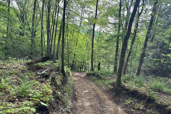
C Blue C6
C trail has green blue and black sections. This is marked as a blue but is not a huge step up from the normal trail level. Expect tight turns and elevation changes. The uphills can be a little loose and slightly rocky but not dangerous. This makes a nice loop back to the same spot.
Learn more about C Blue C6

Orange Single Track Campground - B10
Single track can be very challenging and not for the beginner. We rutted paths, steeps hills, tight turns, and narrow trees, these trails are technical. Expect trails that require good riding abilities and having proper safety equipment. Trails lead to wider trail sections to return to office easily...
Learn more about Orange Single Track Campground - B10
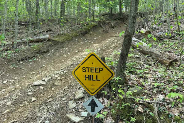
C Black C6 and C7
Of the challenging trails, this is probably one of the more challenging. What makes this section different is the hill climbs. They are filled with small ledges a few inches high that could trip up a novice rider or a 2wd drive machine. The trail is a nice flowing loop that stops right near where...
Learn more about C Black C6 and C7
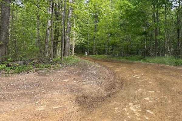
D Green D1- D8
D is full of shallow but seemingly firm-bottomed puddles. Mix in some twists and turns with a downhill, and it is a good time. This trail naturally leads the rider back towards the parking area. It can be used as a good route to loop and see the property.
Learn more about D Green D1- D8

C Green C6 C8 C9
C is an average easier trail at Majestic trails. Expect a nice wide trail with beautiful forests and historic remnants of the oil industry in Pennsylvania. C makes a loop starting and ending at B trail so this makes choosing this trail less risky as it returns back near the start.
Learn more about C Green C6 C8 C9

B1 Blue
This is a side trail off of the normal A trail. It is marked as a blue trail but is not really much harder than the green sections. It does have a hill with a slight rut but nothing that is dangerous. Even slight experience will be able to handle this trail.
Learn more about B1 Blue
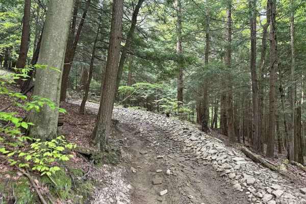
B Black and Blue
B has some more challenging sections that branch off. These can be marked as blue or black sections with color corresponding arrows. These trails have challenges usually hill climbs, small rocks, or berms. Be careful on these and remember they are directional also and should not be used in revers...
Learn more about B Black and Blue
H Orange Single Track
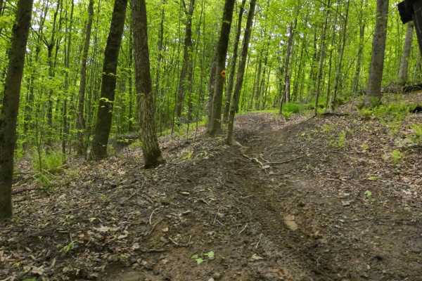
This single track can be very challenging and not for the beginner. We rutted paths, steeps hills, tight turns, and narrow trees, these trails are technical. Expect trails that require good riding abilities and having proper safety equipment. Trails lead to wider trail sections to return to office...
Learn more about H Orange Single Track
F Blue F1-F10
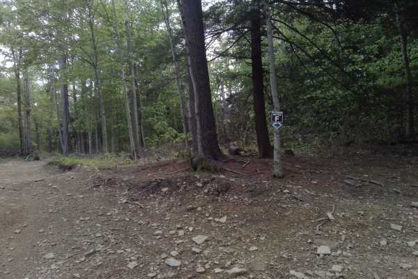
Once started F trail loops around in the woods with plenty of small puddles and small rocks, but doesn't have an exit till it connects with E again. This is a fun section that leads to some very interesting oil history. Where it connects to the single track has some interesting equipment.
Learn more about F Blue F1-F10

B Green B2 B5 B6
B trail is a nice easy level trail that has a gentile mix of flat areas, a hill, and water bars. Use B to get to C or D section. C will be a series of loops and D takes you back towards parking lot. This trail is fun with no major obstacles.
Learn more about B Green B2 B5 B6

Orange Single Track B4 B5 G9
Single track can be very challenging and not for the beginner. We rutted paths, steeps hills, tight turns, and narrow trees, these trails are technical. Expect trails that require good riding abilities and having proper safety equipment. Trails lead to wider trail sections to return to office easily...
Learn more about Orange Single Track B4 B5 G9

D Blue D6
On the D trail system, there is the main easy trail and a few with a little bit more difficulty. The more challenging ones are not a huge step up but just a little bit more technical. The trail is still safe for all skill levels, but may require a little more attention paid as you traverse.
Learn more about D Blue D6

MX Track
The MX Track area is a playground of sorts at the intersections of A and D trails. There are jumps and berms to play on. Keep in mind that this is a little distance away from the office, and even though there is a shortcut back, it is still a distance.
Learn more about MX Track
D Blue D7 & D9
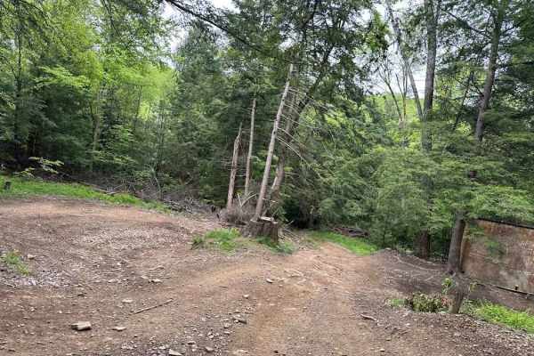
On the D trail system, there is the main easy trail and a few with a little bit more difficulty. The more challenging ones are not a huge step up but just a little bit more technical. The trail is still safe for all skill levels, but may require a little more attention paid as you traverse.
Learn more about D Blue D7 & D9

D Green D8 & D10
D has multiple sections to choose your path and direction of travel. These trails are directional, so plan accordingly. D crosses over from one hillside to the other and covers multiple types of terrain. This is also the access trail to get to the E-H trails. This is an easier section.
Learn more about D Green D8 & D10

A Blue A1
This is an offshoot of the A Trail. The A trail system starts at the office and weaves though parts of the property to connect to B trails. A does have a shortcut to the office but is a one-way trail so plan accordingly so that you do not end up travelling further than you have to.
Learn more about A Blue A1

Orange Single Track A- B4
Single track can be very challenging and not for the beginner. We rutted paths, steeps hills, tight turns, and narrow trees, these trails are technical. Expect trails that require good riding abilities and having proper safety equipment. Trails lead to wider trail sections to return to office eas...
Learn more about Orange Single Track A- B4
D Green
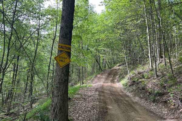
This is the farthest west section of D trail. It is on the side of a hill, so it starts flat and has some elevation changes and hills. Mix that with some puddles and small rocks and it is a fun trail to start your tour of the western mountain.
Learn more about D Green
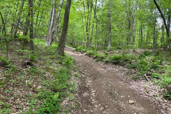
E Blue E8
This challenging section has its fill of seeping turns and hill challenges. It drops down off of the easier ETrail and connects partially to the black trail. None of these are terribly difficult but need a little attention paid to the trail while riding. The exit cn be the black or the blue marke...
Learn more about E Blue E8
ATV trails near Shinglehouse, Pennsylvania
Explore ATV-friendly trails near you. These trails are accessible for vehicles up to 50 inches wide, perfect for ATVs and smaller off-road machines.
C Blue C1- C5
This challenging loop of C is a flowing wooded trail with some elevation changes. It makes for a nice bypass to the regular C trail with just a touch more of a challenge. With a hill climb, puddles, small rocks, and fun turns this section is a blast to ride.
Learn more about C Blue C1- C5
C Blue C6
C trail has green blue and black sections. This is marked as a blue but is not a huge step up from the normal trail level. Expect tight turns and elevation changes. The uphills can be a little loose and slightly rocky but not dangerous. This makes a nice loop back to the same spot.
Learn more about C Blue C6
C Black C6 and C7
Of the challenging trails, this is probably one of the more challenging. What makes this section different is the hill climbs. They are filled with small ledges a few inches high that could trip up a novice rider or a 2wd drive machine. The trail is a nice flowing loop that stops right near where...
Learn more about C Black C6 and C7
D Green D1- D8
D is full of shallow but seemingly firm-bottomed puddles. Mix in some twists and turns with a downhill, and it is a good time. This trail naturally leads the rider back towards the parking area. It can be used as a good route to loop and see the property.
Learn more about D Green D1- D8
UTV/side-by-side trails near Shinglehouse, Pennsylvania
Find UTV and side-by-side trails near you. These trails accommodate vehicles up to 60 inches wide, ideal for UTVs, side-by-sides, and wider off-road rigs.
C Blue C1- C5
This challenging loop of C is a flowing wooded trail with some elevation changes. It makes for a nice bypass to the regular C trail with just a touch more of a challenge. With a hill climb, puddles, small rocks, and fun turns this section is a blast to ride.
Learn more about C Blue C1- C5
C Blue C6
C trail has green blue and black sections. This is marked as a blue but is not a huge step up from the normal trail level. Expect tight turns and elevation changes. The uphills can be a little loose and slightly rocky but not dangerous. This makes a nice loop back to the same spot.
Learn more about C Blue C6
C Black C6 and C7
Of the challenging trails, this is probably one of the more challenging. What makes this section different is the hill climbs. They are filled with small ledges a few inches high that could trip up a novice rider or a 2wd drive machine. The trail is a nice flowing loop that stops right near where...
Learn more about C Black C6 and C7
D Green D1- D8
D is full of shallow but seemingly firm-bottomed puddles. Mix in some twists and turns with a downhill, and it is a good time. This trail naturally leads the rider back towards the parking area. It can be used as a good route to loop and see the property.
Learn more about D Green D1- D8
The onX Offroad Difference
onX Offroad combines trail photos, descriptions, difficulty ratings, width restrictions, seasonality, and more in a user-friendly interface. Available on all devices, with offline access and full compatibility with CarPlay and Android Auto. Discover what you're missing today!
Open Trail Map