
Dirt Bike Trails
Near Ritchey, Missouri
Explore All Dirt Bike Trails Near Ritchey, Missouri
Dirt Bike Trails Near Ritchey, Missouri
Discover the best dirt bike trails near you. Browse trail maps, check difficulty ratings, and find your next adventure — whether you're looking for a quick ride or an all-day expedition.
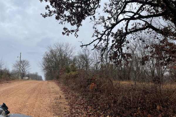
Ozark to Nettle
Enjoy some of Neosho's beautiful hidden scenery as you travel down this lovely dirt trail. This trail is another easy one for the area, there are no obstacles to overcome nor are there any branches or trees sticking out that will damage your rig. This can easily be completed with any of the other tr...
Learn more about Ozark to Nettle
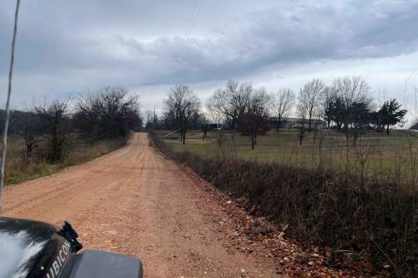
Palm Dirt Road
Ready to take a quick break after a long day? Look no further than Palm Road, the perfect dirt road that will curb your craving of going off road. This road is great at any time of year and is the perfect trail for any skill level. This road can be accessed by all vehicle types.
Learn more about Palm Dirt Road
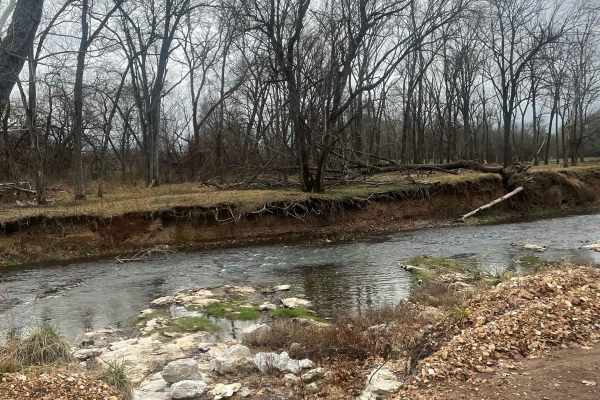
Country Road Nec35A
Take a break from the daily hustle and bustle of paved roads and enjoy a scenic view. This dirt road is perfect for someone looking to get their rig dirty without tearing anything up on their vehicle. There are no large obstacles that would cause any technical issues, this road can easily be travele...
Learn more about Country Road Nec35A
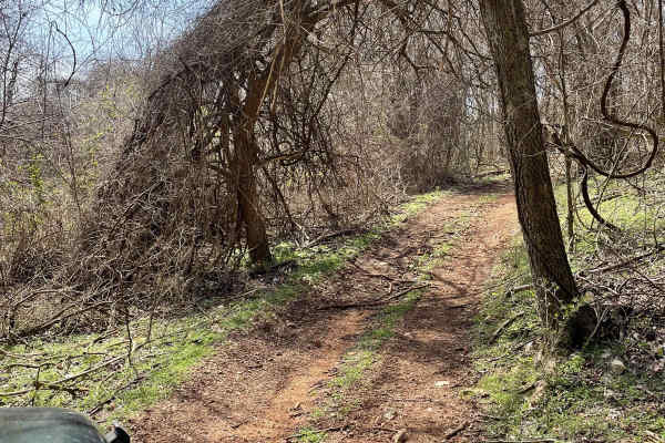
J&D Off-Road Park Chat Trail
This trail is located inside J&D off-road park. It is $25 to enter and that is good for the whole day. This trail begins with a rocky incline that is easily achieved in a 2WD drive. As you continue down the trail, you'll have the opportunity to go through some mud holes, after heavy rains they get ...
Learn more about J&D Off-Road Park Chat Trail
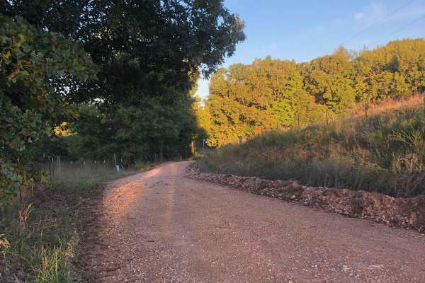
Hayfield Trail
Looking for an easy way to enjoy some scenery? This 5-mile trail will allow you to get the offroad experience without having to worry about tearing up your vehicle. This trail can be easily completed by any stock vehicle, but it should be noted that there are some low-water bridges that could flood ...
Learn more about Hayfield Trail
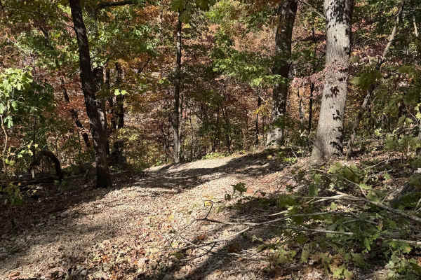
Red 69
Red 69 is located right off of Red 68 as a connector or off-shoot trail. It connects to Yellow 66 at the other end. This is a non-directional trail so you can run it from either direction. The base of this trail is loose rock in various sizes.
Learn more about Red 69
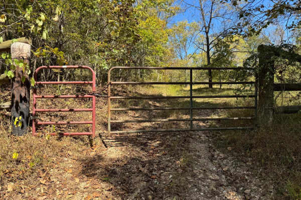
Green 8
Green 8 starts at a locked gate, that is the boundary of the park. You will end this trail where it meets with Yellow 9. You will cross over several other trails along the way. As well as pass by several other trails to jump off on and the Deer Prairie location.
Learn more about Green 8
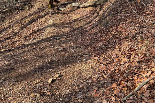
Yellow 304
Yellow 304 is a non-directional trail that is located on the northern end of the park. You can run this trail from either direction. Yellow 304 is connected to Green 1 at one end and Green 8 at the other end. Along the way, you will also have access to Green 76.
Learn more about Yellow 304
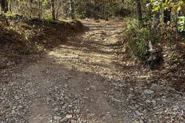
Green 70
Green 70 is located over by Deer Prairie. It connects to Green 8 at one end and Green 73 at the other end. This is a non-directional trail so you can run it from either direction. You will pass by other trails such as Yellow 18, Power Wagon 75, and Yellow 71 along the way.
Learn more about Green 70
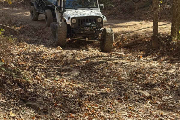
Yellow 66
Yellow 66 is located on the northeast corner of the park. It is a non-directional trail so you can run it from either direction. It is connected to Green 1 at one end and at the other end where Waterfall Crawl at the other end. If need be you can take this trail to Overflow Parking 34.
Learn more about Yellow 66
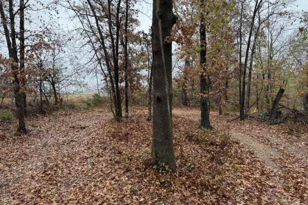
Red 100
Red 100 has a Y enter ace where it connects to Yellow 19. It also connects to Yellow 101 at the other end. This is a non-directional trail so you can run it from either direction. You will also get access to Yellow 132, One Tree Hill 131, and Yellow 99.
Learn more about Red 100
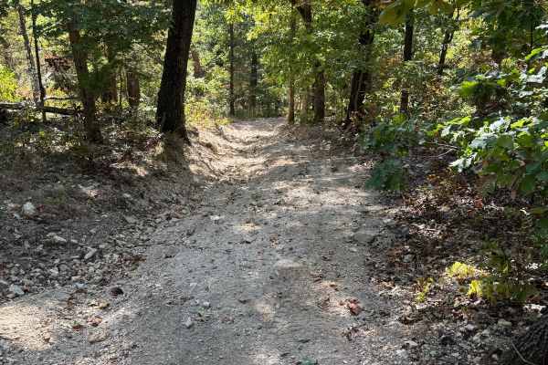
Yellow 20
Yellow 20 is an off-shot trail of Yellow 19. This trail is overgrown at one end. There are signs of natural erosion due to rain fall in the middle of the trail. You will pass by other spur trails or trails that intersect with Yellow 20 along the way.
Learn more about Yellow 20
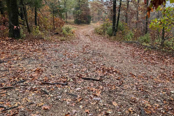
Green 95
Green 95 is located near Deer Prairie. This trail is connected to Yellow 19 at one end and to Yellow 18 at the other end. This is a non-directional trail so you can run it from either direction. This trail is well-traveled and has spots in the grass where you can pull over to let other vehicles pass...
Learn more about Green 95
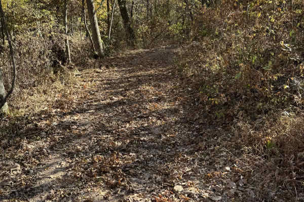
Green 72
Green 72 is located near Deer Prairie. This trail connects to Green 70 at one end and Green 73 at the other end. This is a non-directional trail so you can run it from either direction. Along the way, you will pass over the trail named Green 8 as well.
Learn more about Green 72
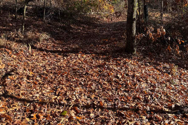
Green 107
Green 107 is a short connector trail between Yellow 18 and Yellow 19. This is a non-directional trail so you can run it from either direction. This trail is very well-traveled and not hard to miss like some of the other trails in this area of the park.
Learn more about Green 107
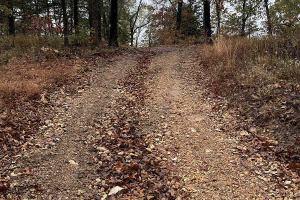
Green 102
Green 102 is a short connector trail between Yellow 71 and Yellow 19. This is located on the upper portion of Deer Prairie and is the far north boundary of the park. It is a non-directional trail so you can run it from either direction. The base is hard-packed dirt and rock.
Learn more about Green 102
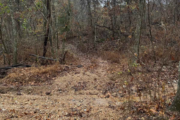
Green 76
Green 76 is a short connector trail that connects to Green 1 at one end and Green 8 at the other end. It has signs showing RZR trail, however this can be run by a Jeep or other vehicle. This is a non directional trail so you can run it from either direction. This trail has a rock base with trees on ...
Learn more about Green 76
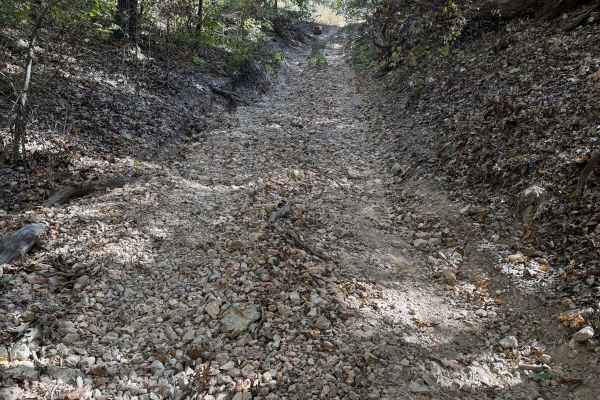
Yellow 67
Yellow 67 is located on the far northeast corner of the park. It is connected to Waterfall 35 at one end and Overflow Parking 34 at the other end. This is a non-directional trail so you can run it from either direction. The base of this trail is loose rock in various sizes.
Learn more about Yellow 67
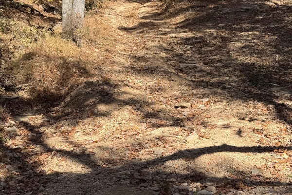
Red 68
Red 68 runs next to Yellow 66. It connects to Green 1 at one end end and to Yellow 66 at the other end. This is a non-directional trail so you can run it from either direction. If you decide this trail is too difficult toward the top then you can opt to take Red 69.
Learn more about Red 68
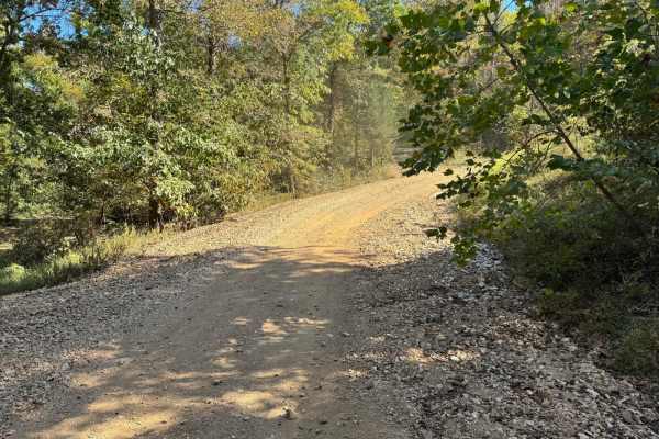
Green 14
Located off of Green 1, this trail will lead you back up to the camping area by the RV spots. This could be used as the main trail to get you in and out of the RV camping area. This trail is wide enough to get a truck with a long trailer down in the event a recovery is needed. When going down there ...
Learn more about Green 14
ATV trails near Ritchey, Missouri
Explore ATV-friendly trails near you. These trails are accessible for vehicles up to 50 inches wide, perfect for ATVs and smaller off-road machines.
Ozark to Nettle
Enjoy some of Neosho's beautiful hidden scenery as you travel down this lovely dirt trail. This trail is another easy one for the area, there are no obstacles to overcome nor are there any branches or trees sticking out that will damage your rig. This can easily be completed with any of the other tr...
Learn more about Ozark to Nettle
Palm Dirt Road
Ready to take a quick break after a long day? Look no further than Palm Road, the perfect dirt road that will curb your craving of going off road. This road is great at any time of year and is the perfect trail for any skill level. This road can be accessed by all vehicle types.
Learn more about Palm Dirt Road
Country Road Nec35A
Take a break from the daily hustle and bustle of paved roads and enjoy a scenic view. This dirt road is perfect for someone looking to get their rig dirty without tearing anything up on their vehicle. There are no large obstacles that would cause any technical issues, this road can easily be travele...
Learn more about Country Road Nec35A
J&D Off-Road Park Chat Trail
This trail is located inside J&D off-road park. It is $25 to enter and that is good for the whole day. This trail begins with a rocky incline that is easily achieved in a 2WD drive. As you continue down the trail, you'll have the opportunity to go through some mud holes, after heavy rains they get ...
Learn more about J&D Off-Road Park Chat Trail
UTV/side-by-side trails near Ritchey, Missouri
Find UTV and side-by-side trails near you. These trails accommodate vehicles up to 60 inches wide, ideal for UTVs, side-by-sides, and wider off-road rigs.
Ozark to Nettle
Enjoy some of Neosho's beautiful hidden scenery as you travel down this lovely dirt trail. This trail is another easy one for the area, there are no obstacles to overcome nor are there any branches or trees sticking out that will damage your rig. This can easily be completed with any of the other tr...
Learn more about Ozark to Nettle
Palm Dirt Road
Ready to take a quick break after a long day? Look no further than Palm Road, the perfect dirt road that will curb your craving of going off road. This road is great at any time of year and is the perfect trail for any skill level. This road can be accessed by all vehicle types.
Learn more about Palm Dirt Road
Country Road Nec35A
Take a break from the daily hustle and bustle of paved roads and enjoy a scenic view. This dirt road is perfect for someone looking to get their rig dirty without tearing anything up on their vehicle. There are no large obstacles that would cause any technical issues, this road can easily be travele...
Learn more about Country Road Nec35A
J&D Off-Road Park Chat Trail
This trail is located inside J&D off-road park. It is $25 to enter and that is good for the whole day. This trail begins with a rocky incline that is easily achieved in a 2WD drive. As you continue down the trail, you'll have the opportunity to go through some mud holes, after heavy rains they get ...
Learn more about J&D Off-Road Park Chat Trail
The onX Offroad Difference
onX Offroad combines trail photos, descriptions, difficulty ratings, width restrictions, seasonality, and more in a user-friendly interface. Available on all devices, with offline access and full compatibility with CarPlay and Android Auto. Discover what you're missing today!
Open Trail Map