
Dirt Bike Trails
Near Republican City, Nebraska
Explore All Dirt Bike Trails Near Republican City, Nebraska
Dirt Bike Trails Near Republican City, Nebraska
Discover the best dirt bike trails near you. Browse trail maps, check difficulty ratings, and find your next adventure — whether you're looking for a quick ride or an all-day expedition.
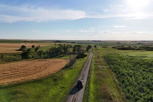
Waconda
This trail follows around the south side of Waconda Lake. The Lake was created in 1969, but before it was a lake, it was known as Waconda Springs, and was a sacred gathering place for the various Native American Tribes. Several access points along this trail allow you to get down to the lake. Don't...
Learn more about Waconda
ATV trails near Republican City, Nebraska
Explore ATV-friendly trails near you. These trails are accessible for vehicles up to 50 inches wide, perfect for ATVs and smaller off-road machines.
Waconda
This trail follows around the south side of Waconda Lake. The Lake was created in 1969, but before it was a lake, it was known as Waconda Springs, and was a sacred gathering place for the various Native American Tribes. Several access points along this trail allow you to get down to the lake. Don't...
Learn more about Waconda
UTV/side-by-side trails near Republican City, Nebraska
Find UTV and side-by-side trails near you. These trails accommodate vehicles up to 60 inches wide, ideal for UTVs, side-by-sides, and wider off-road rigs.
Waconda
This trail follows around the south side of Waconda Lake. The Lake was created in 1969, but before it was a lake, it was known as Waconda Springs, and was a sacred gathering place for the various Native American Tribes. Several access points along this trail allow you to get down to the lake. Don't...
Learn more about Waconda
The onX Offroad Difference
onX Offroad combines trail photos, descriptions, difficulty ratings, width restrictions, seasonality, and more in a user-friendly interface. Available on all devices, with offline access and full compatibility with CarPlay and Android Auto. Discover what you're missing today!
Open Trail Map