
Dirt Bike Trails
Near Privateer, South Carolina
Explore All Dirt Bike Trails Near Privateer, South Carolina
Dirt Bike Trails Near Privateer, South Carolina
Discover the best dirt bike trails near you. Browse trail maps, check difficulty ratings, and find your next adventure — whether you're looking for a quick ride or an all-day expedition.

Green Loop
The Manchester State Forest Green Loop is a clockwise single-track trail. It features hard-packed sand with pine needles, tight turns, and plenty of whoops. A $5 per day or $25 annual permit is required; you can pay using an envelope at the staging area or online. Also, be on the lookout for alliga...
Learn more about Green Loop
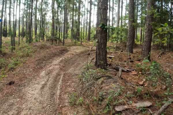
Outerloop
The Manchester State Forest Outer Loop trail is ridden in a counterclockwise direction. This flat trail offers both 50-inch and single-track routes, featuring half hard-packed surfaces mixed with pine needles and soft, loose flat sand. Riders can expect some sweeping turns and sandy whoops along the...
Learn more about Outerloop
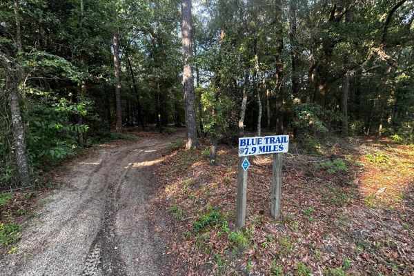
Inner Loop
The Manchester State Forest Inner Loop single track is ridden counterclockwise . It features mostly flat terrain with a hard-packed surface, mixed with pine needles and some sections of loose sand. Riders will encounter plenty of whoops, twists, and berms along the route. Please note that this trail...
Learn more about Inner Loop
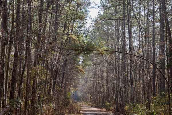
FSR115 - Bonneau Road
This trail, like many others in Francis Marion National Forest, traverses the upland hardwood forest, where wildlife is often spotted. It starts at one of the Palmetto Trail intersections and runs parallel to it for most of the way. The road is flat, with occasional muddy puddles, but there are no m...
Learn more about FSR115 - Bonneau Road
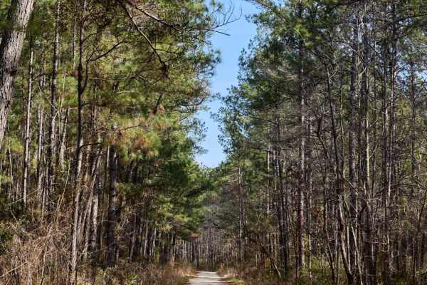
FSR6034 - Wiggins Road
The Francis Marion National Forest is located north of Charleston, South Carolina. It is named for revolutionary war hero Francis Marion, who was known to the British as the Swamp Fox. It lies entirely within the Middle Atlantic coastal forests ecoregion. The park is also entirely in a subtropical c...
Learn more about FSR6034 - Wiggins Road
Swift Creek Road
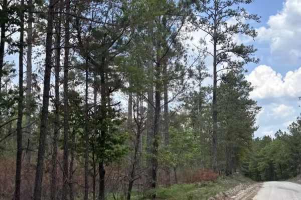
Swift Creek Road runs along the boundary of the Carolina Sandhills National Wildlife Refuge. The road surface was mostly sandy and light-colored, with some loose sand, pine needles, and small debris along the edges. The route offers wide open views of long sand roads, pine forest, and big sky. There...
Learn more about Swift Creek Road
FSR 147 - Mill Race
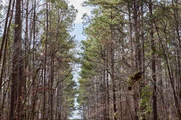
The Francis Marion National Forest is located north of Charleston, South Carolina. It is named for revolutionary war hero Francis Marion, who was known to the British as the Swamp Fox. It lies entirely within the Middle Atlantic coastal forests ecoregion. The park is also entirely in a subtropical c...
Learn more about FSR 147 - Mill Race
FSR108 - Bullhead Road
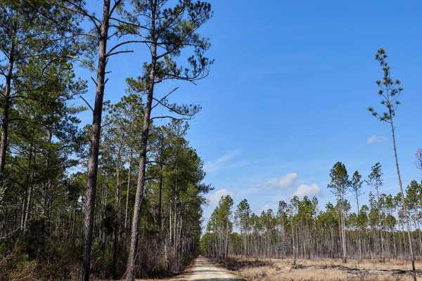
The Francis Marion National Forest is located north of Charleston, South Carolina. It is named for revolutionary war hero Francis Marion, who was known to the British as the Swamp Fox. It lies entirely within the Middle Atlantic coastal forests ecoregion. The park is also entirely in a subtropical c...
Learn more about FSR108 - Bullhead Road
FSR128 - Wadboo Loop
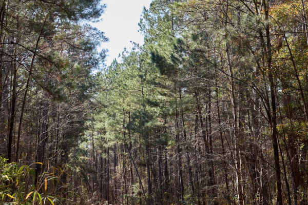
This trail, like many others in Francis Marion National Forest, traverses the upland hardwood forest, a haven for wildlife. It begins at one of the Palmetto Trail intersections and runs parallel to it for most of the journey. The road is flat, with occasional muddy puddles, but there are no signific...
Learn more about FSR128 - Wadboo Loop
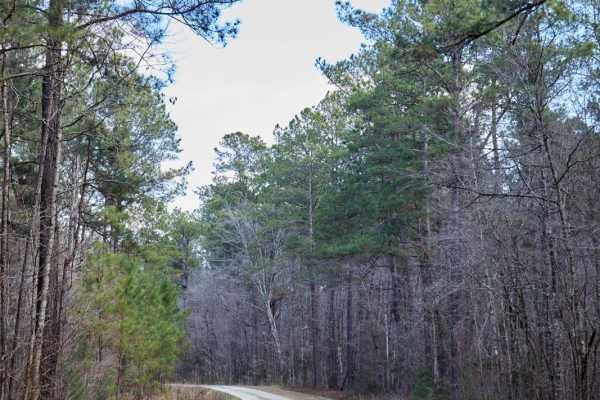
FSR124 - Freeman Road
This trail, like many others in Francis Marion National Forest, traverses the upland hardwood forest, where wildlife is often spotted. This trail is vital in providing an access point to the South Carolina Adventure Route across Walleye Bay. The road is flat, with occasional muddy puddles, but there...
Learn more about FSR124 - Freeman Road

FSR198 - Callum Road
This trail, like many others in Francis Marion National Forest, traverses the upland hardwood forest, where wildlife is often spotted. It starts at one of the Palmetto Trail intersections and runs parallel to it for most of the way. The road is flat, with occasional muddy puddles, but there are no m...
Learn more about FSR198 - Callum Road
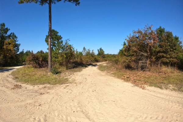
Devine Drive
The trail is well-maintained, wide, and features compact sand, making it relatively easy. Starting from the southern section near Lola's Loop, the trail is wide and dusty, offering little challenge. However, as you approach the intersection near Monies Hollow, it gradually narrows and becomes muddie...
Learn more about Devine Drive
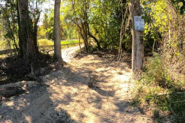
Monies Hollow
This is a single-lane trail that follows the gas line to Devine Drive at the western edge of the property. This trail is mostly comprised of compact sand and has several sections prone to standing water, with no bypass available. The sections of standing water are long and potentially deep. The trai...
Learn more about Monies Hollow
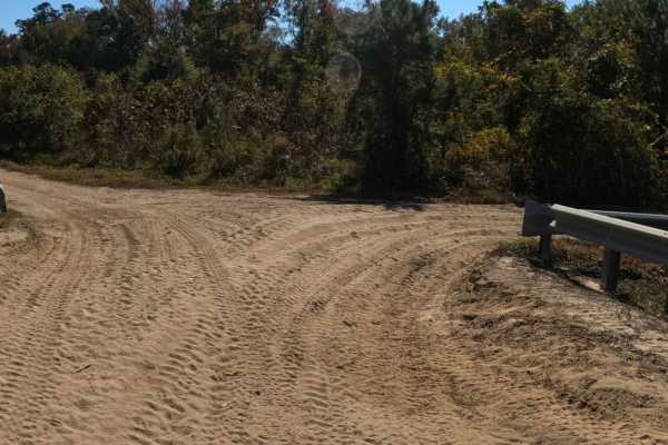
RCS Track
RCS Track is a single-lane trail, with plenty of areas to pass, that is mostly comprised of compact sand. Several low areas exist where mud pits have formed after heavy rain; bypass trails exist above all of them. This trail offers a little something for all abilities as well as cut-through access t...
Learn more about RCS Track
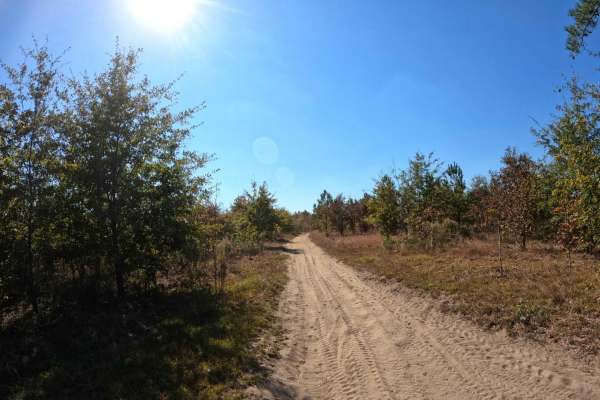
Tweety's Tweet
Tweety's Tweet is an easy, single-lane trail of compact sand that is great for bird-watching or escaping the crowds. Sitting higher than RCS Track, there is no mud on this trail, and it is seemingly less dusty than other trails in the area. However, the trail is narrow in most places, with very few ...
Learn more about Tweety's Tweet
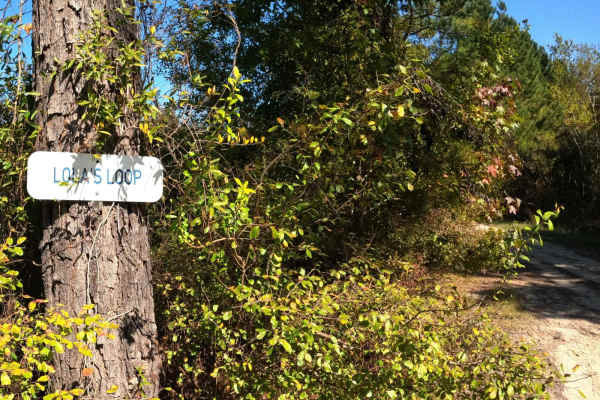
Lola's Loop
Lola's Loop is an easy, scenic cut-off that will bypass the area on Secret Passage that tends to have standing water. There is a deep rutted section on Lola's that you'll need to use caution around, however there is a wide bypass along the edge of it. It is more shaded in the afternoon if you're loo...
Learn more about Lola's Loop
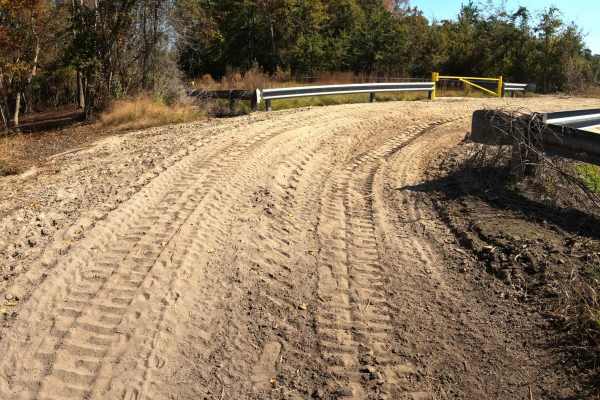
Loki Lane
This unmarked trail is a connector between Monies Hollow and Secret Passage. It's a wide trail comprised of mostly loose sand. This is a great option if you're looking to bypass the flooded section of Monies Hollow or if you're looking for a quick way to access Divine Drive.
Learn more about Loki Lane
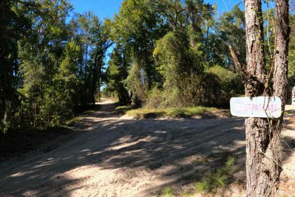
Secret Passage
This is a wide and well-maintained trail made of compact sand that gives access to several other trails in the system. There is one small area of water about midway through the trail, but it is shallow and easily passed along the edge. No other obstacles exist on this trail.
Learn more about Secret Passage
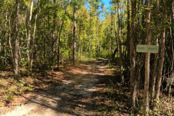
Bean Sprout
If you're looking for a little side trip off of Jordan's Circle to beat the crowds or cut the corner, then Bean Sprout is a nice option. It's also your only option. A winding single-lane trail of compact sand with no obstacles is a nice shortcut through the woods.
Learn more about Bean Sprout
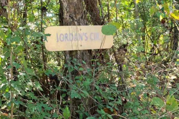
Jordan's Circle
This is a nice loop trail that will also give you access to other sections of the park. Most of the trail consists of hard-packed sand;however, the northern section of the loop is prone to minor flooding, and several mudholes and deep ruts exist that require a bypass through a narrow section of tree...
Learn more about Jordan's Circle
ATV trails near Privateer, South Carolina
Explore ATV-friendly trails near you. These trails are accessible for vehicles up to 50 inches wide, perfect for ATVs and smaller off-road machines.
Outerloop
The Manchester State Forest Outer Loop trail is ridden in a counterclockwise direction. This flat trail offers both 50-inch and single-track routes, featuring half hard-packed surfaces mixed with pine needles and soft, loose flat sand. Riders can expect some sweeping turns and sandy whoops along the...
Learn more about Outerloop
FSR115 - Bonneau Road
This trail, like many others in Francis Marion National Forest, traverses the upland hardwood forest, where wildlife is often spotted. It starts at one of the Palmetto Trail intersections and runs parallel to it for most of the way. The road is flat, with occasional muddy puddles, but there are no m...
Learn more about FSR115 - Bonneau Road
FSR6034 - Wiggins Road
The Francis Marion National Forest is located north of Charleston, South Carolina. It is named for revolutionary war hero Francis Marion, who was known to the British as the Swamp Fox. It lies entirely within the Middle Atlantic coastal forests ecoregion. The park is also entirely in a subtropical c...
Learn more about FSR6034 - Wiggins Road
Swift Creek Road
Swift Creek Road runs along the boundary of the Carolina Sandhills National Wildlife Refuge. The road surface was mostly sandy and light-colored, with some loose sand, pine needles, and small debris along the edges. The route offers wide open views of long sand roads, pine forest, and big sky. There...
Learn more about Swift Creek Road
UTV/side-by-side trails near Privateer, South Carolina
Find UTV and side-by-side trails near you. These trails accommodate vehicles up to 60 inches wide, ideal for UTVs, side-by-sides, and wider off-road rigs.
FSR115 - Bonneau Road
This trail, like many others in Francis Marion National Forest, traverses the upland hardwood forest, where wildlife is often spotted. It starts at one of the Palmetto Trail intersections and runs parallel to it for most of the way. The road is flat, with occasional muddy puddles, but there are no m...
Learn more about FSR115 - Bonneau Road
FSR6034 - Wiggins Road
The Francis Marion National Forest is located north of Charleston, South Carolina. It is named for revolutionary war hero Francis Marion, who was known to the British as the Swamp Fox. It lies entirely within the Middle Atlantic coastal forests ecoregion. The park is also entirely in a subtropical c...
Learn more about FSR6034 - Wiggins Road
Swift Creek Road
Swift Creek Road runs along the boundary of the Carolina Sandhills National Wildlife Refuge. The road surface was mostly sandy and light-colored, with some loose sand, pine needles, and small debris along the edges. The route offers wide open views of long sand roads, pine forest, and big sky. There...
Learn more about Swift Creek Road
FSR 147 - Mill Race
The Francis Marion National Forest is located north of Charleston, South Carolina. It is named for revolutionary war hero Francis Marion, who was known to the British as the Swamp Fox. It lies entirely within the Middle Atlantic coastal forests ecoregion. The park is also entirely in a subtropical c...
Learn more about FSR 147 - Mill Race
The onX Offroad Difference
onX Offroad combines trail photos, descriptions, difficulty ratings, width restrictions, seasonality, and more in a user-friendly interface. Available on all devices, with offline access and full compatibility with CarPlay and Android Auto. Discover what you're missing today!
Open Trail Map