
Dirt Bike Trails
Near Paul Smiths, New York
Explore All Dirt Bike Trails Near Paul Smiths, New York
Dirt Bike Trails Near Paul Smiths, New York
Discover the best dirt bike trails near you. Browse trail maps, check difficulty ratings, and find your next adventure — whether you're looking for a quick ride or an all-day expedition.
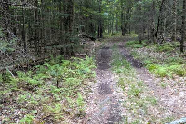
SLC-Forest-20
This is a 50" Trail on Saint Lawrence County Parcel 20. Heavily wooded forest, dirt trail. Easy and fun to ride, allowing for observation of nature and wildlife. Part of the original County Pilot Trail, formed 20 years ago to promote ATV riding in the county. It is a "multiuse trail" open to hor...
Learn more about SLC-Forest-20
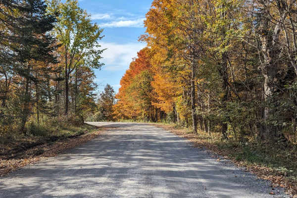
Santamont Road
This well-maintained gravel road in the town of Hopkinton is open to all registered, motorized vehicles. It connects from the Lake Ozonia Road multi-use trail to the Sylvan Falls Road part of the county multi-use trail system. It passes through a remote forested area with beaver ponds and other wild...
Learn more about Santamont Road
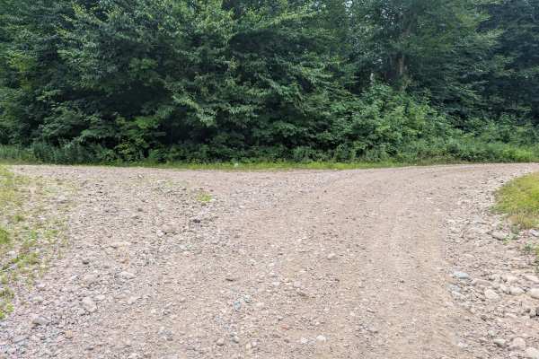
Goldmine Trail
This unmaintained gravel spur branches off Goldmine Road and the main easement access route. The road follows an old logging path, offering a rugged but navigable drive through forested terrain. Scattered along the route are a few primitive camping spots suitable for dispersed camping. A single wash...
Learn more about Goldmine Trail
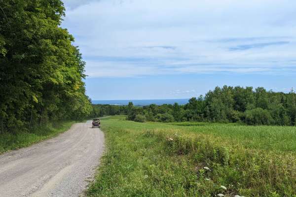
Jones Road
This 2.25 mile route of minimally maintained gravel and town road is open to all registered motorized vehicles. It connects sections of the St. Lawrence County Multi-Use Trail, has some great views of the St. Regis River in the town of Hopkinton, and has some excellent opportunities for wildlife vie...
Learn more about Jones Road
Catherineville State Forest Road
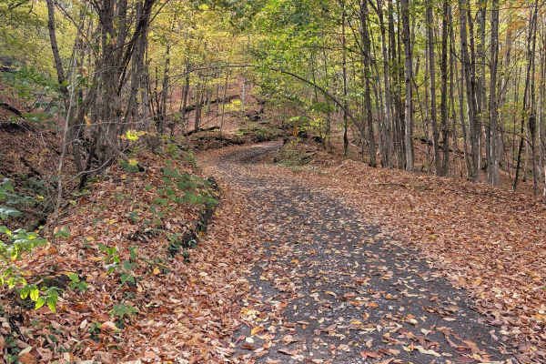
This is a gravel, New York State Forest Road open to all registered motorized vehicles, bicycles, and hikers. It's mostly open, hardwood forest, easy navigation, with many opportunities for wild game observation, and is available for remote tent or small vehicle camping. Deer and bear are the large ...
Learn more about Catherineville State Forest Road
Cassidy Road
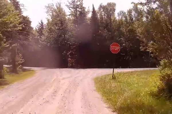
This trail is a seasonal gravel road in the Town of Hopkinton that connects White Hill Road to the Jones Road section of the county multi-use trail. It is not plowed in winter and receives minimal maintenance, remaining relatively flat and straight as it passes through remote forest land with opport...
Learn more about Cassidy Road
Clear Pond Road
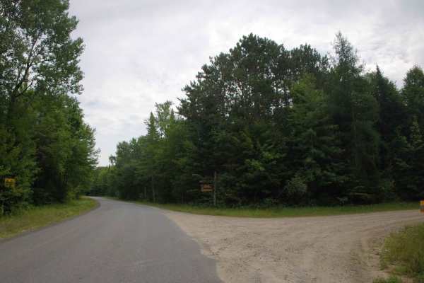
This is a public access gravel road into Clear Pond. Some great views along the road, and Clear Pond has great Brook Trout fishing opportunities. Easy access to most any vehicle on a minimum-maintenance road. All surrounding acreage is NY State Forest within the Adirondack State Park. Many trail...
Learn more about Clear Pond Road
Goldmine Road
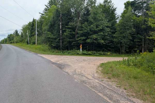
This trail is an unmaintained gravel road on the New York Goldmine Conservation Easement and provides a fun driving experience with wetlands and wildlife to see. The gravel road follows along the Rainbow Reservoir that was formed in the 1950s by a power generation project on the Raquette River. Loca...
Learn more about Goldmine Road
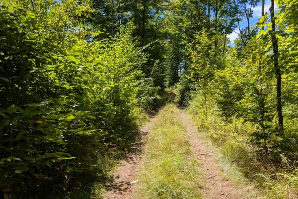
Grass River Trail Alternate
Just another option that connects to the Grass River Trail. Easy-going ATV trail with stony, muddy areas, hills, and some tight maneuvering required. Makes for an interesting option to get to the Grass River for some trout fishing and good scenery. Trail is good for ATVs and SxSs to 64 inches.
Learn more about Grass River Trail Alternate
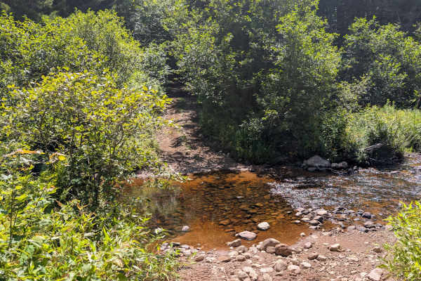
Grass River Trail
Another easy trail following the Grass River towards Baldface Mountain. The trail is muddy, hilly, and rocky in spots, but easy going. It's an ATV trail but accessible to wider SxSs up to 64 inches. There are trout fishing opportunities along the river and scenic wetlands. The loop trail at the end ...
Learn more about Grass River Trail
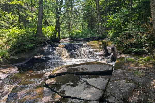
Grass River Trail Connector
Trail connecting Long Pond Road to Grass River Trail. Has some more difficult areas to maneuver, rocks, muddy, tight turns, and a log bridge. Makes for a great connection option to the Grass River Trail for trout fishing and views of wetlands and Baldface Mountain. This trail is more difficult,...
Learn more about Grass River Trail Connector
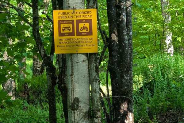
Long Pond Road
Old, unmaintained logging road from Main Haul Road to Long Pond. Access to a Camping site with a privy and excellent trout fishing. The campsite can accommodate small RV trailers, truck campers, vans, and tents. This site is fairly remote with no through traffic. You won't see many other vehicles or...
Learn more about Long Pond Road
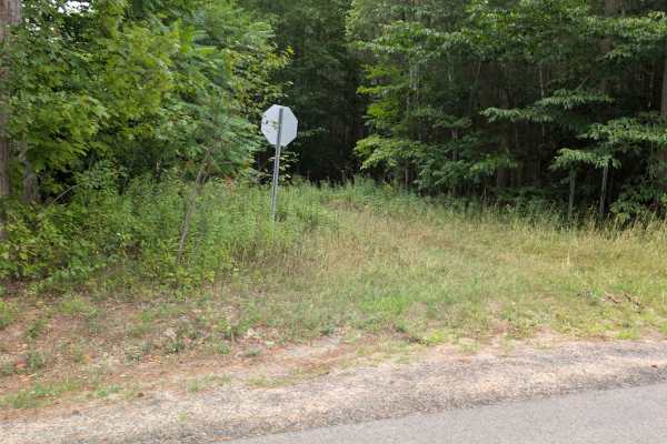
SLC-Forest-12
This is a 50-inch rail on St. Lawrence County Parcel 20. This is a heavily wooded forest, dirt trail. Easy and fun to ride, observing nature and wildlife. Part of the original County Pilot Trail, formed 20 years ago to promote ATV riding in the county. It is a "multiuse trail" open to horses, hiking...
Learn more about SLC-Forest-12
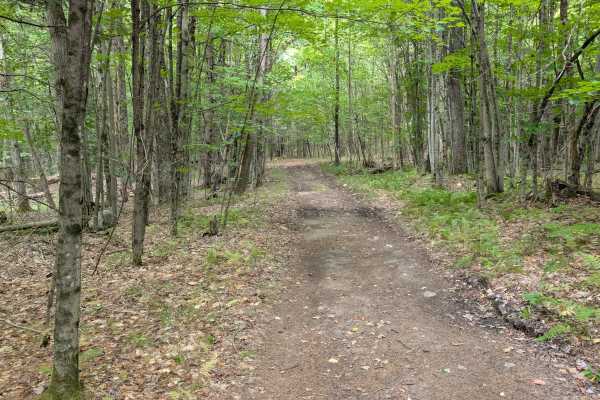
SLC-FOREST-14
This is a 50" Trail on St. Lawrence County Parcel 20. Heavily wooded forest, dirt trail. Easy and fun to ride, observing nature and wildlife. Part of the original County Pilot Trail, formed 20 years ago to promote ATV riding in the county. It is a "multiuse trail" open to horses, hiking, bikes, ...
Learn more about SLC-FOREST-14
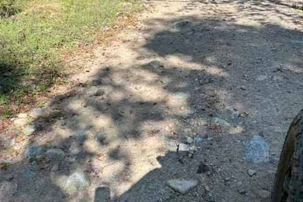
Picketville Road
This is an alternative route to get between South Colton and Parishville. It is part of the Goldmine trail. The trail starts at the end of Morgan Road and ends on Pickettville Road outside of Parishville. This is a rough trail so be ready.
Learn more about Picketville Road
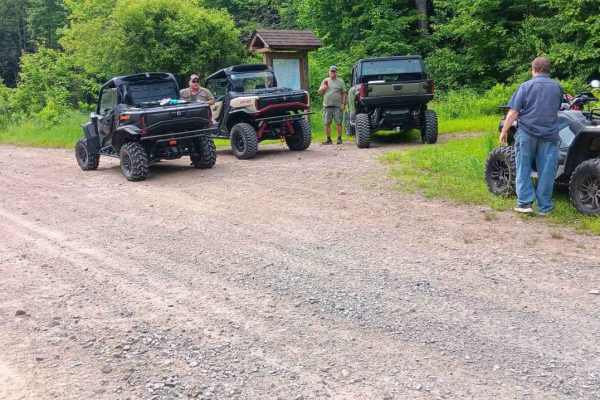
A-Frame Road
This is another side trail/road on Long Pond Easement. It is open to all motorized vehicles. An unimproved, unmaintained gravel logging road. A private camp is at the end of the road. Access to Blue Pond, via a side trail, for some Brook trout fishing is part of the scene. Watch for wildlife.
Learn more about A-Frame Road

SLC-TRAIL 21
This is a 50" Trail on St. Lawrence County Parcel 20. It is a heavily wooded forest, dirt trail. It is an easy and fun to ride, observing nature and wildlife. Part of the original County Pilot Trail, formed 20 years ago to promote ATV riding in the county. It is a "multiuse trail" open to horses, hi...
Learn more about SLC-TRAIL 21
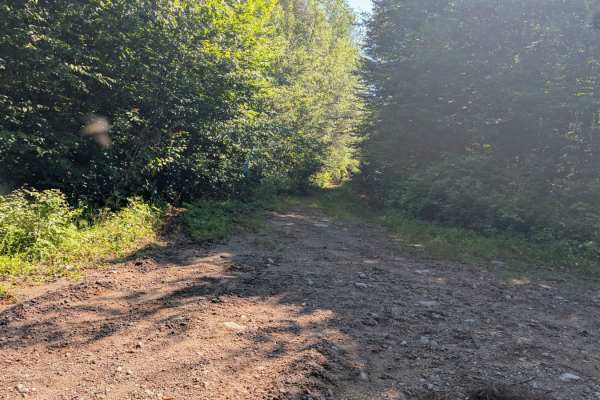
Blue Pond Road
This is an old, unimproved/unmainted logging road. Not an especially difficult trail, but it can be a challenge when wet. There are large stones to get around, and tall weeds can hide some obstacles. Need to be prepared for downed trees. Just keep an eye out and "crawl" through.
Learn more about Blue Pond Road
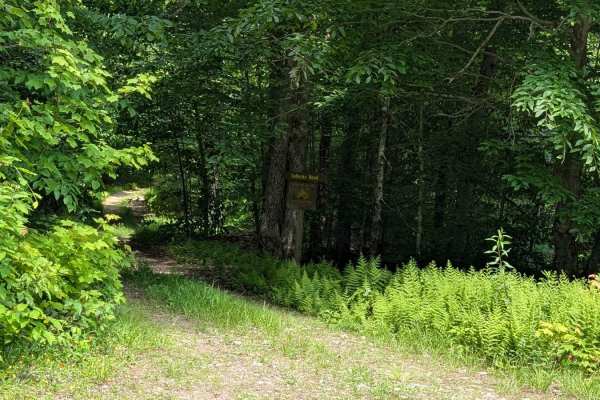
Sellecks Road Loop
This is an old logging road and skidder trail that loops off the Little John Road on the nearby Grass River (good trout stream). Sellecks Road part is an old gravel road, skidder trail is wet, stony, and muddy in several areas. Take it slow and easy over the stones.
Learn more about Sellecks Road Loop
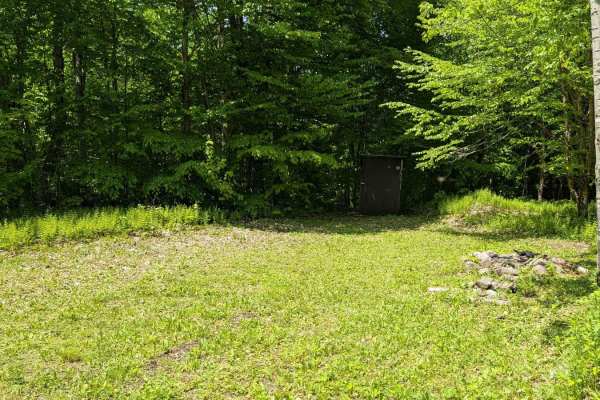
Goblet Springs Road
This is a gravel logging road to the Goblet Springs site. There is a camping area available on this trail. It's normally an easy drive, but weather and logging conditions can make that change. A high clearance 4x4 vehicle is recommended. Access is wide open and would be quite remote. There are not m...
Learn more about Goblet Springs Road
ATV trails near Paul Smiths, New York
Explore ATV-friendly trails near you. These trails are accessible for vehicles up to 50 inches wide, perfect for ATVs and smaller off-road machines.
SLC-Forest-20
This is a 50" Trail on Saint Lawrence County Parcel 20. Heavily wooded forest, dirt trail. Easy and fun to ride, allowing for observation of nature and wildlife. Part of the original County Pilot Trail, formed 20 years ago to promote ATV riding in the county. It is a "multiuse trail" open to hor...
Learn more about SLC-Forest-20
Santamont Road
This well-maintained gravel road in the town of Hopkinton is open to all registered, motorized vehicles. It connects from the Lake Ozonia Road multi-use trail to the Sylvan Falls Road part of the county multi-use trail system. It passes through a remote forested area with beaver ponds and other wild...
Learn more about Santamont Road
Goldmine Trail
This unmaintained gravel spur branches off Goldmine Road and the main easement access route. The road follows an old logging path, offering a rugged but navigable drive through forested terrain. Scattered along the route are a few primitive camping spots suitable for dispersed camping. A single wash...
Learn more about Goldmine Trail
Jones Road
This 2.25 mile route of minimally maintained gravel and town road is open to all registered motorized vehicles. It connects sections of the St. Lawrence County Multi-Use Trail, has some great views of the St. Regis River in the town of Hopkinton, and has some excellent opportunities for wildlife vie...
Learn more about Jones Road
UTV/side-by-side trails near Paul Smiths, New York
Find UTV and side-by-side trails near you. These trails accommodate vehicles up to 60 inches wide, ideal for UTVs, side-by-sides, and wider off-road rigs.
Santamont Road
This well-maintained gravel road in the town of Hopkinton is open to all registered, motorized vehicles. It connects from the Lake Ozonia Road multi-use trail to the Sylvan Falls Road part of the county multi-use trail system. It passes through a remote forested area with beaver ponds and other wild...
Learn more about Santamont Road
Goldmine Trail
This unmaintained gravel spur branches off Goldmine Road and the main easement access route. The road follows an old logging path, offering a rugged but navigable drive through forested terrain. Scattered along the route are a few primitive camping spots suitable for dispersed camping. A single wash...
Learn more about Goldmine Trail
Jones Road
This 2.25 mile route of minimally maintained gravel and town road is open to all registered motorized vehicles. It connects sections of the St. Lawrence County Multi-Use Trail, has some great views of the St. Regis River in the town of Hopkinton, and has some excellent opportunities for wildlife vie...
Learn more about Jones Road
Catherineville State Forest Road
This is a gravel, New York State Forest Road open to all registered motorized vehicles, bicycles, and hikers. It's mostly open, hardwood forest, easy navigation, with many opportunities for wild game observation, and is available for remote tent or small vehicle camping. Deer and bear are the large ...
Learn more about Catherineville State Forest Road
The onX Offroad Difference
onX Offroad combines trail photos, descriptions, difficulty ratings, width restrictions, seasonality, and more in a user-friendly interface. Available on all devices, with offline access and full compatibility with CarPlay and Android Auto. Discover what you're missing today!
Open Trail Map